Install
Sacaton, AZ Weather
Current conditions
Observed at Chandler, Chandler Municipal Airport · 1 hr ago
Forecast
10-day-
Friday
Sunny, with a high near 77. West wind 0 to 5 mph.
-
Friday Night
Mostly clear, with a low around 58. West southwest wind 0 to 5 mph.
-
Saturday
Sunny, with a high near 77. North northeast wind 0 to 5 mph.
National Weather Service forecast updated 3 days ago.
Hourly
Hourly forecast- Now62°
- 8 AM63°
- 9 AM66°
- 10 AM70°
- 11 AM73°
- 12 PM75°
- 1 PM76°
- 2 PM76°
- 3 PM76°
- 4 PM75°
- 5 PM73°
- 6 PM71°
- 7 PM69°
- 8 PM68°
- 9 PM67°
- 10 PM66°
- 11 PM65°
- Sat12 AM64°
- 1 AM62°
- 2 AM61°
- 3 AM60°
- 4 AM59°
- 5 AM59°
- 6 AM59°
10-day forecast
Details- TonightOct 19Mostly Clear67°
- TueOct 20Mostly Sunny37%70°91°
- WedOct 21Slight Chance Showers And Thunderstorms then Chance Showers And Thunderstorms85%68°88°
- ThuOct 22Showers And Thunderstorms77%61°83°
- TodayOct 23Sunny58°77°
- SatOct 24Sunny58°77°
- SunOct 25Sunny61°82°
- MonOct 26Mostly Sunny83°
- TueOct 27Sunny61°84°
- WedOct 28Cloudy66°83°
Days after the National Weather Service's seven are MET Norway's outlook, a computer model with no forecaster's review.
Radar
Full mapWeather news near Sacaton
More weather news- Brewing nor’easter to stir up days of trouble for the Outer Banks and Mid-Atlantic
By Meteorologists Mary Gilbert, Tyler Ory, CNN (CNN) — Strong winds, pounding seas and coastal flood threats will be near-constant companions for parts of North Carolina up through the Chesapeake Bay area this weekend…
- Phoenix Weather Windy Saturday Rain Chances Cooler Midweek
Before sunrise Saturday, mostly cloudy skies and strong easterly winds were already pushing across the Valley. The city is headed for a high near 81, with a slight chance of rain arriving late in the afternoon. East…
- Phoenix Wind Advisory Brings Dusty Friday Before Weekend Cooling
The advisory runs from 8 a.m. to 3 p.m. Friday, with east winds of 15 to 25 mph and gusts reaching 35 to 45 mph expected, according to the National Weather Service. The Phoenix area should reach about 89 degrees…
-
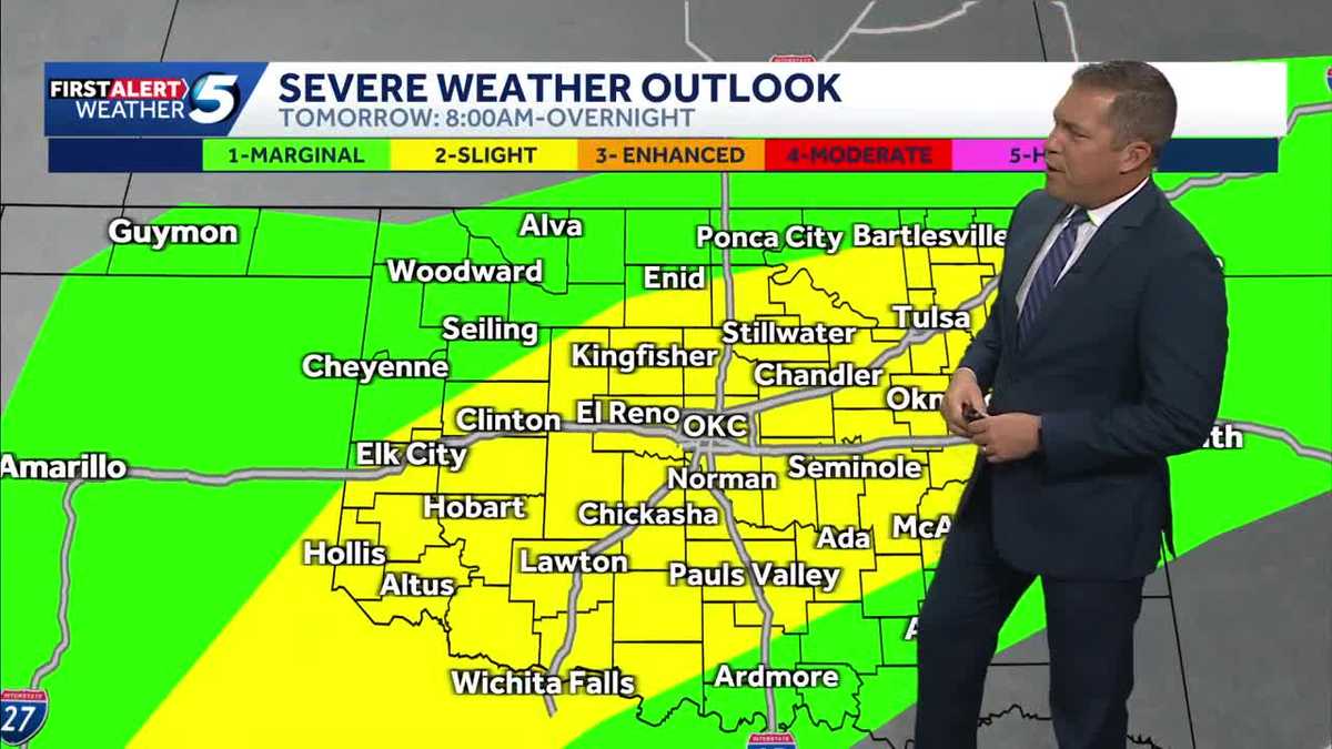 TIMELINE: Oklahoma to see more waves of severe storms with tornado threat Wednesday
More waves of severe storms are headed for Oklahoma Wednesday, with tornado and hail threats and several inches of rain possible. Severe thunderstorms moved into Oklahoma on Tuesday evening, but chances for severe…
-
 MOST ACCURATE FORECAST: Tornado Watch for much of Arizona
PHOENIX — A powerful fall storm is moving through Arizona. Strong to severe storms are impacting parts of the state again Thursday. The storm threat shifts into eastern Arizona this afternoon before clearing out…
-
 Golf Ball-Sized Hailstones Pummel Parts of Arizona in Rare Storm
Tornado watches were issued for several areas—the first in Arizona since 2010. What would you like to watch today?
-
 Tornado Watch in effect for parts of southeast Arizona
TUCSON, Ariz. (13 News) - Another active day across the state. Main threat will be heavy rain, strong winds, hail, and potentially a tornado. A Tornado Watch has been issued for to Graham, Greenlee, and Cochise counties…
-
 After a stormy few days in Arizona, sunshine and fall temps return Friday
TUCSON, Ariz. (13 News) - Tornado Watch in Cochise, Graham, and Greenlee Counties until 8pm tonight. Severe weather potential remains this afternoon and evening throughout Arizona. A Flood Watch is still valid for our…
-
 Majority of Arizona under tornado watch as severe weather threat continues
PHOENIX (AZFamily) — A tornado warning has been issued for the Show Low area until 5:15 p.m. on Thursday afternoon. A tornado watch remains in effect for northern and eastern Arizona through 9 p.m. tonight. This…
- Tornado watch issued for parts of Arizona; severe weather watch in place
PHOENIX (AZFamily) — A majority of Arizona is under a tornado watch as the state braces for another day of severe weather. The National Weather Service Flagstaff says parts of eastern, northern and southern Arizona are…
Air quality
Air quality is satisfactory, and air pollution poses little or no risk.
Gila River Indian Community, AZ reporting area · 2 hrs ago. Data from AirNow (EPA and its state, local and tribal partners); preliminary and subject to change.
Sun & moon
Almanac
MonthlyCasa Grande, records since 1903. Normals 1991–2020. Data from NOAA's Regional Climate Centers (ACIS).
Nearby
- Phoenix 52 km
- Mesa 39 km
- Chandler 27 km
- Gilbert 31 km
- Scottsdale 50 km
- Tempe 41 km
- Tempe Junction 42 km
- San Tan Valley 23 km
- Casa Grande 22 km
- Maricopa 29 km
- Apache Junction 42 km
- Queen Creek 21 km
Forecasters' discussion
From the National Weather Service office in PSR, issued 5 hrs ago
Key Messages
- Much quieter weather is expected today into Saturday with only a slight chance of a few showers over the central Arizona high terrain.
- Below normal temperatures through early next week will warm closer to the seasonal average by the middle of next week as dry conditions prevail across the region.
Aviation
Updated at 0530Z.
South Central Arizona including KPHX, KIWA, KSDL, and KDVT: No aviation weather concerns are expected through the forecast period under mostly clear skies. Winds will remain westerly through tomorrow afternoon aside from a brief easterly shift at KIWA for a few hours overnight. Speeds should gradually diminish and remain generally aob 7 kts through tomorrow.
Southeast California/Southwest Arizona including KIPL and KBLH: No aviation weather concerns are anticipated through the forecast period under clear skies. Winds will favor a westerly component at both terminals and eventually veer more out of the northwest by tomorrow afternoon. Speeds should remain light around 5-7 kts.
Fire Weather
Drier air has spread through the area since yesterday morning resulting in clearing skies and an end to the rain chances. The weather system will still linger across the region over the next couple of days bringing light shower chances to mountain areas Saturday, but no wetting rainfall is expected. Minimum humidity levels will fall into a 25-50% range following good to excellent overnight recovery. Light winds are forecast for today and for much of the area on Saturday with only some breeziness possible early Saturday across the western districts. Overall quiet weather conditions are forecast Sunday into next week with fairly stable humidities and temperatures rebounding back into the normal range by around Tuesday.
Psr Watches
AZ...None. CA...None.
Forecasts, observations and alerts in the United States come from the National Weather Service (NOAA); radar from NOAA's Multi-Radar Multi-Sensor system; satellite imagery from NASA's Global Imagery Browse Services (GIBS) and NOAA's GOES satellites; the map from the U.S. Geological Survey's National Map; air quality from AirNow (EPA and its partners); hurricane information from the National Hurricane Center; climate normals and records from NOAA's Regional Climate Centers (ACIS). Forecasts outside the United States and the UV index: MET Norway (CC BY 4.0); observations outside the U.S.: airport reports via NOAA's Aviation Weather Center. Place names: GeoNames (CC BY 4.0). Data are copied on a schedule and may lag the sources; for warnings that affect your safety, follow your local National Weather Service office and emergency officials. Weather news is drawn from the 4Search index and reflects what the press published. Terms of use.