Install
Apache Junction, AZ Weather
Current conditions
Observed at Mesa / Falcon Field · 1 hr ago
Forecast
10-day-
Today
Sunny. High near 90, with temperatures falling to around 88 in the afternoon. South southeast wind around 5 mph.
-
Tonight
A chance of showers and thunderstorms after 7pm. Mostly cloudy, with a low around 72. East wind 0 to 5 mph. Chance of precipitation is 50%. New rainfall amounts less than a tenth of an inch possible.
-
Wednesday
A chance of showers and thunderstorms before 11am, then showers and thunderstorms likely between 11am and noon, then a chance of showers and thunderstorms between noon and 1pm, then showers and thunderstorms likely between 1pm and 2pm, then a chance of showers and thunderstorms between 2pm and 5pm, then showers and thunderstorms likely. Mostly cloudy. High near 86, with temperatures falling to around 81 in the afternoon. East southeast wind around 5 mph. Chance of precipitation is 70%. New rainfall amounts between a tenth and quarter of an inch possible.
National Weather Service forecast updated 7 hrs ago.
Hourly
Hourly forecast- Now84°
- 12 PM86°
- 1 PM87°
- 2 PM88°
- 3 PM88°
- 4 PM89°
- 5 PM88°
- 6 PM86°
- 7 PM84°14%
- 8 PM81°11%
- 9 PM79°11%
- 10 PM78°16%
- 11 PM77°48%
- Wed12 AM77°46%
- 1 AM75°47%
- 2 AM74°49%
- 3 AM73°28%
- 4 AM73°42%
- 5 AM72°42%
- 6 AM72°43%
- 7 AM72°18%
- 8 AM74°21%
- 9 AM76°30%
- 10 AM79°26%
Daily forecast
Details- TodayOct 20Sunny49%72°90°
- WedOct 21Chance Showers And Thunderstorms92%70°86°
- ThuOct 22Showers And Thunderstorms92%63°79°
- FriOct 23Sunny60°75°
- SatOct 24Sunny60°76°
- SunOct 25Sunny64°80°
- MonOct 26Mostly Sunny64°81°
- TueOct 27Sunny63°83°
- WedOct 28Cloudy66°84°
Days after the National Weather Service's seven are MET Norway's outlook, a computer model with no forecaster's review.
Radar
Full mapWeather news near Apache Junction
More weather news-
 Rain, possible thunderstorms forecast for Kern River Valley; snow expected in high Sierra
Rain and cooler temperatures are expected in the Kern River Valley Wednesday and Thursday as a storm moves through the region. Snow is forecast at higher elevations of the Sierra Nevada, where travel could become…
-
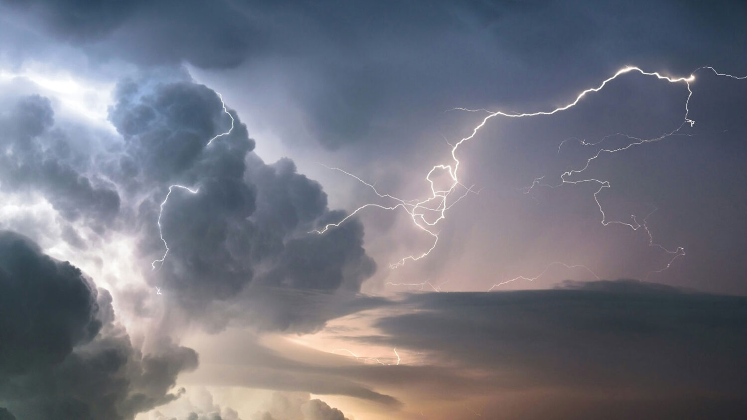 Thunderstorms with potential to produce flash flooding expected in Phoenix area this week
A major weather disturbance could bring multiple rounds of rain to the Valley on Wednesday and Thursday. The Phoenix forecast calls for thunderstorms Wednesday and Thursday. (Unsplash stock image) A major weather…
- San Diego Weather Forecast: Sunny Monday, Stormy Midweek
A Beach Hazards Statement remains in effect for San Diego County coastal areas through Tuesday morning. The National Weather Service says surf will run 3 to 6 feet, with local sets reaching 7 feet, especially along…
- Brewing nor’easter to stir up days of trouble for the Outer Banks and Mid-Atlantic
By Meteorologists Mary Gilbert, Tyler Ory, CNN (CNN) — Strong winds, pounding seas and coastal flood threats will be near-constant companions for parts of North Carolina up through the Chesapeake Bay area this weekend…
-
 Arizona Snowbowl starts snowmaking: Here’s what it means for Flagstaff
Arizona Snowbowl turned on its snowmakers for the first time this season as light snow held on across the San Francisco Peaks. Snow remains most visible on the mountain’s shaded west side, while sunnier slopes have only…
-
 Springfield plant owners brace for over 50-degree temperature drop in the upcoming weekend
WFSB Springfield plant owners brace for over 50-degree temperature drop in the upcoming weekend How an audible led to Mesa high school quarterback kicked off team FACT CHECK: Yes, NC election workers can write on…
-
 NOAA mapping shows part of Colorado got 24″ of snow this week
As expected, a good amount of snow has hit Colorado this week in what’s being called the first impactful storm of the season in terms of building snowpack. Totals on most high-elevation stretches around the state over…
-
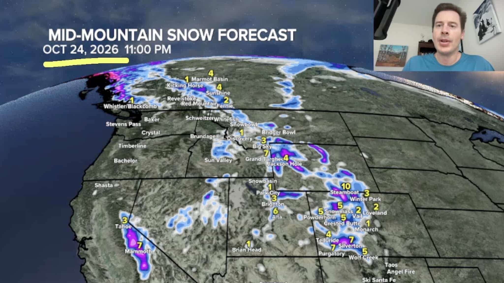 Sierra Nevada, Colorado, and Wyoming Could See A Lot More Snow Next Week
The Sierra Nevada is positioned to receive some of the highest snowfall totals in Tomer’s latest forecast. The incoming storm is expected to dig south into California, generating snowfall across the High Sierra. Tomer…
-
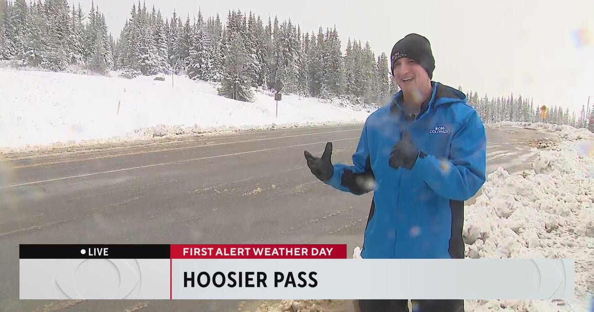 Wintery weather comes to the Colorado High Country
CBS News Wintery weather comes to the Colorado High Country Aurora Water managers welcome rain, but more importantly snow in the mountains 20th anniversary production of "Jersey Boys" headed to Denver Colorado nonprofit…
-
 Strong storm system headed to Arizona — here's when it'll hit
AZ Family Strong storm system headed to Arizona — here's when it'll hit How much rain could Phoenix get? Here’s the latest forecast Heavy rain, strong storms across Phoenix area expected later this week Sunny, warm…
Air quality
Air quality is satisfactory, and air pollution poses little or no risk.
Salt River Pima-Maricopa Indian Community, AZ reporting area · 1 hr ago. Data from AirNow (EPA and its state, local and tribal partners); preliminary and subject to change.
Sun & moon
Almanac
MonthlyMormon Flat, records since 1923. Normals 1991–2020. Data from NOAA's Regional Climate Centers (ACIS).
Nearby
- Phoenix 49 km
- Mesa 25 km
- Chandler 30 km
- Gilbert 23 km
- Scottsdale 34 km
- Tempe 33 km
- Tempe Junction 37 km
- San Tan Valley 25 km
- Queen Creek 20 km
- Florence 45 km
- Fountain Hills 27 km
- Sun Lakes 38 km
Forecasters' discussion
From the National Weather Service office in PSR, issued 6 hrs ago
Update
12Z Aviation Discussion
Key Messages
- A Pacific low pressure system will bring multiple rounds of showers and thunderstorms, mainly across central and eastern Arizona, Wednesday and Thursday.
- A Flood Watch is in effect across much of south-central and eastern Arizona from Wednesday afternoon through Thursday evening for periods of moderate to heavy rainfall leading to flash flooding.
- Quieter weather is expected beginning Friday and lasting through the upcoming weekend.
- Temperatures through Wednesday will be near to slightly above normal before cooling to below normal levels takes place by the end of the week and lasts through the weekend.
Aviation
Updated at 1121Z.
South Central Arizona including KPHX, KIWA, KSDL, and KDVT: The main aviation concern will be SHRA/TSRA as early as late tonight and into Wednesday morning. Showers and thunderstorms will continue to pose a threat throughout the later portion of the current TAF period and subsequent packages. Currently models are pointing towards VCSH developing late tonight, with uncertainties of direct impacts, hence the introduction of a PROB30 for light thunderstorms. Winds will continue to be out of the east this morning then a prolonged period of southerly flow this afternoon. Periods of VRB can yet again be expected by the evening hours heading into the overnight period ahead and during any storm activity. Wind speeds are expected to be aob 10kts through most of the TAF period but with any thunderstorms gusts in the mid teens may be possible. FEW-SCT cloud decks will be common through the beginning of the forecast window with the lowest bases around 6-8 kft with increasing coverage near the latter half of the period to BKN-OVC as storms develop.
Southeast California/Southwest Arizona including KIPL and KBLH: No aviation concerns are expected over the next 24 hours. Light westerly to VRB winds at KIPL will persist through the morning expected to turn out of the SE by 18Z today. At KBLH VRB winds will continue through the morning before shifting out of the south teetering between SSW and SSE before establishing out of the SW near 03Z this evening. Clear skies will give way to increasing low and mid-level cloud decks later this morning with the lowest bases around 7-9 kft .
Fire Weather
Wind speeds today will generally remain light with limited afternoon gustiness before increasing towards the middle of the week ahead of an approaching weather system. Mainly dry conditions will prevail today before rain chances increase substantially Wednesday and Thursday with significant rainfall amounts, in excess of 1.00", likely across the higher terrain areas of the eastern districts. MinRHs today will range between 30-50% before increasing above 50-60% across the eastern districts Wednesday and Thursday along with good to excellent overnight recoveries. Temperatures will be in a near normal range during the next couple of days before falling into a below normal category by the end of the week and lasting through the weekend.
Forecasts, observations and alerts in the United States come from the National Weather Service (NOAA); radar from NOAA's Multi-Radar Multi-Sensor system; satellite imagery from NASA's Global Imagery Browse Services (GIBS) and NOAA's GOES satellites; the map from the U.S. Geological Survey's National Map; air quality from AirNow (EPA and its partners); hurricane information from the National Hurricane Center; climate normals and records from NOAA's Regional Climate Centers (ACIS). Forecasts outside the United States and the UV index: MET Norway (CC BY 4.0); observations outside the U.S.: airport reports via NOAA's Aviation Weather Center. Place names: GeoNames (CC BY 4.0). Data are copied on a schedule and may lag the sources; for warnings that affect your safety, follow your local National Weather Service office and emergency officials. Weather news is drawn from the 4Search index and reflects what the press published. Terms of use.