Install
Maricopa, AZ Weather
Current conditions
Observed at Ak-Chin Regional Airport · 54 min ago
Forecast
10-day-
Wednesday
A slight chance of showers and thunderstorms between 7am and 1pm, then a chance of showers and thunderstorms between 1pm and 2pm, then a chance of showers and thunderstorms. Mostly cloudy. High near 90, with temperatures falling to around 86 in the afternoon. East southeast wind around 5 mph. Chance of precipitation is 50%. New rainfall amounts between a tenth and quarter of an inch possible.
-
Wednesday Night
A chance of showers and thunderstorms before 8pm, then a chance of showers and thunderstorms between 8pm and 11pm, then a chance of showers and thunderstorms between 11pm and midnight, then showers and thunderstorms likely. Mostly cloudy. Low around 70, with temperatures rising to around 72 overnight. East wind 0 to 5 mph. Chance of precipitation is 70%. New rainfall amounts between a quarter and half of an inch possible.
-
Thursday
Showers and thunderstorms likely before 11am, then a chance of showers and thunderstorms between 11am and 5pm. Partly sunny, with a high near 85. South southeast wind 5 to 15 mph, with gusts as high as 25 mph. Chance of precipitation is 70%. New rainfall amounts between a tenth and quarter of an inch possible.
National Weather Service forecast updated 19 hrs ago.
Hourly
Hourly forecast- Now82°23%
- 12 PM85°15%
- 1 PM86°30%
- 2 PM86°11%
- 3 PM87°34%
- 4 PM85°50%
- 5 PM85°60%
- 6 PM83°60%
- 7 PM80°60%
- 8 PM78°60%
- 9 PM77°60%
- 10 PM76°60%
- 11 PM75°82%
- Thu12 AM74°82%
- 1 AM74°82%
- 2 AM73°82%
- 3 AM72°82%
- 4 AM71°82%
- 5 AM71°67%
- 6 AM70°67%
- 7 AM70°67%
- 8 AM71°67%
- 9 AM74°67%
- 10 AM76°67%
Daily forecast
Details- TonightOct 20Slight Chance Showers And Thunderstorms then Chance Showers And Thunderstorms33%71°
- TodayOct 21Slight Chance Showers And Thunderstorms74%70°90°
- ThuOct 22Showers And Thunderstorms Likely then Chance Showers And Thunderstorms67%62°85°
- FriOct 23Sunny61°79°
- SatOct 24Sunny59°79°
- SunOct 25Sunny61°81°
- MonOct 26Mostly Sunny62°85°
- TueOct 27Sunny11%84°
- WedOct 28Cloudy67°91°
Days after the National Weather Service's seven are MET Norway's outlook, a computer model with no forecaster's review.
Radar
Full mapWeather news near Maricopa
More weather news- Brewing nor’easter to stir up days of trouble for the Outer Banks and Mid-Atlantic
By Meteorologists Mary Gilbert, Tyler Ory, CNN (CNN) — Strong winds, pounding seas and coastal flood threats will be near-constant companions for parts of North Carolina up through the Chesapeake Bay area this weekend…
- Phoenix Weather Windy Saturday Rain Chances Cooler Midweek
Before sunrise Saturday, mostly cloudy skies and strong easterly winds were already pushing across the Valley. The city is headed for a high near 81, with a slight chance of rain arriving late in the afternoon. East…
- Phoenix Wind Advisory Brings Dusty Friday Before Weekend Cooling
The advisory runs from 8 a.m. to 3 p.m. Friday, with east winds of 15 to 25 mph and gusts reaching 35 to 45 mph expected, according to the National Weather Service. The Phoenix area should reach about 89 degrees…
- Phoenix Weather Sunny Thursday Windy Friday
The distinction matters because the National Weather Service describes haboobs as dust storms driven by thunderstorm outflow winds. Friday’s forecast calls for strong east winds; it does not establish that a haboob is…
-
 MOST ACCURATE FORECAST: Big cool-down across Arizona!
PHOENIX — Our latest fall storm system brought rounds of rain over the past couple of days. A few showers and isolated storms linger in northeast Arizona this morning before ending by sunset. The rest of the state is…
-
 Phoenix-area farmers say recent rain disrupted planting season
LAVEEN, AZ (AZFamily) — Some Valley farmers said the recent rain came at a bad time for their fall planting season. “Our big specialty crops are peaches and sweet corn and tomatoes,” Eric Amadio said. “Right now we’re…
-
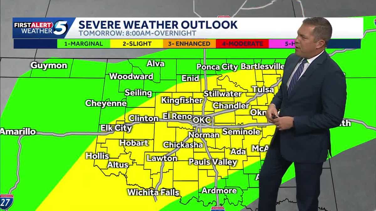 TIMELINE: Oklahoma to see more waves of severe storms with tornado threat Wednesday
More waves of severe storms are headed for Oklahoma Wednesday, with tornado and hail threats and several inches of rain possible. Severe thunderstorms moved into Oklahoma on Tuesday evening, but chances for severe…
-
 RAINFALL TOTALS: Recent storms brought nearly an inch of rain to some Valley cities
PHOENIX — A slow-moving fall storm system has brought several rounds of rain to the Valley since Saturday, and some neighborhoods picked up impressive totals. Looking at data spanning the last 7 days, Cave Creek leads…
-
 Comfortable conditions spread across South Florida before storm chances return later this week
It was a comfortable start to the day across South Florida, and we'll continue to enjoy cooler temperatures and lower humidity until storm changes return later this week. CBS News Miami NEXT Weather meteorologist…
-
 History shows October storms can hit Arizona hard
KOLN | Nebraska Local News, Weather, Sports | Lincoln, NE History shows October storms can hit Arizona hard Vice President J.D. Vance has not yet arrived in North Platte, but his planned visit is already filling area…
Air quality
Air quality is satisfactory, and air pollution poses little or no risk.
Gila River Indian Community, AZ reporting area · 1 hr ago. Data from AirNow (EPA and its state, local and tribal partners); preliminary and subject to change.
Sun & moon
Nearby
- Phoenix 43 km
- Mesa 46 km
- Chandler 34 km
- Gilbert 41 km
- Glendale 55 km
- Scottsdale 52 km
- Tempe 42 km
- Tempe Junction 41 km
- San Tan Valley 51 km
- Avondale 51 km
- Goodyear 51 km
- Casa Grande 34 km
Forecasters' discussion
From the National Weather Service office in PSR, issued 6 hrs ago
Update
Updated 12Z Aviation Discussion.
Key Messages
- A strong low pressure system is expected to bring multiple rounds of showers and thunderstorms through Thursday across much of central and eastern Arizona.
- Moderate to heavy rainfall activity leading to areas of flash flooding as well as isolated to widely scattered strong to severe thunderstorms leading to damaging wind gusts, large hail, and even a few isolated tornadoes are all possible.
- Drier air filtering into the region by the end of the week will lead to more benign weather conditions during the weekend through at least early next week.
- Near normal temperatures today will cool to below normal levels by the latter half of the week and last through the weekend.
Aviation
Updated at 1203Z.
South Central Arizona including KPHX, KIWA, KSDL, and KDVT: Rounds of isolated to scattered strong thunderstorms with heavy rain leading to sub-VFR VIS, brief strong and erratic wind gusts, isolated large hail, and low CIGs will be possible today through at least Thursday morning. Confidence in timing out best chances RA/TS is moderate, as isolated RA/TS may develop at any time. An increase in activity is expected going into this afternoon and then there may be a break this evening/early tonight before another round develops later tonight-Thursday morning. A downtrend in activity is expected by Thursday evening. Winds will favor a light easterly component through most of the TAF period, with periods of southerly winds during showers and storms. Lowest CIGs today are expected around 5-7K ft AGL and then may dip to 3-5K ft Thursday morning with showers and storms.
Southeast California/Southwest Arizona including KIPL and KBLH: No major aviation concerns are expected during the TAF period. Outside of extended periods of VRB conditions, S'rly flow will be favored at KBLH, with some gusts upwards of 20-25 kt during the afternoon hours, while winds at KIPL will take on familiar diurnal trends, flipping between SE and W. FEW-SCT skies will be common through Wednesday evening, with the lowest bases around 6-7 kft.
Fire Weather
A low pressure system will bring very active weather conditions across much of central and eastern AZ through Thursday as multiple rounds of showers and thunderstorms are expected. Significant rainfall activity is likely in some areas, particularly across the higher terrain areas of the eastern districts where rainfall amounts in excess of 1-2" are possible. MinRHs through Thursday will range between 30-40% across the western districts and between 40-70% across the eastern districts along with good to excellent overnight recoveries. Some gusty winds with peak gusts upwards of 25-30 mph are likely this afternoon and once again on Thursday across the western districts. Much quieter conditions are expected starting Friday along with a decrease in humidity values. Near normal temperatures today will cool into a below normal category starting Thursday and lasting through the weekend.
Forecasts, observations and alerts in the United States come from the National Weather Service (NOAA); radar from NOAA's Multi-Radar Multi-Sensor system; satellite imagery from NASA's Global Imagery Browse Services (GIBS) and NOAA's GOES satellites; the map from the U.S. Geological Survey's National Map; air quality from AirNow (EPA and its partners); hurricane information from the National Hurricane Center; climate normals and records from NOAA's Regional Climate Centers (ACIS). Forecasts outside the United States and the UV index: MET Norway (CC BY 4.0); observations outside the U.S.: airport reports via NOAA's Aviation Weather Center. Place names: GeoNames (CC BY 4.0). Data are copied on a schedule and may lag the sources; for warnings that affect your safety, follow your local National Weather Service office and emergency officials. Weather news is drawn from the 4Search index and reflects what the press published. Terms of use.