Install
Lavaca, AR Weather
Current conditions
Forecast for this hour (no station report in the last two hours)
Forecast
10-day-
Friday
Sunny, with a high near 82. East wind around 5 mph.
-
Friday Night
Partly cloudy, with a low around 53. East wind around 5 mph.
-
Saturday
Mostly sunny, with a high near 82. East wind around 5 mph.
National Weather Service forecast updated 20 hrs ago.
Hourly
Hourly forecast- Now80°
- 4 PM82°
- 5 PM80°
- 6 PM78°
- 7 PM74°
- 8 PM68°
- 9 PM66°
- 10 PM64°
- 11 PM62°
- Sat12 AM60°
- 1 AM59°
- 2 AM57°
- 3 AM56°
- 4 AM56°
- 5 AM54°
- 6 AM54°
- 7 AM54°
- 8 AM53°
- 9 AM58°
- 10 AM65°
- 11 AM70°
- 12 PM75°
- 1 PM78°
- 2 PM81°
10-day forecast
Details- TonightOct 22Mostly Clear52°
- TodayOct 23Sunny53°82°
- SatOct 24Mostly Sunny55°82°
- SunOct 25Partly Sunny53°80°
- MonOct 26Partly Sunny54°79°
- TueOct 27Partly Sunny53°78°
- WedOct 28Sunny52°78°
- ThuOct 29Mostly Sunny79°
- FriOct 30Rain1.01 in61°70°
- SatOct 31Rain0.19 in58°67°
Days after the National Weather Service's seven are MET Norway's outlook, a computer model with no forecaster's review.
Radar
Full mapWeather news in Arkansas
More weather news-
 Drought threatens Arkansas duck season, AGFC warns
K8 News | Jonesboro, Arkansas Drought threatens Arkansas duck season, AGFC warns Valley View volleyball moves to 28-2, wins a share of the 5A East title AAA: Arkansas motorists see another drop at the pump A-State…
-
 Northeast Arkansas Weather Update for October 21
| Live Stream | kjnbtv.com kjnbtv.com Mostly clear with a high of 76° and a low of 50°. - Jonesboro Veterans Day Parade seeks participants for America's 250th anniversary - Delta Symphony Orchestra to perform Pirates…
-
 Arkansas Storm Team Forecast: Still no rain in sight
While temperatures will steadily return to the 80s this week in Arkansas, rain chances won’t return in this forecast. That means the wildfire danger persists. Tuesday, October 20, expect partly to mostly sunny skies…
-
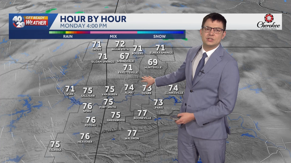 Seasonally warm to start the work week in Arkansas
Morning lows will remain in the 40s over the next few days. Afternoon highs will start to warm back into the 70s early in the work week. High temperatures will warm back into the 80s later in the week. Watch the…
-
 Trains cancelled and roads warnings as Scotland prepares for Storm Boelo
Some train services will be cancelled during Storm Boelo Train services have been cancelled and police have warned against unnecessary road journeys as Scotland prepares for the arrival of Storm Boelo. Heavy rain and…
-
 Vance could be a major Category 3 hurricane Friday as it nears Mexico
Vance has become a hurricane off the coast of Mexico MIAMI — Vance became a hurricane Friday and the National Hurricane Center said it would strengthen rapidly as it nears Mexico’s Pacific Coast. Vance was a Category 1…
-
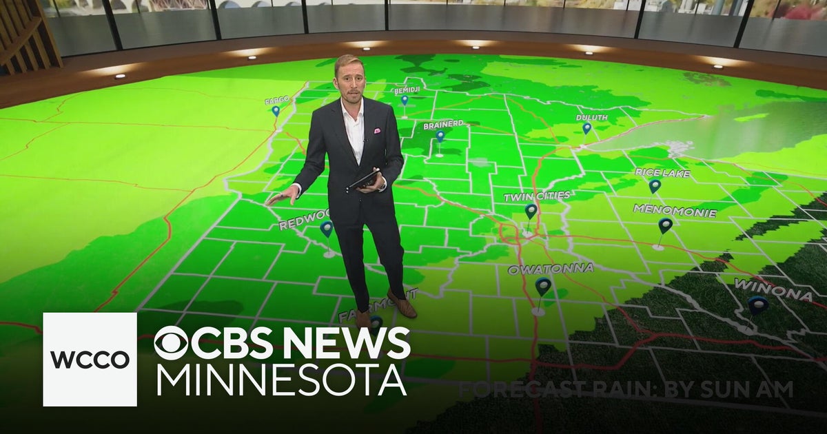 Minnesota's weather is about to pivot back to fall | Oct. 23, 2026
CBS News Minnesota is a local news organization that is part of CBS News and Stations. Also referred to as WCCO-TV and channel 4, CBS News Minnesota offers local breaking news, weather coverage and investigative…
-
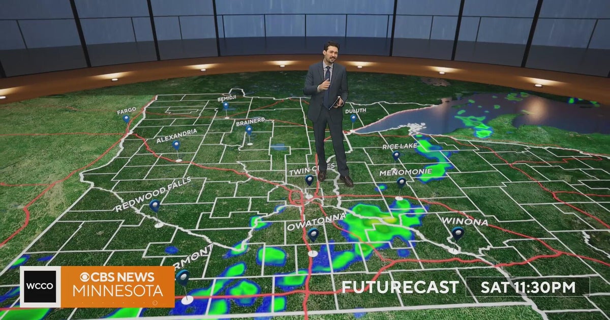 Minnesota weather turns cooler after a Saturday cold front brings light showers | Oct. 23, 2026
Rain chances improve Saturday afternoon and evening, with amounts under a tenth of an inch and gusts near 30 mph. Highs reach the 70s ahead of the front, then fall to the mid 50s Sunday, WCCO meteorologist Joseph Dames…
-
 BBC Audio | What in the World | Five ways El Niño is affecting weather around the world
El Niño has been strengthening for several months now and is already having a significant impact on global weather patterns. Countries including Indonesia, India and the United States have been experiencing droughts…
-
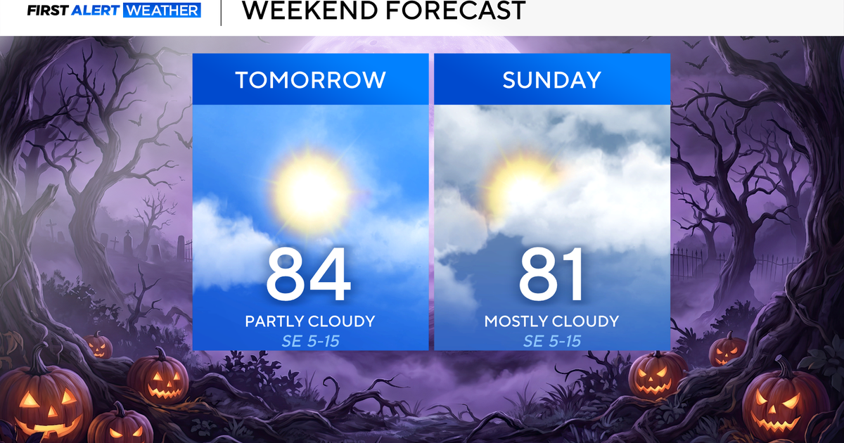 Clouds build in over the weekend as temperatures stay above average in the 80s across North Texas
October 23, 2026 / 8:00 AM CDT / CBS Texas North Texans are waking up to temperatures mainly in the 50s and 60s on Friday morning, with some clouds across portions of the area. In the afternoon and into the weekend…
Air quality
Acceptable. Unusually sensitive people should consider limiting prolonged outdoor exertion.
Roland, OK reporting area · 1 hr ago. Data from AirNow (EPA and its state, local and tribal partners); preliminary and subject to change.
Sun & moon
Almanac
MonthlyFort Smith Area, records since 1882. Normals 1991–2020. Data from NOAA's Regional Climate Centers (ACIS).
Nearby
Forecasters' discussion
From the National Weather Service office in TSA, issued 3 hrs ago
Key Messages
Updated at 1128 AM CDT Fri Oct 23 2026
- Locally enhanced grassland fire spread rates possible west of Highway 75 in NE OK this afternoon.
- Above average high temperatures and predominantly dry weather will continue through early next week.
- Higher rain chances may return by mid-late next week.
Short Term
(Through tonight ) Issued at 1128 AM CDT Fri Oct 23 2026
It is another abnormally warm fall day across the region with an upper level ridge sitting over the Southern Plains. High temperatures should be comparable to yesterday, though high clouds will tend to be more common. Locally enhanced grassland fire spread rates are forecast across parts of Osage and Pawnee counties this afternoon given the well above average temperatures, low min RH values, and breezier afternoon winds today (10-20 mph, gusting to 25 mph NW of I-44). Quiet conditions persist overnight with lows in the upper 40s and lower 50s (slightly colder for typical sheltered valleys).
Long Term
(Tomorrow through Friday) Issued at 1128 AM CDT Fri Oct 23 2026
Ridging keeps the weather warm and dry through this weekend, though high level cloudiness will continue to stream overhead. Upper level troughing, currently over S California, will gradually transition into a cutoff low and move east this weekend. This feature will eventually eject northeast into the C/N Plains Monday into Tuesday. The vast majority of rainfall associated with this system is still expected to remain west and north of our area, but a few light showers are plausible in Osage/Pawnee counties Monday-early Tuesday despite the dry low level airmass. Most guidance agrees that the cold front early next week will now remain just to our north, with less of a cool down expected Tuesday.
By mid to late week, a shortwave will advance across the N Plains and send a stronger cold front towards the CWA. Model spread is higher by this point, but if this front manages to make it into the area then higher rain potential and cooler temperatures would likely result. Until then, warm and predominantly dry conditions will persist.
Aviation
(12Z TAFS) Issued at 441 AM CDT Fri Oct 23 2026
VFR conditions will continue through the period with passing high clouds. Southerly sfc winds should remain below impactful levels.
Lacy
Forecasts, observations and alerts in the United States come from the National Weather Service (NOAA); radar from NOAA's Multi-Radar Multi-Sensor system; satellite imagery from NASA's Global Imagery Browse Services (GIBS) and NOAA's GOES satellites; the map from the U.S. Geological Survey's National Map; air quality from AirNow (EPA and its partners); hurricane information from the National Hurricane Center; climate normals and records from NOAA's Regional Climate Centers (ACIS). Forecasts outside the United States and the UV index: MET Norway (CC BY 4.0); observations outside the U.S.: airport reports via NOAA's Aviation Weather Center. Place names: GeoNames (CC BY 4.0). Data are copied on a schedule and may lag the sources; for warnings that affect your safety, follow your local National Weather Service office and emergency officials. Weather news is drawn from the 4Search index and reflects what the press published. Terms of use.