Install
Roland, OK Weather
Current conditions
Observed at Sallisaw, Sallisaw Municipal Airport · 1 hr ago
Forecast
10-day-
Friday
Sunny, with a high near 79. East wind around 5 mph.
-
Friday Night
Partly cloudy, with a low around 56. East wind around 5 mph.
-
Saturday
Mostly sunny, with a high near 80. Southeast wind 5 to 10 mph.
National Weather Service forecast updated 3 days ago.
Hourly
Hourly forecast- Now79°
- 4 PM79°
- 5 PM77°
- 6 PM75°
- 7 PM71°
- 8 PM69°
- 9 PM68°
- 10 PM66°
- 11 PM65°
- Sat12 AM63°
- 1 AM62°
- 2 AM61°
- 3 AM59°
- 4 AM58°
- 5 AM57°
- 6 AM56°
- 7 AM56°
- 8 AM58°
- 9 AM60°
- 10 AM64°
- 11 AM68°
- 12 PM72°
- 1 PM76°
- 2 PM78°
Daily forecast
Details- TueOct 20Sunny52°75°
- WedOct 21Sunny then Chance Rain Showers54°79°
- ThuOct 22Sunny55°81°
- TodayOct 23Sunny56°79°
- SatOct 24Mostly Sunny58°80°
- SunOct 25Partly Sunny57°79°
- MonOct 26Mostly Sunny57°79°
- TueOct 27Cloudy50°69°
- WedOct 28Sunny44°64°
Days after the National Weather Service's seven are MET Norway's outlook, a computer model with no forecaster's review.
Radar
Full mapWeather news near Roland
More weather news-
 How will El Nino in the Pacific impact Maryland's winter?
CBS News How will El Nino in the Pacific impact Maryland's winter? UMD tennis club issues public apology following backlash over racist imagery Rain and storms roll into Maryland to begin the weekend Jury deliberates…
-
 Rain and storms roll into Maryland to begin the weekend
CBS News Rain and storms roll into Maryland to begin the weekend UMD tennis club issues public apology following backlash over racist imagery Jury deliberates for 2nd day in Baltimore rowhome fire Ravens' Devontez…
-
 Drought Improves for Much of Oklahoma
TULSA, Okla. — Since mid-summer, Oklahoma has quickly fallen into drought. The Drought Monitor, released each Thursday by the scientists with the University of Nebraska at Lincoln, shows improvement for much of the…
-
 Orionid meteor shower peaks over Oklahoma Wednesday night into Thursday morning
Oklahomans can expect a celestial event Wednesday night with the Orionid meteor shower peaking overnight into Thursday morning. KOCO 5 Meteorologist Mikayla Smith talks about when the best time to view the meteors will…
-
 Southern Plains Weather Shift Brings Drought Relief, Winter Forecast Challenges for Oklahoma Ranchers and Farmers
Daily Email For October 21st 2026 National Dairy FARM Program Announces 2026 Excellence Awards Winners While recent storms brought drought-breaking downpours across the Southern Plains, Merrill emphasized that the…
- Oklahoma's holiday weather forecast: What to expect Halloween to Christmas
Oklahomans are soon entering the holiday season, and temperatures have already started to drop. If you need to plan your Halloween costume based on the weather, or figure out how to best prepare for Thanksgiving…
-
 Temperate, wet winter expected for Northwest Oklahoma
People fish at Meadowlake Park on a warm autumn day on Monday, Oct. 19, 2026. ENID, Okla. — Summer has been over for about a month now, and what a summer it was. There were several series of 100-degree temperatures, and…
-
 Heavy rain boosts Oklahoma lake levels but drought concerns remain
Recent rainfall in Oklahoma has improved lake levels and farm ponds, but the state remains in a significant drought and needs more rain for full recovery. Nearly a foot of rain in parts of Oklahoma last week brought…
-
 Oklahoma’s Winter Outlook Is In, And The Almanacs Disagree
We've been hearing about the upcoming winter for months now, with early predictions of a potentially brutal season sending meteorologists down the rabbit hole of what El Niño could mean for Oklahoma. The Farmers'…
-
 TIMELINE: Cool temperatures across Oklahoma before slight warmup
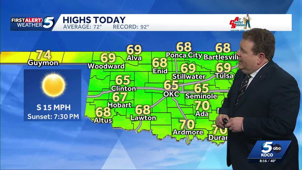
Oklahoma started Sunday with chilly temperatures in the 30s and 40s, but sunny skies and a light south wind are expected to bring highs of 65 degrees. Oklahoma residents experienced a cold start to Sunday, with…
Air quality
Acceptable. Unusually sensitive people should consider limiting prolonged outdoor exertion.
Roland, OK reporting area · 1 hr ago. Data from AirNow (EPA and its state, local and tribal partners); preliminary and subject to change.
Sun & moon
Nearby
Forecasters' discussion
From the National Weather Service office in TSA, issued 3 hrs ago
Key Messages
Updated at 1128 AM CDT Fri Oct 23 2026
- Locally enhanced grassland fire spread rates possible west of Highway 75 in NE OK this afternoon.
- Above average high temperatures and predominantly dry weather will continue through early next week.
- Higher rain chances may return by mid-late next week.
Short Term
(Through tonight ) Issued at 1128 AM CDT Fri Oct 23 2026
It is another abnormally warm fall day across the region with an upper level ridge sitting over the Southern Plains. High temperatures should be comparable to yesterday, though high clouds will tend to be more common. Locally enhanced grassland fire spread rates are forecast across parts of Osage and Pawnee counties this afternoon given the well above average temperatures, low min RH values, and breezier afternoon winds today (10-20 mph, gusting to 25 mph NW of I-44). Quiet conditions persist overnight with lows in the upper 40s and lower 50s (slightly colder for typical sheltered valleys).
Long Term
(Tomorrow through Friday) Issued at 1128 AM CDT Fri Oct 23 2026
Ridging keeps the weather warm and dry through this weekend, though high level cloudiness will continue to stream overhead. Upper level troughing, currently over S California, will gradually transition into a cutoff low and move east this weekend. This feature will eventually eject northeast into the C/N Plains Monday into Tuesday. The vast majority of rainfall associated with this system is still expected to remain west and north of our area, but a few light showers are plausible in Osage/Pawnee counties Monday-early Tuesday despite the dry low level airmass. Most guidance agrees that the cold front early next week will now remain just to our north, with less of a cool down expected Tuesday.
By mid to late week, a shortwave will advance across the N Plains and send a stronger cold front towards the CWA. Model spread is higher by this point, but if this front manages to make it into the area then higher rain potential and cooler temperatures would likely result. Until then, warm and predominantly dry conditions will persist.
Aviation
(12Z TAFS) Issued at 441 AM CDT Fri Oct 23 2026
VFR conditions will continue through the period with passing high clouds. Southerly sfc winds should remain below impactful levels.
Lacy
Forecasts, observations and alerts in the United States come from the National Weather Service (NOAA); radar from NOAA's Multi-Radar Multi-Sensor system; satellite imagery from NASA's Global Imagery Browse Services (GIBS) and NOAA's GOES satellites; the map from the U.S. Geological Survey's National Map; air quality from AirNow (EPA and its partners); hurricane information from the National Hurricane Center; climate normals and records from NOAA's Regional Climate Centers (ACIS). Forecasts outside the United States and the UV index: MET Norway (CC BY 4.0); observations outside the U.S.: airport reports via NOAA's Aviation Weather Center. Place names: GeoNames (CC BY 4.0). Data are copied on a schedule and may lag the sources; for warnings that affect your safety, follow your local National Weather Service office and emergency officials. Weather news is drawn from the 4Search index and reflects what the press published. Terms of use.