Install
Fort Smith, AR Weather
Current conditions
Forecast for this hour (no station report in the last two hours)
Forecast
10-day-
Tonight
Mostly clear, with a low around 56. East wind 0 to 5 mph.
-
Friday
Sunny, with a high near 82. East wind around 5 mph.
-
Friday Night
Partly cloudy, with a low around 56. East wind around 5 mph.
National Weather Service forecast updated 3 hrs ago.
Hourly
Hourly forecast- Now80°
- 7 PM76°
- 8 PM72°
- 9 PM69°
- 10 PM66°
- 11 PM64°
- Fri12 AM62°
- 1 AM61°
- 2 AM60°
- 3 AM59°
- 4 AM58°
- 5 AM57°
- 6 AM56°
- 7 AM56°
- 8 AM56°
- 9 AM59°
- 10 AM64°
- 11 AM69°
- 12 PM74°
- 1 PM77°
- 2 PM79°
- 3 PM80°
- 4 PM81°
- 5 PM82°
10-day forecast
Details- TodayOct 22Sunny56°83°
- FriOct 23Sunny56°82°
- SatOct 24Mostly Sunny58°82°
- SunOct 25Partly Sunny58°80°
- MonOct 26Partly Sunny58°79°
- TueOct 27Partly Sunny56°77°
- WedOct 28Sunny56°78°
- ThuOct 29Partly cloudy53°69°
- FriOct 30Cloudy46°65°
- SatOct 31Rain0.17 in50°69°
Days after the National Weather Service's seven are MET Norway's outlook, a computer model with no forecaster's review.
Radar
Full mapWeather news in Arkansas
More weather news-
 Northeast Arkansas Weather Update for October 21
| Live Stream | kjnbtv.com kjnbtv.com Mostly clear with a high of 76° and a low of 50°. - Jonesboro Veterans Day Parade seeks participants for America's 250th anniversary - Delta Symphony Orchestra to perform Pirates…
-
 Arkansas Storm Team Forecast: Still no rain in sight
While temperatures will steadily return to the 80s this week in Arkansas, rain chances won’t return in this forecast. That means the wildfire danger persists. Tuesday, October 20, expect partly to mostly sunny skies…
-
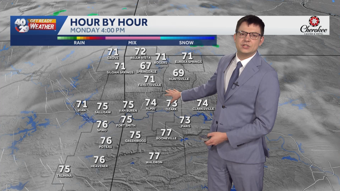 Seasonally warm to start the work week in Arkansas
Morning lows will remain in the 40s over the next few days. Afternoon highs will start to warm back into the 70s early in the work week. High temperatures will warm back into the 80s later in the week. Watch the…
-
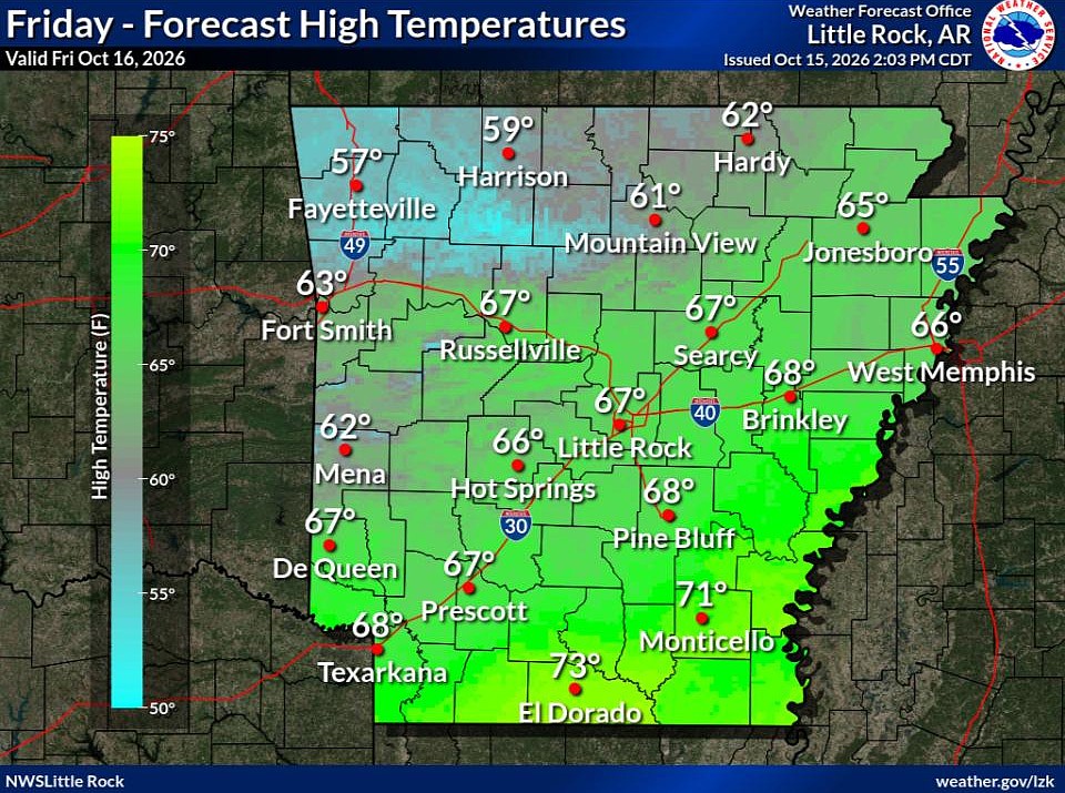 Cold front brings fall temperatures to Arkansas; forecasters warn of continued wildfire risk
The forecast holds good news for those ready for fall in Arkansas. Arkansans should feel some relief from warm temperatures Friday through next week as a cold front has brought cooler temperatures to the state. This…
-
 Northeast Arkansas Weather Update for October 16
| Live Stream | kjnbtv.com kjnbtv.com Cool and breezy Friday with a high of 66° and a low of 46°. A nice weekend is ahead. - Delta Symphony Orchestra to perform Pirates of the Caribbean live in Jonesboro - Jonesboro…
Air quality
Acceptable. Unusually sensitive people should consider limiting prolonged outdoor exertion.
Roland, OK reporting area · 1 hr ago. Data from AirNow (EPA and its state, local and tribal partners); preliminary and subject to change.
Sun & moon
Almanac
MonthlyFort Smith Regional Ap, records since 1945. Normals 1991–2020. Data from NOAA's Regional Climate Centers (ACIS).
Nearby
Forecasters' discussion
From the National Weather Service office in TSA, issued 5 hrs ago
Key Messages
Updated at 1134 AM CDT Thu Oct 22 2026
- Above average highs and dry weather will continue through this weekend.
- Locally enhanced grassland fire spread rates possible northwest of I-44 Friday afternoon.
- Low rain chances return during the first half of next week along with temperatures closer to normal.
Short Term
(Through tonight) Issued at 1134 AM CDT Thu Oct 22 2026
Upper level ridging will continue to strengthen over the region today, providing dry and warm conditions. Mostly clear skies will persist today, though high clouds will tend to increase overnight. Temperatures will likely top out in the upper 70s-lower 80s this afternoon, and fall into the lower 50s or upper 40s tonight. Winds remain light out of the south/southeast.
Long Term
(Tomorrow through Thursday) Issued at 1134 AM CDT Thu Oct 22 2026
High pressure will continue to dominate the forecast with low impact weather likely to persist through this weekend. The only exception may be across NE OK on Friday, where limited fire weather conditions could develop during the afternoon. Winds will be higher Friday, especially along and NW of I-44, and with min RHs in the 25 to 35 percent range, locally enhanced grassland fire spread rates are forecast. Temperatures will remain well above average for the next several days with highs near or above 80 degrees.
By late Sunday, a potent upper low will begin to navigate E-NE out of the desert southwest, eventually moving into the C Plains Monday. This system will interact with a frontal boundary and produce increasing precipitation to our north and west. Some of this may move into at least parts of E OK Monday and Tuesday, but PoPs generally remain less than 20 percent at this time. Models diverge beyond this point and disagree on how to handle the aforementioned frontal boundary. Some solutions indicate the front will push south into the forecast area and help to clear things out, while other solutions keep the boundary to our north. The latest NBM seems to favor the former and brings cooler temperatures into the area Tuesday. Despite higher variability early in the week, guidance does appear to be in reasonable agreement that a strong trough will swing through the C/N Plains Wed-Thu. This would likely send a stronger front into our area with additional rain potential and another chance for cooler temperatures.
Aviation
(18Z TAFS) Issued at 1246 PM CDT Thu Oct 22 2026
VFR conditions are expected through the period. There is a low chance of having short periods of visibility reduction at RVS once again around daybreak tomorrow given light winds. However, confidence is not high enough to include in the TAF at this time. Winds will be light for much of the period, although southerly winds will increase mid to late morning tomorrow, especially at the E OK terminals.
Forecasts, observations and alerts in the United States come from the National Weather Service (NOAA); radar from NOAA's Multi-Radar Multi-Sensor system; satellite imagery from NASA's Global Imagery Browse Services (GIBS) and NOAA's GOES satellites; the map from the U.S. Geological Survey's National Map; air quality from AirNow (EPA and its partners); hurricane information from the National Hurricane Center; climate normals and records from NOAA's Regional Climate Centers (ACIS). Forecasts outside the United States and the UV index: MET Norway (CC BY 4.0); observations outside the U.S.: airport reports via NOAA's Aviation Weather Center. Place names: GeoNames (CC BY 4.0). Data are copied on a schedule and may lag the sources; for warnings that affect your safety, follow your local National Weather Service office and emergency officials. Weather news is drawn from the 4Search index and reflects what the press published. Terms of use.