Install
Ticonderoga, NY 12883 Weather
Current conditions
Observed at Rutland-Southern Vermont Regional Airport · 1 hr ago
Forecast
10-day-
Overnight
Mostly clear, with a low around 32. North wind 5 to 8 mph.
-
Friday
Sunny, with a high near 55. North wind 5 to 9 mph.
-
Friday Night
Partly cloudy, with a low around 22. North wind 0 to 5 mph.
National Weather Service forecast updated 9 hrs ago.
Hourly
Hourly forecast- Now36°
- 4 AM35°
- 5 AM34°
- 6 AM33°
- 7 AM32°
- 8 AM37°
- 9 AM41°
- 10 AM44°
- 11 AM48°
- 12 PM50°
- 1 PM52°
- 2 PM53°
- 3 PM54°
- 4 PM55°
- 5 PM50°
- 6 PM46°
- 7 PM41°
- 8 PM38°
- 9 PM35°
- 10 PM33°
- 11 PM32°
- Sat12 AM30°
- 1 AM29°
- 2 AM28°
10-day forecast
Details- TonightOct 22Mostly Clear32°
- TodayOct 23Sunny22°55°
- SatOct 24Sunny26°60°
- SunOct 25Sunny37°63°
- MonOct 26Mostly Sunny38°63°
- TueOct 27Mostly Sunny30°51°
- WedOct 28Mostly Sunny35°54°
- ThuOct 29Partly Sunny58°
- FriOct 30Cloudy43°63°
- SatOct 31Sunny37°53°
Days after the National Weather Service's seven are MET Norway's outlook, a computer model with no forecaster's review.
Radar
Full mapWeather news in New York
More weather news-
 Dangerous Storm and Gale Warnings Issued for New York, Massachusetts, and the Rest of New England
The nor’easter’s strongest winds are shifting north, with Storm Warnings for waters south of New England, Gale Warnings for Massachusetts and Rhode Island waters, and coastal flooding on Long Island. The storm stays…
-
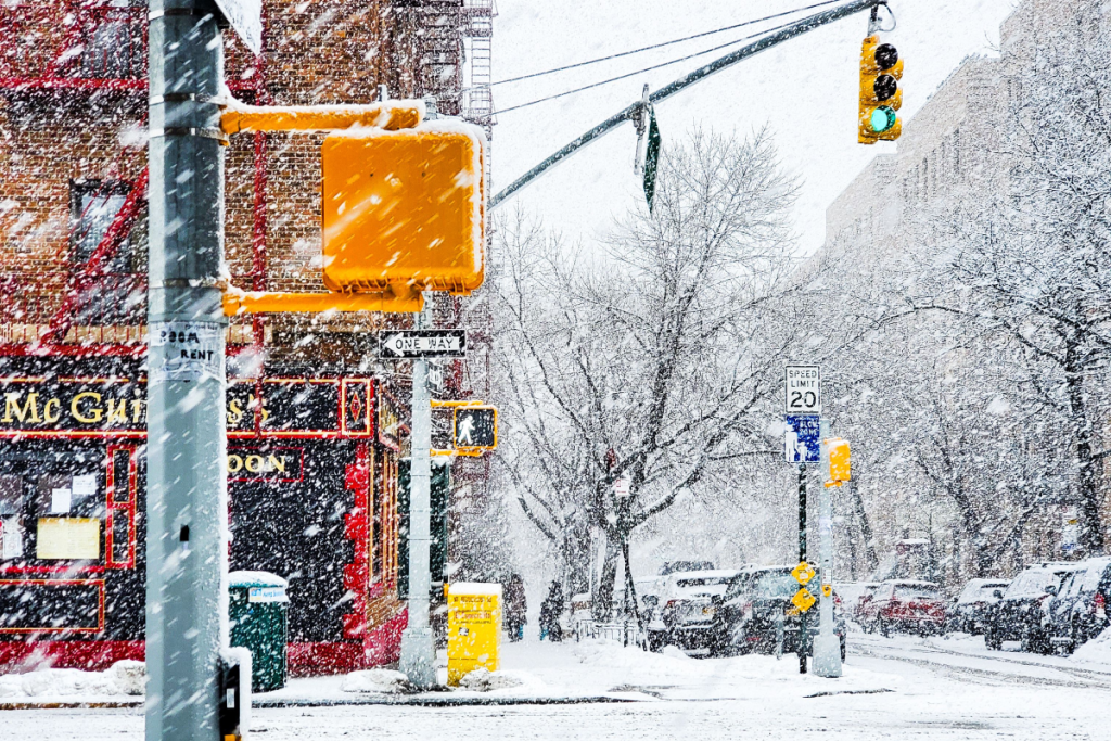 Here’s when New York City could see its first snowflakes of the season
As autumn chill settles over New York City, National Weather Service and NOAA climate data reveal when the five boroughs can expect their first flurries of the 2026 season. After a mild start to fall, recent temperature…
-
 Enjoy beautiful autumn weather in New York with sunny skies and temperatures up to 17°C
The Times of India New York, October 21, 2026 Today's weather is characterized by a mostly sunny and breezy day, marking a pleasant autumn shift in climate The temperature is expected to reach a high of 17°C, while…
-
 Freeze alerts stretch from Missouri to New York for Sunday
Temps drop for millions across the Central Plains, Midwest, Northeast The first real taste of fall is settling in for millions, including a few first frosts and freezes of the season for some in the Midwest and East…
-
 Good Morning, Buffalo: What a super El Niño could mean for Western New York
Oct. 18, 2026 Javascript is required to use this website. Golfers make their way to the next tee in the course at Delaware Park last week. In past El Ãino years, Western New York received much less snow than normal and…
-
 First Alert Weather: Bright sunshine, crisp air for Sunday in New York - 10/17/26
CBS News Detroit Weekend 11pm CBS News Los Angeles Weekend 8pm CBS News Philadelphia Weekend KDKA News Weekend 11pm CBS News Texas Weekend 10pm
-
 First Alert Weather: Clear skies with chilly temps Sunday in New York - 10/17/26
CBS News Bay Area Evening Edition Weekend 6pm CBS News Detroit Weekend 6pm CBS News Los Angeles Weekend 6pm CBS News Philadelphia 7:30pm Health Watch on CBS News Sacramento CBS News Texas Saturday 5pm
-
 Dangerous Freeze Warnings for 7 Counties in New York as Temperatures Plummet
Freeze Warnings take effect tonight across parts of New York, with lows in the upper 20s to around 30 expected from the Hudson Valley to Buffalo. The warnings run into 9 a.m. EDT Sunday. Frost and freeze conditions…
-
 First Alert Weather: Feels like November Saturday in New York - 10/17/26
CBS News Bay Area Morning Edition Weekend 6am WBZ This Morning 8am CBS News Chicago Saturday 8am CBS Colorado Mornings Weekend CBS News Los Angeles Weekend 6am CBS News Miami This Morning 9am WCCO News Saturday Morning…
-
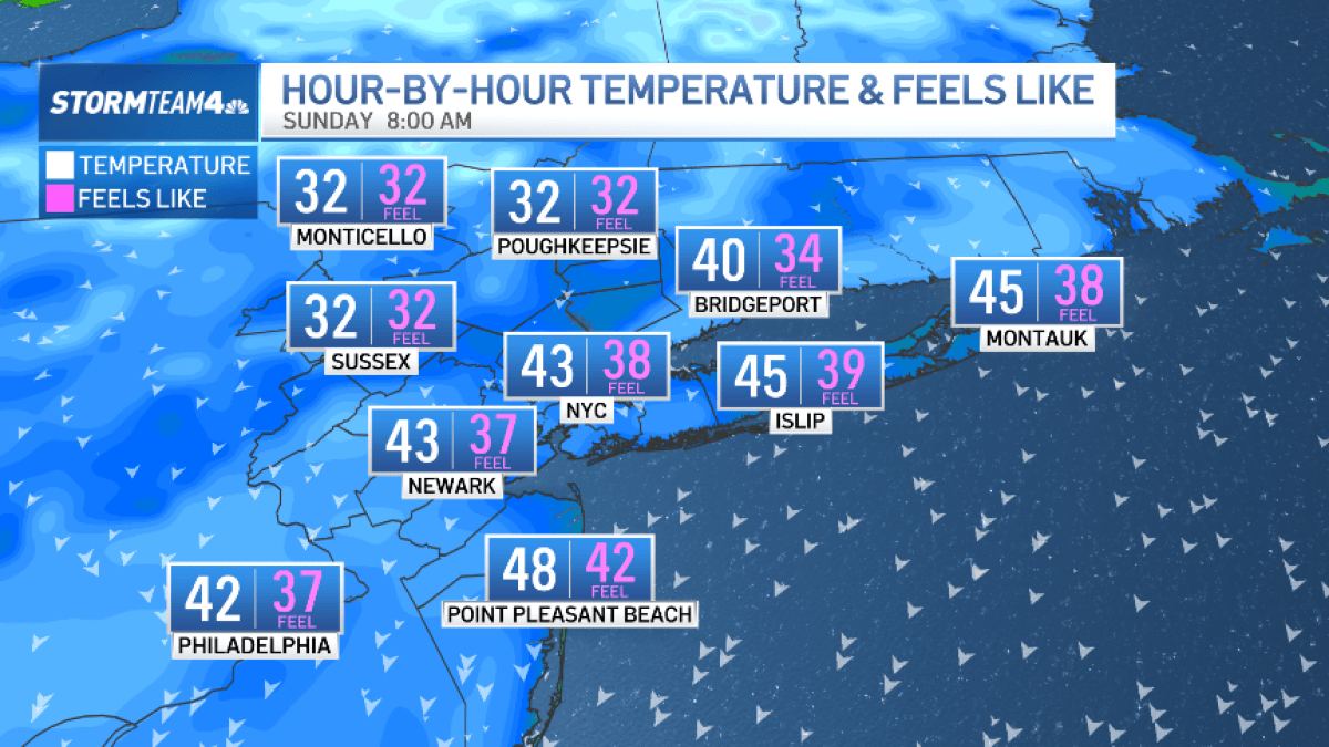 Bundle up! Cold snap hits New York City this weekend
The Friday night severe thunderstorm threat may have passed, but our weekend weather woes are not over quite yet. A surge of much colder air now sweeps across the region. Saturday is forecast to be windy and noticeably…
Air quality
Acceptable. Unusually sensitive people should consider limiting prolonged outdoor exertion.
Forecast
- FriGood (35)
Rutland, VT reporting area · 1 hr ago. Data from AirNow (EPA and its state, local and tribal partners); preliminary and subject to change.
Sun & moon
Almanac
MonthlyCornwall, records since 1894. Normals 1991–2020. Data from NOAA's Regional Climate Centers (ACIS).
Nearby
- Queensbury 54 km
- Rutland 46 km
- Middlebury (village) 29 km
- Hinesburg 60 km
- Charlotte 54 km
- Warrensburg 47 km
- Ferrisburgh 43 km
- Vergennes 39 km
- Whitehall 32 km
- Granville 51 km
- Fair Haven 31 km
- Hartford 54 km
Forecasters' discussion
From the National Weather Service office in BTV, issued 8 hrs ago
What Has Changed
As of 305 PM EDT Thursday...
No significant changes have been made.
Key Messages
As of 305 PM EDT Thursday...
1. Localized gusty north winds this evening will taper off, then dry and seasonable weather with a warming trend will follow through the weekend.
2. Quiet and dry weather is expected to continue into early next week.
Discussion
As of 305 PM EDT Thursday...
KEY MESSAGE 1: Sensible weather will continue to be quite agreeable for outdoor activities. Aside from a ribbon of clouds moving through from north to south this evening, a return to sunny days is expected as high pressure slowly builds in through the weekend. Main impacts for this period will be related to winds this evening on Lake Champlain, and then possible fire weather concerns over the weekend with critically low relative humidity values likely in parts of the region.
A moisture-starved cold front passed through the region today, detached from a ribbon of higher moisture behind it. Satellite imagery shows this cloud cover is tied to a corridor of higher relative humidity in the 925-850 millibar layer, with the air mass above that layer very dry. Hence, north of this region there are just some diurnally driven clouds and we can expect skies in our region to trend clear overnight.
A period of relatively fast pressure rises this evening is expected with accelerated northerly flow through the Champlain Valley as skies clear out again. Roughly between 7 PM and 10 PM we expect the strongest northerly winds in the 20 to 30 knot range on Lake Champlain with similar gusts in the eastern Champlain Valley. Northerly, rather than a more common northwesterly, flow will continue into Friday with a general decay of wind speeds as high pressure builds in.
The lightening wind will lead to a chilly night and have leaned towards colder guidance. At perennial cool spot SLK/Adirondack Regional Airport, a daily minimum temperature is possible (14 degrees). Any passing high clouds should have little affect on surface temperatures during the period. Also, as temperatures moderate aloft, both Saturday and Sunday will feature the return of the typical cold season surface inversion with mountain summits relative mild. Generally Sunday morning looks a bit less cold than Saturday morning as light south winds will interfere with the nocturnal boundary layer.
Forecast soundings through the next three days show very dry air aloft and correspondingly anomalously low precipitable water. While localized low humidity is expected tomorrow, cool northerly advection doesn't favor particularly low surface humidity at the surface. Dew points in the 20s are expected over the next couple of days, and with milder temperatures on Saturday reaching the upper 50s in most locations, this is the day when most locations will likely see their lowest relative humidities. Slight improvement on Sunday is expected with regards to fire weather concerns as some modest moisture advection occurs. Light winds through the weekend should minimize fire spread, however.
Aviation
Through 00Z Saturday...Cloud cover is slowly thinning now that a cold front has shifted south of the region. The layer exists between 4000-7000 ft agl, and will dissipate over the coming 6-9 hours. North winds will remain 5-10 knots for locations unsheltered from winds out of the north, but a few areas like KRUT and KSLK should transition towards light and variable conditions. Flow aloft is somewhat fast, and there could be localized regions that meet LLWS criteria during the next 6 hours, but are not shown explicitly for any terminals. This could also prevent fog from developing, though a brief reduction in visibility towards sunrise is not impossible.
Outlook...
Friday Night: VFR. NO SIG WX. Saturday: VFR. NO SIG WX. Saturday Night: VFR. NO SIG WX. Sunday: VFR. NO SIG WX. Sunday Night: VFR. NO SIG WX. Monday: Mainly VFR, with local MVFR possible. NO SIG WX. Monday Night: VFR. NO SIG WX. Tuesday: VFR. NO SIG WX.
Forecasts, observations and alerts in the United States come from the National Weather Service (NOAA); radar from NOAA's Multi-Radar Multi-Sensor system; satellite imagery from NASA's Global Imagery Browse Services (GIBS) and NOAA's GOES satellites; the map from the U.S. Geological Survey's National Map; air quality from AirNow (EPA and its partners); hurricane information from the National Hurricane Center; climate normals and records from NOAA's Regional Climate Centers (ACIS). Forecasts outside the United States and the UV index: MET Norway (CC BY 4.0); observations outside the U.S.: airport reports via NOAA's Aviation Weather Center. Place names: GeoNames (CC BY 4.0). Data are copied on a schedule and may lag the sources; for warnings that affect your safety, follow your local National Weather Service office and emergency officials. Weather news is drawn from the 4Search index and reflects what the press published. Terms of use.