Install
Whitehall, NY Weather
Current conditions
Observed at Glens Falls, Floyd Bennett Memorial Airport · 56 min ago
Forecast
10-day-
Friday
Sunny, with a high near 53. North wind 6 to 9 mph.
-
Friday Night
Mostly clear, with a low around 26. North wind 0 to 5 mph.
-
Saturday
Sunny, with a high near 57. South wind around 2 mph.
National Weather Service forecast updated 1 day ago.
Hourly
Hourly forecast- Now53°
- 4 PM53°
- 5 PM52°
- 6 PM48°
- 7 PM44°
- 8 PM39°
- 9 PM36°
- 10 PM34°
- 11 PM33°
- Sat12 AM32°
- 1 AM30°
- 2 AM29°
- 3 AM28°
- 4 AM27°
- 5 AM27°
- 6 AM27°
- 7 AM27°
- 8 AM29°
- 9 AM34°
- 10 AM41°
- 11 AM47°
- 12 PM51°
- 1 PM54°
- 2 PM56°
10-day forecast
Details- ThuOct 22Sunny32°59°
- TodayOct 23Sunny26°53°
- SatOct 24Sunny27°57°
- SunOct 25Sunny33°61°
- MonOct 26Mostly Sunny38°63°
- TueOct 27Mostly Sunny30°55°
- WedOct 28Mostly Sunny34°55°
- ThuOct 29Partly cloudy40°62°
- FriOct 30Mostly sunny0.17 in38°54°
- SatOct 31Cloudy36°54°
Days after the National Weather Service's seven are MET Norway's outlook, a computer model with no forecaster's review.
Radar
Full mapWeather news near Whitehall
More weather news-
 Truck traffic raises concerns for proposed Route 309 Wawa
Clouds and an early morning shower, then a little sun and breezy, warm, humid, and mainly dry lull through mid-afternoon. A few gusty storms and downpours with damaging winds will move through the area around 4-7pm…
-
 Dangerous Storm and Gale Warnings Issued for New York, Massachusetts, and the Rest of New England
The nor’easter’s strongest winds are shifting north, with Storm Warnings for waters south of New England, Gale Warnings for Massachusetts and Rhode Island waters, and coastal flooding on Long Island. The storm stays…
-
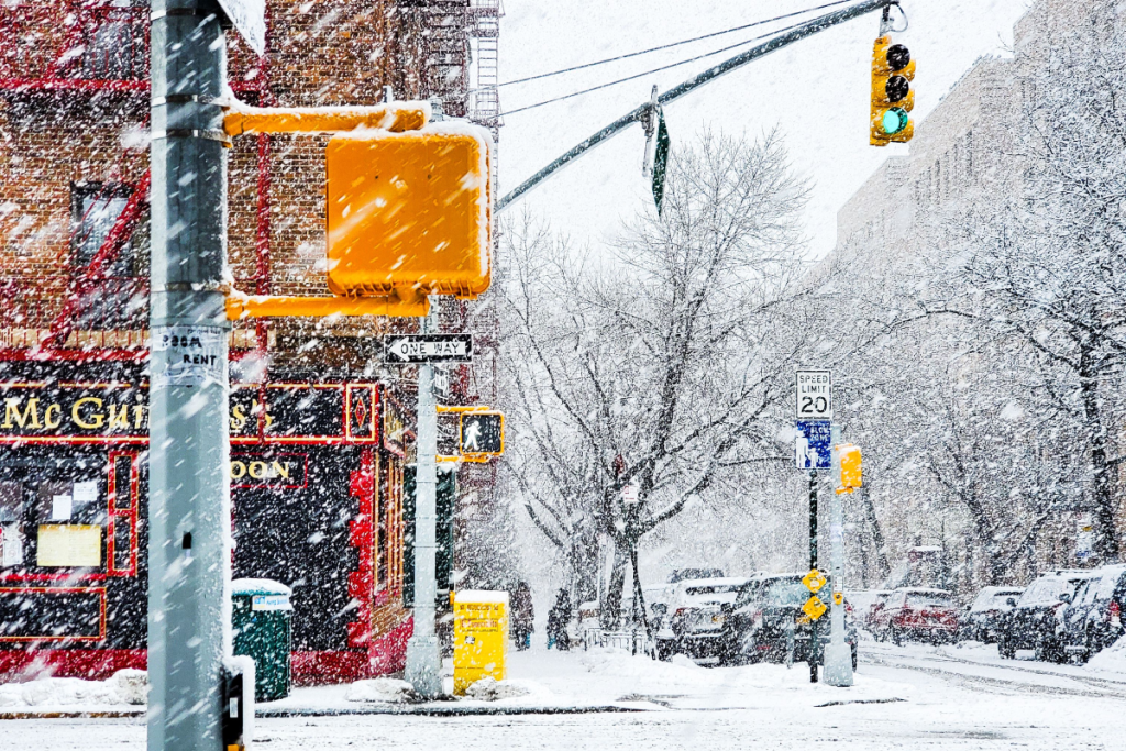 Here’s when New York City could see its first snowflakes of the season
As autumn chill settles over New York City, National Weather Service and NOAA climate data reveal when the five boroughs can expect their first flurries of the 2026 season. After a mild start to fall, recent temperature…
-
 Enjoy beautiful autumn weather in New York with sunny skies and temperatures up to 17°C
The Times of India New York, October 21, 2026 Today's weather is characterized by a mostly sunny and breezy day, marking a pleasant autumn shift in climate The temperature is expected to reach a high of 17°C, while…
-
 Freeze alerts stretch from Missouri to New York for Sunday
Temps drop for millions across the Central Plains, Midwest, Northeast The first real taste of fall is settling in for millions, including a few first frosts and freezes of the season for some in the Midwest and East…
-
 Good Morning, Buffalo: What a super El Niño could mean for Western New York
Oct. 18, 2026 Javascript is required to use this website. Golfers make their way to the next tee in the course at Delaware Park last week. In past El Ãino years, Western New York received much less snow than normal and…
-
 First Alert Weather: Bright sunshine, crisp air for Sunday in New York - 10/17/26
CBS News Detroit Weekend 11pm CBS News Los Angeles Weekend 8pm CBS News Philadelphia Weekend KDKA News Weekend 11pm CBS News Texas Weekend 10pm
-
 First Alert Weather: Clear skies with chilly temps Sunday in New York - 10/17/26
CBS News Bay Area Evening Edition Weekend 6pm CBS News Detroit Weekend 6pm CBS News Los Angeles Weekend 6pm CBS News Philadelphia 7:30pm Health Watch on CBS News Sacramento CBS News Texas Saturday 5pm
-
 Dangerous Freeze Warnings for 7 Counties in New York as Temperatures Plummet
Freeze Warnings take effect tonight across parts of New York, with lows in the upper 20s to around 30 expected from the Hudson Valley to Buffalo. The warnings run into 9 a.m. EDT Sunday. Frost and freeze conditions…
-
 First Alert Weather: Feels like November Saturday in New York - 10/17/26
CBS News Bay Area Morning Edition Weekend 6am WBZ This Morning 8am CBS News Chicago Saturday 8am CBS Colorado Mornings Weekend CBS News Los Angeles Weekend 6am CBS News Miami This Morning 9am WCCO News Saturday Morning…
Air quality
Air quality is satisfactory, and air pollution poses little or no risk.
Forecast
- FriGood (35)
- SatModerate (60)
Rutland, VT reporting area · 1 hr ago. Data from AirNow (EPA and its state, local and tribal partners); preliminary and subject to change.
Sun & moon
Almanac
MonthlyGlens Falls Area, records since 1893. Normals 1991–2020. Data from NOAA's Regional Climate Centers (ACIS).
Nearby
- Queensbury 26 km
- Wilton 50 km
- Rutland 35 km
- Glens Falls 34 km
- Glens Falls North 33 km
- Hudson Falls 32 km
- West Glens Falls 36 km
- Middlebury (village) 54 km
- Northumberland 50 km
- South Glens Falls 34 km
- Ticonderoga 33 km
- Fort Edward 35 km
Forecasters' discussion
From the National Weather Service office in ALY, issued 8 hrs ago
What Has Changed
Lowered dew points for this afternoon and tomorrow afternoon given favorable dry air advection and incoming low PWATs.
Leaned on the lower end of guidance for Saturday morning low temperatures due to near ideal radiational cooling and high confidence for widespread below freezing temperatures.
Key Messages
1) High confidence in dry conditions persisting through at least the middle of next week.
Discussion
KEY MESSAGE 1...
A strong ~1030-1035hPa anticyclone centered in southern Ontario will build southward towards the Northeast today in the wake of a departing shortwave trough. Large scale subsidence will mark our sixth straight day with sunny skies and dry conditions. Northerly winds in between the departing shortwave trough and incoming high will support cool/dry air advection with PWATs dropping 1 to 2 standard deviations below normal per the latest NAEFS and ENS standardized anomaly. Thus, temperatures today will trend cooler compared to previous days yet remain seasonable for late October likely only rising into the mid to upper 50s. Although some cirrus clouds increase after Midnight as moisture spills overtop a shortwave ridge building out of the Great Lakes, still expecting near ideal radiational cooling conditions. There is high confidence in another widespread freeze by early Saturday morning with most areas falling into the mid to upper 20s. Similar to the previous forecast, leaned on the lower end of guidance for low temperatures to capture the cooling potential. Canadian high pressure builds overhead for Saturday and Sunday leading to a stellar weekend. Seasonable temperatures on Saturday trend slightly above normal on Sunday as zonal flow ensues supporting west to southwesterly return flow. Mild temperatures continue into Monday ahead of a moisture starved cold front. High confidence in our dry stretch continuing through the middle of next week with the latest probabilistic guidance showing 0% chance for any measurable (at least 0.01") rain through Wednesday with less than a 10% chance focused mainly north and west of the Capital District for at least a 0.10" of rain in the 24 hr period 8am Wed to 8am Thurs.
Aviation
Through 12 UTC Saturday, VFR conditions prevail through the end of the TAF period. Northerly winds around 3-5kts through early this morning increase to 6-8kts by 14-16 UTC with occasional gusts to 12kts. Winds weaken under 5kts by sunset through the end of the TAF period.
Outlook...
Saturday Night: No Operational Impact. NO SIG WX. Sunday: No Operational Impact. NO SIG WX. Sunday Night: No Operational Impact. NO SIG WX. Monday: No Operational Impact. NO SIG WX. Monday Night: No Operational Impact. NO SIG WX. Tuesday: No Operational Impact. NO SIG WX. Tuesday Night: No Operational Impact. NO SIG WX. Wednesday: No Operational Impact. NO SIG WX.
Forecasts, observations and alerts in the United States come from the National Weather Service (NOAA); radar from NOAA's Multi-Radar Multi-Sensor system; satellite imagery from NASA's Global Imagery Browse Services (GIBS) and NOAA's GOES satellites; the map from the U.S. Geological Survey's National Map; air quality from AirNow (EPA and its partners); hurricane information from the National Hurricane Center; climate normals and records from NOAA's Regional Climate Centers (ACIS). Forecasts outside the United States and the UV index: MET Norway (CC BY 4.0); observations outside the U.S.: airport reports via NOAA's Aviation Weather Center. Place names: GeoNames (CC BY 4.0). Data are copied on a schedule and may lag the sources; for warnings that affect your safety, follow your local National Weather Service office and emergency officials. Weather news is drawn from the 4Search index and reflects what the press published. Terms of use.