Install
Middlebury (village), VT Weather
Current conditions
Observed at Burlington, Burlington International Airport · 1 hr ago
Forecast
10-day-
Monday
Partly sunny, with a high near 61. Southeast wind 2 to 8 mph.
-
Monday Night
Partly cloudy, with a low around 28. North wind 7 to 10 mph.
-
Tuesday
Sunny, with a high near 49. North wind 6 to 9 mph.
National Weather Service forecast updated 8 hrs ago.
Hourly
Hourly forecast- Now47°
- 11 AM51°
- 12 PM54°
- 1 PM57°
- 2 PM58°
- 3 PM59°
- 4 PM61°
- 5 PM56°
- 6 PM52°
- 7 PM47°
- 8 PM44°
- 9 PM41°
- 10 PM39°
- 11 PM38°
- Tue12 AM36°
- 1 AM35°
- 2 AM34°
- 3 AM33°
- 4 AM32°
- 5 AM31°
- 6 AM31°
- 7 AM28°
- 8 AM31°
- 9 AM35°
10-day forecast
Details- TonightOct 25Partly Cloudy35°
- TodayOct 26Partly Sunny28°61°
- TueOct 27Sunny21°49°
- WedOct 28Sunny37°55°
- ThuOct 29Mostly Sunny26%47°63°
- FriOct 30Chance Rain Showers then Partly Sunny26%39°64°
- SatOct 31Mostly Sunny37°59°
- SunNov 1Partly Sunny then Slight Chance Rain Showers15%60°
- MonNov 2Cloudy0.05 in48°63°
- TueNov 3Partly cloudy29°48°
Days after the National Weather Service's seven are MET Norway's outlook, a computer model with no forecaster's review.
Radar
Full mapWeather news in Vermont
More weather news-
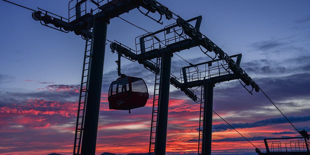 Vermont ski mountains prepare to open as winter weather looms
A ski resort in Colorado unveils preserved snow from last season to provide a rare opportunity for thousands, skiing in October. Chris Miller, the sustainability senior VP at Aspen One, joins FOX Weather to talk about…
-
 Stick season approaches, but a beautiful weekend ahead across Vermont
This year, VTDigger is teaming up with Henry’s Weather Channel to help answer the annual question of when and where peak foliage will make its appearance across the state. Though the best fall foliage is now behind us…
-
 NOAA’s Winter Outlook Predicts Warmer Temperatures and Less Snow for Vermont
At SSBCrack News, our dedicated editorial team brings you the latest and most reliable updates on Defence, Geopolitics, Military Affairs, Science, and Technology. Driven by a passion for national security and strategic…
- Vermont Woolly Bear Points to Mild Winter in Predicting A Harsh Winter Using Wildlife
A Vermont woolly bear crossing a patch of pine needles on an access road this week is feeding the old habit of predicting a harsh winter using wildlife, and this one pointed toward a mild season. Its black ends and wide…
-
 PHOTOS: First snowflakes fly around Vermont
VTDigger Member-supported journalism. Informing and engaging Vermont. This year, VTDigger is teaming up with Henry’s Weather Channel to help answer the annual question of when and where peak foliage will make its…
Air quality
Acceptable. Unusually sensitive people should consider limiting prolonged outdoor exertion.
Forecast
- MonModerate (60)
Rutland, VT reporting area · 1 hr ago. Data from AirNow (EPA and its state, local and tribal partners); preliminary and subject to change.
Sun & moon
Almanac
MonthlyCornwall, records since 1894. Normals 1991–2020. Data from NOAA's Regional Climate Centers (ACIS).
Nearby
- Burlington 51 km
- South Burlington 50 km
- Colchester 59 km
- Rutland 48 km
- Essex Junction 53 km
- Barre 57 km
- Williston 48 km
- Montpelier 55 km
- Winooski 53 km
- Hinesburg 35 km
- Charlotte 34 km
- Ticonderoga 28 km
Forecasters' discussion
From the National Weather Service office in BTV, issued 2 hrs ago
What Has Changed
As of 216 AM EDT Monday...
No significant changes have been made with this forecast package.
Key Messages
As of 216 AM EDT Monday...
1. A cold front will bring a roller coaster of temperatures to the region through Thursday.
2. Some light rain will be possible late Thursday as a frontal boundary moves through the region, with mostly dry and seasonably warm weather prevail late this week into the weekend.
Discussion
As of 216 AM EDT Monday...
KEY MESSAGE 1: A cold front will bring light rain showers to portions of northern New York and the higher terrain of Vermont this morning and early this afternoon. Model soundings continue to show a plethora of dry air in the low levels which will likely inhibit much, if not all, rainfall from making it into the deeper valleys. Still, any location that does receive rain today will see well under a tenth of an inch and will only be for a brief period of time. High pressure will quickly build across the region Tuesday with strong cold air advection leading to noticeably cooler temperatures on Tuesday. For example, we will see temperatures warm into the mid 50s to mid 60s today but see temperatures struggle to warm into the mid to upper 40s on Tuesday. Several locations in Vermont have the potential to see record lows Wednesday morning as temperatures fall into the mid teens to lower 20s. This cool down will be short-lived as warm advection will begin on Wednesday and will allow for temperatures to moderate back into the lower 60s by Thursday.
KEY MESSAGE 2: With the exception of a few chances for showers Thursday night, mostly dry and seasonably warm weather is expected for late this week into the weekend. Another weak cold front looks to move through the region late Thursday, with the potential for some light rain showers, particularly across northern portions of the forecast area. Heading into the weekend, drier weather looks to prevail, especially for Saturday. Temperatures later this week into the weekend look to be seasonably warm, with daytime high temperatures climbing into the mid 50s and lower 60s and overnight lows falling into the 30s and 40s.
Aviation
Through 12Z Tuesday...VFR conditions continue to prevail across the region, and will continue throughout most of the forecast period. A weak system will move through the region later this morning, bringing increasing cloud and a possible stray shower or two to northern New York. Ceilings will generally remain VFR, but could trend MVFR towards 15Z to 18Z or so as the front moves through the region. The best chances for MVFR ceilings and any showers will be at KMSS, but confidence is low given the dry conditions so PROB30 groups were utilized. After 18Z or so, all terminals will trend back to VFR and are expected to remain that way for the remainder of the forecast period. Winds tonight will general be light and terrain influences, increasing out of the south/southwest towards morning. Behind the front, winds look to shift to become more northwesterly.
Outlook...
Tuesday: VFR. NO SIG WX. Tuesday Night: VFR. NO SIG WX. Wednesday: VFR. NO SIG WX. Wednesday Night: VFR. NO SIG WX. Thursday: VFR. NO SIG WX. Thursday Night: Mainly VFR, with areas MVFR possible. Chance SHRA. Friday: Mainly VFR, with areas MVFR possible. Slight chance SHRA.
Forecasts, observations and alerts in the United States come from the National Weather Service (NOAA); radar from NOAA's Multi-Radar Multi-Sensor system; satellite imagery from NASA's Global Imagery Browse Services (GIBS) and NOAA's GOES satellites; the map from the U.S. Geological Survey's National Map; air quality from AirNow (EPA and its partners); hurricane information from the National Hurricane Center; climate normals and records from NOAA's Regional Climate Centers (ACIS). Forecasts outside the United States and the UV index: MET Norway (CC BY 4.0); observations outside the U.S.: airport reports via NOAA's Aviation Weather Center. Place names: GeoNames (CC BY 4.0). Data are copied on a schedule and may lag the sources; for warnings that affect your safety, follow your local National Weather Service office and emergency officials. Weather news is drawn from the 4Search index and reflects what the press published. Terms of use. How to use Weather