Install
Rockland, ME 04841 Weather
Current conditions
Observed at Rockland, Knox County Regional Airport · 57 min ago
Forecast
10-day-
Overnight
Clear, with a low around 34. North wind around 15 mph, with gusts as high as 30 mph.
-
Friday
Sunny, with a high near 51. North wind 10 to 15 mph, with gusts as high as 30 mph.
-
Friday Night
Clear, with a low around 29. North wind 5 to 10 mph.
National Weather Service forecast updated 3 hrs ago.
Hourly
Hourly forecast- Now39°
- 6 AM38°
- 7 AM37°
- 8 AM38°
- 9 AM41°
- 10 AM43°
- 11 AM46°
- 12 PM47°
- 1 PM49°
- 2 PM51°
- 3 PM51°
- 4 PM51°
- 5 PM50°
- 6 PM47°
- 7 PM45°
- 8 PM43°
- 9 PM41°
- 10 PM39°
- 11 PM37°
- Sat12 AM36°
- 1 AM35°
- 2 AM34°
- 3 AM32°
- 4 AM31°
10-day forecast
Details- TonightOct 22Clear34°
- TodayOct 23Sunny29°51°
- SatOct 24Sunny31°55°
- SunOct 25Sunny38°58°
- MonOct 26Sunny35°63°
- TueOct 27Sunny29°50°
- WedOct 28Sunny34°49°
- ThuOct 29Mostly Sunny54°
- FriOct 30Partly cloudy50°59°
- SatOct 31Sunny40°53°
Days after the National Weather Service's seven are MET Norway's outlook, a computer model with no forecaster's review.
Radar
Full mapWeather news near Rockland
More weather news-
 Doug Iverson's Storm Tracker Forecast | Monday, October 19
KPVI Warmer-than-usual temperatures continue, but sunshine takes a step back. STUDENT'S ALLEGED GUN THREAT AFFECTS LOCAL SCHOOLS Low Water Levels Reveal Original American Falls Town Site Local Man Was Arrested in Bar…
-
 Ice Cleats for Shoes: What Rockland Residents Should Know Before the First Freeze
This guide explains how ice cleats work, how to choose a pair, how to use them safely and what the published safety guidance says about walking on ice and snow. Ice cleats are traction devices that stretch over or strap…
-
 Severe Weather Threat Increasing For Hudson Valley: Here's Timeline Of Concern
HUDSON VALLEY, NY — A hazardous weather outlook alert has been issued for southeast New York due to the potential for thunderstorms today. The National Weather Service’s alert includes Orange, Putnam, Rockland and…
-
 Doug Iverson's Storm Tracker Weather | Thursday, October 15
KPVI A warming trend heading into the weekend. Local Woman Sentenced to Prison One of Colorado's Most Wanted Sex Offenders Was Found in Wyoming Rooster Makes an Appearance on Tail-Wagger Wednesday Friends of Blackfoot…
-
 Matt Davenport's Storm Tracker Forecast for Thursday, October 15
KPVI Warmer weather is on the way for the weekend. Local Woman Sentenced to Prison One of Colorado's Most Wanted Sex Offenders Was Found in Wyoming Rooster Makes an Appearance on Tail-Wagger Wednesday Friends of…
-
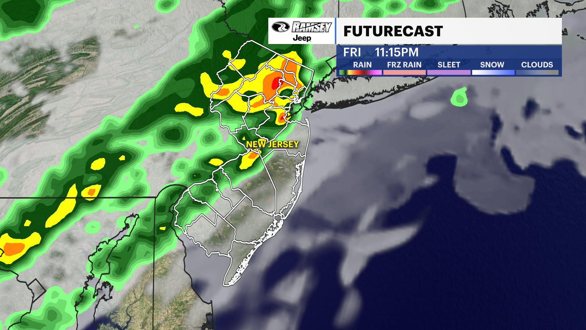 Barnegat Inlet, NJ [8533615]
Your Daily New Jersey Weather Forecast News12 | Westchester Warm start, cool finish: New Jersey's weather takes a roller-coaster turn this week A cooling trend is expected over the next few days as we lose the unusually…
-
 Doug Iverson's Storm Tracker Forecast | Tuesday, October 13
KPVI Finally, our first storm of the month is winding down. American Falls Police Seeking Information on Missing Person Rain Didn't Stop the Community from Coming Out for ISU Homecoming Parade The City of Idaho Falls is…
-
 KPVI Storm Tracker Alert
KPVI WIDESPREAD FREEZE is likely in the Snake River Plain late Tuesday Night into Wednesday Morning. The National Weather Service has issued a Freeze Warning from 3 to 9 a.m. on Wednesday. American Falls Police Seeking…
-
 Drought lowers well levels in northern Maine
AROOSTOOK COUNTY, Maine (WAGM) - About half the country relies on private wells for everyday water use. An ongoing drought is leaving some wells with record low levels, and with winter approaching, local officials say…
- Birders flock to southern Maine to see rare gray heron, documented in state for first time ever
NewsBreak: Local News & Alerts Local news from Maine Birders flock to southern Maine to see rare gray heron, documented in state for first time ever YOU MAY ALSO LIKE Iconic Frozen Pizza Discontinued Forever, After More…
Air quality
Air quality is satisfactory, and air pollution poses little or no risk.
Forecast
- FriGood
- SatGood
- SunGood
Mid-Coast, ME reporting area · 1 hr ago. Data from AirNow (EPA and its state, local and tribal partners); preliminary and subject to change.
Sun & moon
Almanac
MonthlyWest Rockport 1 Nnw, records since 1976. Normals 1991–2020. Data from NOAA's Regional Climate Centers (ACIS).
Nearby
Forecasters' discussion
From the National Weather Service office in GYX, issued 44 min ago
What Has Changed
Gale Warnings over the inner coastal waters have been cancelled, but winds and seas will remain hazardous to small craft today and much of tonight.
Key Messages
1. Dry weather continues areawide through the weekend and into next week. A cool and dry airmass will bring widespread overnight lows in the 20s tonight and Saturday night.
Discussion
KEY MESSAGE 1 DESCRIPTION...
High pressure remains centered across Quebec through today, gradually shifting south of New England through the weekend. A pressure gradient between exiting low pressure in the open Atlantic and incoming high pressure will bring one more day of breezy conditions.
As the high crests overhead tonight, the dry airmass allows for a cold night with lows falling into the 20s for most of the area, and some teens across the north. The high continues to move southward, setting up a moderating southwest flow by the end of the weekend. Temps rebound back into the 60s for Sunday and Monday.
A weak front passes through on Monday with little more than a few sprinkles across the north. Behind the front, a new high pressure center arrives with a cooler airmass. Highs return to the 40s and 50s for Tuesday and Wednesday, before beginning to rebound back into the 60s for the end of the week as the high moves offshore.
At this time there is still no meaningful rainfall in the forecast for at least the next week.
Aviation
Through 06z Saturday: Occasional N gusts around 20 kts ease this morning. Otherwise, VFR is expected today through tonight. Calm winds and clear skies tonight could promote BR/FG development for valley locations (particularly HIE/LEB), but the dry airmass may also help deter this.
Outlook...
Saturday-Wednesday...VFR prevails under high pressure. This should lead to light diurnal wind patterns.
Forecasts, observations and alerts in the United States come from the National Weather Service (NOAA); radar from NOAA's Multi-Radar Multi-Sensor system; satellite imagery from NASA's Global Imagery Browse Services (GIBS) and NOAA's GOES satellites; the map from the U.S. Geological Survey's National Map; air quality from AirNow (EPA and its partners); hurricane information from the National Hurricane Center; climate normals and records from NOAA's Regional Climate Centers (ACIS). Forecasts outside the United States and the UV index: MET Norway (CC BY 4.0); observations outside the U.S.: airport reports via NOAA's Aviation Weather Center. Place names: GeoNames (CC BY 4.0). Data are copied on a schedule and may lag the sources; for warnings that affect your safety, follow your local National Weather Service office and emergency officials. Weather news is drawn from the 4Search index and reflects what the press published. Terms of use.