Install
China, ME Weather
Current conditions
Observed at Waterville, Waterville Robert LaFleur Airport · 51 min ago
Forecast
10-day-
Friday
Sunny, with a high near 51. North wind 5 to 15 mph, with gusts as high as 25 mph.
-
Friday Night
Clear, with a low around 26. North wind 0 to 5 mph.
-
Saturday
Sunny, with a high near 56. Northwest wind 0 to 5 mph.
National Weather Service forecast updated 1 day ago.
Hourly
Hourly forecast- Now51°
- 4 PM51°
- 5 PM49°
- 6 PM46°
- 7 PM44°
- 8 PM38°
- 9 PM36°
- 10 PM34°
- 11 PM33°
- Sat12 AM32°
- 1 AM30°
- 2 AM29°
- 3 AM28°
- 4 AM27°
- 5 AM27°
- 6 AM26°
- 7 AM26°
- 8 AM28°
- 9 AM34°
- 10 AM41°
- 11 AM47°
- 12 PM51°
- 1 PM54°
- 2 PM55°
10-day forecast
Details- ThuOct 22Partly Sunny32°58°
- TodayOct 23Sunny26°51°
- SatOct 24Sunny28°56°
- SunOct 25Sunny33°61°
- MonOct 26Sunny37°63°
- TueOct 27Sunny30°52°
- WedOct 28Mostly Sunny34°50°
- ThuOct 29Mostly sunny37°56°
- FriOct 30Rain0.19 in36°55°
- SatOct 31Partly cloudy35°51°
Days after the National Weather Service's seven are MET Norway's outlook, a computer model with no forecaster's review.
Radar
Full mapWeather news near China
More weather news-
 Typhoon Champi Path: Category 5 Monster With 180 MPH Winds Targets Taiwan And Eastern China As Satellite Imagery Captures Colossal Structure
Zaini is Editor at The Sunday Guardian. She focuses on geopolitics, defence, international affairs, and breaking news coverage. She has worked in fast-paced newsrooms, including WION, Republic Media Network, India Today…
-
 Latest news on Super Typhoon Champi: Category 17, will not enter the South China Sea.
Super Typhoon Champi, with winds exceeding level 17 and gusts exceeding level 17, is not forecast to enter the South China Sea. However, the western circulation of the typhoon could cause strong winds and high waves in…
-
 Taiwan Halts Stock Trade, Shuts Schools as Typhoon Champi Nears
Taiwan will suspend trading on its stock exchange and shut schools in most areas on Friday as Typhoon Champi approaches the island, disrupting flights and threatening heavy rainfall. Champi is currently 713 kilometers…
- Taiwan cancels over 100 flights as Super Typhoon Champi churns towards island with 140mph winds
Strongest storm of the year is forecast to hit island the hardest before moving towards China The strongest storm of the year weakened slightly on Thursday as it barrelled towards the Philippines, Taiwan, and China…
-
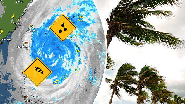 Severe weather in South-East Asia: A powerful typhoon is heading towards Taiwan
Weather News - Follow weather live - Weather & Radar Storms and heavy rain A massive typhoon heads for Taiwan Damaging winds, waves several feet high and torrential rain: Typhoon CHAMPI is heading for Taiwan. Although…
-
 Typhoon Champi Seen Approaching Okinawa Islands Fri.
Tokyo, Oct. 22 (Jiji Press)--Large and powerful Typhoon Champi is expected to approach the Sakishima Islands in Okinawa Prefecture, southernwestern Japan, on Friday, likely passing between Okinawa and Taiwan in the…
- Typhoon Champi Cancels Taiwan–Okinawa Flights as Ferry Services Stop
Typhoon Champi has triggered flight cancellations between Taiwan and Okinawa, disrupted domestic air services and forced the suspension of several ferry routes as authorities prepare for dangerous weather on October 22…
-
 Rain returns to Modesto area. What’s ahead going into next week?
The first measurable precipitation since late May arrived in Modesto on Wednesday afternoon. The National Weather Services predicts less than a 10th of an inch during the day. There will be a clearing later into the…
-
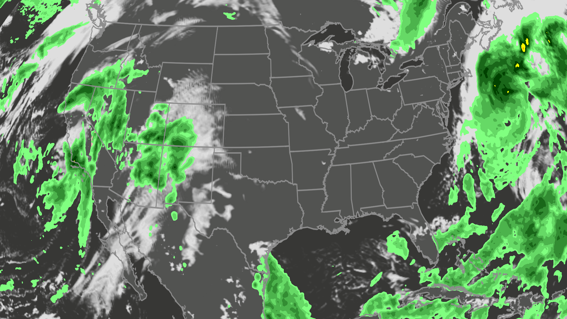 Orionid meteor shower peaks tonight; where skies will be clear
A meteor streaks across the sky over a desert in China during the Orionid meteor shower on Oct. 22, 2023. (VCG/VCG via Getty Images) Here's what you need to know about the Orionids and your forecast: While you can make…
-
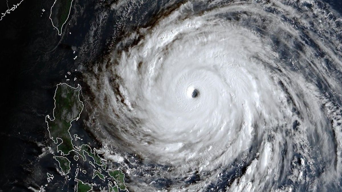 Difference between typhoon and hurricane as Super Typhoon Champi becomes strongest storm on Earth
There is one key difference that separates a typhoon and a hurricane While they come from the same family of tropical storms, typhoons and hurricanes have one main difference. Queries of such have appeared online after…
Air quality
Air quality is satisfactory, and air pollution poses little or no risk.
Forecast
- FriGood
- SatGood
- SunGood
Mid-Coast, ME reporting area · 1 hr ago. Data from AirNow (EPA and its state, local and tribal partners); preliminary and subject to change.
Sun & moon
Almanac
MonthlyWaterville Treatment Plt, records since 1896. Normals 1991–2020. Data from NOAA's Regional Climate Centers (ACIS).
Nearby
- Augusta 28 km
- Waterville 12 km
- Winslow 11 km
- Rockland 53 km
- Belfast 41 km
- Skowhegan 36 km
- Gardiner 34 km
- Jay 56 km
- Farmington 55 km
- Greene Village 59 km
- Vassalboro 13 km
- Warren 46 km
Forecasters' discussion
From the National Weather Service office in GYX, issued 8 hrs ago
What Has Changed
No significant changes to the forecast with this update.
Key Messages
1. Dry weather continues areawide through the weekend and into next week. A cool and dry airmass will bring widespread overnight lows in the 20s tonight and Saturday night.
Discussion
KEY MESSAGE 1 DESCRIPTION...
High pressure remains centered across Quebec today, gradually shifting south of New England through the weekend. A pressure gradient between exiting low pressure in the open Atlantic and incoming high pressure will bring one more day of breezy conditions.
As the high crests overhead tonight, the dry airmass allows for a cold night with lows falling into the 20s for most of the area, and some teens across the north. The high continues to move southward, setting up a moderating southwest flow by the end of the weekend. Temps rebound back into the 60s for Sunday and Monday.
A weak front passes through on Monday with little more than a few sprinkles across the north. Behind the front, a new high pressure center arrives with a cooler airmass. Highs return to the 40s and 50s for Tuesday and Wednesday, before beginning to rebound back into the 60s for the end of the week as the high moves offshore.
At this time there is still no meaningful rainfall in the forecast for at least the next week.
Aviation
Through 12z Saturday: Occasional N gusts around 20 kts ease this afternoon. Local wind enhancement is possible in vicinity of Penobscot Bay this morning. Otherwise, VFR is expected today through tonight. Calm winds and clear skies tonight could promote BR/FG development for valley locations (particularly HIE/LEB), but the dry airmass may also help deter this.
Outlook...
Saturday-Wednesday...VFR prevails under high pressure. This should lead to light diurnal wind patterns.
Forecasts, observations and alerts in the United States come from the National Weather Service (NOAA); radar from NOAA's Multi-Radar Multi-Sensor system; satellite imagery from NASA's Global Imagery Browse Services (GIBS) and NOAA's GOES satellites; the map from the U.S. Geological Survey's National Map; air quality from AirNow (EPA and its partners); hurricane information from the National Hurricane Center; climate normals and records from NOAA's Regional Climate Centers (ACIS). Forecasts outside the United States and the UV index: MET Norway (CC BY 4.0); observations outside the U.S.: airport reports via NOAA's Aviation Weather Center. Place names: GeoNames (CC BY 4.0). Data are copied on a schedule and may lag the sources; for warnings that affect your safety, follow your local National Weather Service office and emergency officials. Weather news is drawn from the 4Search index and reflects what the press published. Terms of use.