Install
South Greeley, WY Weather
Current conditions
Forecast for this hour (no station report in the last two hours)
Forecast
10-day-
Tonight
Rain showers likely before 9pm, then showers and thunderstorms. Cloudy. Low around 35, with temperatures rising to around 38 overnight. North northeast wind 5 to 10 mph. Chance of precipitation is 80%. New rainfall amounts between a tenth and quarter of an inch possible.
-
Monday
A chance of rain and snow showers before noon. Partly sunny. High near 52, with temperatures falling to around 49 in the afternoon. Northwest wind around 5 mph. Chance of precipitation is 40%.
-
Monday Night
Partly cloudy, with a low around 31. South wind around 5 mph.
National Weather Service forecast updated 18 hrs ago.
Hourly
Hourly forecast- Now43°47%
- 8 PM41°63%
- 9 PM41°76%
- 10 PM41°75%
- 11 PM41°74%
- Mon12 AM41°73%
- 1 AM40°69%
- 2 AM40°66%
- 3 AM39°62%
- 4 AM40°54%
- 5 AM38°46%
- 6 AM38°38%
- 7 AM38°38%
- 8 AM36°38%
- 9 AM38°38%
- 10 AM42°28%
- 11 AM44°19%
- 12 PM48°
- 1 PM50°
- 2 PM51°
- 3 PM52°
- 4 PM51°
- 5 PM49°
- 6 PM47°
Daily forecast
Details- TodayOct 25Mostly Cloudy then Chance Rain Showers76%35°48°
- MonOct 26Chance Rain And Snow Showers then Partly Sunny38%31°52°
- TueOct 27Sunny33°62°
- WedOct 28Mostly Sunny35°61°
- ThuOct 29Mostly Sunny38°63°
- FriOct 30Mostly Sunny14%38°64°
- SatOct 31Chance Rain Showers37%36°60°
- SunNov 1Light rain0.05 in42°57°
- MonNov 2Heavy rain1.35 in39°52°
Days after the National Weather Service's seven are MET Norway's outlook, a computer model with no forecaster's review.
Radar
Full mapWeather news in Wyoming
More weather news-
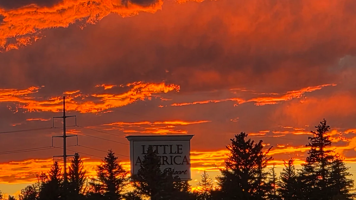 Don Day's Wyoming Weather Forecast: Sunday, October 25, 2026
Chance of rain and snow in parts of Wyoming on Sunday, otherwise partly sunny. Partly cloudy to cloudy skies overnight. Rain and snow possible in some areas. Highs mainly in the 40s and low 50s. Lows from the low 20s to…
-
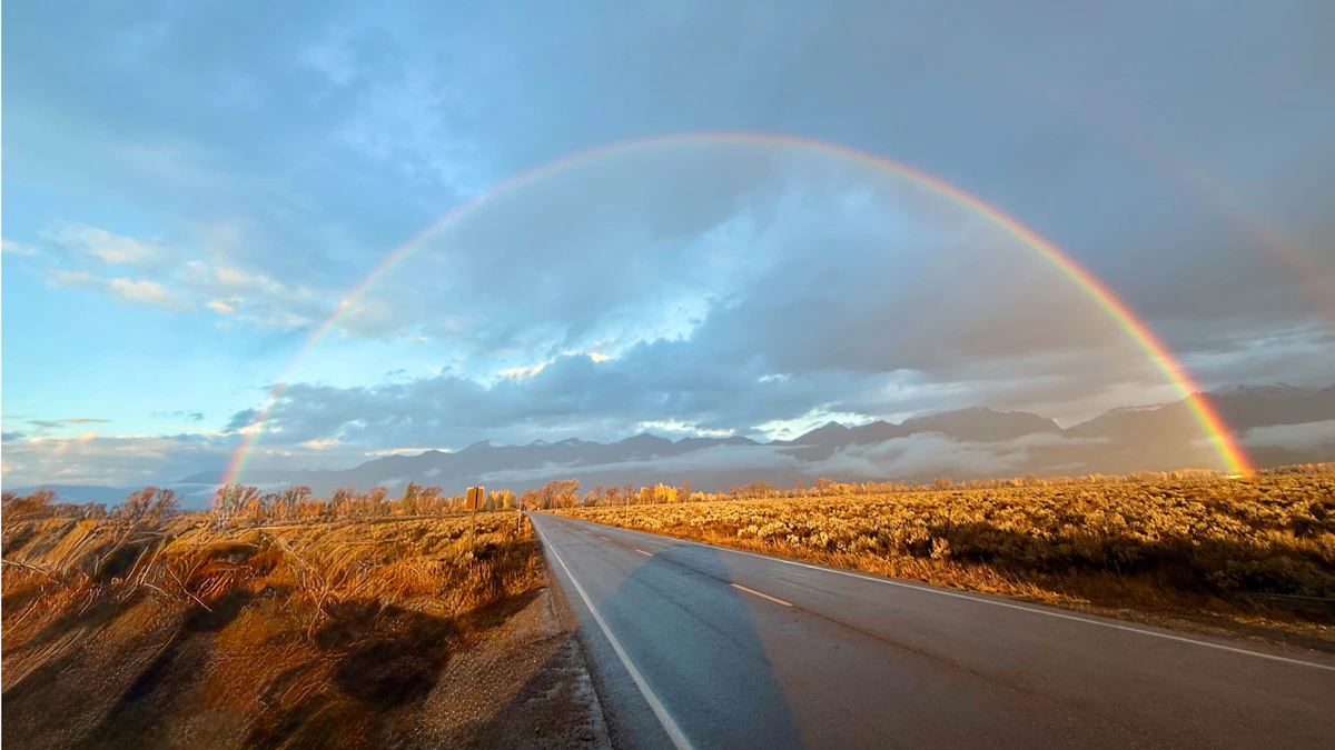 Don Day's Wyoming Weather Forecast: Saturday, October 24, 2026
October 24, 2026less than a minute read Coy KnobelOctober 23, 2026 Coy KnobelOctober 22, 2026 Coy KnobelOctober 21, 2026 Coy KnobelOctober 20, 2026
-
 El Nino will impact SE Wyoming weather, state's ACT scores mixed
Good morning, and Happy Friday! According to reporter Alyssa Tolman's summary of the NWS 2026-27 winter outlook, a developing El Niño could bring increased chances for snowfall to Cheyenne later in the winter and into…
-
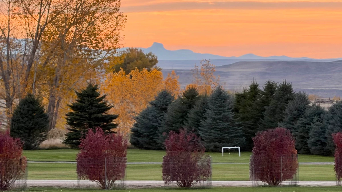 Don Day's Wyoming Weather Forecast: Friday, October 23, 2026
Sunny in some areas of Wyoming on Friday and rain possible in others. Windy. Breezy overnight with a chance of rain and snow in some areas. Highs from the upper 40s to near 80. Lows from the mid 20s to near 40. Casper…
-
 #Drought news October 22, 2026: Improvements occurred across portions of #Kansas, #Nebraska, #Colorado, #Wyoming, #Utah, #Arizona and #NewMexico
Drought news October 22, 2026: Improvements occurred across portions of #Kansas, #Nebraska, #Colorado, #Wyoming, #Utah, #Arizona and #NewMexico coyotegulch.blog Click on a thumbnail graphic to view a gallery of drought…
-
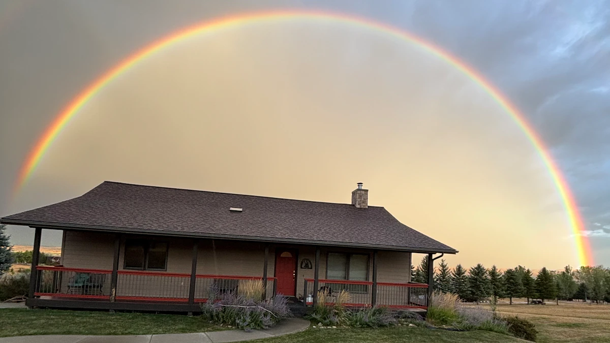 Don Day's Wyoming Weather Forecast: Thursday, October 22, 2026
Chance of rain, cloudy in parts of Wyoming on Thursday. Partly to mostly cloudy overnight with a chance of rain in some areas. Highs in the 60s and 70s. Lows from the mid 30s to mid 50s. Casper: Partly sunny and breezy…
-
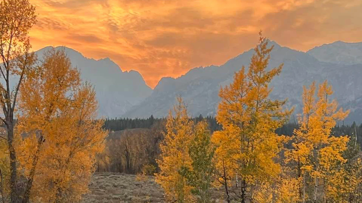 Don Day's Wyoming Weather Forecast: Wednesday, October 21, 2026
Mostly sunny to sunny in Wyoming on Wednesday. Mix of clear and cloudy skies overnight. Highs in the 60s and 70s. Lows mainly in the 30s and 40s. Casper: Gradually becoming sunny today with a high near 73 and wind gusts…
-
 Very Strong El Nino Could Be Good News For SE Wyoming Drought
Southeast Wyoming can expect better days as El Niño boosts winter temperatures and snowfall. KGAB Very Strong El Nino Could Be Good News For SE Wyoming Drought The National Oceanic and Atmospheric Administration says a…
-
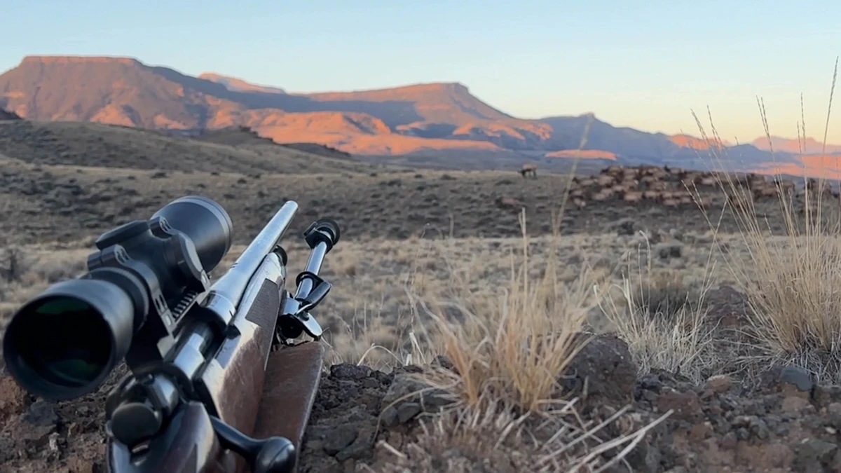 Don Day's Wyoming Weather Forecast: Tuesday, October 20, 2026
Mostly sunny to sunny in Wyoming on Tuesday. Partly cloudy to mostly clear overnight. Highs from the upper 50s to low 70s. Lows from the low 30s to mid-40s. Casper: Sunny and breezy today with a high near 69 and wind…
-
 Balmy SE Wyoming Temperatures Expected, Rain Possible Friday
Breezy conditions expected across Cheyenne and Laramie as autumn weather settles in. KGAB Balmy SE Wyoming Temperatures Expected, Rain Possible Friday The Cheyenne Office of the National Weather Service is predicting…
Air quality
Air quality is satisfactory, and air pollution poses little or no risk.
Cheyenne, WY reporting area · 1 hr ago. Data from AirNow (EPA and its state, local and tribal partners); preliminary and subject to change.
Sun & moon
Almanac
MonthlyCheyenne Area, records since 1872. Normals 1991–2020. Data from NOAA's Regional Climate Centers (ACIS).
Nearby
- Cheyenne 5 km
- Wellington 47 km
- Ranchettes 14 km
- Fox Farm-College 2 km
- Laporte 59 km
Forecasters' discussion
From the National Weather Service office in CYS, issued 5 hrs ago
Key Messages
- Widespread rain and mountain snowfall expected today and Monday as a central Pacific system lifts northeast across the region.
- Near normal temperatures and a bit warmer by Tuesday through Thursday, but the next Pacific system will be approaching from the eastern Pacific later in the week.
Short Term
Issued at 212 PM MDT Sun Oct 25 2026
What a difference a day will make as we see a more active weather pattern through Monday morning across the CWA as a stout upper level low moves from the Desert Southwest into the region. But first, lets take a quick look at today's temperatures with highs west of I-25 topping out in the lower 50s and lower to upper 40s east of the corridor. While lows tonight dip into the lower to mid 30s. Switching gears a bit and taking a look at the upper levels, initially we have a cut off low over the Desert Southwest while we sit under a southwesterly flow regime with a ridge to our east across the Mississippi Valley. As we progress through this afternoon, the cut off low will lift northeast and as it does so, the flow aloft over the CWA will become difluent, this combined with a plume of Pacific moisture and favorable ascent will support increased precipitation chances across the CWA by the late afternoon hours through the overnight into Monday morning.
Lets take a closer look at today through Monday morning, the low over the Southwest will continue to lift northeast closer to our CWA. Guidance indicates a surge of moisture ahead of this system, with ensemble members having PWATs above and around the 98th percentile. With adequate forcing, moderate rainfall looks to be a possibility. So, with ingredients in place, this looks like a scenario where up to 0.5" of rainfall, locally higher amounts, are possible across southeast Wyoming. With the best dynamics setting up over the Nebraska Panhandle, many locations there have the best chances of seeing 1.0" of precipitation. With this system moving in, especially in the afternoon hours, it is not out of the realm of possibility to see a few embedded weak thunderstorms as there is some instability in place, albeit a very slight chance. The coverage with regards to the rain showers will initially be scattered in nature then become more widespread this afternoon into the evening/overnight hours, when the heaviest of the precipitation is expected due to the influx of Pacific moisture. As we head into the overnight hours, the upper level low will slide northeast across the CWA. As it continues to lift off to the northeast Monday morning, rain showers will linger across the Nebraska Panhandle with clearing off to the west. This clearing will continue through the day as the system lifts out of the region, from a west to east. Most of the precipitation should remain as all rain, but for the late evening hours through the overnight can't rule out a few snow flakes mixing in. Not expecting any accumulations at lower elevations due to the warm soil temperatures, but higher elevation may see sub-advisory snowfall, with amounts on the order of 5.0" or less.
Expect slightly cooler temperatures Monday to hang on east of the I- 25 corridor as highs will only top out in the lower to mid 40s across the Nebraska Panhandle while elsewhere highs will approach the low 50s. Looking west of I-25, highs will top out into the lower to mid 50s. Lows Monday night will tank into the lower 30s, to near freezing.
Long Term
Issued at 150 AM MDT Sun Oct 25 2026
No major changes in the long term period, please see previous discussion...
Medium to long range models in reasonable agreement through late week, with a period of quiet weather expected for southeast Wyoming and western Nebraska during the middle of the week. Models show moderate southwesterly flow across the area with the polar jet staying north of the Front Range, and the subtropical jet staying well to the south over Texas and northern Mexico. We're kind of in- between these two separate storm tracks for most of the week with mostly quiet weather expected and near or slightly above average temperatures. A pair of potent Pacific shortwave troughs are forecast to impact the area late this weekend and early next week, with the second one likely missing southern Wyoming and remaining north of the area Tuesday. Models show a surface "cold front" rapidly moving east and clipping the forecast area to the north. However, all this front will do is shift low to midlevel winds into the west and increase wind speeds on Tuesday and Tuesday night...producing somewhat warmer downslope winds for a bulk of the area, including the high plains. Will need to watch for High Wind criteria for the typical wind prone areas of southeast Wyoming since most models show 700mb winds increasing over 45 knots by Tuesday morning and remaining elevated through Tuesday night with a decent surface pressure gradient and some hint of brief mountain wave activity. At this time, in-house wind guidance shows probability of wind gusts over 55 MPH around 20% to 45% for Arlington, Bordeaux, and even some of the sub wind prone areas along Interstate 25 near Douglas. For now, increase wind speeds up to criteria but did not increase wind gusts over 60 MPH quite yet. Event should be pretty brief and not too widespread, and peak mid Tuesday morning. Models have backed off on winds Tuesday night/early Wednesday with a slight downward trend, so kept those winds lower for now.
Downslope winds should result in relatively mild temperatures for this time of the year Tuesday through Thursday, but not quite as warm as it has been prior to this weekend. Kept high temperatures in the upper 50s to upper 60s, warmest of the eastern plains below 5000 feet and coolest temperatures across Carbon and Albany counties. Peak temperatures should occur later in the week with highs approaching 70 degrees over the western Nebraska panhandle as an upper level ridge axis across the southern United States and the Gulf amplifies ahead of the next Pacific storm system. Model solutions begin to diverge at this time, which is to be expected nearly 7 days out, as potential long wave trough attempts to settle across the eastern Pacific Ocean with a potent storm system pushing inland and into the Great Basin Region by late next Saturday and into next Sunday. Will have to keep an eye on this storm later in the forecast period as some model solutions and ensembles show a decent amount of colder air along with a subtropical moisture tap from the central Pacific. This pattern typically favors lee-side low pressure systems and an active weather pattern for the Front Range.
Aviation
Issued at 1122 AM MDT Sun Oct 25 2026
A complex forecast ahead as a Pacific storm will move across the region later this afternoon through Monday afternoon. Expect rain showers to overspread the CWA later today as the storm gets closer, impacting all terminals at varying times. MVFR CIGs will continue to hold firm at KSNY and KAIA, dropping to IFR in several hours. Elsewhere, CIGs have lifted and cleared for KCYS, KLAR, and KRWL. This will be brief as clouds will return as the Pacific storm system moves closer, expect a return of IFR to LIFR CIGs by 03Z Monday along with increasing precipitation chances, especially for the Nebraska terminals and KCYS.
Forecasts, observations and alerts in the United States come from the National Weather Service (NOAA); radar from NOAA's Multi-Radar Multi-Sensor system; satellite imagery from NASA's Global Imagery Browse Services (GIBS) and NOAA's GOES satellites; the map from the U.S. Geological Survey's National Map; air quality from AirNow (EPA and its partners); hurricane information from the National Hurricane Center; climate normals and records from NOAA's Regional Climate Centers (ACIS). Forecasts outside the United States and the UV index: MET Norway (CC BY 4.0); observations outside the U.S.: airport reports via NOAA's Aviation Weather Center. Place names: GeoNames (CC BY 4.0). Data are copied on a schedule and may lag the sources; for warnings that affect your safety, follow your local National Weather Service office and emergency officials. Weather news is drawn from the 4Search index and reflects what the press published. Terms of use. How to use Weather