Install
Fox Farm-College, WY Weather
Current conditions
Forecast for this hour (no station report in the last two hours)
Forecast
10-day-
Monday
A chance of rain showers before 8am, then a slight chance of rain and snow showers between 8am and 9am. Partly sunny. High near 51, with temperatures falling to around 49 in the afternoon. Northwest wind around 5 mph. Chance of precipitation is 40%. New rainfall amounts less than a tenth of an inch possible.
-
Monday Night
Partly cloudy, with a low around 32. South wind around 5 mph.
-
Tuesday
Sunny, with a high near 61. West southwest wind 10 to 15 mph.
National Weather Service forecast updated 20 hrs ago.
Hourly
Hourly forecast- Now38°14%
- 10 AM41°14%
- 11 AM44°14%
- 12 PM47°
- 1 PM50°
- 2 PM51°
- 3 PM51°
- 4 PM51°
- 5 PM49°
- 6 PM47°
- 7 PM44°
- 8 PM41°
- 9 PM39°
- 10 PM38°
- 11 PM38°
- Tue12 AM37°
- 1 AM36°
- 2 AM35°
- 3 AM34°
- 4 AM33°
- 5 AM33°
- 6 AM32°
- 7 AM35°
- 8 AM37°
10-day forecast
Details- TonightOct 25Showers And Thunderstorms75%36°
- TodayOct 26Slight Chance Rain And Snow Showers then Partly Sunny38%32°51°
- TueOct 27Sunny35°61°
- WedOct 28Mostly Sunny34°61°
- ThuOct 29Mostly Sunny36°63°
- FriOct 30Partly Sunny19%37°64°
- SatOct 31Slight Chance Rain Showers18%36°59°
- SunNov 1Partly Sunny then Chance Rain Showers46%58°
- MonNov 2Sunny28°41°
- TueNov 3Snow0.21 in28°38°
Days after the National Weather Service's seven are MET Norway's outlook, a computer model with no forecaster's review.
Radar
Full mapWeather news in Wyoming
More weather news-
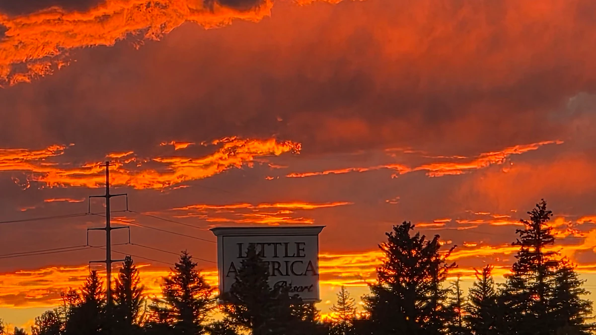 Don Day's Wyoming Weather Forecast: Sunday, October 25, 2026
Chance of rain and snow in parts of Wyoming on Sunday, otherwise partly sunny. Partly cloudy to cloudy skies overnight. Rain and snow possible in some areas. Highs mainly in the 40s and low 50s. Lows from the low 20s to…
-
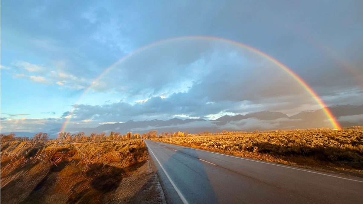 Don Day's Wyoming Weather Forecast: Saturday, October 24, 2026
October 24, 2026less than a minute read Coy KnobelOctober 23, 2026 Coy KnobelOctober 22, 2026 Coy KnobelOctober 21, 2026 Coy KnobelOctober 20, 2026
-
 El Nino will impact SE Wyoming weather, state's ACT scores mixed
Good morning, and Happy Friday! According to reporter Alyssa Tolman's summary of the NWS 2026-27 winter outlook, a developing El Niño could bring increased chances for snowfall to Cheyenne later in the winter and into…
-
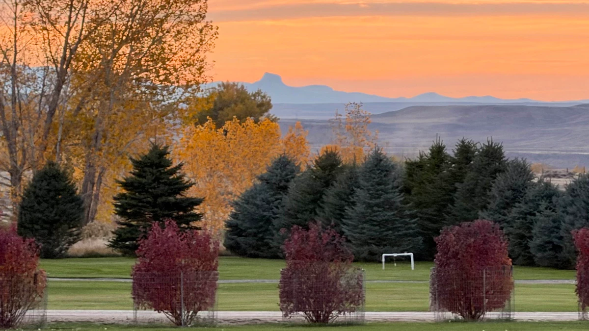 Don Day's Wyoming Weather Forecast: Friday, October 23, 2026
Sunny in some areas of Wyoming on Friday and rain possible in others. Windy. Breezy overnight with a chance of rain and snow in some areas. Highs from the upper 40s to near 80. Lows from the mid 20s to near 40. Casper…
-
 #Drought news October 22, 2026: Improvements occurred across portions of #Kansas, #Nebraska, #Colorado, #Wyoming, #Utah, #Arizona and #NewMexico
Drought news October 22, 2026: Improvements occurred across portions of #Kansas, #Nebraska, #Colorado, #Wyoming, #Utah, #Arizona and #NewMexico coyotegulch.blog Click on a thumbnail graphic to view a gallery of drought…
-
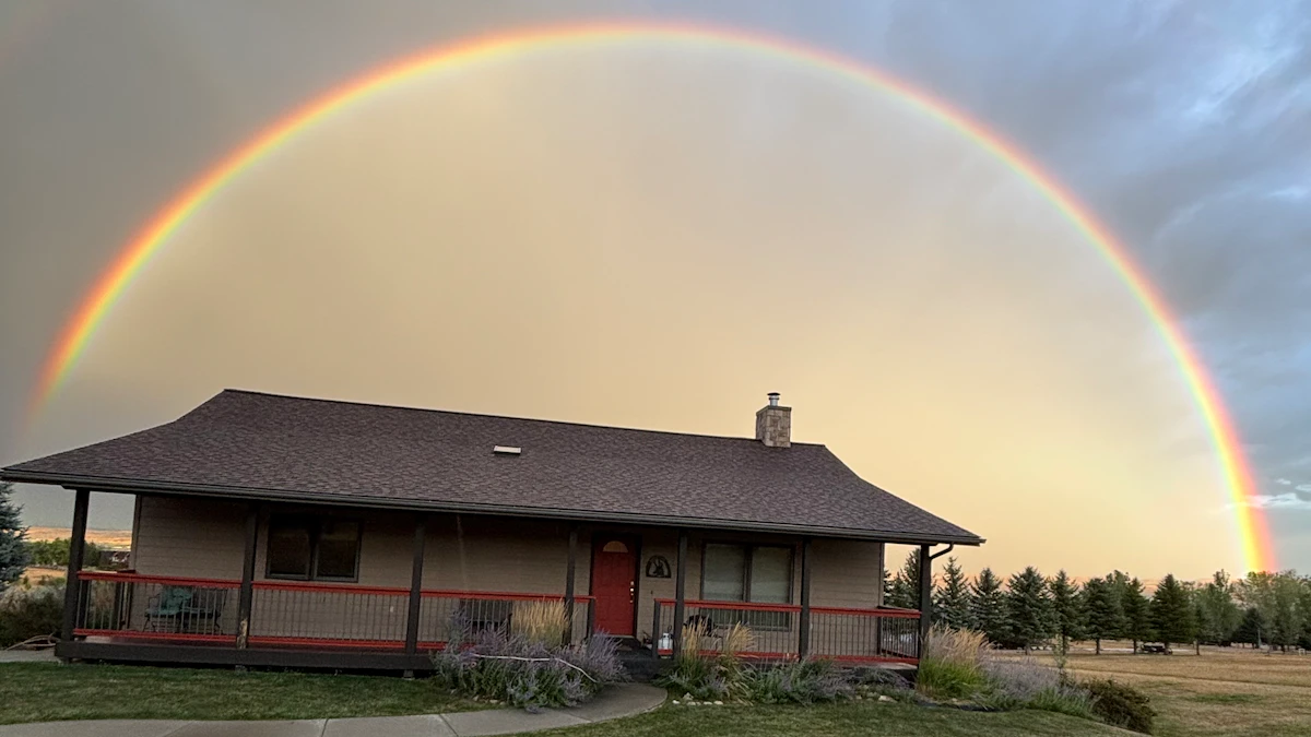 Don Day's Wyoming Weather Forecast: Thursday, October 22, 2026
Chance of rain, cloudy in parts of Wyoming on Thursday. Partly to mostly cloudy overnight with a chance of rain in some areas. Highs in the 60s and 70s. Lows from the mid 30s to mid 50s. Casper: Partly sunny and breezy…
-
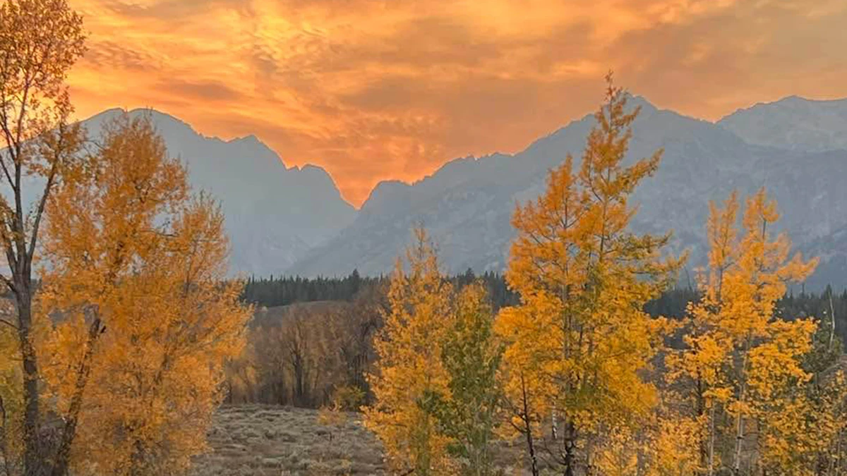 Don Day's Wyoming Weather Forecast: Wednesday, October 21, 2026
Mostly sunny to sunny in Wyoming on Wednesday. Mix of clear and cloudy skies overnight. Highs in the 60s and 70s. Lows mainly in the 30s and 40s. Casper: Gradually becoming sunny today with a high near 73 and wind gusts…
-
 Very Strong El Nino Could Be Good News For SE Wyoming Drought
Southeast Wyoming can expect better days as El Niño boosts winter temperatures and snowfall. KGAB Very Strong El Nino Could Be Good News For SE Wyoming Drought The National Oceanic and Atmospheric Administration says a…
-
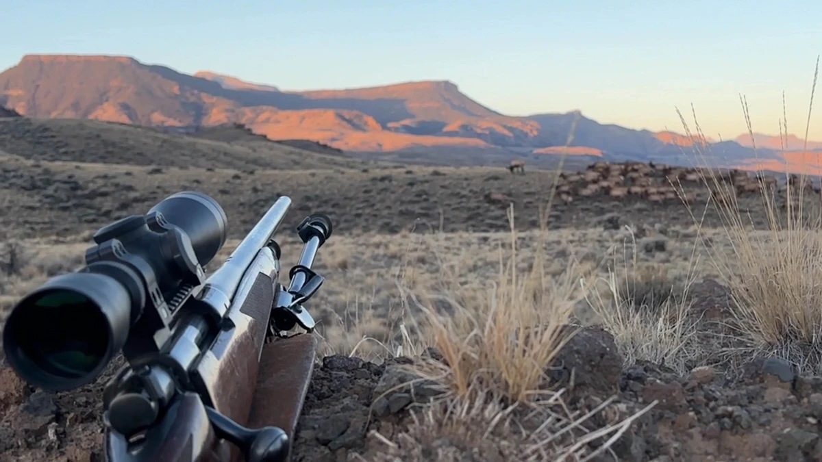 Don Day's Wyoming Weather Forecast: Tuesday, October 20, 2026
Mostly sunny to sunny in Wyoming on Tuesday. Partly cloudy to mostly clear overnight. Highs from the upper 50s to low 70s. Lows from the low 30s to mid-40s. Casper: Sunny and breezy today with a high near 69 and wind…
-
 Balmy SE Wyoming Temperatures Expected, Rain Possible Friday
Breezy conditions expected across Cheyenne and Laramie as autumn weather settles in. KGAB Balmy SE Wyoming Temperatures Expected, Rain Possible Friday The Cheyenne Office of the National Weather Service is predicting…
Air quality
Air quality is satisfactory, and air pollution poses little or no risk.
Cheyenne, WY reporting area · 1 hr ago. Data from AirNow (EPA and its state, local and tribal partners); preliminary and subject to change.
Sun & moon
Almanac
MonthlyCheyenne Area, records since 1872. Normals 1991–2020. Data from NOAA's Regional Climate Centers (ACIS).
Nearby
- Cheyenne 4 km
- Wellington 49 km
- Ranchettes 12 km
- South Greeley 2 km
Forecasters' discussion
From the National Weather Service office in CYS, issued 3 hrs ago
Key Messages
- Widespread rain showers and mountain snowfall expected through Monday morning as a central Pacific system lifts northeast across the region.
- Near normal temperatures and a bit warmer by Tuesday through Thursday, but the next Pacific system will be approaching from the eastern Pacific later in the week.
Short Term
Issued at 129 AM MDT Mon Oct 26 2026
Much welcomed rainfall is ongoing across SE Wyoming and the Nebraska Panhandle at this hour associated an amplified open wave and a region of diffluence aloft. Latest MRMS QPE has estimated as much as 0.60" of rainfall has fallen across portions of Carbon and Albany Counties, with totals closer to 0.20" in Cheyenne. Amounts have been much lighter across the Panhandle at this time, which is expected to ramp up overnight into Monday morning as the shortwave trough lifts to the north and east.
Current surface observations show ENE upslope flow east of the Laramie Range, with temperatures mainly in the upper 30s to low 40s under low cloud cover, likely keeping our temperatures well above freezing through the overnight period. Radar imagery has shown quite a bit of bright banding this evening and overnight (ring of enhanced reflectivity collocated with reduced correlation coefficient), meaning that the melting layer isn't terribly far above the surface, so wouldn't be surprised to see some melting flakes mixed in with some of the heavier showers primarily across northern regions of the Panhandle, although no snow accumulation is expected. 00Z analysis combined with latest model guidance shows the main axis of isentropic ascent/warm advection gradually shifting more to the east over our Nebraska Panhandle counties towards sunrise, therefore expect precipitation coverage to increase through the night. Latest SPC Mesoanalysis shows a narrow region of 100-250 J/Kg of MUCAPE draped along the I-80 corridor across Kimball and Cheyenne Counties, so cannot rule out a lightning strike or two with some weak, embedded elevated convection, however decided to keep thunder out of the grids due to < 15% confidence and low coverage. High resolution ensemble guidance has median QPF ranging from 0.30" across the NW Panhandle, to as high as 0.75" further south and east, with lighter amounts across SE Wyoming in addition to what we have currently received. This seems reasonable given PWAT at the 99th percentile for this time of year, as we have a lot of total column moisture to work with. While certainly not a drought-buster, this is excellent moisture for drought-stricken areas as the current drought monitor has our region ranging anywhere from moderate (D1) to exceptional drought (D4). Expect precipitation coverage to gradually decrease from west to east as we head into the daytime on Monday morning, with SE Wyoming likely being dry come mid morning, and regions of the Nebraska Panhandle seeing precipitation exit the area by early afternoon. Low cloud cover may be stubborn tomorrow given the upslope flow regime, so high temperatures are expected to remain mainly in the 40s east of the Laramie Range, and low 50s to the west where fewer clouds are expected. One exception will be across the northern Panhandle where clouds and precipitation will stick around the longest, and ENE upslope flow will keep clouds banked up against the Pine Ridge.
Into Monday night, mostly dry conditions will prevail as this system exits our region and weak mid-level shortwave ridging builds in. Under the subsident flow and light winds, cannot rule out some low clouds east of the I-25 corridor given the damp soils, light winds, and residual moisture. Will let the day shift evaluate the potential for fog coverage Monday night into Tuesday morning as confidence remains too low at this time.
Tuesday will begin our warming trend as the flow regime becomes more WSW ahead of a trough located over the Pacific Northwest. As the ridge builds to our east, expect much milder day with high temperatures expected to reach the low 60s east of the I-25 corridor, with low to mid 50s to the west of the Laramie Range. Dry conditions are expected into Tuesday with temperatures largely remaining above freezing. Effective radiative cooling during the overnight period will be limited as 700 mb cross-barrier flow ramps up to 40-50 knots, which will increase our wind speeds at the surface into Tuesday morning.
Long Term
Issued at 129 AM MDT Mon Oct 26 2026
Medium Range models remain in good agreement for much of mid to late week as weak to moderate southwest flow aloft dominates the weather pattern across the northern Front Range. With a lack of Pacific (shortwave) energy embedded in the mean southwest flow aloft through Friday, expect generally dry conditions and mild temperatures Wednesday through Friday as the polar jet stream will remain well to the north, and the subtropical jet should stay well south of the region near the Mexico/USA border and into Texas. Since southeast Wyoming and western Nebraska will be in between storm tracks, relatively mild temperatures are expected through the end of the week with afternoon highs in the upper 50s to upper 60s. Temperatures should peak Friday afternoon as 700mb temperatures climb over 5c ahead of the next Pacific storm system moving onshore, with a few locations possibly reaching 70 degrees east of the Interstate 25 corridor.
Deterministic models are in better agreement for next weekend, but ensembles still depict relatively low confidence with precipitation chances...mainly due to the evolution and speed of the Pacific energy moving onshore. Thankfully, with the Pacific energy trending a little slower, Halloween evening looks decent with maybe a few rain showers in the evening. Temperatures should be relatively mild for this time of the year in the upper 30s to upper 40s between sunset and 10:00 PM. Winds appear light and variable and should result in a pleasant evening. Models do show the first of a series of upper level disturbances lifting northward across the area on Halloween, but the system is pretty progressive with the best dynamics located north and west of the I-25 corridor. A more potent system is forecast to arrive on Sunday and continue early next week. Model solutions and ensemble members diverge significantly with this storm system, so will not go into too much detail at this time. However, temperatures will trend cooler and likely below average for this time of the year by next Sunday and Monday.
Aviation
Issued at 550 AM MDT Mon Oct 26 2026
A Pacific storm system will lift northeast across the area this morning bringing widespread rainfall to the eastern high plains and some mountain snow. Persistent low clouds and some fog possible through tonight behind the storm.
HAZARDS/WEATHER TRENDS: A long duration IFR to LIFR event expected for most of the eastern plains today and tonight. Moderate to locally heavy rainfall, some snow mixing in at times, and low CIGS will continue this morning for all western Nebraska terminals. Once the storm lifts northeast of the region this afternoon, rain will gradually end from south to north with brief lifting of CIGS to MVFR possible. However, surface moisture will remain over the area into tonight due to light winds and continued upslope flow, therefore there is a 25% to 50% chance of IFR CIGS returning to most of the Nebraska terminals after 01z Tuesday. Can't rule out some fog, but kept out of the TAF for now due to probabilities below 20%.
For southeast Wyoming, VFR conditions expected for KRWL and KLAR as the storm system lifts northeast. KCYS will be on the fringe, but expect off/on light rain and LIFR CIGS and VIS below 3 miles for much of this morning, improving between 17z and 20z.
Forecasts, observations and alerts in the United States come from the National Weather Service (NOAA); radar from NOAA's Multi-Radar Multi-Sensor system; satellite imagery from NASA's Global Imagery Browse Services (GIBS) and NOAA's GOES satellites; the map from the U.S. Geological Survey's National Map; air quality from AirNow (EPA and its partners); hurricane information from the National Hurricane Center; climate normals and records from NOAA's Regional Climate Centers (ACIS). Forecasts outside the United States and the UV index: MET Norway (CC BY 4.0); observations outside the U.S.: airport reports via NOAA's Aviation Weather Center. Place names: GeoNames (CC BY 4.0). Data are copied on a schedule and may lag the sources; for warnings that affect your safety, follow your local National Weather Service office and emergency officials. Weather news is drawn from the 4Search index and reflects what the press published. Terms of use. How to use Weather