Install
Jasper, TX Weather
Current conditions
Observed at Jasper, Jasper County-Bell Field Airport · 1 hr ago
Forecast
10-day-
Wednesday
Sunny, with a high near 84. Northeast wind 0 to 5 mph.
-
Wednesday Night
Clear, with a low around 53. Northeast wind around 0 mph.
-
Thursday
Sunny, with a high near 86. Northeast wind 0 to 5 mph.
National Weather Service forecast updated 1 day ago.
Hourly
Hourly forecast- Now82°
- 4 PM82°
- 5 PM82°
- 6 PM78°
- 7 PM75°
- 8 PM71°
- 9 PM67°
- 10 PM63°
- 11 PM61°
- Thu12 AM59°
- 1 AM58°
- 2 AM57°
- 3 AM56°
- 4 AM56°
- 5 AM54°
- 6 AM53°
- 7 AM54°
- 8 AM58°
- 9 AM63°
- 10 AM69°
- 11 AM74°
- 12 PM78°
- 1 PM81°
- 2 PM84°
10-day forecast
Details- TueOct 20Sunny55°83°
- TodayOct 21Sunny53°84°
- ThuOct 22Sunny54°86°
- FriOct 23Sunny54°86°
- SatOct 24Sunny56°85°
- SunOct 25Mostly Sunny56°82°
- MonOct 26Mostly Sunny56°84°
- TueOct 27Cloudy62°75°
- WedOct 28Cloudy60°76°
- ThuOct 29Sunny58°79°
Days after the National Weather Service's seven are MET Norway's outlook, a computer model with no forecaster's review.
Radar
Full mapWeather news near Jasper
More weather news-
 Dry conditions continue, but it feels nice outside
FIRST ALERT: LIMITED FIRE RISK THIS WEEK There is a fire risk in our area today, and this will continue through the rest of the work week. Dew points are currently sitting in-between the upper 30s to low 40s, which…
-
 Chicago area weather: Frost Advisory as temps fall into the 30s tonight
CHICAGO - A nice weekend is underway with sunny skies and cool, fall-like temperatures. Today’s high temperatures will be in the upper 50s. Chicago’s average high temperature for October 17th is 62 degrees, so we’re a…
-
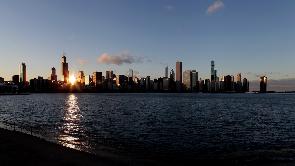 Frost advisory issued for parts of Chicago area, with frigid temps possible
Warm temps set to return, too The Chicago area will have to deal with another night of chilly temperatures, and parts of the region will be under a frost advisory overnight. According to the National Weather Service…
- Weather alert for winds in Lowcountry until Saturday evening
Hilton Head Island Packet The creation of this content included the use of AI based on templates created, reviewed and edited by journalists in the newsroom. Read more on our AI policy here. The NWS Charleston SC issued…
-
 Nelson Lagoon, AK Weather Forecast – Hourly & 15-Day
Now · 7:30 PM United States · Alaska · 99571 Microscopic particles that can penetrate deep into the lungs. Elevated concentrations can especially affect children, older adults and people with respiratory conditions…
-
 Rensselaer, IN Weather Forecast – Hourly & 15-Day
United States · Indiana ✓Air quality is favorable for outdoor activities. ✓Air quality is acceptable for most people. Sunglasses and sun protection are recommended for prolonged exposure. Air quality is acceptable for…
-
 Baldwin, PA Weather Forecast – Hourly & 15-Day
Now · 6:33 PM United States · Pennsylvania · 15227 ✓Air quality is favorable for outdoor activities. Microscopic particles that can penetrate deep into the lungs. Elevated concentrations can especially affect children…
-
 Gloucester, MA Weather Forecast – Hourly & 15-Day
United States · Massachusetts Air quality is favorable for outdoor activities. ✓Air quality is acceptable for most people. Sunglasses and sun protection are recommended for prolonged exposure. Air quality is acceptable…
-
 Tuckasegee, NC Weather Forecast – Hourly & 15-Day
United States · North Carolina Air quality is favorable for outdoor activities. ✓Air quality is acceptable for most people. Sunglasses and sun protection are recommended for prolonged exposure. Air quality is acceptable…
-
 Greenwood, IN Weather Forecast – Hourly & 15-Day
United States · Indiana ✓Air quality is favorable for outdoor activities. ✓Air quality is acceptable for most people. Sunglasses and sun protection are recommended for prolonged exposure. Air quality is acceptable for…
Sun & moon
Almanac
MonthlyTown Bluff Dam, records since 1953. Normals 1991–2020. Data from NOAA's Regional Climate Centers (ACIS).
Nearby
- Woodville 43 km
- Newton 24 km
- Buna 54 km
- Kirbyville 31 km
Forecasters' discussion
From the National Weather Service office in LCH, issued 2 hrs ago
Key Messages
- No rain anticipated through the rest of the week with cool mornings and warm afternoons each day.
- Fire danger will remain elevated through this week with ongoing drought conditions and minimum RH values ranging as low as 25 to 45 percent during the afternoons.
- Northeast to East winds will remain elevated in the coastal waters.
Discussion
(Today through Tuesday) Issued at 1201 AM CDT Wed Oct 21 2026
Wx Map features a large high pressure cell over the Canadian / US border today. Modest ridging extends across the Central Plains to the Gulf coast keeping conditions here locally dry and mild. Highs will range in the lower 80s with mostly clear skies- sans a few upper level cloud from moisture wicked up from the eastern Pacific. Other than that we are expecting Chambers of Commerce weather, quiet, sunny, and pleasantly not humid. However, the lack of rainfall will prove to be problematic over the next several days concerning the worsening drought and fire weather concerns.
Temperatures do rise Thursday and Friday as a subtropical ridge strengthens the surface ridge extending south from Canada. Increased subsidence aloft will promote highs in the mid 80s with zero chance for rainfall. This pattern will also keep winds light with periods of northeast to east breezes. The ridge continues to amplify through the weekend creating an Omega Block across the CONUS. This type of pattern generally favors portions of the continent to have more rainfall while other areas observe less. Since Southeast Texas and Southwest Louisiana will be in the center axis of the ridge, the forecast will stay dry here into next week while highs return close to normal, in the low 80s. Mornings will feel nice for those who enjoy a crisp early workout. Those low temperatures occurring around 6-7AM will range in upper 40s across central portions of Louisiana and interior Southeast Texas to mid or upper 50s for the coastal counties and parishes.
Kowalski / 30
Aviation
(18Z TAFS) Issued at 1215 PM CDT Wed Oct 21 2026
VFR conditions prevail throughout the valid TAF period with no significant weather-related impacts expected to any terminals. Light northeasterly winds at 5-10 kt will diminish to near calm after sunset tonight, then increase back to 5-10 kt after sunrise Thursday.
64/Silas
Marine
Issued at 1201 AM CDT Wed Oct 21 2026
Gentle to Moderate east winds continue across the offshore Gulf waters this afternoon into evening as a wave moves westward across the central Gulf. Winds of 10-15 kt and seas 2-4 feet will be possible. Thereafter, high pressure over the eastern US will yield east to northeast winds at 5-15 kt with low seas through the weekend and into next week.
Forecasts, observations and alerts in the United States come from the National Weather Service (NOAA); radar from NOAA's Multi-Radar Multi-Sensor system; satellite imagery from NASA's Global Imagery Browse Services (GIBS) and NOAA's GOES satellites; the map from the U.S. Geological Survey's National Map; air quality from AirNow (EPA and its partners); hurricane information from the National Hurricane Center; climate normals and records from NOAA's Regional Climate Centers (ACIS). Forecasts outside the United States and the UV index: MET Norway (CC BY 4.0); observations outside the U.S.: airport reports via NOAA's Aviation Weather Center. Place names: GeoNames (CC BY 4.0). Data are copied on a schedule and may lag the sources; for warnings that affect your safety, follow your local National Weather Service office and emergency officials. Weather news is drawn from the 4Search index and reflects what the press published. Terms of use.