Install
Homestead Meadows South, TX Weather
Current conditions
Forecast for this hour (no station report in the last two hours)
Forecast
10-day-
Monday
A slight chance of showers and thunderstorms after noon. Partly sunny, with a high near 73. East southeast wind around 7 mph. Chance of precipitation is 20%.
-
Monday Night
A slight chance of rain showers after midnight. Partly cloudy, with a low around 54. Chance of precipitation is 20%.
-
Tuesday
Mostly sunny, with a high near 71.
National Weather Service forecast updated 4 days ago.
Hourly
Hourly forecast- Now73°19%
- 4 PM73°19%
- 5 PM72°19%
- 6 PM71°14%
- 7 PM69°14%
- 8 PM66°14%
- 9 PM64°14%
- 10 PM62°14%
- 11 PM60°14%
- Tue12 AM59°15%
- 1 AM58°15%
- 2 AM57°15%
- 3 AM56°15%
- 4 AM55°15%
- 5 AM54°15%
- 6 AM54°
- 7 AM55°
- 8 AM57°
- 9 AM59°
- 10 AM62°
- 11 AM65°
- 12 PM68°
- 1 PM69°
- 2 PM70°
10-day forecast
Details- ThuOct 22Partly Sunny30%66°84°
- FriOct 23Mostly Sunny then Chance Showers And Thunderstorms73%60°84°
- SatOct 24Mostly Sunny then Showers And Thunderstorms Likely79%57°79°
- SunOct 25Mostly Sunny then Chance Showers And Thunderstorms58%55°76°
- TodayOct 26Partly Sunny then Slight Chance Showers And Thunderstorms19%54°73°
- TueOct 27Mostly Sunny53°71°
- WedOct 28Mostly Sunny18%54°72°
- ThuOct 29Cloudy55°70°
- FriOct 30Heavy showers0.53 in53°66°
- SatOct 31Partly cloudy51°70°
Days after the National Weather Service's seven are MET Norway's outlook, a computer model with no forecaster's review.
Radar
Full mapWeather news in Texas
More weather news-
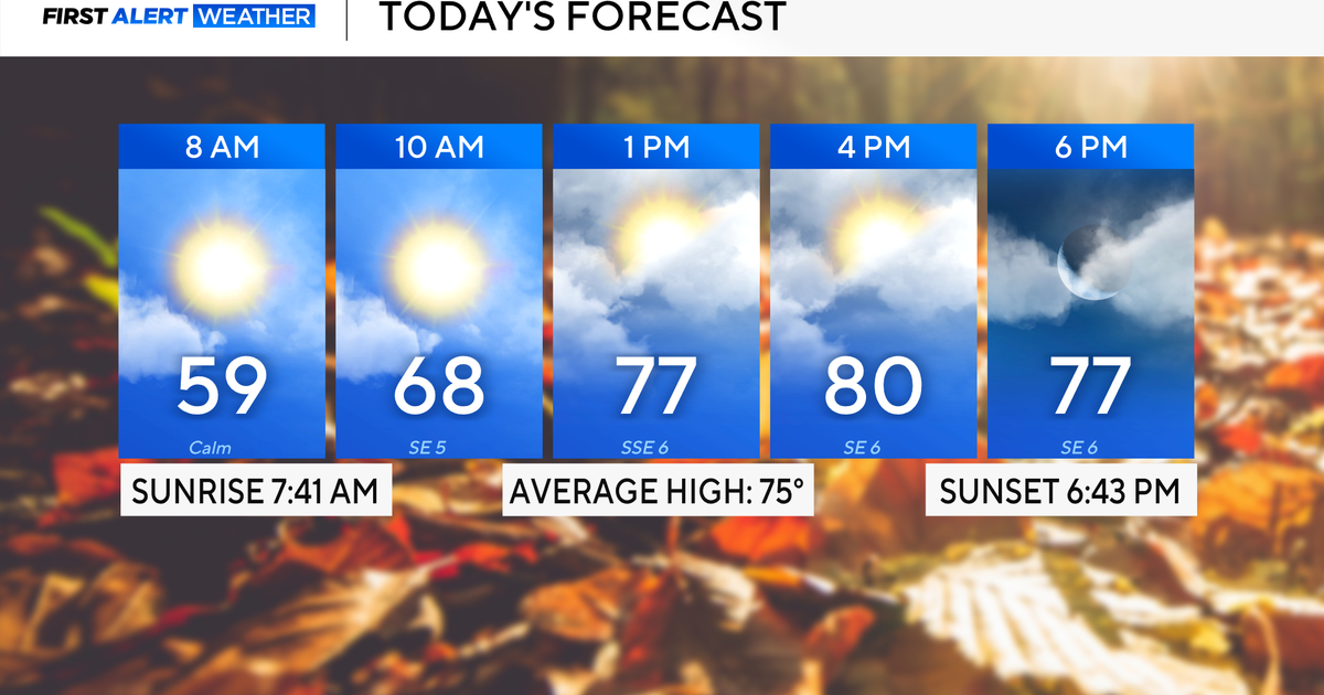 Rain chances on the rise for North Texas this week
October 26, 2026 / 8:16 AM CDT / CBS Texas North Texas woke up to partly to mostly cloudy skies and high temperatures in the 50s and 60s. You'll want to grab that light jacket as you head out the door. We'll continue to…
-
 Severe storms may bring flooding to Texas this week
Heavy rain is likely to continue across the Texas Panhandle on Oct. 26, 2026, bringing even a possibility of flash flooding, per the National Weather Service. After a rainy Sunday, wet weather will likely continue to…
-
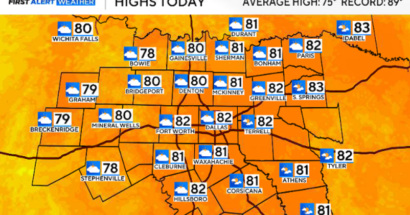 North Texas gets a warm, mild Sunday ahead of clouds and wind this week
October 25, 2026 / 6:51 AM CDT / CBS Texas Expect a warm and dry stretch of weather in North Texas over the next few days, with highs staying in the 80s, but we will see a pattern change as rain chances move in around…
-
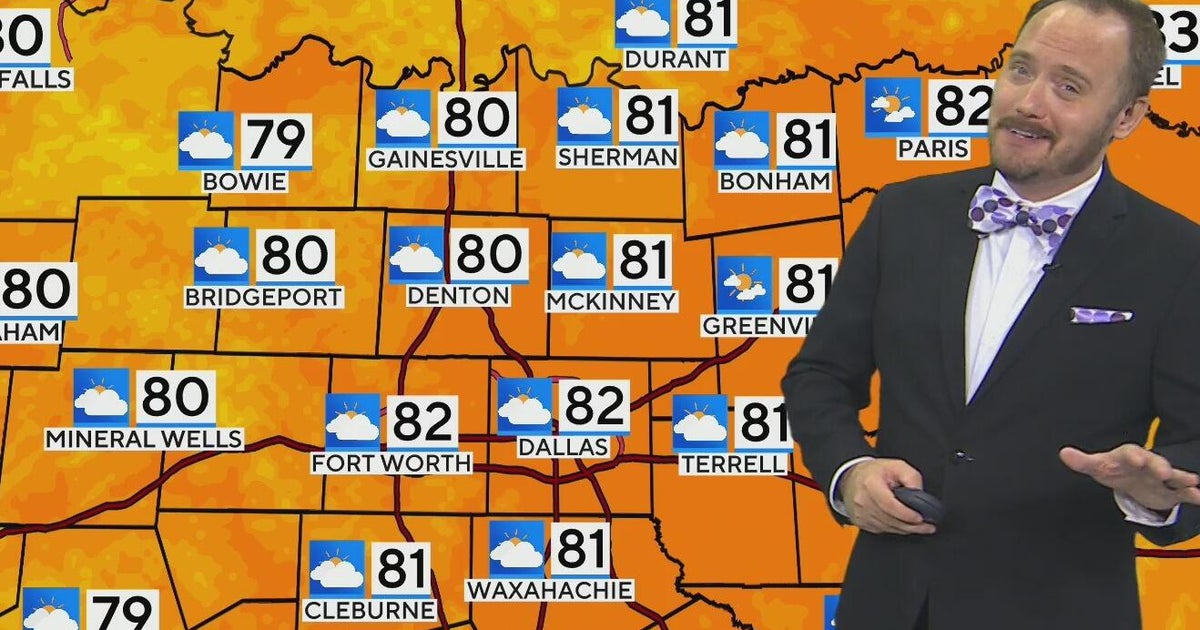 Warm, mild Sunday ahead for North Texas
CBS News Bay Area Morning Edition Weekend 6am WBZ This Morning 8am CBS Colorado Mornings Weekend CBS News Los Angeles Weekend 6am CBS Miami News Sunday Morning CBS News New York Sunday 8am KDKA News This Morning Sunday…
-
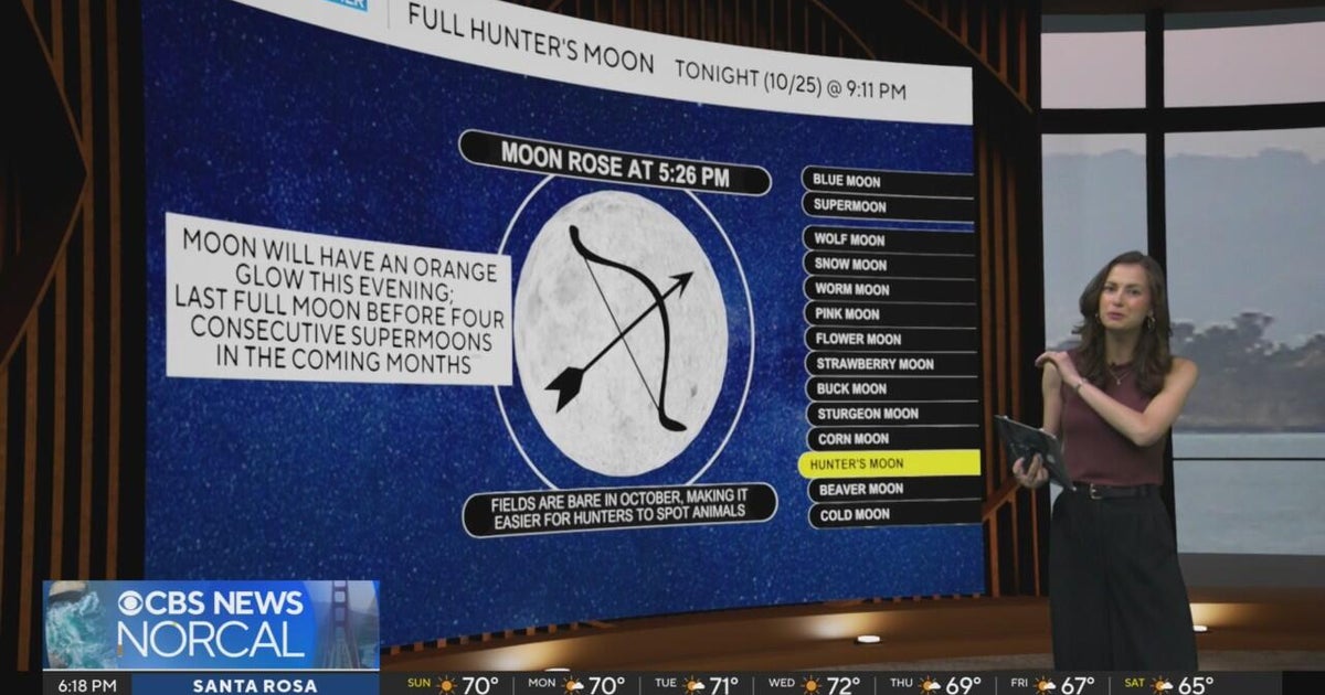 First Alert Weather Sunday evening forecast 10-25-26
CBS News Bay Area Evening Edition Weekend 6pm CBS News Detroit Weekend 6:30pm CBS News Miami 6:30pm CBS Philadelphia at 6:30pm KDKA News Weekend 10pm Your Community Stories From Your Reporters CBS News Texas 5:30pm
-
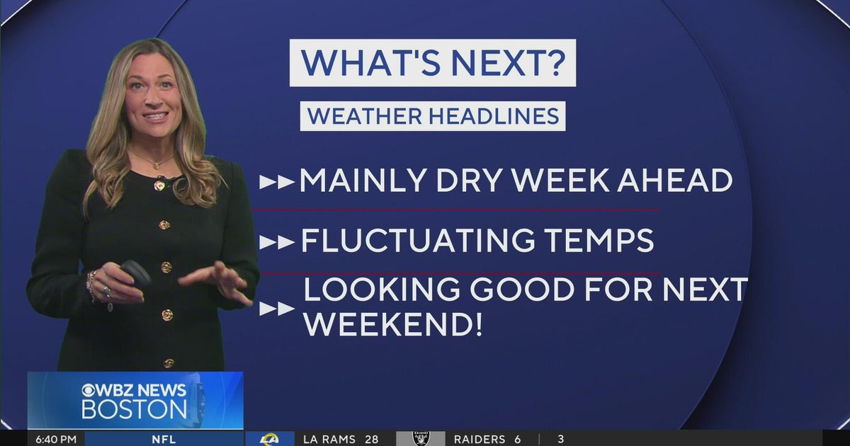 Next Weather: WBZ Evening Update for Oct. 25
CBS News Colorado Weekend 5pm CBS News Detroit Weekend 6:30pm CBS News Miami 6:30pm CBS Philadelphia at 6:30pm KDKA News Weekends 6:30pm CBS News Texas 5:30pm
-
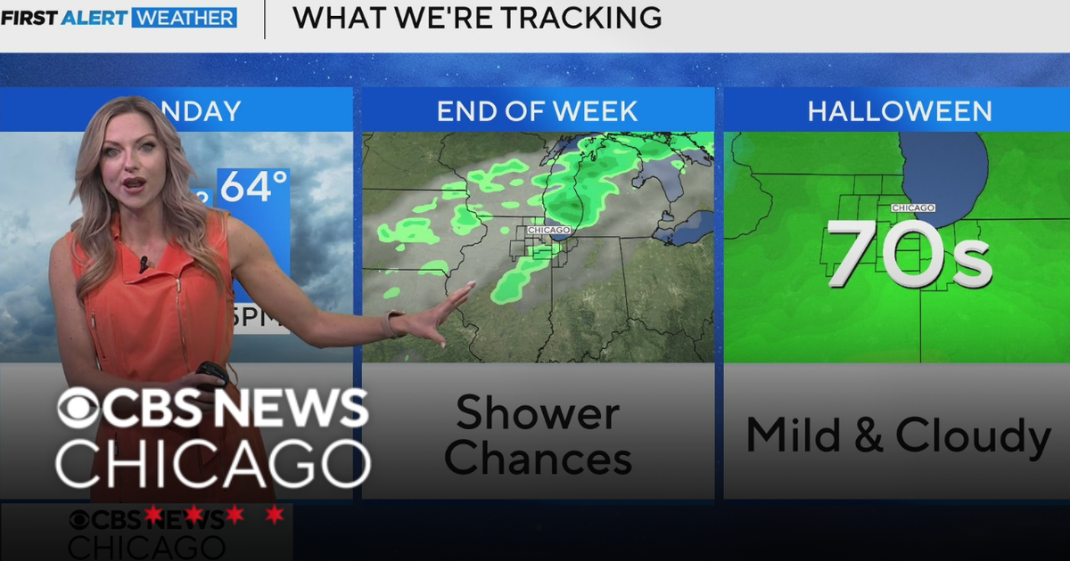 Areas of fog in Chicago Sunday night
CBS News Colorado Weekend 5pm CBS News Detroit Weekend 6:30pm CBS News Miami 6:30pm CBS Philadelphia at 6:30pm KDKA News Weekends 6:30pm CBS News Texas 5:30pm
-
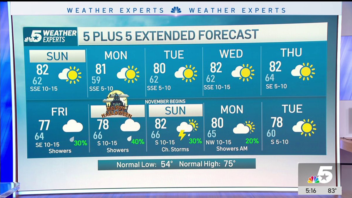 NBC 5 Forecast: A quiet weather pattern continues for North Texas
NBC 5 Dallas-Fort Worth NBC 5 Forecast: A quiet weather pattern continues for North Texas NBC 5 Forecast: Above normal temps, but still nice NBC 5 Forecast: Cool mornings and pleasant afternoons for North Texas
-
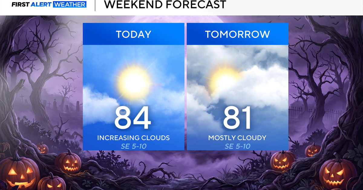 North Texas seeing rain chances return next week
October 24, 2026 / 7:21 AM CDT / CBS Texas North Texas was off to a seasonable start on Saturday morning, with temperatures mainly in the 50s. Temperatures will remain above average this weekend, with highs in the lower…
-
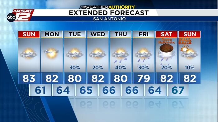 Mild Fall weather continues as rain returns to the forecast
Best opportunity for showers and storms arrives Thursday and Friday, while Halloween rain chances remain uncertain. High clouds will continue to drift across South Central Texas through Monday, but dry air will keep…
Air quality
Acceptable. Unusually sensitive people should consider limiting prolonged outdoor exertion.
Forecast
- MonModerate
- TueGood
- WedGood
El Paso, TX reporting area · 1 hr ago. Data from AirNow (EPA and its state, local and tribal partners); preliminary and subject to change.
Sun & moon
Almanac
MonthlyEl Paso Area, records since 1887. Normals 1991–2020. Data from NOAA's Regional Climate Centers (ACIS).
Nearby
- Ciudad Juárez 30 km
- El Paso 31 km
- Socorro 22 km
- Socorro Mission Number 1 Colonia 23 km
- Horizon City 14 km
- Sunland Park 39 km
- Chaparral 32 km
- Anthony 47 km
- San Elizario 27 km
- Fort Bliss 23 km
- Fabens 34 km
- Canutillo 43 km
Forecasters' discussion
From the National Weather Service office in EPZ, issued 4 hrs ago
Key Messages
Updated at 1114 AM MDT Mon Oct 26 2026
- Slight chance of showers and thunderstorms continue for Hudspeth and Otero Counties this afternoon/evening. A few storms may be strong and capable of localized flooding.
- A brief stretch of drier weather Tuesday and Wednesday before rain chances return Thursday into next weekend.
- Temperatures will remain near normal with lowland highs in the lower to mid 70s.
Discussion
Issued at 1114 AM MDT Mon Oct 26 2026
WV imagery shows one short wave over eastern New Mexico and continuing to lift northeast, while another short wave just south of the CWA will move into the eastern CWA this afternoon. This feature could allow a few thunderstorms to develop, mostly over Otero and Hudspeth Counties this afternoon and evening. Moisture and instability still look respectable, so a few of these storms could approach severe (mainly for hail).
Looks like we should finally get a brief break from the rain and storms for Tuesday and Wednesday as west flow and drier air set up across the area south of the upper low cutting through the Pac NW and northern Rockies. Temperatures should remain just above normal.
Thursday into the weekend...sub-tropical jet becomes more active and brings several impulses across the eastern Pacific to northern Mexico and our CWA. This will turn upper flow more southwest while mid-level flow turns more southerly and begins bringing more sub- tropical moisture back to the area. One impulse moves up to the CWA Thursday afternoon/evening to return a chance of showers/thunderstorms to the area. Another short wave moves in Friday for another chance of rain late in the day. Saturday may be dry as it looks like the day in-between systems. A better defined trough moves toward the area Sunday reaching SoCal by Sunday afternoon with a chance of rain in the west late in the day. This period with the showers/thunderstorms looks to have less potential for severe weather than we have experienced the past several days. GFS shows only very modest CAPE values and shear environment looks relatively weak.
The trough moves through the area Monday for area wide chances of rain, with models then showing a longer period of dry weather after Monday.
Aviation
(18Z TAFS) Issued at 1114 AM MDT Mon Oct 26 2026
VFR conditions expected through the period with SCT080 SCT-BKN150 BKN250. Developing after 21Z, mostly over Otero and Hudsepth Counties...isolated OVC060CB -TSRA. A few of these storms could produce large hail and wind gusts of 40-50 knots. The storms should be mostly ended by 06Z. KEPZ/KLRU have non-zero chances of storms tonight but not enough to include in their TAFs.
Fire Weather
Issued at 1114 AM MDT Mon Oct 26 2026
Not much in the way of concerns for fire weather this week, as other than a brief dry spell Tuesday and Wednesday, we remain in the pattern for chances of rain through the weekend. There will a slight chance of thunderstorms this evening over the Sacramento/Capitan Mtns this evening before the mid-week dry spell. No significant winds are expected this week outside of erratic winds near thunderstorms.
Min RHs: Lowlands 25% west to 45% east through Wednesday, increasing to 40s-50% all lowlands Thursday into the weekend. Gila/Black Range...25-35% through Thursday increasing to 50-70% Friday and the weekend. Sacramento/Capitan Mtns...40-55% through Thursday, increasing to 55-75% Friday and the weekend. Vent rates poor-fair through Saturday.
Forecasts, observations and alerts in the United States come from the National Weather Service (NOAA); radar from NOAA's Multi-Radar Multi-Sensor system; satellite imagery from NASA's Global Imagery Browse Services (GIBS) and NOAA's GOES satellites; the map from the U.S. Geological Survey's National Map; air quality from AirNow (EPA and its partners); hurricane information from the National Hurricane Center; climate normals and records from NOAA's Regional Climate Centers (ACIS). Forecasts outside the United States and the UV index: MET Norway (CC BY 4.0); observations outside the U.S.: airport reports via NOAA's Aviation Weather Center. Place names: GeoNames (CC BY 4.0). Data are copied on a schedule and may lag the sources; for warnings that affect your safety, follow your local National Weather Service office and emergency officials. Weather news is drawn from the 4Search index and reflects what the press published. Terms of use. How to use Weather