Install
Henrietta, TX Weather
Current conditions
Forecast for this hour (no station report in the last two hours)
Forecast
10-day-
This Afternoon
Sunny, with a high near 83. Southeast wind around 5 mph.
-
Tonight
Mostly clear, with a low around 58. Southeast wind around 5 mph.
-
Friday
Mostly sunny, with a high near 83. South southeast wind 2 to 10 mph, with gusts as high as 18 mph.
National Weather Service forecast updated 1 hr ago.
Hourly
Hourly forecast- Now81°
- 4 PM83°
- 5 PM81°
- 6 PM80°
- 7 PM76°
- 8 PM71°
- 9 PM68°
- 10 PM66°
- 11 PM64°
- Fri12 AM63°
- 1 AM62°
- 2 AM61°
- 3 AM60°
- 4 AM60°
- 5 AM59°
- 6 AM58°
- 7 AM58°
- 8 AM58°
- 9 AM61°
- 10 AM68°
- 11 AM73°
- 12 PM77°
- 1 PM79°
- 2 PM80°
10-day forecast
Details- TodayOct 22Sunny58°83°
- FriOct 23Mostly Sunny58°83°
- SatOct 24Mostly Sunny60°82°
- SunOct 25Partly Sunny57°80°
- MonOct 26Partly Sunny22%58°78°
- TueOct 27Chance Rain Showers25%55°74°
- WedOct 28Mostly Sunny15%56°76°
- ThuOct 29Cloudy0.06 in53°68°
- FriOct 30Cloudy48°67°
- SatOct 31Cloudy0.06 in57°65°
Days after the National Weather Service's seven are MET Norway's outlook, a computer model with no forecaster's review.
Radar
Full mapWeather news in Texas
More weather news-
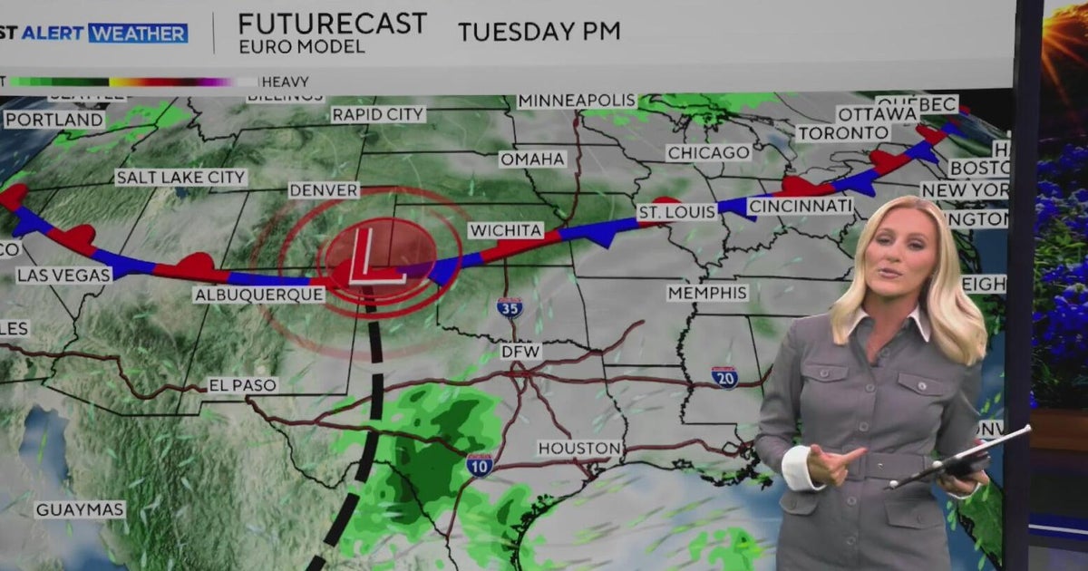 Warm, sunny weather continues in North Texas before clouds return
North Texas will continue enjoying above-average temperatures and sunny skies through the end of the workweek, with highs climbing into the mid-80s by Friday. Clouds begin moving in on Sunday, bringing a little less…
-
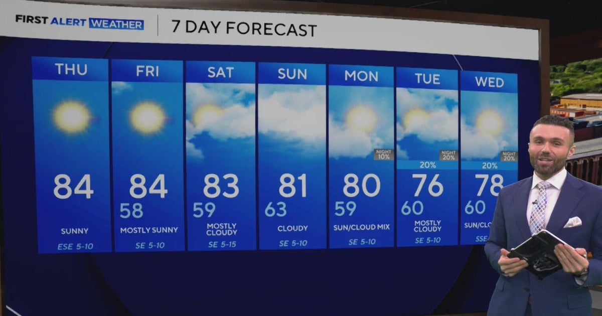 Cloudy, warm weekend on deck as temperatures stay in the low 80s in North Texas
CBS News Baltimore 8am CBS News Boston 8am CBS News Chicago 7am CBS News Colorado This Morning 6am CBS News Los Angeles Mornings 5am CBS News Miami 8am CBS News New York 8am CBS News Texas 7am
-
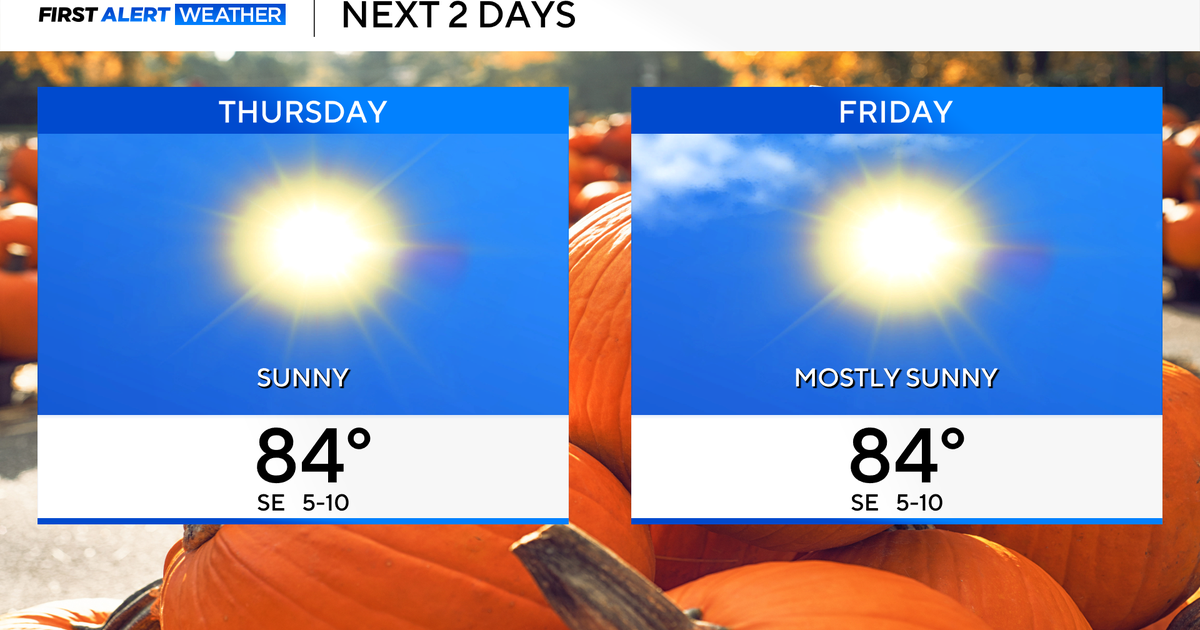 Temperatures to stay in 80s through weekend as clouds increase across North Texas
October 22, 2026 / 7:57 AM CDT / CBS Texas Temperatures are in the 50s and low 60s when you step outside to start your day. The forecast is almost identical to Wednesday, with sunshine and highs in the 80s in store for…
-
 The Biggest Weather Myths About Texas We All Believe are True
(Tyler, Texas) - I have always been fascinated by our weather in East Texas. Even when we think we've got it down what it's going to do outside, it changes on us five minutes later. It makes it hard for us to figure out…
-
 Hail, flooding and cold front headed for parts of Texas. Here's where.
Severe weather could bring large hail to West Texas. Parts of Texas could face several days of severe weather, with storms kicking off today and potentially lasting through the weekend. Scattered to numerous…
-
 Cold front may plummet Texas temperatures. Here's when
Cold front barreling toward Texas may plummet temps. Here's when MySA San Antonio isn't headed for a permanent cool-down just yet, but cold front after cold front has been providing some relief from summer-like…
-
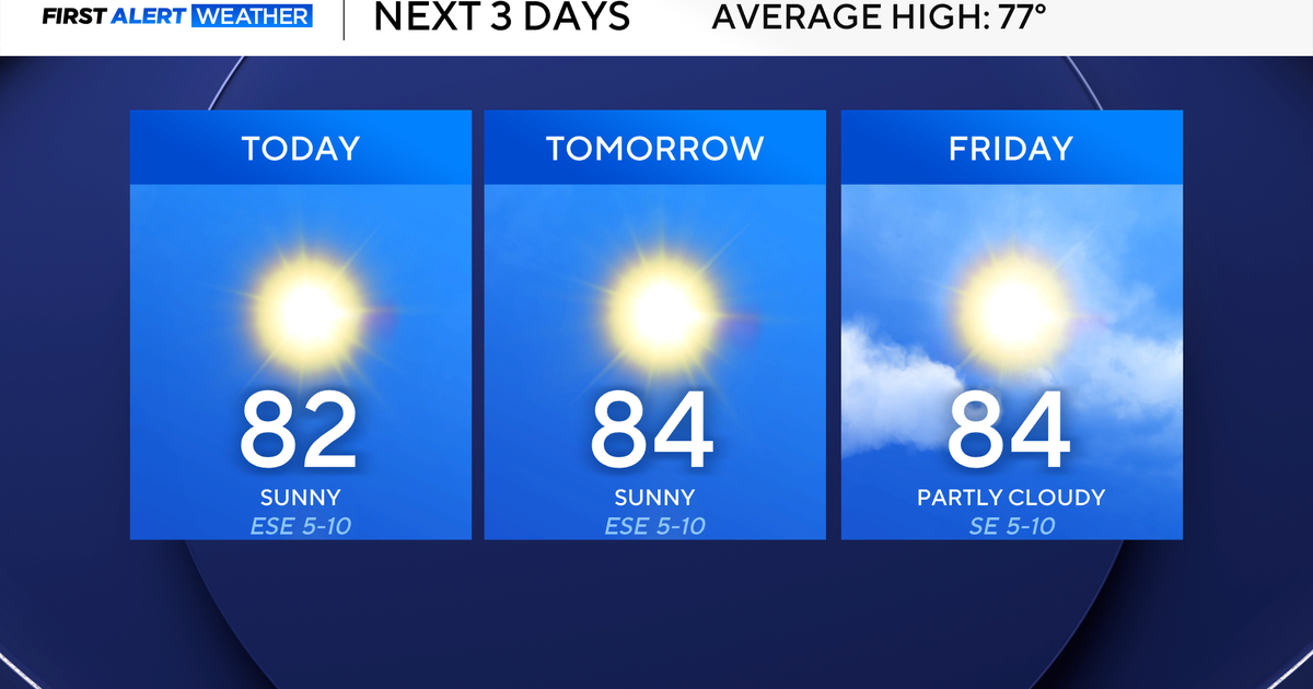 North Texas highs remain in the low 80s to close the work week
October 21, 2026 / 7:29 AM CDT / CBS Texas Wednesday morning temperatures were once again in the 50s in North Texas, providing another refreshing start. Be sure to grab a jacket for this morning and have the sunglasses…
-
 Could El Niño bring an early freeze across Texas? Here’s a look.
The first freeze across South and Central Texas normally arrives during late November to early December, but El Niño can sometimes bring an earlier freeze to the regions. Last week’s cold front brought the chilliest air…
-
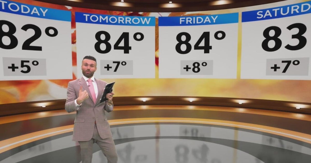 North Texas high temps set to hit the low 80s to end the week
CBS News Baltimore 8am CBS News Boston 8am CBS News Chicago 7am CBS News Colorado This Morning 6am CBS News Los Angeles Mornings 5am CBS News Miami 8am CBS News New York 8am CBS News Texas 7am
-
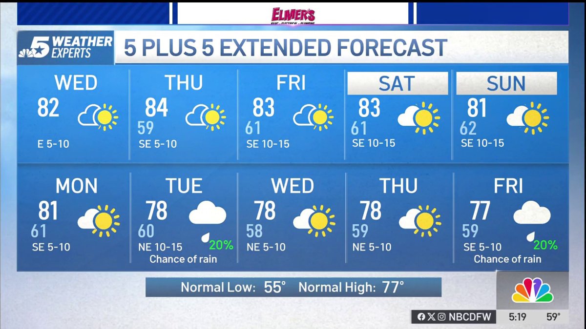 NBC 5 Forecast: A quiet weather pattern continues for North Texas
NBC 5 Dallas-Fort Worth NBC 5 Forecast: A quiet weather pattern continues for North Texas
Sun & moon
Almanac
MonthlyWichita Falls Area, records since 1908. Normals 1991–2020. Data from NOAA's Regional Climate Centers (ACIS).
Nearby
- Wichita Falls 30 km
- Burkburnett 47 km
- Iowa Park 46 km
- Bowie 43 km
- Nocona 44 km
Forecasts, observations and alerts in the United States come from the National Weather Service (NOAA); radar from NOAA's Multi-Radar Multi-Sensor system; satellite imagery from NASA's Global Imagery Browse Services (GIBS) and NOAA's GOES satellites; the map from the U.S. Geological Survey's National Map; air quality from AirNow (EPA and its partners); hurricane information from the National Hurricane Center; climate normals and records from NOAA's Regional Climate Centers (ACIS). Forecasts outside the United States and the UV index: MET Norway (CC BY 4.0); observations outside the U.S.: airport reports via NOAA's Aviation Weather Center. Place names: GeoNames (CC BY 4.0). Data are copied on a schedule and may lag the sources; for warnings that affect your safety, follow your local National Weather Service office and emergency officials. Weather news is drawn from the 4Search index and reflects what the press published. Terms of use.