Install
Jersey Shore, PA Weather
Current conditions
Forecast for this hour (no station report in the last two hours)
Forecast
10-day-
Sunday
Patchy frost before 9am. Sunny, with a high near 65.
-
Sunday Night
Mostly clear, with a low around 38.
-
Monday
Mostly sunny, with a high near 68.
National Weather Service forecast updated 4 days ago.
Hourly
Hourly forecast- Now62°
- 3 PM64°
- 4 PM65°
- 5 PM64°
- 6 PM61°
- 7 PM56°
- 8 PM52°
- 9 PM49°
- 10 PM46°
- 11 PM44°
- Mon12 AM43°
- 1 AM42°
- 2 AM41°
- 3 AM40°
- 4 AM39°
- 5 AM39°
- 6 AM38°
- 7 AM38°
- 8 AM39°
- 9 AM43°
- 10 AM48°
- 11 AM53°
- 12 PM58°
- 1 PM62°
10-day forecast
Details- WedOct 21Sunny32°65°
- ThuOct 22Widespread Frost then Sunny35°66°
- FriOct 23Patchy Fog then Sunny31°60°
- SatOct 24Widespread Frost then Sunny31°62°
- TodayOct 25Patchy Frost then Sunny38°65°
- MonOct 26Mostly Sunny43°68°
- TueOct 27Partly Sunny11%38°62°
- WedOct 28Cloudy0.03 in46°61°
- ThuOct 29Partly cloudy49°64°
- FriOct 30Rain0.17 in49°60°
Days after the National Weather Service's seven are MET Norway's outlook, a computer model with no forecaster's review.
Radar
Full mapWeather news near Jersey Shore
More weather news-
 Another Nor’easter Is Brewing Off the Coast. Here’s What It Means for the Jersey Shore This Week.
If you thought the nor’easter from last month had us covered for a while, think again. There’s another storm forming off the coast. Here’s what you should know. The good news: this storm is not expected to follow the…
-
 Quiet weather for NJ this week, but an angry ocean along the Jersey Shore
A Coastal Flood Advisory has been issued for tidal waterways along the Jersey Shore starting Tuesday, as 2+ feet of surge could cause minor category flooding at high tide. The surf will become quite rough this week too…
-
 Another nor'easter could soon be dumping on the Jersey Shore
Just a few weeks after the Jersey Shore was hammered by a nor'easter, another coastal storm is on the way to mid-Atlantic states this week, including parts of coastal South Jersey, bringing gusty winds, beach erosion…
-
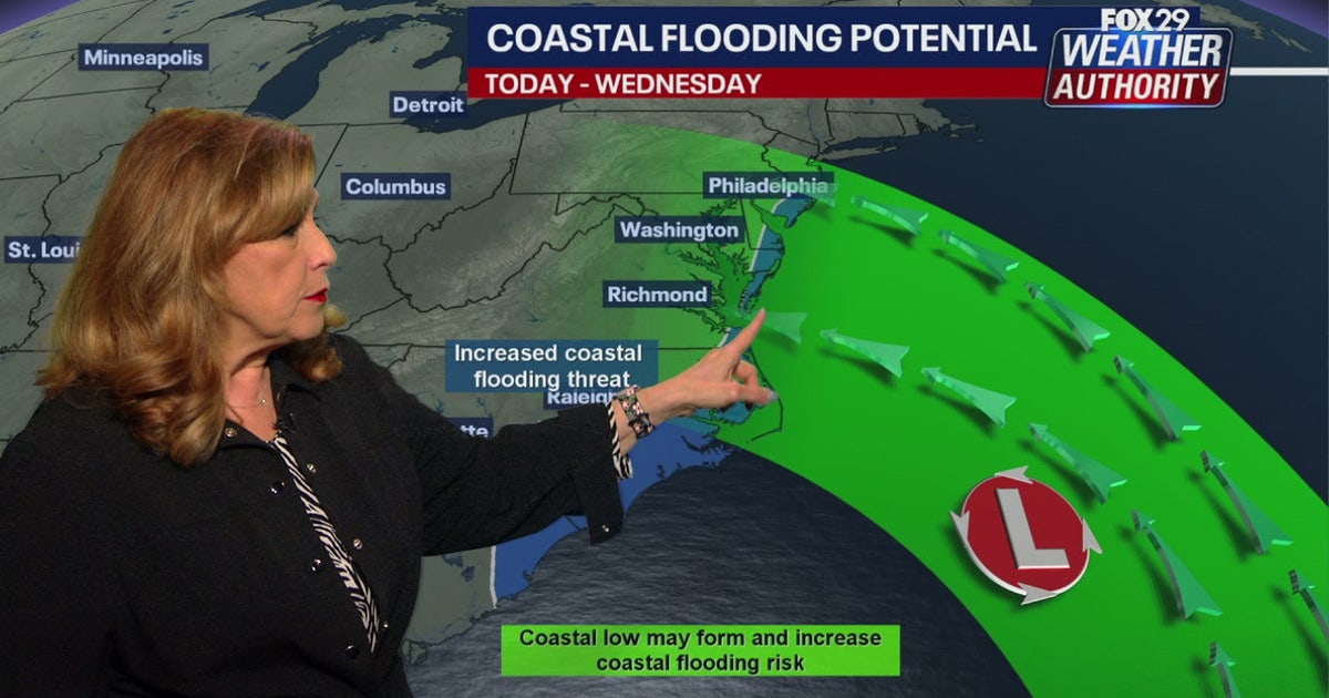 Coastal flooding threat looms for New Jersey, Delaware as nor'easter develops offshore
A developing nor'easter off the Carolina coast is expected to stay offshore but will still bring high winds, heavy surf, and possible coastal flooding along the Jersey Shore and Delaware beaches this week. PHILADELPHIA…
-
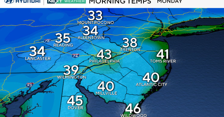 Monday starts chilly to kick off a sunny week in Philadelphia area. Here's the weather forecast.
October 19, 2026 / 12:24 AM EDT / CBS Philadelphia We're off to a chilly start in the Philadelphia area Monday morning, with areas of frost possible, especially north and west of I-95. Temperatures will rebound nicely…
-
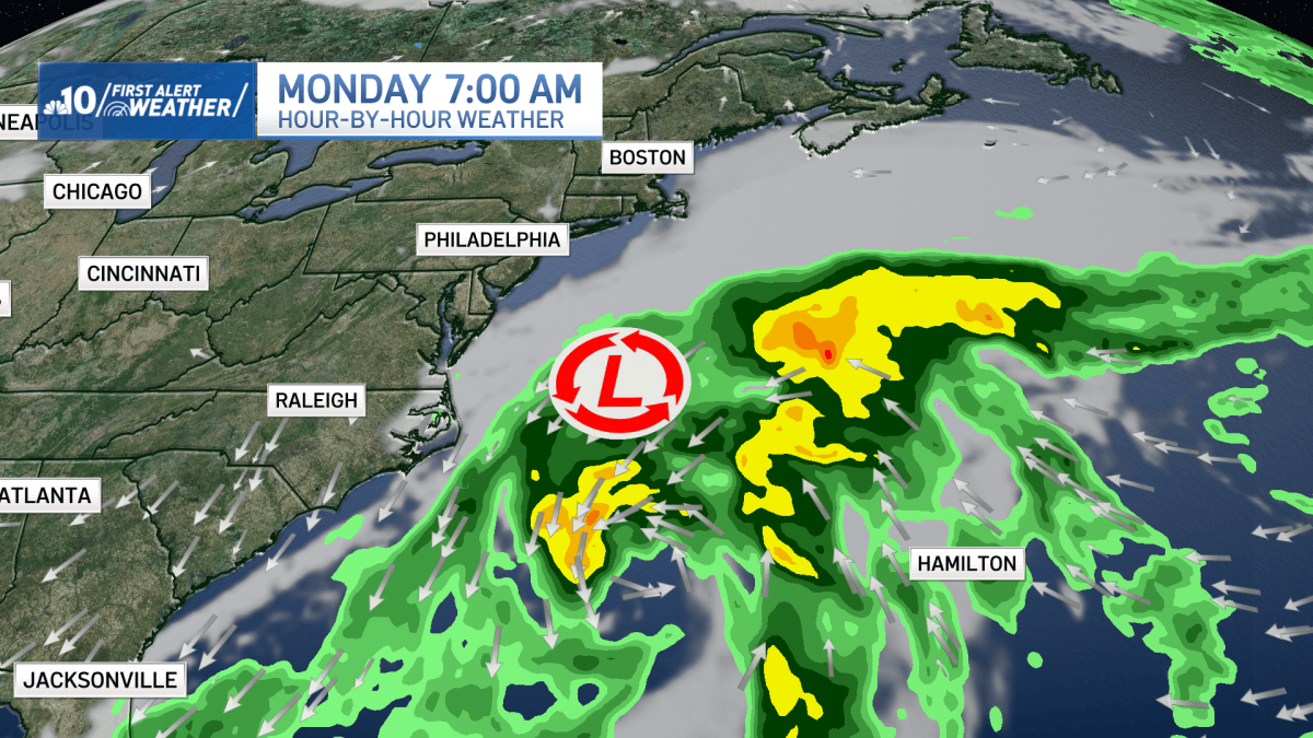 Close call Nor'easter midweek, otherwise beautiful
Temperatures will continue to be chilly Sunday night and into the overnight hours. NBC10 First Alert Meteorologist Justin Godynick has the full forecast. Monday is mostly sunny, and beautiful. Expect highs in the upper…
-
 New Jersey nor’easter threat grows as N.C. orders evacuations tonight
The freeze is only the first part of the forecast. Forecasters are also watching a slow moving nor’easter that could bring days of coastal flooding to the Jersey Shore next week. The warning covers Hunterdon, Morris…
-
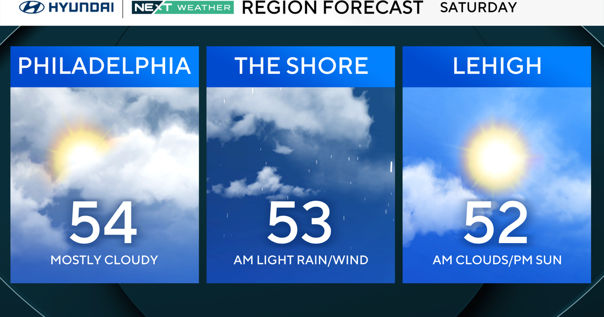 Philadelphia region sees more than 20-degree drop in temperatures Saturday. Here's the weather forecast.
October 17, 2026 / 12:00 AM EDT / CBS Philadelphia Gone are the 70s and 80s, and now the Philadelphia region will see temperatures in the mid-50s Saturday, which will be more than 20 degrees colder than Friday and…
-
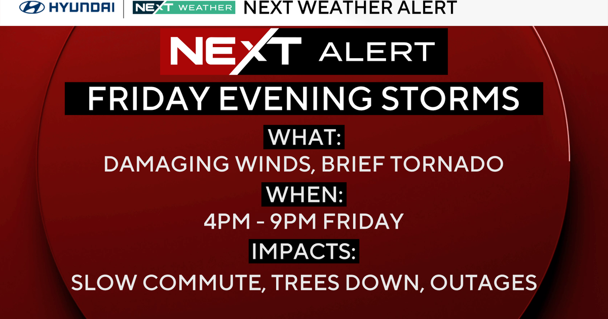 Timing out risk of severe storms in Philadelphia region Friday. Here's the weather forecast.
October 16, 2026 / 12:00 AM EDT / CBS Philadelphia A NEXT Weather Alert has been issued for Friday and Sunday morning for the Philadelphia region. The potential for severe storms will hit the region Friday, and then the…
-
 Another East Coast storm will be the focus heading into next week
In brief: A potential storm off the East Coast may move slowly next week, kicking up surf and tides along the Eastern Seaboard. There is some chance it could become a tropical system. This may be a long winter of…
Air quality
Air quality is satisfactory, and air pollution poses little or no risk.
Forecast
- SunGood (40)
- MonGood (40)
- TueGood
Williamsport, PA reporting area · 1 hr ago. Data from AirNow (EPA and its state, local and tribal partners); preliminary and subject to change.
Sun & moon
Almanac
MonthlyWilliamsport Area, records since 1895. Normals 1991–2020. Data from NOAA's Regional Climate Centers (ACIS).
Nearby
- Williamsport 22 km
- Sunbury 55 km
- Lock Haven 17 km
- Milton 41 km
- South Williamsport 22 km
- Bellefonte 54 km
- Selinsgrove 56 km
- Lewisburg 41 km
- Montoursville 29 km
- Kenmar 26 km
- Northumberland 52 km
- Mifflinburg 36 km
Forecasters' discussion
From the National Weather Service office in CTP, issued 10 hrs ago
What Has Changed
* No significant changes
Key Messages
1) Rain-free conditions will persist through the end of October and could even extend into the first few days of November
Discussion
KEY MESSAGE 1: Rain-free conditions will persist through the end of October and could even extend into the first few days of November
A large area of high pressure will remain in place over the Northeast U.S. and Central Appalachians, maintaining mainly clear skies and rain-free conditions right through the upcoming week.
Moderate variations will occur in daily and nocturnal temperatures as at least one weak, dry cold fronts move SE across the Commonwealth during the upcoming 5-6 days. Wind direction/speed and cloud cover will also show some minor day- day variations.
The first of the aforementioned dry cold fronts will slip SE across the CWA Monday night into early Tuesday, but with only limited moisture to work with, just some periods of BKN, shallow strato cu and cirrus will occur with no rainfall expected beyond a few sprinkles over the Northern Mtns Monday night.
After a brief shot of seasonably cool air Tuesday and Wed (directed mainly at the NE half of the state), a late week/Saturday rebound in temps (to well above normal values in the low-mid 60s across the Mtns and upper 60s to mid 70s in the Central and Southern Valleys) will follow. A second, weak frontal boundary could brush by across the Northern tier counties Friday afternoon and night.
Aviation
High pressure over the area will result in clear skies and light winds into Sunday and predominantly VFR conditions well into the upcoming week. Under a strong inversion early this morning, there could be an isolated thin layer of haze and fog at any location, as was the case just before sunrise at AOO on Saturday. Williamsport sees the highest chance of valley fog with probabilities standing at 30-40 pct this morning and again Monday morning.
Outlook...
Mon-Thu...VFR prevailing conditions.
Forecasts, observations and alerts in the United States come from the National Weather Service (NOAA); radar from NOAA's Multi-Radar Multi-Sensor system; satellite imagery from NASA's Global Imagery Browse Services (GIBS) and NOAA's GOES satellites; the map from the U.S. Geological Survey's National Map; air quality from AirNow (EPA and its partners); hurricane information from the National Hurricane Center; climate normals and records from NOAA's Regional Climate Centers (ACIS). Forecasts outside the United States and the UV index: MET Norway (CC BY 4.0); observations outside the U.S.: airport reports via NOAA's Aviation Weather Center. Place names: GeoNames (CC BY 4.0). Data are copied on a schedule and may lag the sources; for warnings that affect your safety, follow your local National Weather Service office and emergency officials. Weather news is drawn from the 4Search index and reflects what the press published. Terms of use. How to use Weather