Install
Selinsgrove, PA Weather
Current conditions
Forecast for this hour (no station report in the last two hours)
Forecast
10-day-
Sunday
Areas of frost and patchy fog before 9am. Sunny, with a high near 64.
-
Sunday Night
Clear, with a low around 35.
-
Monday
Sunny, with a high near 69.
National Weather Service forecast updated 2 days ago.
Hourly
Hourly forecast- Now33°
- 7 AM33°
- 8 AM34°
- 9 AM39°
- 10 AM44°
- 11 AM50°
- 12 PM55°
- 1 PM59°
- 2 PM61°
- 3 PM63°
- 4 PM64°
- 5 PM63°
- 6 PM59°
- 7 PM53°
- 8 PM51°
- 9 PM48°
- 10 PM44°
- 11 PM42°
- Mon12 AM40°
- 1 AM40°
- 2 AM39°
- 3 AM38°
- 4 AM38°
- 5 AM37°
10-day forecast
Details- ThuOct 22Sunny39°63°
- FriOct 23Sunny31°61°
- SatOct 24Widespread Frost then Sunny33°62°
- TodayOct 25Areas Of Frost then Sunny35°64°
- MonOct 26Sunny42°69°
- TueOct 27Mostly Sunny38°64°
- WedOct 28Partly Sunny42°62°
- ThuOct 29Cloudy0.11 in45°64°
- FriOct 30Sunny38°55°
- SatOct 31Sunny35°54°
Days after the National Weather Service's seven are MET Norway's outlook, a computer model with no forecaster's review.
Radar
Full mapWeather news in Pennsylvania
More weather news-
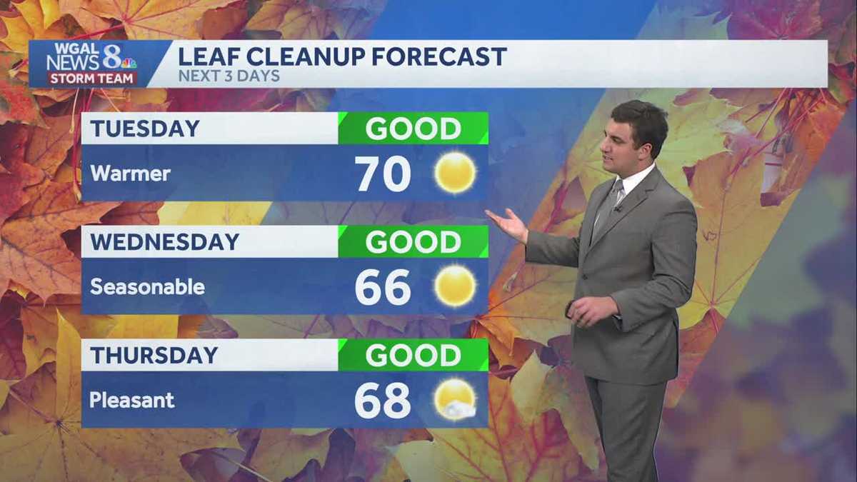 Seasonable sunshine and temperatures continue throughout the week in south central Pennsylvania
At or above average temperatures and 10 days of dry weather ahead. Tuesday looks to be the warmest day of the workweek. Expect bright blue skies and highs climbing to around 70 degrees. From Wednesday through Friday…
-
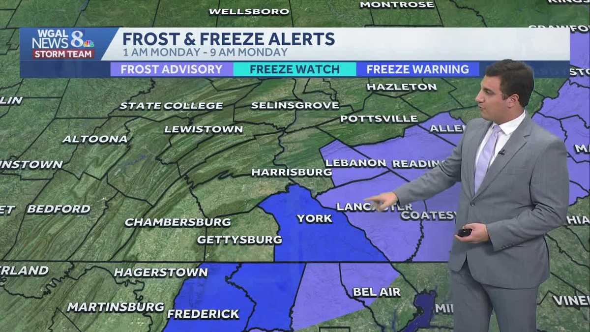 Impact: Frost & freeze alerts issued for some on Sunday night; sunny stretch next week in south central Pennsylvania
Another chilly and frosty night across south central Pennsylvania with lows dropping into the 30s. The National Weather Service has issued freeze warnings and frost advisories for parts of the Susquehanna Valley where…
-
 More wet and windy weather to follow stormy weekend
Choppy seas and large waves crashing up onshore in Aberystwyth, Ceredigion Storm Boelo will continue to batter parts of the UK on Sunday but the fierce autumn weather shows no sign of clearing quickly. After two named…
-
 Storm Boelo: warnings in place in Scotland, Northern Ireland and north of England as high winds batter UK
Met Office reports gusts of 80mph in exposed coastal spots and advises people in affected areas to stay indoors Strong winds have battered Scotland, Northern Ireland and northern England overnight, as Storm Boelo hit…
-
 Rain on Halloween? L.A. could have its first wet Halloween in a decade
The reprieve from rain is expected to last just a few more days as forecasters warn of another storm system that could bring Los Angeles its first rainy Halloween since 2014. It’s still too far out to know the exact…
-
 ‘Unusually large’ multi-state storm causing severe weather for Australia’s east – with more on the way
BoM predicts hail, damaging winds, flash flooding and power outages across southern Queensland, western NSW, the ACT and eastern Victoria on Sunday afternoon Large parts of eastern Australia were put on alert for severe…
-
 First Alert Weather: Freezing temps overnight for some parts of New York - 10/24/26
CBS News - The 5:33 | Legacy of the LIRR Massacre - On The Dot with David Schechter: Wildfires & Climate Change First Alert Weather: Freezing temps overnight for some parts of New York - 10/24/26 Trump, Obama make…
-
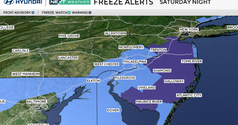 Frosty start to Sunday in Philadelphia region; fabulous fall weather for Eagles-Cowboys Monday
October 24, 2026 / 11:38 PM EDT / CBS Philadelphia Sunday will be a beautiful fall day in the Philadelphia region with plenty of sunshine, light winds and temperatures beginning to moderate after another frosty start…
-
 Scattered clouds for Saturday night in Chicago
CBS News Bay Area Evening Edition Weekend 5pm CBS News Philadelphia 7:30pm KDKA News at 7 CBS13 News Weekend 5pm CBS News Texas Saturday 5pm
-
 First Alert Weather: Sun and clouds Saturday in New York - 10/24/26
CBS News - The 5:33 | Legacy of the LIRR Massacre - On The Dot with David Schechter: Wildfires & Climate Change First Alert Weather: Sun and clouds Saturday in New York - 10/24/26 First Alert Weather: Near normal temps…
Air quality
Air quality is satisfactory, and air pollution poses little or no risk.
Forecast
- SunGood (40)
- MonGood (40)
- TueGood
Williamsport, PA reporting area · 1 hr ago. Data from AirNow (EPA and its state, local and tribal partners); preliminary and subject to change.
Sun & moon
Almanac
MonthlySelinsgrove 2 S, records since 1894. Normals 1991–2020. Data from NOAA's Regional Climate Centers (ACIS).
Nearby
- Harrisburg 58 km
- Williamsport 51 km
- Bloomsburg 41 km
- Hershey 60 km
- Pottsville 58 km
- Colonial Park 56 km
- Berwick 60 km
- Progress 57 km
- Sunbury 9 km
- Palmyra 59 km
- Shamokin 26 km
- Milton 24 km
Forecasters' discussion
From the National Weather Service office in CTP, issued 2 hrs ago
What Has Changed
* No significant changes
Key Messages
1) Rain-free conditions will persist through the end of October and could even extend into the first few days of November
Discussion
KEY MESSAGE 1: Rain-free conditions will persist through the end of October and could even extend into the first few days of November
A large area of high pressure will remain in place over the Northeast U.S. and Central Appalachians, maintaining mainly clear skies and rain-free conditions right through the upcoming week.
Moderate variations will occur in daily and nocturnal temperatures as at least one weak, dry cold fronts move SE across the Commonwealth during the upcoming 5-6 days. Wind direction/speed and cloud cover will also show some minor day- day variations.
The first of the aforementioned dry cold fronts will slip SE across the CWA Monday night into early Tuesday, but with only limited moisture to work with, just some periods of BKN, shallow strato cu and cirrus will occur with no rainfall expected beyond a few sprinkles over the Northern Mtns Monday night.
After a brief shot of seasonably cool air Tuesday and Wed (directed mainly at the NE half of the state), a late week/Saturday rebound in temps (to well above normal values in the low-mid 60s across the Mtns and upper 60s to mid 70s in the Central and Southern Valleys) will follow. A second, weak frontal boundary could brush by across the Northern tier counties Friday afternoon and night.
Aviation
High pressure over the area will result in clear skies and light winds into Sunday and predominantly VFR conditions well into the upcoming week. Under a strong inversion early this morning, there could be an isolated thin layer of haze and fog at any location, as was the case just before sunrise at AOO on Saturday. Williamsport sees the highest chance of valley fog with probabilities standing at 30-40 pct this morning and again Monday morning.
Outlook...
Mon-Thu...VFR prevailing conditions.
Forecasts, observations and alerts in the United States come from the National Weather Service (NOAA); radar from NOAA's Multi-Radar Multi-Sensor system; satellite imagery from NASA's Global Imagery Browse Services (GIBS) and NOAA's GOES satellites; the map from the U.S. Geological Survey's National Map; air quality from AirNow (EPA and its partners); hurricane information from the National Hurricane Center; climate normals and records from NOAA's Regional Climate Centers (ACIS). Forecasts outside the United States and the UV index: MET Norway (CC BY 4.0); observations outside the U.S.: airport reports via NOAA's Aviation Weather Center. Place names: GeoNames (CC BY 4.0). Data are copied on a schedule and may lag the sources; for warnings that affect your safety, follow your local National Weather Service office and emergency officials. Weather news is drawn from the 4Search index and reflects what the press published. Terms of use.