Install
Clackamas, OR Weather
Current conditions
Forecast for this hour (no station report in the last two hours)
Forecast
10-day-
Friday Night
Patchy fog after 3am. Partly cloudy, with a low around 39. Northeast wind around 1 mph.
-
Saturday
Patchy fog before 9am. Partly sunny, with a high near 63. North wind around 2 mph.
-
Saturday Night
A chance of rain after 11pm. Mostly cloudy, with a low around 42. East wind around 1 mph. Chance of precipitation is 50%. New rainfall amounts less than a tenth of an inch possible.
National Weather Service forecast updated 21 hrs ago.
Hourly
Hourly forecast- Now42°
- 3 AM41°
- 4 AM41°
- 5 AM40°
- 6 AM40°
- 7 AM39°
- 8 AM40°
- 9 AM42°
- 10 AM46°
- 11 AM50°
- 12 PM53°
- 1 PM58°
- 2 PM60°
- 3 PM61°
- 4 PM63°
- 5 PM61°
- 6 PM59°
- 7 PM55°
- 8 PM51°
- 9 PM50°
- 10 PM48°
- 11 PM47°21%
- Sun12 AM46°21%
- 1 AM46°21%
10-day forecast
Details- TonightOct 22Partly Cloudy43°
- FriOct 23Mostly Sunny39°61°
- TodayOct 24Patchy Fog then Partly Sunny49%42°63°
- SunOct 25Light Rain Likely66%45°62°
- MonOct 26Light Rain Likely68%45°62°
- TueOct 27Chance Light Rain25%43°61°
- WedOct 28Chance Light Rain29%43°62°
- ThuOct 29Slight Chance Light Rain19%63°
- FriOct 30Cloudy46°62°
- SatOct 31Cloudy45°65°
Days after the National Weather Service's seven are MET Norway's outlook, a computer model with no forecaster's review.
Radar
Full mapWeather news near Clackamas
More weather news-
 Dangerous Frost Warning Issued for 30+ Counties in Washington and Oregon as Temperatures Drop Fast
NWS Portland has issued Frost Advisories for two straight nights, Thursday night and Friday night, across northwest Oregon and southwest Washington. A Freeze Watch is also in effect Friday night for the Willamette…
-
 First Serious Freeze and Frost Possible Tonight, Friday for Oregon, Washington
Published 10/22/2026 at 8:55 p.m. By Oregon Coast Beach Connection Staff The National Weather Service (NWS) in both states have issued a bundle of advisories that involve “brrrrr” as the operative word. Not all of it is…
-
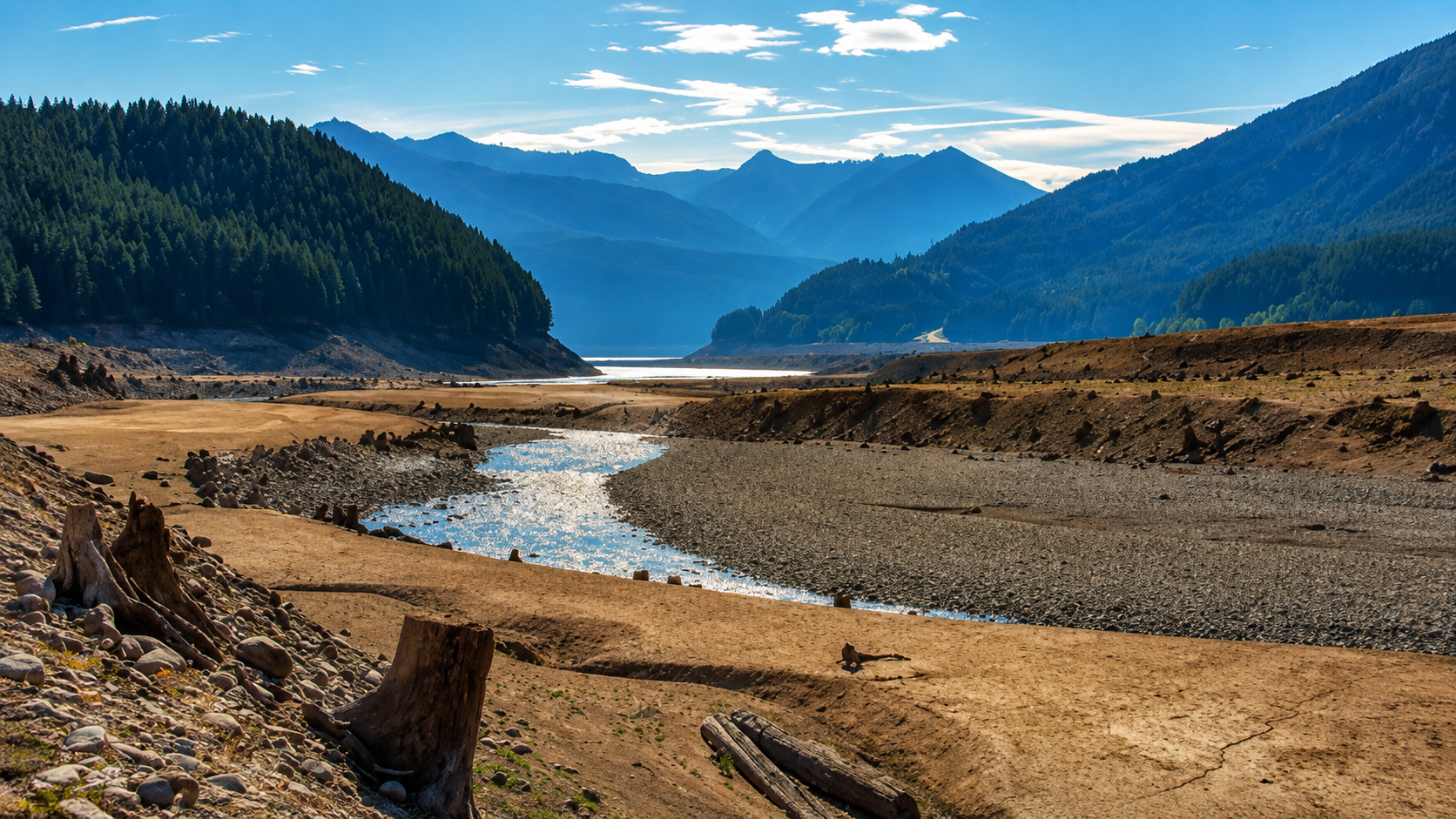 Drought Covers Nearly Nine-Tenths of Oregon as Water Concerns Carry Into Fall
Drought covers nearly nine-tenths of Oregon as the state enters its autumn recharge season with a substantial precipitation deficit, active drought emergencies across Southern Oregon and firefighters still working to…
-
 Nearly 90% of Oregon is in drought as rain year begins
PORTLAND, Ore. (KATU) — Rain has started trickling into the Pacific Northwest for the season. October 1 marks the beginning of the new rain year, and in Portland, we’ve seen about 0.1” so far through the month, which is…
-
 Tropical development possible over the next few days
KOLN | Nebraska Local News, Weather, Sports | Lincoln, NE Tropical development possible over the next few days Atkinson leads Oregon State’s high-flying offense to 48-30 win over Washington State Dogs take over…
-
 Drought, heat wave leaves Mount Hood barren by early fall
On Oct. 8, 2026, the Palmer Snowfield below the Palmer Express chairlift was almost completely bare. Timber Lodge had to close the lift on July 19, its earliest closing day. Cameron Nielsen / OPB A towering white Mount…
-
 Back to reality, much cooler this weekend
KPTV We ended up much cooler this morning than originally thought but ample sunshine and a very light east wind should help push temperatures into the mid to upper 70s. FEW SHOWERS + COOLER THIS WEEKEND Hopefully you’ve…
-
 Hopes for rain dampen as Oregon faces historically dry October
Hopes for relief from one of the driest Octobers on record have been scaled back again, as this weekend's storm is no longer expected to produce much precipitation. The National Weather Service in Portland says there's…
-
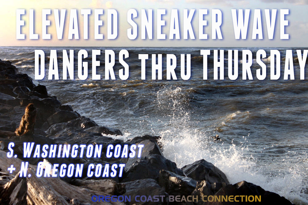 Elevated Sneaker Wave Threat Along N. Oregon Coast, S. Washington Coast
Published 10/20/2026 at 7:55 p.m. By Oregon Coast Beach Connection Staff (Waldport, Oregon) – The National Weather Service (NWS) is saying there is an increased threat of sneaker waves on the northern half of the Oregon…
-
 When should Central Oregon drivers switch to winter tires? What to know before the cold arrives
BEND, Ore. (KTVZ) — Fall is just getting underway, but now is a good time for Central Oregon drivers to start thinking about getting their vehicles ready for winter.Les Schwab says drivers planning to travel in snow…
Air quality
Air quality is satisfactory, and air pollution poses little or no risk.
Clackamas, OR reporting area · 1 hr ago. Data from AirNow (EPA and its state, local and tribal partners); preliminary and subject to change.
Sun & moon
Almanac
MonthlyPortland Area, records since 1940. Normals 1991–2020. Data from NOAA's Regional Climate Centers (ACIS).
Nearby
- Portland 15 km
- Vancouver 27 km
- Gresham 15 km
- Hillsboro 35 km
- Beaverton 20 km
- Tigard 16 km
- Aloha 25 km
- Lake Oswego 8 km
- Keizer 59 km
- Oregon City 6 km
- McMinnville 54 km
- Tualatin 15 km
Forecasters' discussion
From the National Weather Service office in PQR, issued 3 hrs ago
Synopsis
Dry weather is expected through Saturday with overnight and early morning frost/freeze conditions across much of the region. Rain chances increase early Sunday morning, then linger into the beginning of the workweek. The active pattern continues with additional rain chances midweek.
Discussion
Now through Friday...Transient upper-level ridging continues to build overhead, bringing clearing skies to the region. Cool temperatures aloft will support seasonable daytime highs in the 50s on the coast and in terrain and in the low to mid 60s within inland valleys. As the ridge axis shifts inland, light offshore flow will peak overnight in the Cascades and Coast Range. Clear and calmer valley conditions will again yield efficient nocturnal radiative cooling, with Saturday morning likely to be the coldest. Widespread morning lows in the 30s are expected, coldest in sheltered valleys including the southern Willamette and neighboring peripheral valleys, northern Coast Range valleys near Vernonia and Grand Ronde, and the Upper Hood River Valley, where Freeze Warnings are in effect from 11 PM PDT this evening through 10 AM PDT Saturday. Frost Advisories for temperatures in the low to mid 30s are in effect at the same times for most other areas outside of the south Washington coast and coastal lowlands. Those with exposed or uninsulated outdoor pipes, agricultural interests, or sensitive outdoor plant should take action to prevent frost/freeze damage tonight.
Seasonable conditions with milder overnight temperatures then persist through the remainder of the period as the weather pattern becomes more active by late this weekend. Mean upper troughing develops over the region from Sunday through much of next week as a series of upper lows drop from the Gulf of Alaska over the Pacific Northwest. There remains good agreement among mid-range ensembles that an initial system will move into the region on Sunday with rain beginning at the coast early Sunday morning and reaching inland through the afternoon, although there are modest, perhaps 10-20% chances, that the system tracks farther to the south with lower rain chances locally. As the low slowly exits eastward, At this point, the chances for 0.25 inches of rain or more from 5 AM Sunday through 5 AM Tuesday are 75-85% along the coast and Coast Range, 60-75% along the I-5 corridor, and 50-60% in the Cascades and foothills.
Forecast confidence decreases by midweek as this low departs eastward, although long-range guidance does continue to support additional chances for rain, with 30-40% of ensemble members bringing another weather system to the Northeast Pacific. Otherwise, seasonable temperatures are favored to continue into the final week of October. -36
Aviation
Through 06Z Sunday...Current widespread VFR conditions at coastal and inland terminals will likely continue through the TAF period. With skies expected to remain clear through at least 12Z Saturday, there is the potential for frost or fog at inland terminals, generally in the southern Willamette Valley. Guidance suggests a 15 to 25% chance of LIFR conditions between 08-16Z Saturday, with the highest chances at KHIO and KEUG. With these chances competing with frost potential tonight, confidence is too low to include broken or overnight low status in the TAFs, although isolated pockets of fog and low stratus in valleys cannot be ruled out. Expect winds to remain light and variable through most of the period at all terminals.
KPDX AND APPROACHES...VFR conditions will continue through the TAF period with light and variable winds around 3 to 5 kt. Frost development is possible tonight into early tomorrow morning as temperatures dip as low as 35-38 degrees. If temperatures do not drop low enough, there is a 15% chance of low stratus/fog between 12-17Z Sat. ~12
Marine
Seas continue to decrease tonight into Saturday, well below 10 ft. Winds remain weak and continue to decrease into Saturday. A slow-moving low will approach the outer waters late Saturday into Sunday, bringing a transition to southerly winds with seas increasing again Saturday night into Sunday. Conditions will be hazardous for small craft during that time, before winds and seas decrease early next week. There is still uncertainty on the exact strength and track of this low, however probabilities for gale force wind gusts remain low at 5-15%, except 25-35% near buoy 029. Chances for seas over 10 ft peak between 15-35% Sunday morning, with the highest probabilities beyond 20-30 NM offshore. -23
Forecasts, observations and alerts in the United States come from the National Weather Service (NOAA); radar from NOAA's Multi-Radar Multi-Sensor system; satellite imagery from NASA's Global Imagery Browse Services (GIBS) and NOAA's GOES satellites; the map from the U.S. Geological Survey's National Map; air quality from AirNow (EPA and its partners); hurricane information from the National Hurricane Center; climate normals and records from NOAA's Regional Climate Centers (ACIS). Forecasts outside the United States and the UV index: MET Norway (CC BY 4.0); observations outside the U.S.: airport reports via NOAA's Aviation Weather Center. Place names: GeoNames (CC BY 4.0). Data are copied on a schedule and may lag the sources; for warnings that affect your safety, follow your local National Weather Service office and emergency officials. Weather news is drawn from the 4Search index and reflects what the press published. Terms of use.