Install
Sayville, NY Weather
Current conditions
Observed at Islip, Long Island Mac Arthur Airport · 1 hr ago
Forecast
10-day-
Sunday
Sunny, with a high near 62.
-
Sunday Night
Mostly clear, with a low around 50.
-
Monday
Mostly sunny, with a high near 66.
National Weather Service forecast updated 5 days ago.
Hourly
Hourly forecast- Now48°
- 10 AM51°
- 11 AM54°
- 12 PM56°
- 1 PM58°
- 2 PM59°
- 3 PM60°
- 4 PM60°
- 5 PM60°
- 6 PM59°
- 7 PM57°
- 8 PM56°
- 9 PM55°
- 10 PM55°
- 11 PM54°
- Mon12 AM53°
- 1 AM53°
- 2 AM52°
- 3 AM51°
- 4 AM50°
- 5 AM50°
- 6 AM50°
- 7 AM50°
- 8 AM51°
10-day forecast
Details- TueOct 20Sunny47°66°
- WedOct 21Partly Sunny46°60°
- ThuOct 22Mostly Sunny44°64°
- FriOct 23Sunny43°57°
- SatOct 24Sunny45°57°
- TodayOct 25Sunny50°62°
- MonOct 26Mostly Sunny51°66°
- TueOct 27Sunny44°61°
- WedOct 28Cloudy40°56°
- ThuOct 29Cloudy0.15 in50°62°
Days after the National Weather Service's seven are MET Norway's outlook, a computer model with no forecaster's review.
Radar
Full mapWeather news near Sayville
More weather news- Long Island weather: Cold morning foreshadows chilly fall weather ahead
Fall foliage erupts at Bayard Cutting Arboretum in Sayville on Sunday. Credit: Elizabeth Sagarin After Saturday night and Sunday morning brought some of the season's coldest temperatures to Long Island, it may be time…
-
 First Alert Weather: Freezing temps overnight for some parts of New York - 10/24/26
CBS News - The 5:33 | Legacy of the LIRR Massacre - On The Dot with David Schechter: Wildfires & Climate Change First Alert Weather: Freezing temps overnight for some parts of New York - 10/24/26 Trump, Obama make…
-
 First Alert Weather: Sun and clouds Saturday in New York - 10/24/26
CBS News - The 5:33 | Legacy of the LIRR Massacre - On The Dot with David Schechter: Wildfires & Climate Change First Alert Weather: Sun and clouds Saturday in New York - 10/24/26 First Alert Weather: Near normal temps…
-
 Halloween 2026 Forecast For Upstate New York
As of right now things looks pretty good for October 31st. A little cool with a high of 50 degrees, but also sunny. That's according to the current 10 day forecast from Accuweather. Hopefully we get a little warmer than…
- Winter was a no-snow for New York City again
For a second straight winter, snow lovers in New York City were left wanting more. The city saw more snowfall than last year, when it saw the least on record, but it was far below average. Let's take a look at the…
-
 Dangerous Storm and Gale Warnings Issued for New York, Massachusetts, and the Rest of New England
The nor’easter’s strongest winds are shifting north, with Storm Warnings for waters south of New England, Gale Warnings for Massachusetts and Rhode Island waters, and coastal flooding on Long Island. The storm stays…
-
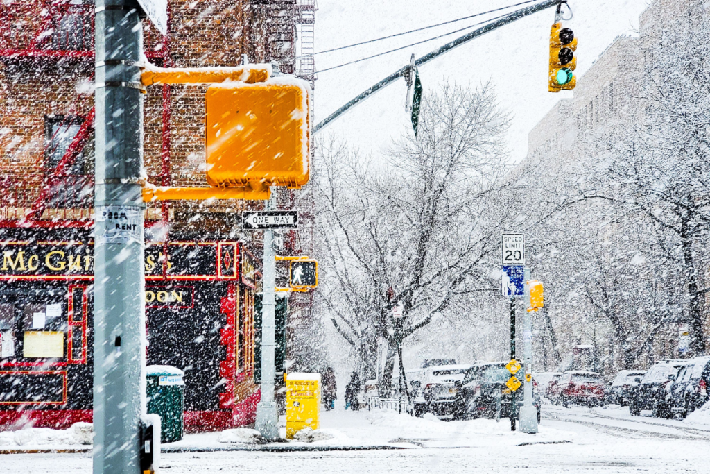 Here’s when New York City could see its first snowflakes of the season
As autumn chill settles over New York City, National Weather Service and NOAA climate data reveal when the five boroughs can expect their first flurries of the 2026 season. After a mild start to fall, recent temperature…
-
 Enjoy beautiful autumn weather in New York with sunny skies and temperatures up to 17°C
The Times of India New York, October 21, 2026 Today's weather is characterized by a mostly sunny and breezy day, marking a pleasant autumn shift in climate The temperature is expected to reach a high of 17°C, while…
-
 Champlain Valley, Northern New York, and Montreal
MyChamplainValley.com
-
 Good Morning, Buffalo: What a super El Niño could mean for Western New York
Oct. 18, 2026 Javascript is required to use this website. Golfers make their way to the next tee in the course at Delaware Park last week. In past El Ãino years, Western New York received much less snow than normal and…
Air quality
Acceptable. Unusually sensitive people should consider limiting prolonged outdoor exertion.
Forecast
- SunModerate (51)
- MonGood (39)
Long Island Region, NY reporting area · 1 hr ago. Data from AirNow (EPA and its state, local and tribal partners); preliminary and subject to change.
Sun & moon
Nearby
- Bridgeport 50 km
- Stamford 52 km
- North Stamford 59 km
- Norwalk 51 km
- East Norwalk 49 km
- Brentwood 15 km
- Fairfield 48 km
- Hempstead 45 km
- Milford 54 km
- Levittown 36 km
- Stratford 50 km
- City of Milford (balance) 54 km
Forecasters' discussion
From the National Weather Service office in OKX, issued 6 hrs ago
What Has Changed
No significant changes made since the previous update.
Key Messages
1) Frost Advisory in effect this morning for coastal CT and far eastern LI.
2) High pressure largely in control through the upcoming week.
Key Message 1
Very favorable conditions exist this morning for radiational cooling and as a result, more typical spots have cooled significantly, some spots into the upper 20s. While the growing season has ended across the interior, it has yet to do so at the coast (Nov 1 or 11). Thus, a frost advisory in in effect for these areas once again.
Elsewhere, lows will range from the upper 20s across some of the interior, to as warm as the 40s across the NYC metro. These readings are about 3 to 5 degrees below normal for most locations.
Warm advection with building heights aloft should result in warmer temperatures tonight and less coverage of frost.
.KEY MESSAGE 2... An anomalously strong upper ridge from the Lower Mississippi Valley into the Great Lakes will translate east into Monday. A the same time, a strong upper low tracking across central and eastern Canada will suppress the upper ridge to the south, sending a cold front across the area Monday night. The frontal passage will be dry. Otherwise, the forecast area will be dominated by high pressure through the week.
Highs will be in the 60s Sunday and Monday, possibly getting to around 70 in the NYC/NJ metro on Monday. It will then cool down behind the cold front Monday night with highs mainly in the 50s for Tuesday and Wednesday. This will be a few degrees above normal. Frost coverage at the coast, where the growing season remains in effect, looks to be patchy at this time.
It warms up for the second half of the week with temperatures projecting to be well above normal by next Friday.
Outlook For 06z Monday Through Thursday
Sunday night-Thursday: VFR.
Detailed information, including hourly TAF wind component forecasts, can be found at: https:/www.weather.gov/zny/n90
Forecasts, observations and alerts in the United States come from the National Weather Service (NOAA); radar from NOAA's Multi-Radar Multi-Sensor system; satellite imagery from NASA's Global Imagery Browse Services (GIBS) and NOAA's GOES satellites; the map from the U.S. Geological Survey's National Map; air quality from AirNow (EPA and its partners); hurricane information from the National Hurricane Center; climate normals and records from NOAA's Regional Climate Centers (ACIS). Forecasts outside the United States and the UV index: MET Norway (CC BY 4.0); observations outside the U.S.: airport reports via NOAA's Aviation Weather Center. Place names: GeoNames (CC BY 4.0). Data are copied on a schedule and may lag the sources; for warnings that affect your safety, follow your local National Weather Service office and emergency officials. Weather news is drawn from the 4Search index and reflects what the press published. Terms of use. How to use Weather