Install
Fairfield, CT Weather
Current conditions
Observed at Bridgeport, Sikorsky Memorial Airport · 47 min ago
Forecast
10-day-
Tonight
Mostly cloudy, with a low around 45. North wind 9 to 14 mph.
-
Thursday
Mostly sunny. High near 64, with temperatures falling to around 62 in the afternoon. North wind 9 to 14 mph.
-
Thursday Night
Clear. Low around 40, with temperatures rising to around 42 overnight. North wind 7 to 12 mph.
National Weather Service forecast updated 4 hrs ago.
Hourly
Hourly forecast- Now55°
- 8 PM51°
- 9 PM51°
- 10 PM49°
- 11 PM48°
- Thu12 AM47°
- 1 AM46°
- 2 AM46°
- 3 AM46°
- 4 AM46°
- 5 AM46°
- 6 AM45°
- 7 AM45°
- 8 AM46°
- 9 AM50°
- 10 AM56°
- 11 AM59°
- 12 PM61°
- 1 PM63°
- 2 PM63°
- 3 PM63°
- 4 PM63°
- 5 PM62°
- 6 PM61°
10-day forecast
Details- TodayOct 21Partly Sunny45°59°
- ThuOct 22Mostly Sunny40°64°
- FriOct 23Sunny36°57°
- SatOct 24Patchy Frost then Sunny38°58°
- SunOct 25Sunny42°62°
- MonOct 26Sunny47°65°
- TueOct 27Sunny42°61°
- WedOct 28Cloudy46°54°
- ThuOct 29Cloudy0.02 in44°56°
- FriOct 30Cloudy53°65°
Days after the National Weather Service's seven are MET Norway's outlook, a computer model with no forecaster's review.
Radar
Full mapWeather news near Fairfield
More weather news-
 Dangerous Freeze Warnings for 7 Counties in New York as Temperatures Plummet
Freeze Warnings take effect tonight across parts of New York, with lows in the upper 20s to around 30 expected from the Hudson Valley to Buffalo. The warnings run into 9 a.m. EDT Sunday. Frost and freeze conditions…
-
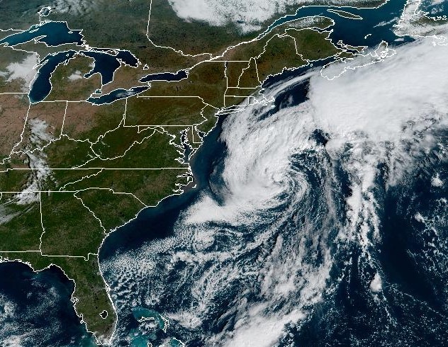 Nor’easter will stay offshore, but Connecticut faces gusty winds Wednesday
A nor'easter swirling off the East Coast will stay offshore as it moves north this week, bringing some strong winds to Connecticut. A nor'easter is hanging out off the East Coast of the U.S. this week, and while it's…
-
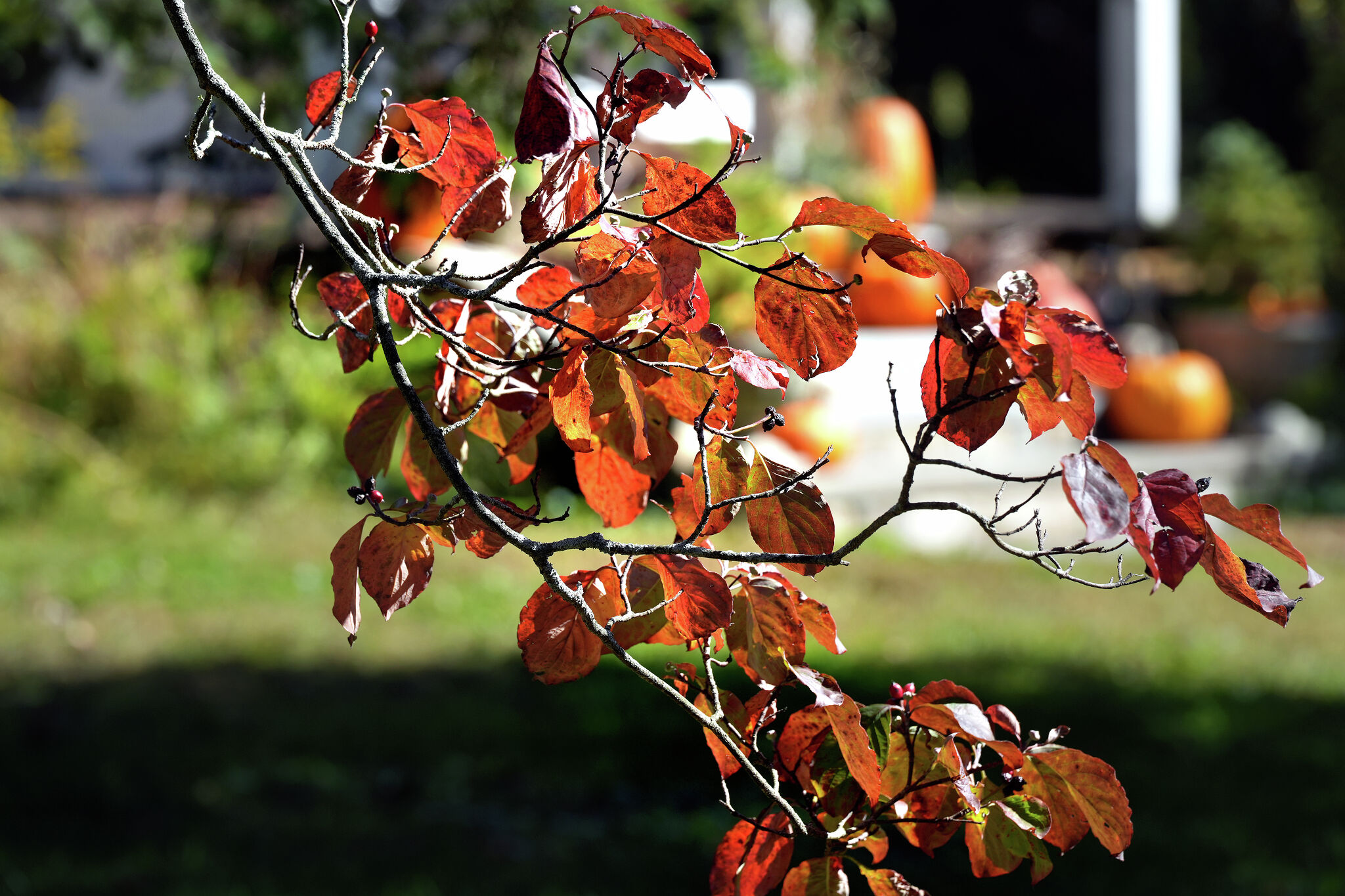 A warmer Tuesday in Connecticut with a mix of sun and clouds. Here's when the chill sets in again.
Leaves begin to change color at a home on Sport Hill Road in Easton on Oct. 7, 2026. Another day of seasonable fall weather is in store for Connecticut Tuesday — but expect it to be a little cloudier and breezier than…
- Wfsb says Connecticut stays mostly dry as offshore storm nears
Wfsb says Connecticut should stay mostly dry and mild this week as a nor’easter strengthens offshore, with only a low chance of rain late Wednesday and Wednesday night in southeastern Connecticut. Most of the state…
-
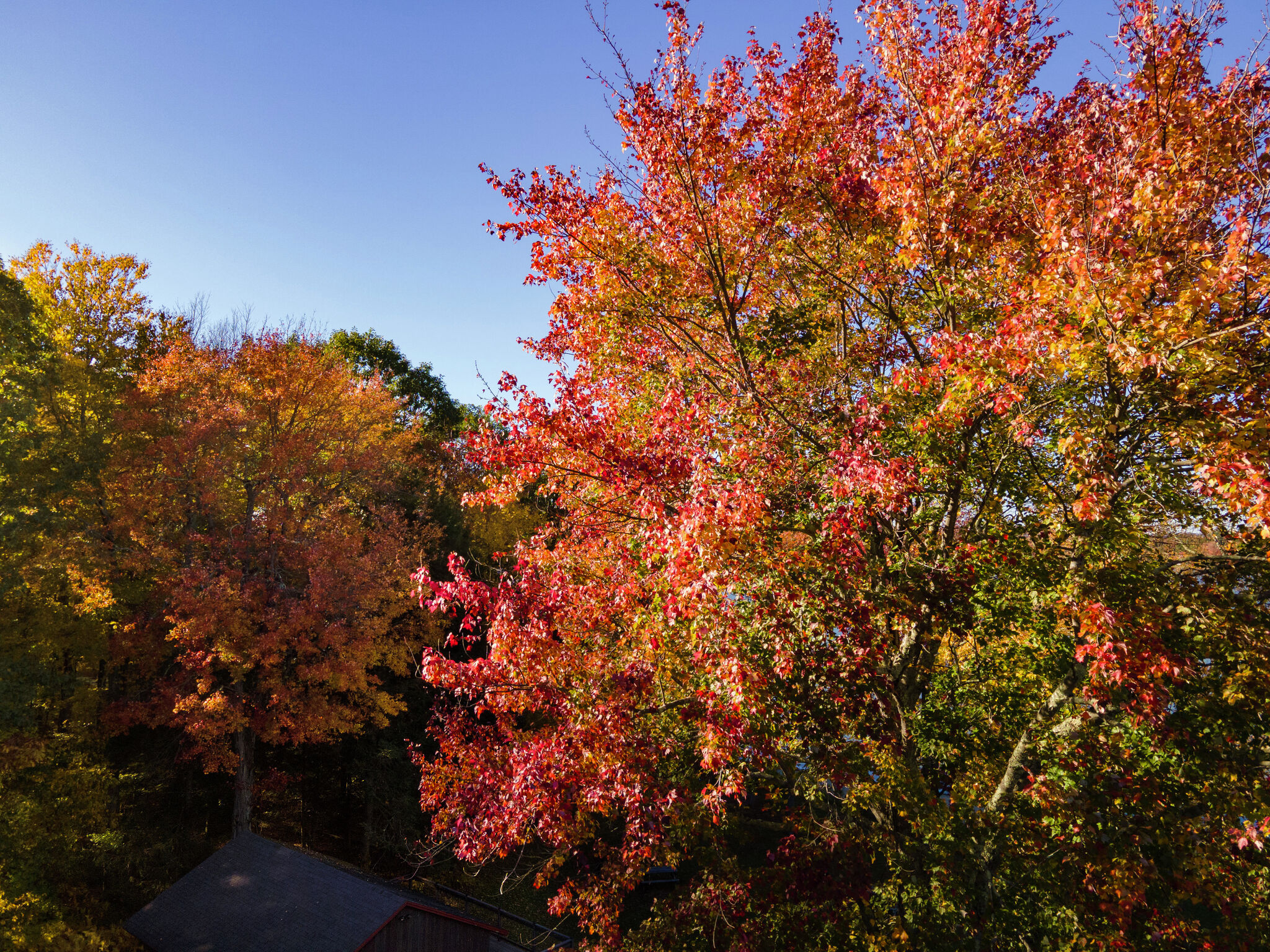 Colorful peak fall foliage is spreading across Connecticut. Here’s when to see it
Trees bursting with color at Bantam Lake in Morris Oct. 15, 2026. Fall foliage surrounds First Congregational Church in Litchfield Oct. 15, 2026. Fall foliage along Bantam Lake's eastern/southeastern shore in Morris…
-
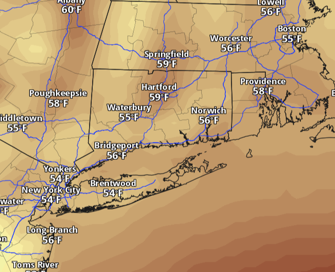 Connecticut warms back toward 60 Monday after weekend chill. Here's when rain returns.
Connecticut starts the week with a chilly morning and plenty of sunshine, but the weekend’s deep chill is easing. Temperatures will climb back toward 60 degrees Monday, with lighter winds and dry weather statewide. The…
-
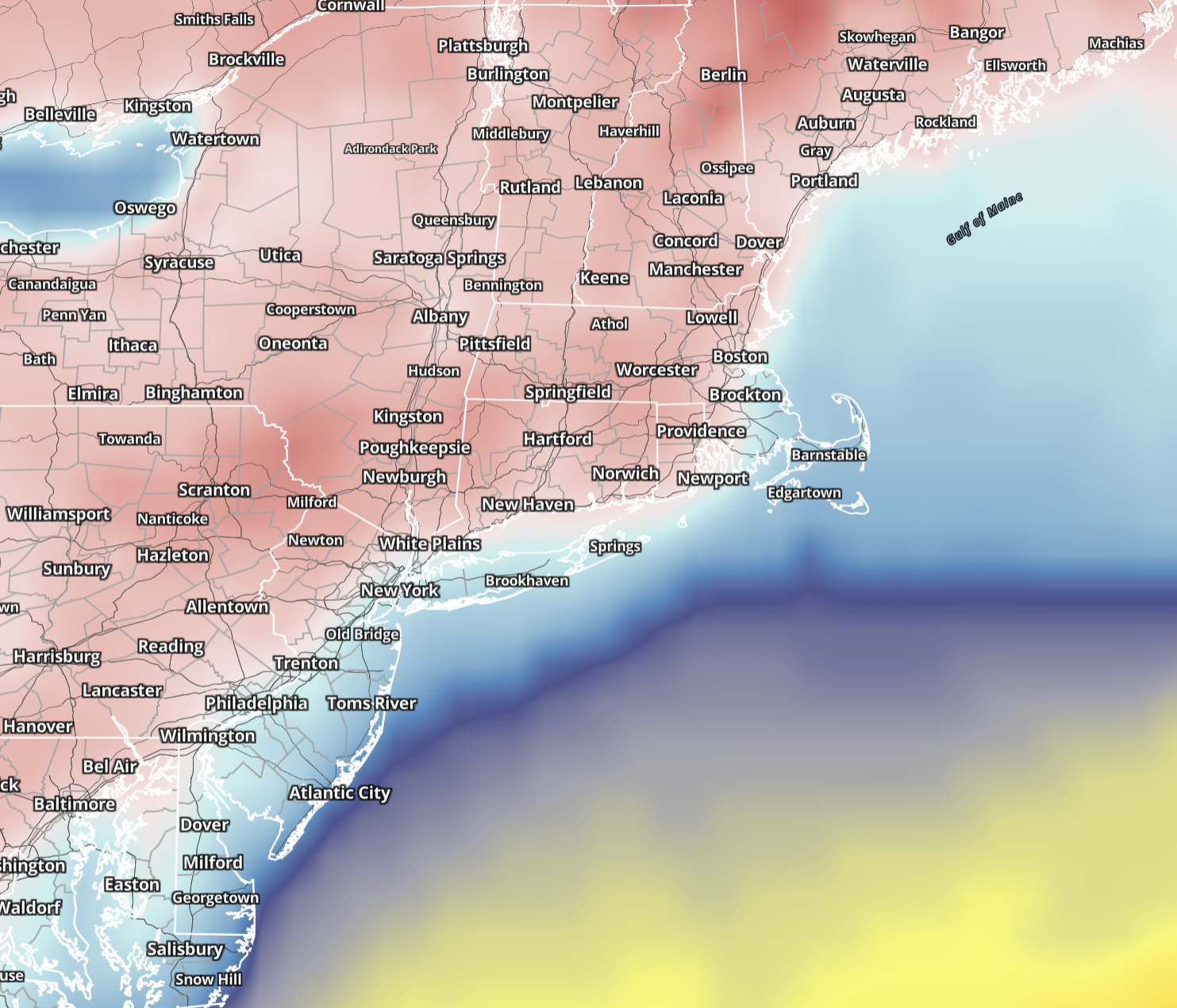 Connecticut wakes to 20s and 30s Sunday before sunshine pushes highs into 50s. Here's the forecast.
Saturday brought the coldest air of the season so far, and Sunday keeps the autumn chill in place across Connecticut. Sunshine returns statewide, winds ease considerably and temperatures make a modest recovery, although…
-
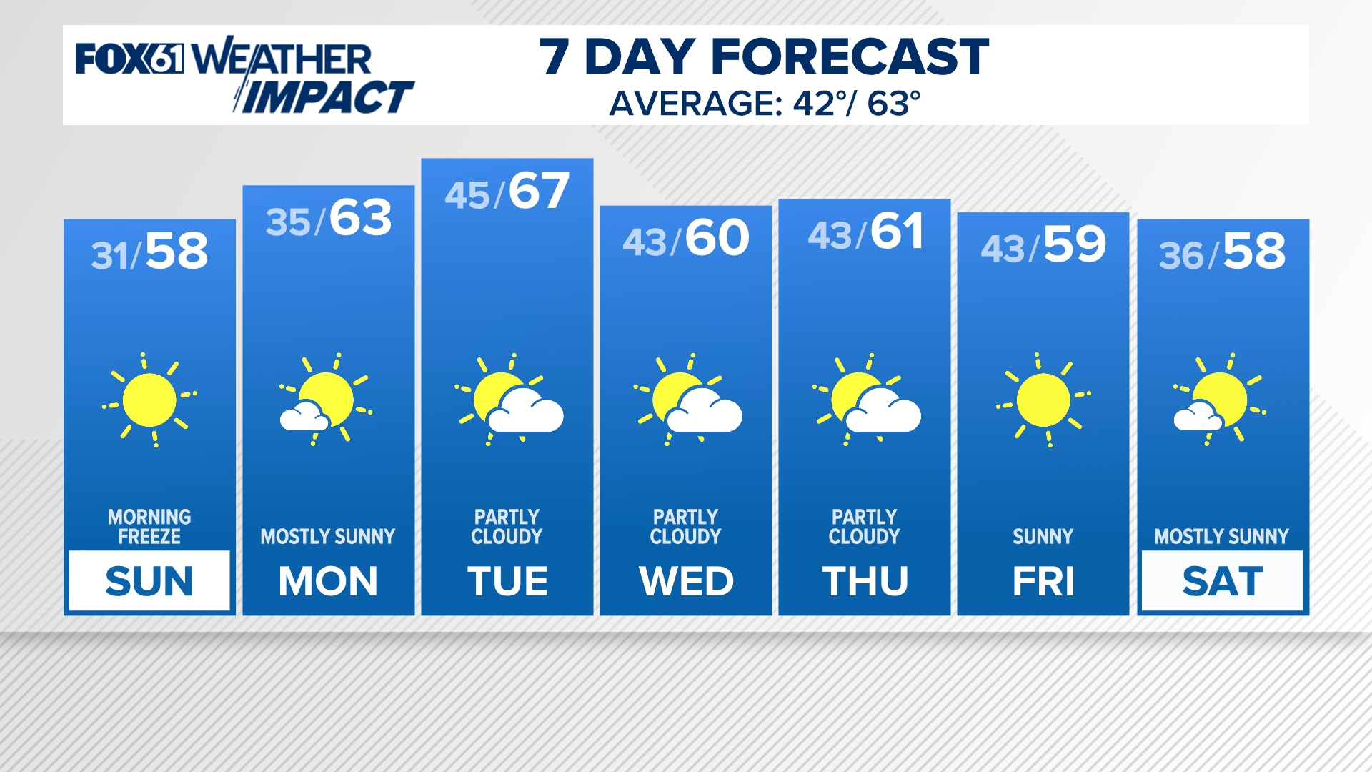 CONNECTICUT FORECAST: Morning - Sunday, Oct. 18, 2026
fox61.com CONNECTICUT FORECAST: Morning - Sunday, Oct. 18, 2026 To stream FOX61 on your phone, you need the FOX61 app. Download the FOX61 app Next up in 5 Example video title will go here for this video Before You…
-
 Connecticut rain totals: More than 17 towns topped 0.5 inches
Rain and gusty winds moved across Connecticut Friday into Saturday morning as a cold front brought a sharp drop in temperatures. Canaan recorded over three quarters of an inch of rain Saturday while more than 17…
-
 Hazardous Weather Outlook Issued For Inland Sections Of Southern Connecticut
INLAND SECTIONS OF SOUTHERN CONNECTICUT — A hazardous weather outlook and freeze warning have been issued for interior sections of southern Connecticut from midnight until 9 a.m. Sunday. "Sub-freezing temperatures as…
Air quality
Forecast
- WedGood (22)
- ThuGood (50)
Westport, CT reporting area. Data from AirNow (EPA and its state, local and tribal partners); preliminary and subject to change.
Sun & moon
Almanac
MonthlyIgor I Sikorsky Memorial Airport, records since 1948. Normals 1991–2020. Data from NOAA's Regional Climate Centers (ACIS).
Nearby
- Bridgeport 8 km
- New Haven 34 km
- Stamford 25 km
- North Stamford 23 km
- Waterbury 50 km
- Norwalk 12 km
- Greenburgh 50 km
- Danbury 32 km
- East Norwalk 12 km
- New Rochelle 50 km
- Mount Vernon 54 km
- Brentwood 40 km
Forecasters' discussion
From the National Weather Service office in OKX, issued 3 hrs ago
What Has Changed
Timing of marine hazards has changed some. See marine section below.
Key Messages
1) Mainly dry conditions will continue into early next week with gradually decreasing N-NE winds through the end of this week.
2) A brief period of minor coastal flooding possible along the south shore back bays of western LI and portions of Lower New York Harbor this afternoon into early this evening.
Key Message 1
Deepening low pressure over the western Atlantic, along the 70th meridian and south of the 40th parallel, will track slowly north tonight and then take a more eastward turn on Thursday. Guidance remains in very good agreement with the track of the system, taking it well south and east of the area. High pressure will then slowly build in through the weekend.
Northerly winds will continue to gust, especially along the coast, up to 30mph. Highest winds and gusts will be during the daytime hours with max mixing in the boundary layer. However, winds will begin to gradually diminish Thursday afternoon into Friday as the low pulls away and high pressure builds in from the west.
In addition, with the northerly flow on the backside of the low and a passing shortwave trough to the north across eastern Canada into the Northeast Thursday night, cooler air will arrive for Friday into the start of the weekend. Daytime highs will go from the 60s on Thursday to the 50s for Friday and Saturday. Additionally, with winds decreasing, frost will be possible Friday and Saturday nights with lows in the 30s away from the NYC metro. A warming trend begins early next week.
.KEY MESSAGE 2... The combination of a prolonged period of easterly swells from offshore low pressure and increasing astronomical tides with the approach of a full moon (Monday 10/26), will allow for water levels to come close to minor coastal flood benchmarks into early this evening along the south shore back bays of western LI and portions of Lower NY. Latest observations show water levels coming in several tenths below forecast. It is possible, that water level stay below, but will remain on the safe side until this high tide cycle passes. Coastal flood advisories and statements remain in effect.
Thereafter, it looks real marginal heading into Thursday and Friday with winds becoming more northerly and decreasing easterly swells.
Outlook For 18z Thursday Through Monday
Thursday: VFR. NNW winds G15-25kt.
Friday: VFR. NNE winds, with G15-20kt mainly in morning.
Saturday, Sunday, and Monday: VFR with light winds.
Detailed information, including hourly TAF wind component forecasts, can be found at: https:/www.weather.gov/zny/n90
Forecasts, observations and alerts in the United States come from the National Weather Service (NOAA); radar from NOAA's Multi-Radar Multi-Sensor system; satellite imagery from NASA's Global Imagery Browse Services (GIBS) and NOAA's GOES satellites; the map from the U.S. Geological Survey's National Map; air quality from AirNow (EPA and its partners); hurricane information from the National Hurricane Center; climate normals and records from NOAA's Regional Climate Centers (ACIS). Forecasts outside the United States and the UV index: MET Norway (CC BY 4.0); observations outside the U.S.: airport reports via NOAA's Aviation Weather Center. Place names: GeoNames (CC BY 4.0). Data are copied on a schedule and may lag the sources; for warnings that affect your safety, follow your local National Weather Service office and emergency officials. Weather news is drawn from the 4Search index and reflects what the press published. Terms of use.