Install
Secaucus, NJ Weather
Current conditions
Observed at New York City, Central Park · 1 hr ago
Forecast
10-day-
Tonight
Partly cloudy, with a low around 47. North wind around 12 mph, with gusts as high as 25 mph.
-
Thursday
Sunny, with a high near 66. North wind around 15 mph, with gusts as high as 25 mph.
-
Thursday Night
Mostly clear. Low around 44, with temperatures rising to around 46 overnight. North wind 8 to 13 mph, with gusts as high as 24 mph.
National Weather Service forecast updated 16 hrs ago.
Hourly
Hourly forecast- Now48°
- 6 AM47°
- 7 AM47°
- 8 AM48°
- 9 AM50°
- 10 AM54°
- 11 AM57°
- 12 PM59°
- 1 PM62°
- 2 PM64°
- 3 PM65°
- 4 PM66°
- 5 PM65°
- 6 PM64°
- 7 PM61°
- 8 PM58°
- 9 PM57°
- 10 PM56°
- 11 PM54°
- Fri12 AM53°
- 1 AM51°
- 2 AM50°
- 3 AM48°
- 4 AM47°
10-day forecast
Details- WedOct 21Mostly Sunny47°62°
- TodayOct 22Sunny44°66°
- FriOct 23Sunny40°57°
- SatOct 24Sunny42°59°
- SunOct 25Sunny46°65°
- MonOct 26Sunny50°68°
- TueOct 27Mostly Sunny46°63°
- WedOct 28Cloudy48°58°
- ThuOct 29Cloudy49°57°
- FriOct 30Cloudy56°67°
Days after the National Weather Service's seven are MET Norway's outlook, a computer model with no forecaster's review.
Radar
Full mapWeather news in New Jersey
More weather news-
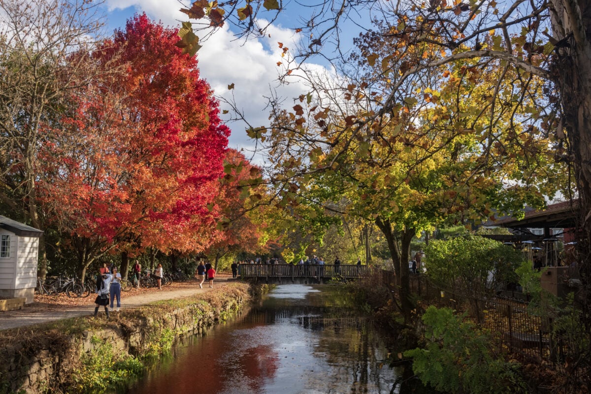 Sunshine Sticks Around New Jersey, but Cooler Days Arrive Before the Weekend
Home » New Jersey » Sunshine Sticks Around New Jersey, but Cooler Days Arrive Before the Weekend New Jersey, Weather Report NEW JERSEY — Sunshine dominates the forecast from Tuesday, October 20, through Saturday…
-
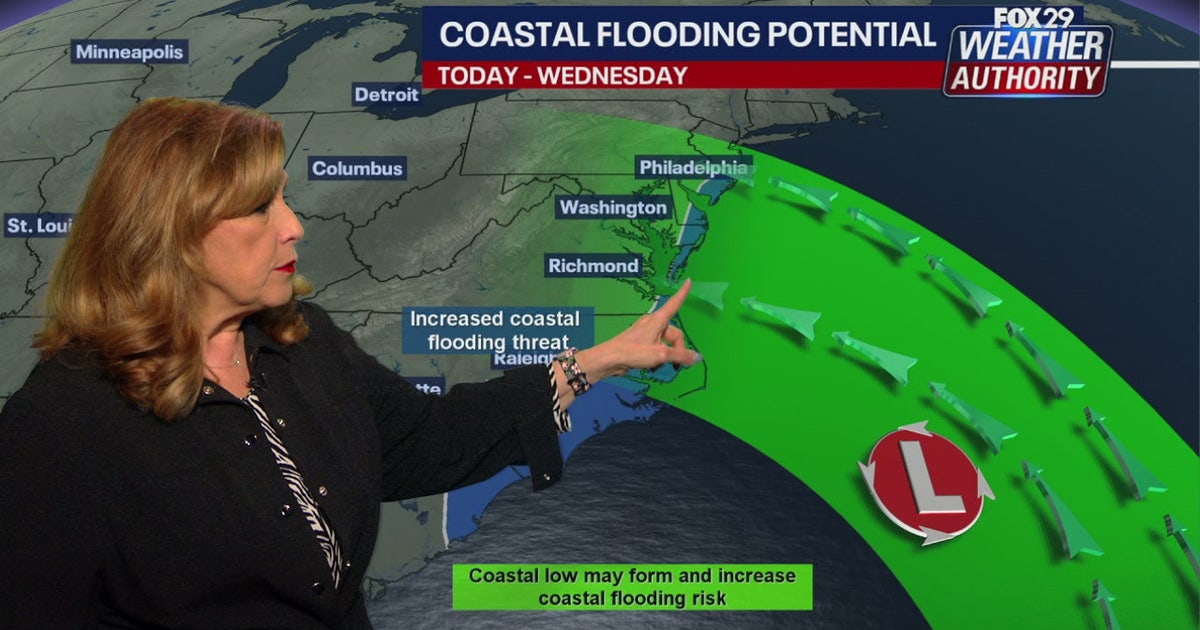 Coastal flooding threat looms for New Jersey, Delaware as nor'easter develops offshore
A developing nor'easter off the Carolina coast is expected to stay offshore but will still bring high winds, heavy surf, and possible coastal flooding along the Jersey Shore and Delaware beaches this week. PHILADELPHIA…
-
 New Jersey nor’easter threat grows as N.C. orders evacuations tonight
The freeze is only the first part of the forecast. Forecasters are also watching a slow moving nor’easter that could bring days of coastal flooding to the Jersey Shore next week. The warning covers Hunterdon, Morris…
-
 Bryan Norcross: Impactful nor'easter possible next week from North Carolina to New Jersey
A strong cold front is powering off the East Coast today. The coldest air of the year will blow in behind it. The front will push down the Florida Peninsula, but only slowly ease across South Florida, where heavy rain…
-
 Reminder to check your faucet now before the cold arrives in New Jersey
We're now officially past the half way point of October in New Jersey, and the air is continuing to cool down. In fact, this is around when a good portion of the state will start to experience that first frost of the…
-
 Dangerous Freeze Watch Issued for Maryland, DC, West Virginia and New Jersey as Temperatures Plummet
Freeze Watches are in effect from late Saturday night through Sunday morning across western Maryland, West Virginia and northern New Jersey, with lows in the upper 20s to low 30s possible. A strong cold front moves…
-
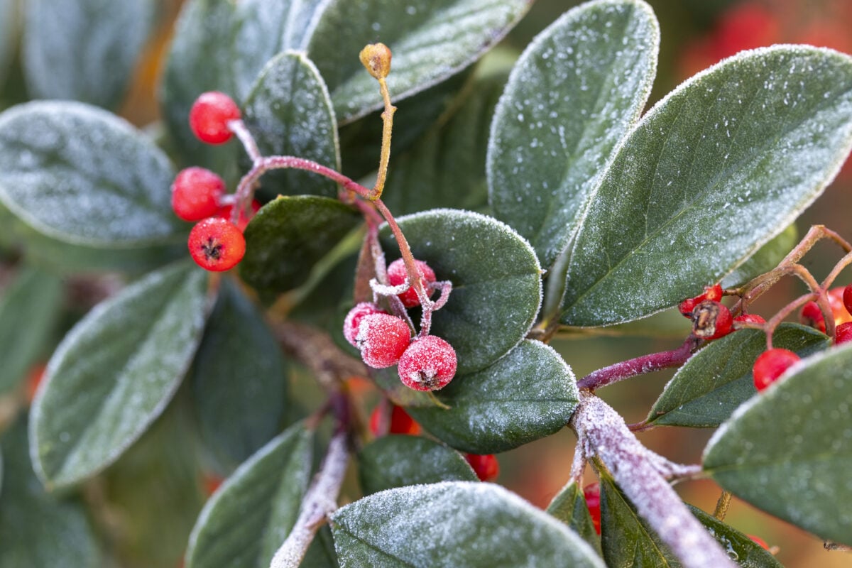 New Jersey’s First Frost Alert Comes After Windy, Rainy Saturday
Home » New Jersey » New Jersey’s First Frost Alert Comes After Windy, Rainy Saturday New Jersey, Weather Report NEW JERSEY — A stormy start to the weekend will give way to colder temperatures, powerful wind gusts and…
-
 New Jersey, Ready for Winter? Remove These 5 Items From Your Freezing Garage Now
As we get colder here in New Jersey, discover why storing items in your shed or garage during cold weather requires careful consideration to prevent damage and safety risks! It will be cold here before we know it in New…
-
 Rainy weather with possibly strong storms impacting New York, New Jersey area
October 16, 2026 / 8:19 AM EDT / CBS New York It is a stormy start to the weekend, with a rainy Friday that could bring severe weather to the New York area. Showers will move through the area during the day. But the…
-
 Bidding Farewell to Daylight Saving Time in New Jersey
There's no stronger indicator that autumn is here than the day when we change our clocks back. We can extend our summer, with locals summer, but when we change the clocks and it starts getting dark around 5pm, you know…
Air quality
Air quality is satisfactory, and air pollution poses little or no risk.
Forecast
- ThuGood (40)
Northeast Urban, NJ reporting area · 2 hrs ago. Data from AirNow (EPA and its state, local and tribal partners); preliminary and subject to change.
Sun & moon
Almanac
MonthlyNew York-Central Park Area, records since 1869. Normals 1991–2020. Data from NOAA's Regional Climate Centers (ACIS).
Nearby
- New York City 9 km
- Brooklyn 18 km
- Queens 22 km
- Manhattan 8 km
- The Bronx 17 km
- Staten Island 26 km
- Newark 11 km
- Jersey City 7 km
- Yonkers 21 km
- Paterson 17 km
- Elizabeth 19 km
- Clifton 12 km
Forecasters' discussion
From the National Weather Service office in OKX, issued 13 hrs ago
What Has Changed
Timing of marine hazards has changed some. See marine section below.
Key Messages
1) Mainly dry conditions will continue into early next week with gradually decreasing N-NE winds through the end of this week.
2) A brief period of minor coastal flooding possible along the south shore back bays of western LI and portions of Lower New York Harbor this afternoon into early this evening.
Key Message 1
Deepening low pressure over the western Atlantic, along the 70th meridian and south of the 40th parallel, will track slowly north tonight and then take a more eastward turn on Thursday. Guidance remains in very good agreement with the track of the system, taking it well south and east of the area. High pressure will then slowly build in through the weekend.
Northerly winds will continue to gust, especially along the coast, up to 30mph. Highest winds and gusts will be during the daytime hours with max mixing in the boundary layer. However, winds will begin to gradually diminish Thursday afternoon into Friday as the low pulls away and high pressure builds in from the west.
In addition, with the northerly flow on the backside of the low and a passing shortwave trough to the north across eastern Canada into the Northeast Thursday night, cooler air will arrive for Friday into the start of the weekend. Daytime highs will go from the 60s on Thursday to the 50s for Friday and Saturday. Additionally, with winds decreasing, frost will be possible Friday and Saturday nights with lows in the 30s away from the NYC metro. A warming trend begins early next week.
.KEY MESSAGE 2... The combination of a prolonged period of easterly swells from offshore low pressure and increasing astronomical tides with the approach of a full moon (Monday 10/26), will allow for water levels to come close to minor coastal flood benchmarks into early this evening along the south shore back bays of western LI and portions of Lower NY. Latest observations show water levels coming in several tenths below forecast. It is possible, that water level stay below, but will remain on the safe side until this high tide cycle passes. Coastal flood advisories and statements remain in effect.
Thereafter, it looks real marginal heading into Thursday and Friday with winds becoming more northerly and decreasing easterly swells.
Outlook For 18z Thursday Through Monday
Thursday: VFR. NNW winds G15-25kt.
Friday: VFR. NNE winds, with G15-20kt mainly in morning.
Saturday, Sunday, and Monday: VFR with light winds.
Detailed information, including hourly TAF wind component forecasts, can be found at: https:/www.weather.gov/zny/n90
Forecasts, observations and alerts in the United States come from the National Weather Service (NOAA); radar from NOAA's Multi-Radar Multi-Sensor system; satellite imagery from NASA's Global Imagery Browse Services (GIBS) and NOAA's GOES satellites; the map from the U.S. Geological Survey's National Map; air quality from AirNow (EPA and its partners); hurricane information from the National Hurricane Center; climate normals and records from NOAA's Regional Climate Centers (ACIS). Forecasts outside the United States and the UV index: MET Norway (CC BY 4.0); observations outside the U.S.: airport reports via NOAA's Aviation Weather Center. Place names: GeoNames (CC BY 4.0). Data are copied on a schedule and may lag the sources; for warnings that affect your safety, follow your local National Weather Service office and emergency officials. Weather news is drawn from the 4Search index and reflects what the press published. Terms of use.