Install
Paterson, NJ Weather
Current conditions
Forecast for this hour (no station report in the last two hours)
Forecast
10-day-
Tonight
Clear. Low around 47, with temperatures rising to around 51 overnight. North wind 3 to 9 mph, with gusts as high as 21 mph.
-
Tuesday
Sunny. High near 68, with temperatures falling to around 64 in the afternoon. North wind around 12 mph, with gusts as high as 23 mph.
-
Tuesday Night
Mostly clear. Low around 45, with temperatures rising to around 48 overnight. North wind around 10 mph, with gusts as high as 22 mph.
National Weather Service forecast updated 11 hrs ago.
Hourly
Hourly forecast- Now52°
- 2 AM52°
- 3 AM51°
- 4 AM51°
- 5 AM51°
- 6 AM51°
- 7 AM50°
- 8 AM51°
- 9 AM53°
- 10 AM56°
- 11 AM59°
- 12 PM61°
- 1 PM64°
- 2 PM65°
- 3 PM65°
- 4 PM66°
- 5 PM64°
- 6 PM62°
- 7 PM60°
- 8 PM58°
- 9 PM57°
- 10 PM55°
- 11 PM54°
- Wed12 AM53°
10-day forecast
Details- TonightOct 19Clear47°
- TodayOct 20Sunny45°68°
- WedOct 21Sunny44°62°
- ThuOct 22Sunny45°67°
- FriOct 23Sunny41°58°
- SatOct 24Sunny42°59°
- SunOct 25Sunny47°64°
- MonOct 26Sunny69°
- TueOct 27Cloudy48°65°
- WedOct 28Cloudy0.11 in46°52°
Days after the National Weather Service's seven are MET Norway's outlook, a computer model with no forecaster's review.
Radar
Full mapWeather news
More weather news-
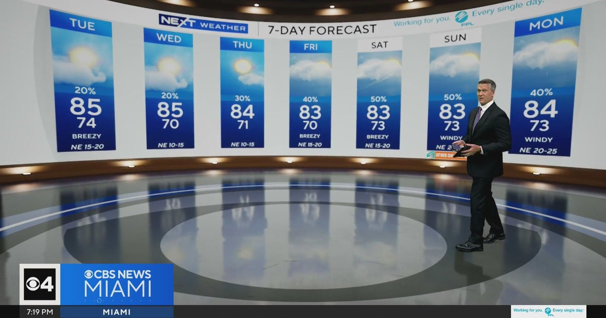 Temperatures lower to the early 80s and late 70s throughout South Florida
CBS News Miami is a local news organization that is part of CBS News and Stations. Also referred to as WFOR-TV and channel 4, CBS News Miami offers local breaking news, weather coverage and investigative reporting…
-
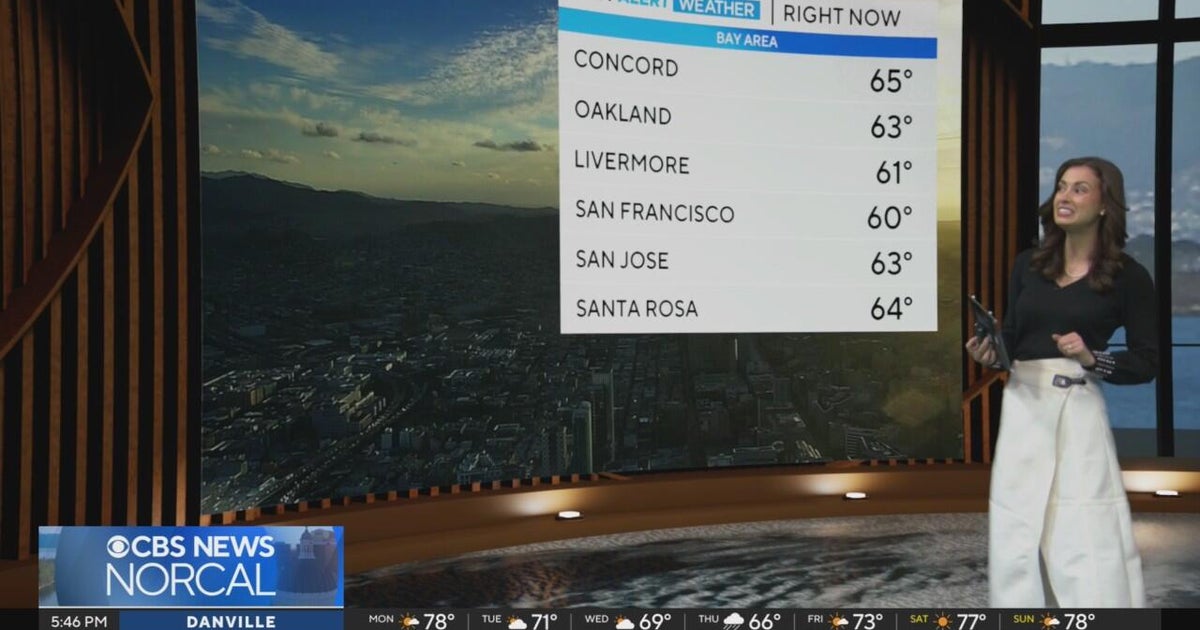 First Alert Weather Monday evening forecast 10-19-26
CBS News Bay Area is a local news organization that is part of CBS News and Stations. Also referred to as KPIX-TV and channel 5, CBS News Bay Area offers local breaking news, weather coverage and investigative…
-
 Five ways El Niño is affecting the weather around the world
El Niño has been strengthening for several months now and is already having a significant impact on global weather patterns. Countries including Indonesia, India and the United States have been experiencing droughts…
-
 Warming trend in Minnesota continues, as rain holds off
CBS News Minnesota is a local news organization that is part of CBS News and Stations. Also referred to as WCCO-TV and channel 4, CBS News Minnesota offers local breaking news, weather coverage and investigative…
-
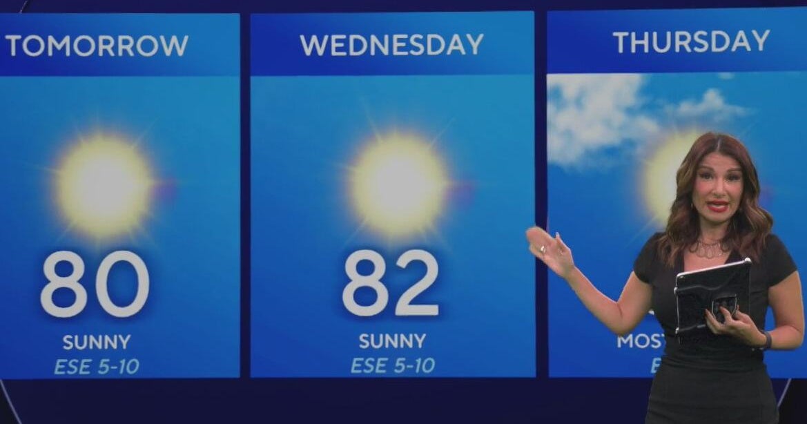 Beautiful stretch of weather continues across North Texas
The Takeout with Major Garrett CBS News Chicago 4pm CBS News Detroit 5pm CBS News Miami 5pm The 4 from WCCO News CBS News New York 5pm CBS News Philadelphia 5pm CBS News Texas at 4pm
-
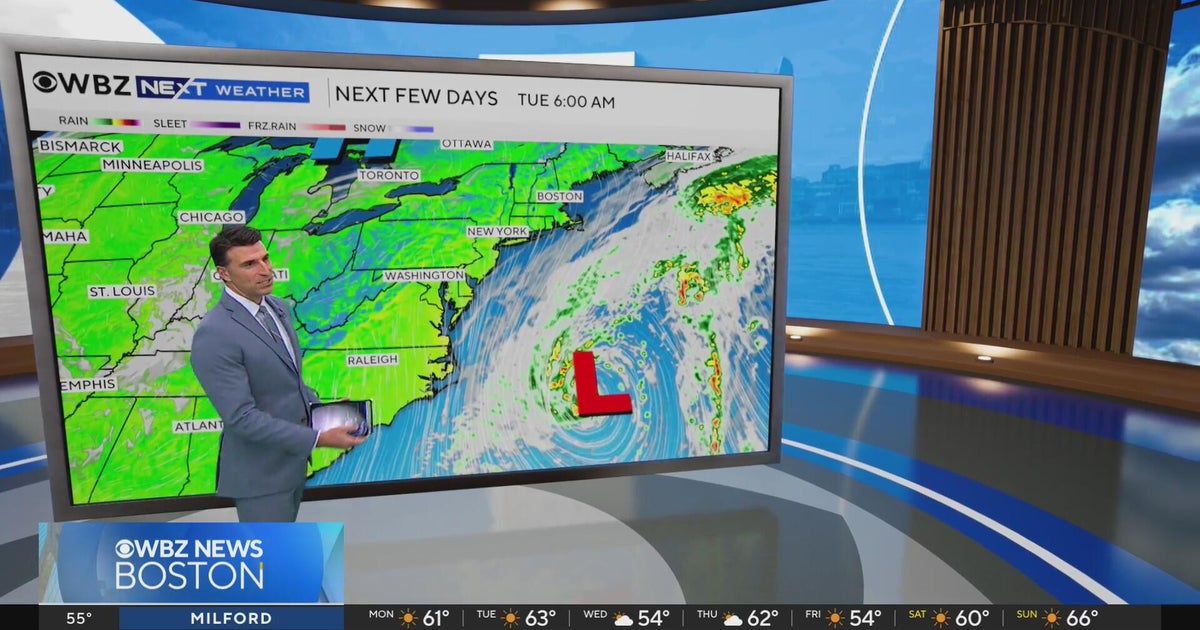 Next Weather: WBZ evening forecast for October 19, 2026
The Takeout with Major Garrett CBS News Chicago 4pm CBS News Detroit 5pm CBS News Miami 5pm The 4 from WCCO News CBS News New York 5pm CBS News Philadelphia 5pm CBS News Texas at 4pm
-
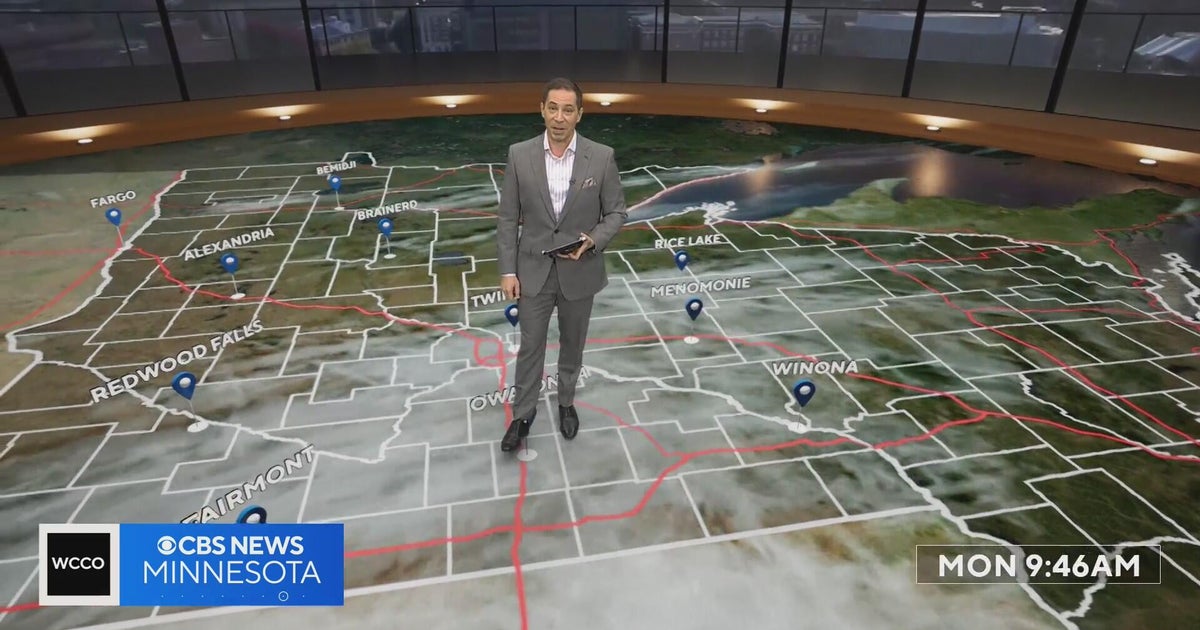 Minnesota’s warm, dry streak continues, with temperatures nearing 80 by Thursday | Oct. 19, 2026
A ridge of high pressure keeps the jet stream and cold air to the north, WCCO’s meteorologist says. Highs reach nearly 70 in the Twin Cities Wednesday, the mid 70s Thursday and close to 80 in parts of south central…
-
 Sunshine and chilly mornings all week in Atlanta before weekend rain chances
CBS News Atlanta is a local news organization that is part of CBS News and Stations. Also referred to as WUPA and channel 69, CBS News Atlanta offers local breaking news, weather coverage and investigative reporting…
-
 A bomb cyclone and atmospheric river are developing in the Pacific. What does that mean for the West Coast?
Updated on: November 20, 2024 / 7:13 AM EST / CBS News The Northwest is bracing for a strong storm system that began moving onshore early Wednesday, bringing strong winds, heavy rain and mountain snow. Over 7 million…
-
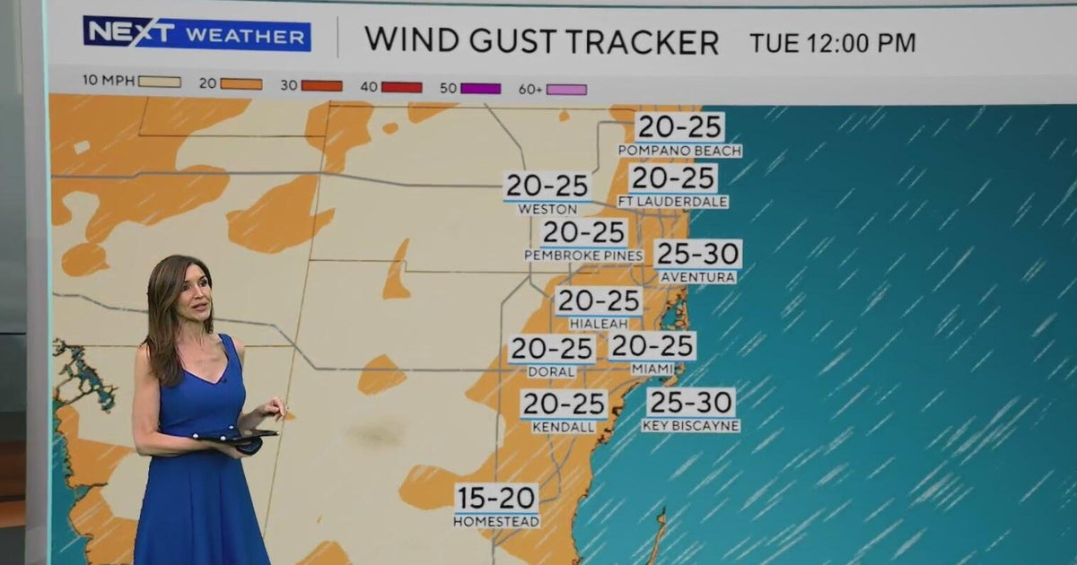 Windy, drier week ahead of taste of fall South Florida style
October 19, 2026 / 11:06 AM EDT / CBS Miami It's expected to be a windy but dry week across South Florida ahead of an enjoyable taste of fall with some pleasant mornings starting on Tuesday. As a frontal boundary stalls…
Air quality
Acceptable. Unusually sensitive people should consider limiting prolonged outdoor exertion.
Forecast
- TueGood (50)
Northeast Urban, NJ reporting area · 1 hr ago. Data from AirNow (EPA and its state, local and tribal partners); preliminary and subject to change.
Sun & moon
Nearby
- New York City 26 km
- Brooklyn 35 km
- Manhattan 23 km
- The Bronx 27 km
- Newark 20 km
- Jersey City 22 km
- Yonkers 23 km
- Elizabeth 28 km
- Greenburgh 30 km
- Clifton 7 km
- New Rochelle 33 km
- Passaic 8 km
Forecasters' discussion
From the National Weather Service office in OKX, issued 11 hrs ago
What Has Changed
No significant changes
Key Messages
1) A noreaster is expected to remain south and east of the region thru the week. Some coastal impacts remain possible.
Key Message 1
Low pres was evident on satellite of Cape Hatteras this afternoon. This low is modeled to gradually deepen thru the week, and only slowly take a general northeast track thru the period.
The latest model trends and consensus keep the impacts to the local area low. The NBM now has mainly dry weather thru the week, with only 20-30 percent chances for light rain across ern LI and extreme sern CT, focused on the late Wed and Wed night period. If the overall model trend continue, would not be surprised to see these numbers come in even lower.
With a 1030s high building across ern Canada and the low offshore, northeast winds will continue all week. The breeziest conditions look to be in the Tue-Wed period attm. The latest data suggests peak gusts in the 30s, with the coasts windiest.
Astronomical tides remain low this week, but the persistent NE flow should start bringing a rise in tide levels through mid week. Persistent swells from the offshore system may also aide in tidal piling and potentially some minor beach erosion.
The tide cycles of concern for any coastal flooding are on Wednesday and potentially into Thursday with the Wednesday evening high tide having the highest potential at this time. The main areas of concern are across the south shore back bays and portions of the Great South Bay. Mainly minor coastal flooding looks possible for these locations and coastal flood advisories may eventually be needed. Elsewhere, water levels currently look to remain below minor coastal flooding benchmarks.
The modeling points to a strong upr trof dropping out of Canada late Fri or early Sat, forcing the low further out to sea. The GFS suggests a roughly 1040 high building into the region over the weekend. This would put an end to the storm's influence over the region.
Outlook For 18z Monday Through Saturday
Tuesday: VFR. N-NE wind G15-25 kt, highest near the coast.
Wednesday: VFR. NE winds G20-30 kt, highest near the coast.
Thursday-Friday: VFR. N winds G15-20 kt.
Saturday: VFR.
Detailed information, including hourly TAF wind component forecasts, can be found at: https:/www.weather.gov/zny/n90
Forecasts, observations and alerts in the United States come from the National Weather Service (NOAA); radar from NOAA's Multi-Radar Multi-Sensor system; satellite imagery from NASA's Global Imagery Browse Services (GIBS) and NOAA's GOES satellites; the map from the U.S. Geological Survey's National Map; air quality from AirNow (EPA and its partners); hurricane information from the National Hurricane Center; climate normals and records from NOAA's Regional Climate Centers (ACIS). Forecasts outside the United States and the UV index: MET Norway (CC BY 4.0); observations outside the U.S.: airport reports via NOAA's Aviation Weather Center. Place names: GeoNames (CC BY 4.0). Data are copied on a schedule and may lag the sources; for warnings that affect your safety, follow your local National Weather Service office and emergency officials. Weather news is drawn from the 4Search index and reflects what the press published. Terms of use.