Install
Cape May Court House, NJ Weather
Current conditions
Observed at Cape May County Airport · 47 min ago
Forecast
10-day-
Monday Night
Mostly clear, with a low around 47.
-
Tuesday
Sunny, with a high near 64.
-
Tuesday Night
Partly cloudy, with a low around 47.
National Weather Service forecast updated 4 days ago.
Hourly
Hourly forecast- Now59°
- 8 PM56°
- 9 PM54°
- 10 PM52°
- 11 PM51°
- Tue12 AM50°
- 1 AM50°
- 2 AM50°
- 3 AM49°
- 4 AM49°
- 5 AM48°
- 6 AM47°
- 7 AM47°
- 8 AM48°
- 9 AM52°
- 10 AM56°
- 11 AM60°
- 12 PM62°
- 1 PM63°
- 2 PM63°
- 3 PM64°
- 4 PM64°
- 5 PM63°
- 6 PM60°
10-day forecast
Details- TonightOct 22Clear44°
- FriOct 23Sunny38°59°
- SatOct 24Sunny40°59°
- SunOct 25Sunny43°61°
- TodayOct 26Sunny47°64°
- TueOct 27Sunny47°64°
- WedOct 28Mostly Sunny49°61°
- ThuOct 29Mostly Sunny64°
- FriOct 30Partly cloudy56°69°
- SatOct 31Partly cloudy53°61°
Days after the National Weather Service's seven are MET Norway's outlook, a computer model with no forecaster's review.
Radar
Full mapWeather news in New Jersey
More weather news-
-
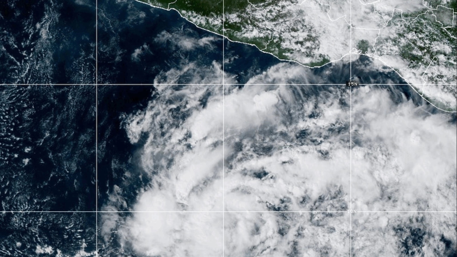 Vance could be a major Category 3 hurricane Friday as it nears Mexico
Vance has become a hurricane off the coast of Mexico MIAMI -- Vance became a hurricane Friday and the National Hurricane Center said it would strengthen rapidly as it nears Mexico's Pacific Coast. Vance was a Category 1…
-
 Storm Josephine brings high winds and possible coastal flooding to Eastern Seaboard
The storm had maximum sustained winds of 65 mph and was centered about 265 miles south of Nantucket, Massachusetts, and about 585 miles southwest of Halifax, Nova Scotia. The National Hurricane Center in Miami said…
- Subtropical storm Josephine brings high winds, coastal flooding to Northeast
Subtropical Storm Josephine just formed off the coast of the Mid-Atlantic, but will largely be a mere nuisance for coastal areas as it moves north. The storm is 245 miles south of Nantucket and has nearly 65 mph…
-
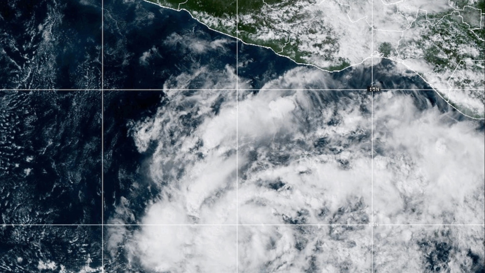 Tropical Storm Vance has formed in the Pacific Ocean
ABC News - Breaking News, Latest News and Videos Tropical Storm Vance has formed in the Pacific Ocean MIAMI -- Tropical Storm Vance formed Wednesday in the Pacific Ocean, the National Hurricane Center said. The center…
-
 When daylight saving time ends in 2026: Date clocks 'fall back' one hour
NEW YORK - As autumn settles in and the days grow shorter, an extra hour of sleep is right around the corner. Daylight saving time officially ends on Sunday, Nov. 1, 2026, at 2 a.m. local time. At that moment, clocks…
-
 Sunshine Sticks Around New Jersey, but Cooler Days Arrive Before the Weekend
Home » New Jersey » Sunshine Sticks Around New Jersey, but Cooler Days Arrive Before the Weekend New Jersey, Weather Report NEW JERSEY — Sunshine dominates the forecast from Tuesday, October 20, through Saturday…
-
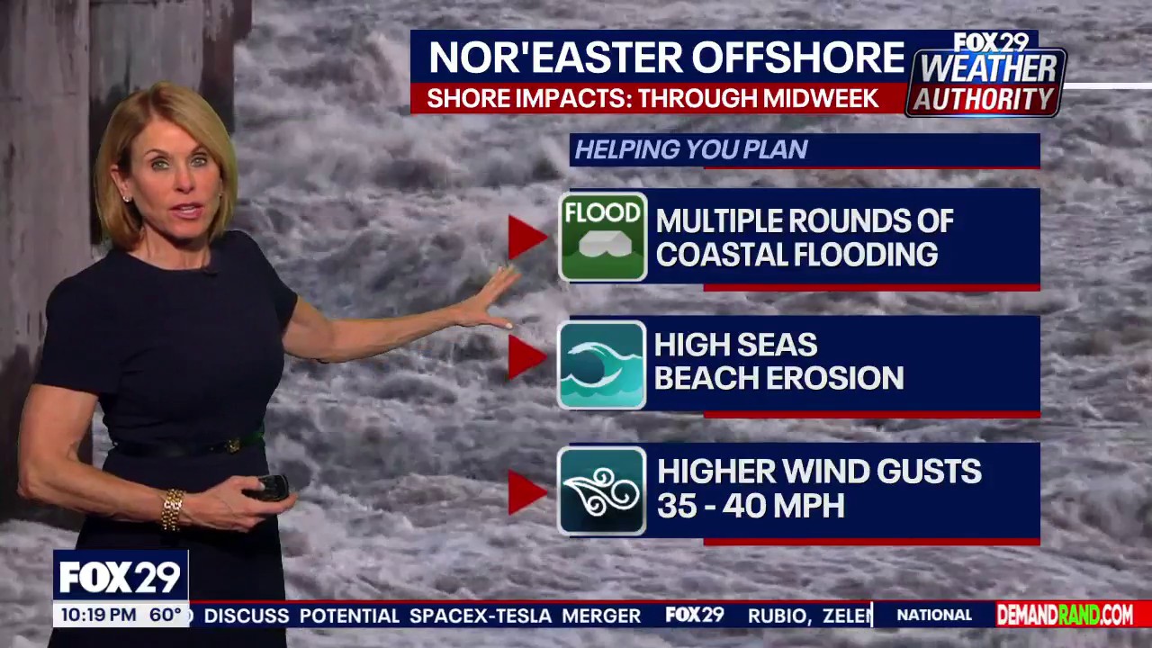 Weather: Nor-easter offshore and sunny skies Wednesday
FOX 29 Philadelphia FOX 29 Meteorologist Kathy Orr breaks down what to expect in weather the remainder of this week.
-
 2026 Thanksgiving weather forecast: Farmers' Almanac predictions for the Northeast
With over 81 million people expected to travel over at least 50 miles for the Thanksgiving holiday, we caught up with AAA and travelers who hit the road. PHILADELPHIA - With millions expected to hit the roads and skies…
-
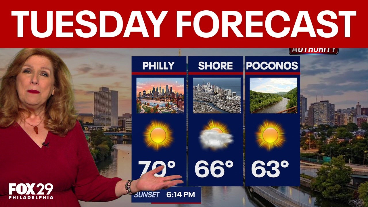 Philadelphia weather: Tuesday forecast
FOX 29 Philadelphia FOX 29's Sue Serio has your Tuesday forecast.
Air quality
Air quality is satisfactory, and air pollution poses little or no risk.
Forecast
- MonModerate (60)
- TueModerate (55)
South Coastal, NJ reporting area · 1 hr ago. Data from AirNow (EPA and its state, local and tribal partners); preliminary and subject to change.
Sun & moon
Almanac
MonthlyEstell Manor, records since 1965. Normals 1991–2020. Data from NOAA's Regional Climate Centers (ACIS).
Nearby
- Vineland 48 km
- South Vineland 44 km
- Atlantic City 47 km
- Millville 40 km
- Bridgeton 52 km
- Pleasantville 43 km
- Ocean City 31 km
- Somers Point 33 km
- Ventnor City 41 km
- Milford 56 km
- Villas 12 km
- Brigantine 54 km
Forecasters' discussion
From the National Weather Service office in PHI, issued 5 hrs ago
What Has Changed
No significant weather concerns this week.
Key Messages
1. No significant weather concerns this week.
Discussion
KEY MESSAGE 1...No significant weather concerns this week.
High pressure centered near the Ohio and Tennessee Valleys will sag into the Gulf Coast states. A weak cold front will pass through the region tonight, and then Canadian high pressure builds into the Northeast on Tuesday. That high will eventually move offshore as the week progresses.
The front that will pass through the region tonight will pass through dry, and high temperatures on Tuesday will be a few degrees cooler compared to today. Some patchy fog may develop late tonight, however, as the drier air may not filter down until Tuesday afternoon. As the week progresses, high temperatures will warm into the upper 60s and low 70s, and then into the mid 70s or so by Friday. Temperatures will still be slightly above normal for next weekend, but a bit cooler compared to Friday. The next chance for precipitation does not come until at least next Sunday or perhaps later. A dry stretch of weather is ahead.
Aviation
The following discussion is for KPHL, KPNE, KTTN, KABE, KRDG, KILG, KMIV, KACY and surrounding areas.
Rest of today...VFR/SKC. W-NW winds 5 to 10 kt. High confidence.
Tonight...VFR. Cannot rule out patchy fog resulting in localized VSBY restrictions. Light N winds, becoming NE 5 to 10 kt after 06Z. Moderate confidence.
Tuesday...VFR. NE winds 5 to 10 kt. High confidence.
Outlook...
Tuesday night through Saturday...VFR. No significant weather.
Forecasts, observations and alerts in the United States come from the National Weather Service (NOAA); radar from NOAA's Multi-Radar Multi-Sensor system; satellite imagery from NASA's Global Imagery Browse Services (GIBS) and NOAA's GOES satellites; the map from the U.S. Geological Survey's National Map; air quality from AirNow (EPA and its partners); hurricane information from the National Hurricane Center; climate normals and records from NOAA's Regional Climate Centers (ACIS). Forecasts outside the United States and the UV index: MET Norway (CC BY 4.0); observations outside the U.S.: airport reports via NOAA's Aviation Weather Center. Place names: GeoNames (CC BY 4.0). Data are copied on a schedule and may lag the sources; for warnings that affect your safety, follow your local National Weather Service office and emergency officials. Weather news is drawn from the 4Search index and reflects what the press published. Terms of use. How to use Weather