Install
Ocean City, NJ Weather
Current conditions
Observed at Atlantic City, Atlantic City International Airport · 33 min ago
Forecast
10-day-
Sunday
Sunny, with a high near 62.
-
Sunday Night
Mostly clear, with a low around 52.
-
Monday
Mostly sunny, with a high near 66.
National Weather Service forecast updated 5 days ago.
Hourly
Hourly forecast- Now49°
- 10 AM51°
- 11 AM53°
- 12 PM55°
- 1 PM57°
- 2 PM58°
- 3 PM59°
- 4 PM60°
- 5 PM60°
- 6 PM60°
- 7 PM60°
- 8 PM60°
- 9 PM59°
- 10 PM58°
- 11 PM57°
- Mon12 AM57°
- 1 AM56°
- 2 AM56°
- 3 AM55°
- 4 AM55°
- 5 AM54°
- 6 AM53°
- 7 AM52°
- 8 AM52°
Daily forecast
Details- TueOct 20Sunny51°66°
- WedOct 21Partly Sunny46°60°
- ThuOct 22Mostly Sunny47°65°
- FriOct 23Sunny47°59°
- SatOct 24Sunny46°59°
- TodayOct 25Sunny52°62°
- MonOct 26Mostly Sunny53°66°
- TueOct 27Cloudy48°67°
- WedOct 28Cloudy0.04 in55°63°
Days after the National Weather Service's seven are MET Norway's outlook, a computer model with no forecaster's review.
Radar
Full mapWeather news near Ocean City
More weather news-
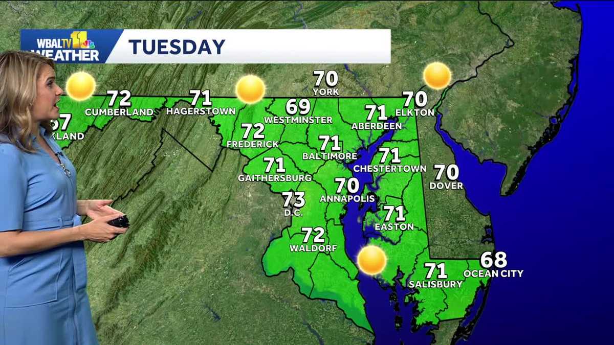 Chilly morning turns into a mild Tuesday in Baltimore
We're in for a beautiful week in the Baltimore are while a coastal storm stays just offshore. The storm will cause some big waves and strong winds at the beach. It will be another chilly morning, though not quite as…
-
 Brewing nor’easter threatens East Coast with days of coastal flooding, strong winds and pounding surf
🌧️ ⚠️ NEXT NOR'EASTER: FOX Weather Meteorologist Michael Estime shares an update on the next Nor'easter expected to hit the East Coast, bringing the threat of heavy rain, winds, rough waves and coastal flooding this…
- South Philadelphia Gets a Cold Sunday After Friday’s Storm Watch
South Philadelphia residents heading to the Eagles game at 1 p.m. Sunday should expect sunshine and temperatures in the 50s, with the 40s possible for morning tailgaters, FOX 29 Philadelphia reported. The chill follows…
-
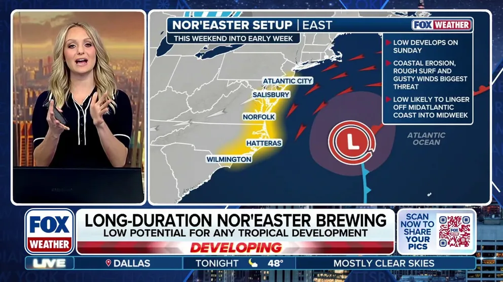 Nor’easter threatens days of coastal impacts along East Coast
FOX Weather Norâeaster threatens days of coastal impacts along East Coast A norâeaster is expected to linger off the North Carolina coast through much of next week, bringing gusty winds, destructive surf and coastal…
-
 Blustery Saturday, Cold Night Ahead
FUTUREGUSTS - SUSSEX / OCEAN CITY FUTURECAST - SUSSEX COUNTY FUTUREWAVES - OCEAN CITY DELMARVA - A sharp change in weather will continue across southern Delaware Saturday afternoon as strong northwest winds and much…
-
 New Nor'easter Forms Off Atlantic Coast: How It Could Impact MD
Maryland's coast may see another round of rough weather as a new nor'easter takes shape, threatening strong winds, beach erosion and coastal flooding in parts of the state next week. Just three weeks after a powerful…
-
 October 17 Morning Rain A Gusty Winds Then Freeze Warning Inland Tonight
October 17 Saturday Morning Report Yesterday’s heat was met with the storm line on time, but thankfully it did not produce severe weather. So while that part did not verify, the rest of this forecast period has. That…
-
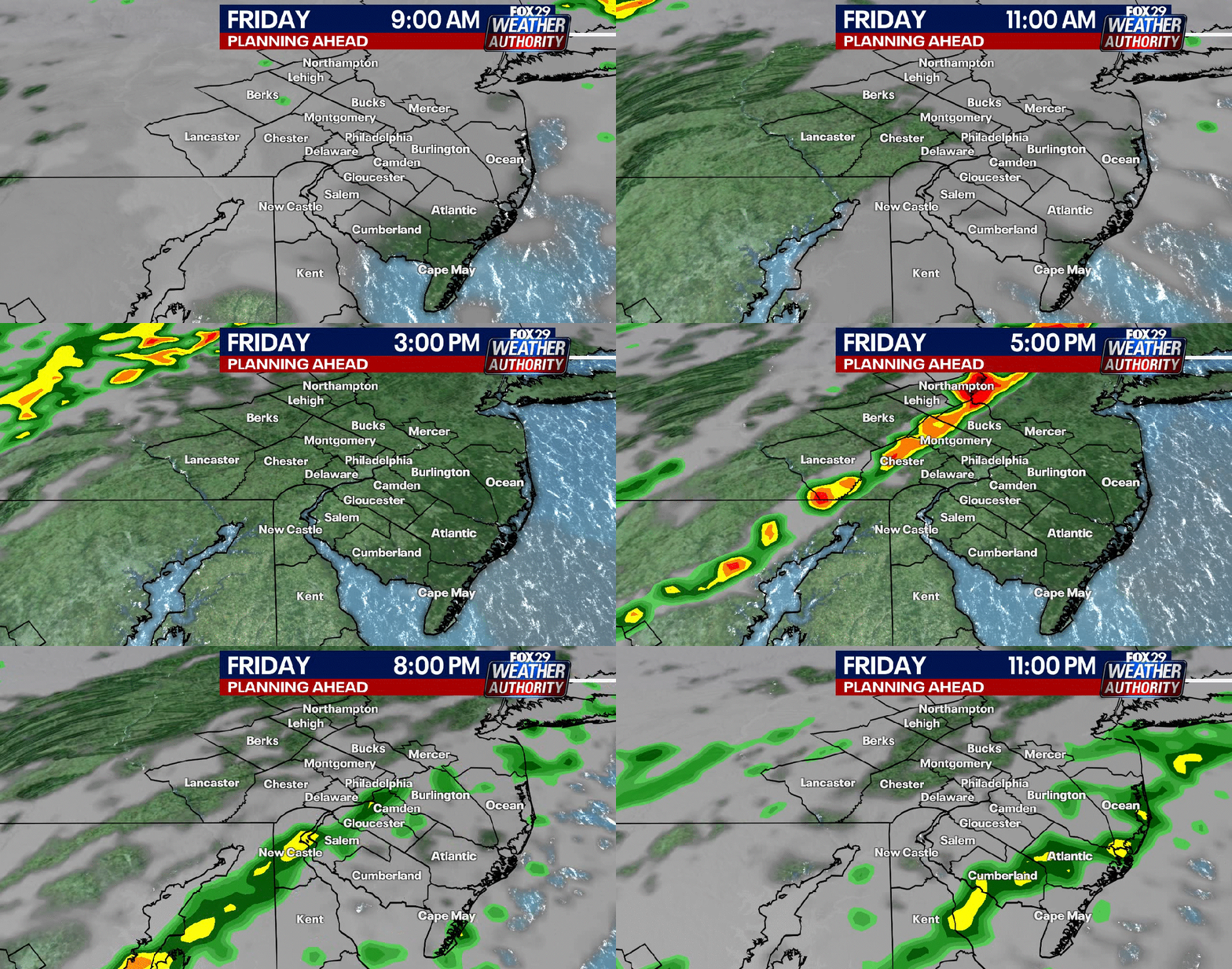 Thunderstorms possible Friday evening for Philadelphia area as cold front arrives
FOX 29's Sue Serio has a look at the weather whiplash that will impact the area Friday before a very seasonal weekend. PHILADELPHIA - A wet start is expected Friday with rain in the morning and possible thunderstorms…
-
 October 16 Severe Storm Risk This Evening Then Windy Then Frosty
October 16 Friday Morning Report If you saw rain return yesterday or even some lingering this morning with fog, that is the warmer air moving back in. A brief push back to the 80s today will be met by a strong cold…
-
 Severe Storm Threat Increases Friday Evening Across Coastal Delmarva
GALE WIND WATCH PRIME HOOK GALE WIND WATCH LEWES GALE WIND WATCH OCEAN CITY DELMARVA - Residents across Sussex County and coastal communities extending from Lewes and Rehoboth Beach south to Ocean City, Maryland, should…
Air quality
Air quality is satisfactory, and air pollution poses little or no risk.
Forecast
- SunModerate (51)
- MonModerate (55)
South Coastal, NJ reporting area · 1 hr ago. Data from AirNow (EPA and its state, local and tribal partners); preliminary and subject to change.
Sun & moon
Almanac
MonthlyAtlantic City Area, records since 1943. Normals 1991–2020. Data from NOAA's Regional Climate Centers (ACIS).
Nearby
- Vineland 45 km
- South Vineland 43 km
- Sicklerville 59 km
- Atlantic City 16 km
- Millville 42 km
- Bridgeton 59 km
- Pleasantville 13 km
- Ocean Acres 58 km
- Williamstown 58 km
- Hammonton 44 km
- Somers Point 5 km
- Ventnor City 11 km
Forecasters' discussion
From the National Weather Service office in PHI, issued 6 hrs ago
What Has Changed
All sections updated. No significant changes.
Key Messages
1. Another round of frost and freeze impacts are expected tonight where the growing season continues.
2. Spotty minor tidal flooding may linger today.
Discussion
KEY MESSAGE 1...Another round of frost and freeze impacts are expected tonight where the growing season continues.
Little change in the overall synoptic pattern is expected today and tonight with strong surface high pressure essentially overhead. The high will weaken Monday and drift to the south. Slow moderation of temperatures begin today and continue Monday.
Frost Advisories and Freeze Warnings will continue into the morning with clear skies and calm air across the area. We'll see lows in the 30s across most areas with 40s along the shore. Colder temps, perhaps some upper 20s, may be observed in the Pine Barrens and up across the deeper valleys of North NJ and across into the southern Poconos. Like yesterday, we'll evaluate the overnight lows to determine if more counties will join the 'Growing Season Ended' list. Check out our recent Public Information Statements to see the Current status of the growing season.
Temperatures today will be a few degrees milder than on Saturday under sunny skies. With skies remaining clear tonight, another round of frost is possible tonight into Monday morning. Lows around the region will mainly be in the mid 30s to low 40s. Depending on how Sat night's frost advisories pan out will determine where frost advisories may be warranted for the upcoming night...more details to come in future updates.
KEY MESSAGE 2...Spotty minor tidal flooding may linger today.
Water levels are continuing to decrease in the back bay areas of Ocean County, NJ and Sussex County, Delaware and no further widespread tidal flooding is expected. Spotty minor tidal flooding may linger in the back bays though today.
Aviation
The following discussion is for KPHL, KPNE, KTTN, KABE, KRDG, KILG, KMIV, KACY and surrounding areas.
thru 12Z Sunday...VFR/SKC. Calm winds. High confidence.
Sunday...VFR/SKC. Calm winds in the morning, settling out of the southwest less than 5 kts after 15-16Z. High confidence.
Outlook...
Sunday night through Thursday...VFR. No significant weather expected.
Forecasts, observations and alerts in the United States come from the National Weather Service (NOAA); radar from NOAA's Multi-Radar Multi-Sensor system; satellite imagery from NASA's Global Imagery Browse Services (GIBS) and NOAA's GOES satellites; the map from the U.S. Geological Survey's National Map; air quality from AirNow (EPA and its partners); hurricane information from the National Hurricane Center; climate normals and records from NOAA's Regional Climate Centers (ACIS). Forecasts outside the United States and the UV index: MET Norway (CC BY 4.0); observations outside the U.S.: airport reports via NOAA's Aviation Weather Center. Place names: GeoNames (CC BY 4.0). Data are copied on a schedule and may lag the sources; for warnings that affect your safety, follow your local National Weather Service office and emergency officials. Weather news is drawn from the 4Search index and reflects what the press published. Terms of use. How to use Weather