Install
Grand Forks, ND Weather
Current conditions
Forecast for this hour (no station report in the last two hours)
Forecast
10-day-
Tonight
Mostly clear. Low around 32, with temperatures rising to around 35 overnight. West wind 6 to 10 mph.
-
Sunday
Mostly sunny. High near 49, with temperatures falling to around 47 in the afternoon. Northwest wind 5 to 9 mph.
-
Sunday Night
Mostly cloudy, with a low around 27. North wind 5 to 8 mph.
National Weather Service forecast updated 11 hrs ago.
Hourly
Hourly forecast- Now43°
- 11 PM41°
- Sun12 AM41°
- 1 AM39°
- 2 AM38°
- 3 AM37°
- 4 AM36°
- 5 AM35°
- 6 AM34°
- 7 AM34°
- 8 AM32°
- 9 AM34°
- 10 AM40°
- 11 AM43°
- 12 PM45°
- 1 PM47°
- 2 PM48°
- 3 PM48°
- 4 PM49°
- 5 PM47°
- 6 PM46°
- 7 PM44°
- 8 PM41°
- 9 PM39°
Daily forecast
Details- TodayOct 24Mostly Sunny32°56°
- SunOct 25Mostly Sunny27°49°
- MonOct 26Partly Sunny48%29°45°
- TueOct 27Chance Light Rain48%36°47°
- WedOct 28Chance Light Rain43%31°52°
- ThuOct 29Partly Sunny32°50°
- FriOct 30Partly Sunny25%34°51°
- SatOct 31Partly cloudy27°42°
Days after the National Weather Service's seven are MET Norway's outlook, a computer model with no forecaster's review.
Radar
Full mapWeather news near Grand Forks
More weather news-
 Tracking warmer but windier weather to end the work week
Grand Forks Herald Tracking warmer but windier weather to end the work week
-
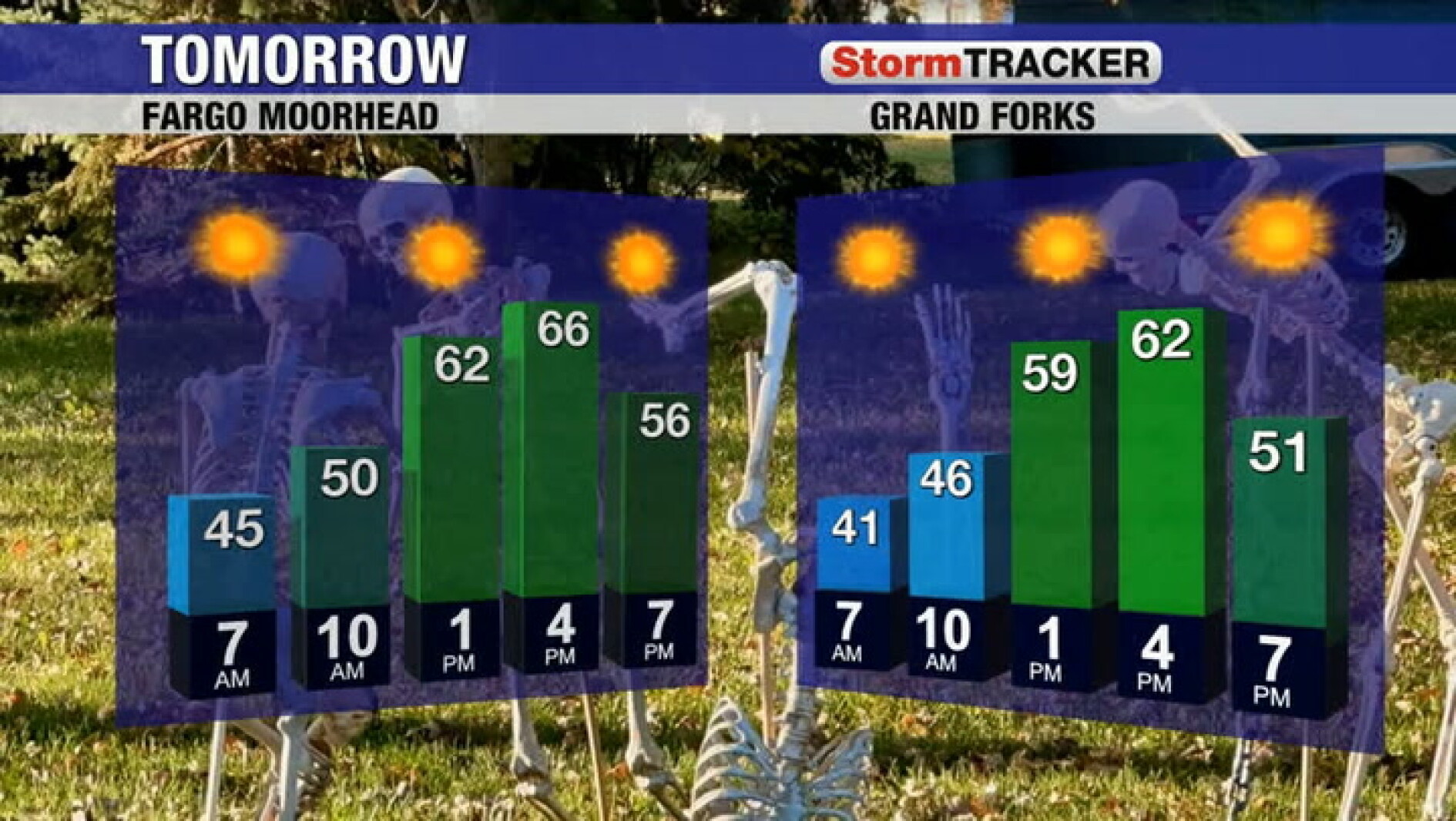 Tracking plenty of sun but less wind for Wednesday
Grand Forks Herald Tracking plenty of sun but less wind for Wednesday
-
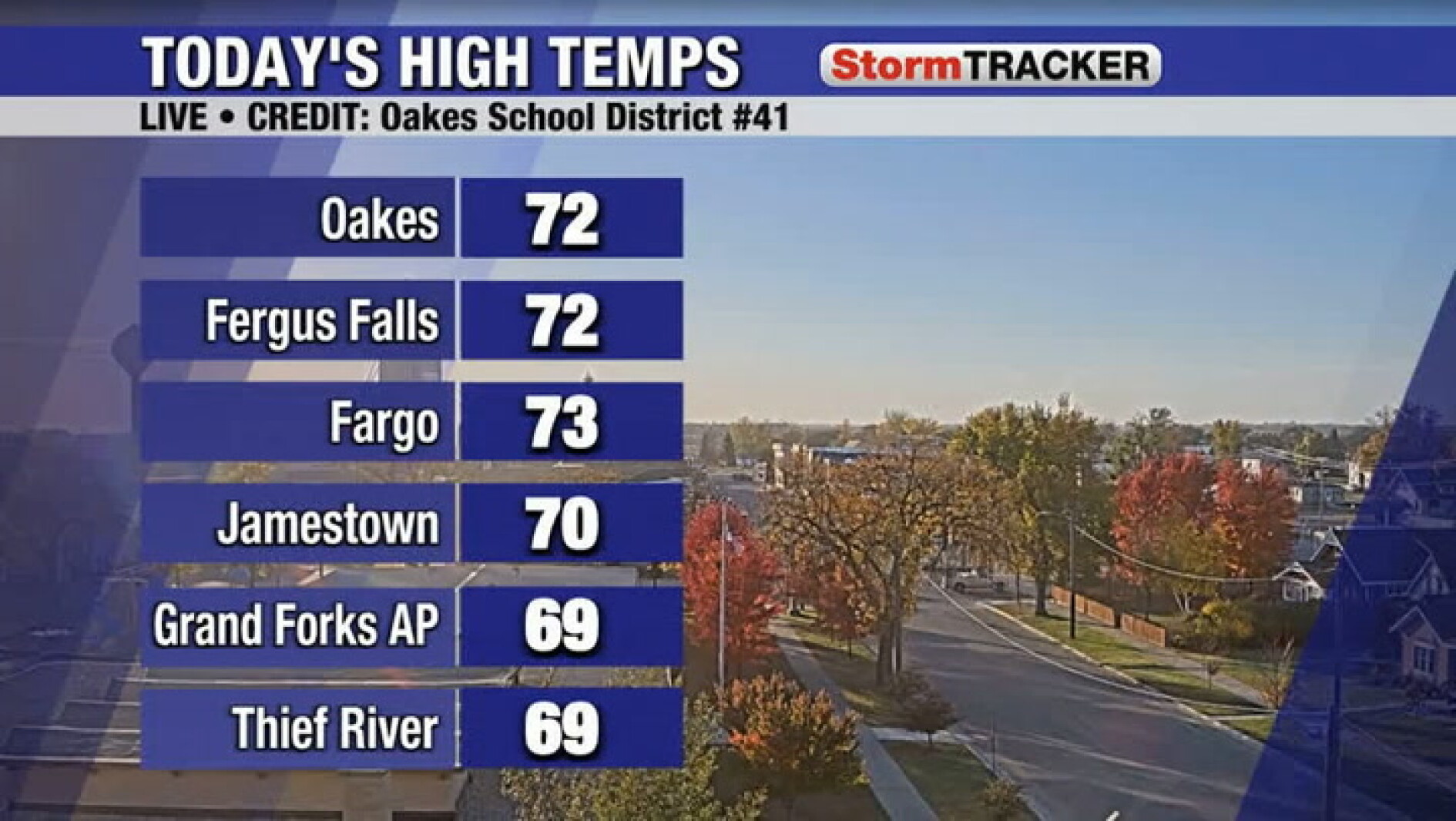 Tracking lighter winds for your Wednesday
Grand Forks Herald Tracking lighter winds for your Wednesday
-
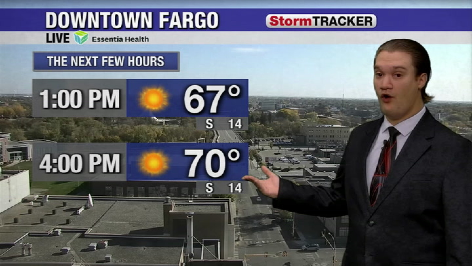 Sunshine continues this afternoon, with some seeing highs near 70°
Grand Forks Herald Sunshine continues this afternoon, with some seeing highs near 70°
-
 Warm week ahead before weekend changes start Friday
First Alert StormTeam Weather Warm October temperatures and sunny skies will be the rule for much of the workweek. Our next weather maker arrives Friday, bringing wind, rain showers, and a temperature change heading…
-
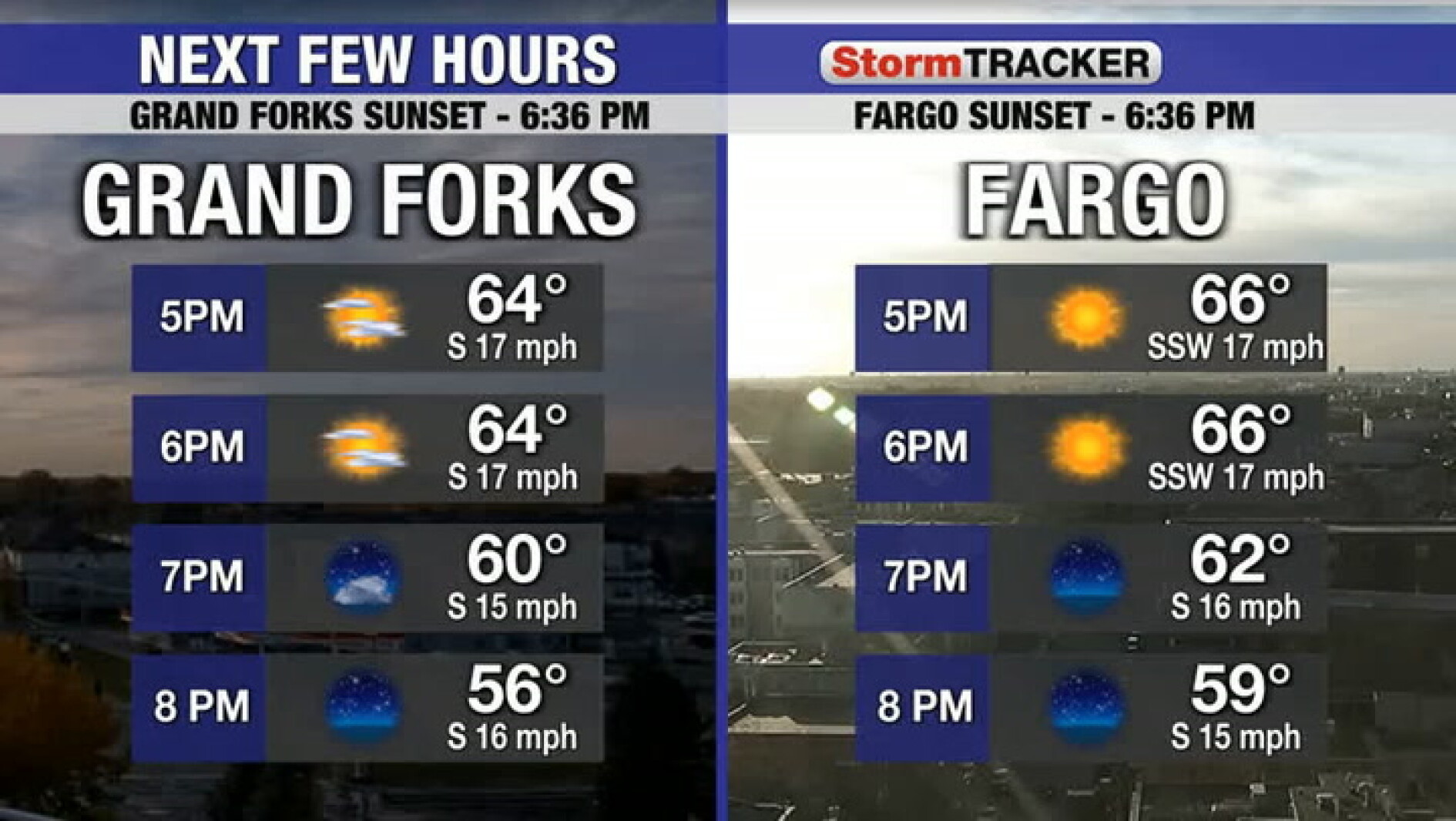 Mild and a bit breezy this evening
Grand Forks Herald Mild and a bit breezy this evening
- North Dakota Weather Today: 30 MPH Gusts Before 70° Sunday Oct 18
Grand Forks, ND – Residents across eastern North Dakota and northwestern Minnesota can expect an unusually pleasant stretch of fall weather this weekend, October 17-18, with sunshine, breezy conditions and temperatures…
-
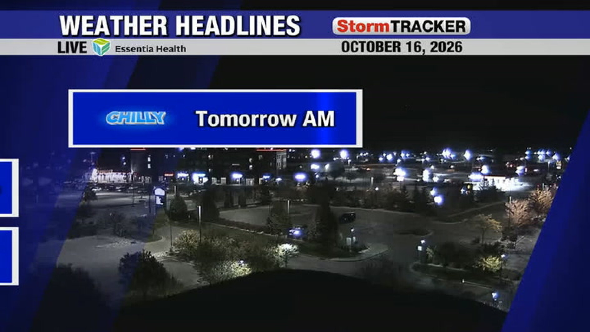 Chilly start to tomorrow followed by a warm and sunny afternoon
Grand Forks Herald Chilly start to tomorrow followed by a warm and sunny afternoon
-
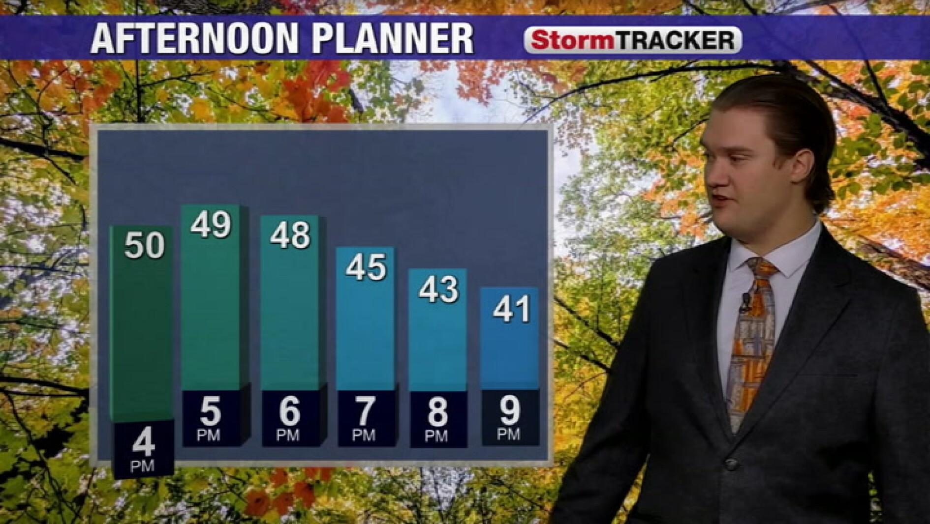 Cool fall weather continues into the evening across the valley
Grand Forks Herald Cool fall weather continues into the evening across the valley
-
 National Weather Service forecasts record El Niño this winter. What does that mean for Grand Forks?
VINCENT VILLARREAL FOUND GUILTY OF MURDER GRAND FORKS — The National Weather Service of Grand Forks is forecasting a record El Niño this winter. For the immediate region, this may mean above-average temperatures during…
Air quality
Air quality is satisfactory, and air pollution poses little or no risk.
Forecast
- SatGood (33)
- SunGood
- MonGood
Red River Valley North, MN reporting area · 1 hr ago. Data from AirNow (EPA and its state, local and tribal partners); preliminary and subject to change.
Sun & moon
Almanac
MonthlyGrand Forks Univ (nws), records since 1893. Normals 1991–2020. Data from NOAA's Regional Climate Centers (ACIS).
Nearby
- East Grand Forks 1 km
- Crookston 36 km
- Grand Forks Air Force Base 27 km
Forecasters' discussion
From the National Weather Service office in FGF, issued 6 hrs ago
Key Messages
- Precipitation chances Monday into Tuesday mainly south of US-2, some may see the first snowflakes of the season overnight.
- Seasonable high temperatures in the 40s and 50s will be common throughout the next week.
Discussion
Issued at 323 PM CDT Sat Oct 24 2026
...Synopsis...
Behind a sweeping cold front skies are becoming mostly clear with dry air advecting in, while temperatures have returned to seasonal values with lows in the 20s and 30s tonight. The overall pattern through the next week results in persistent precipitation chances as the region rides in a baroclinic zone with southwest flow aloft. This also favors no significant fluctuation from these near average temperatures, though trending slightly warmer for the second half of the week.
Ensemble guidance shows increased potential for a hybrid-type, progressive shortwave and associated low pressure system to move through the Northern Plains and Upper Midwest Monday into Tuesday. Confidence is high for periods of rain for areas south of US-2, while more moderate confidence exists for the extent of moisture into the northern zones as well as any accumulation of snow occurring overnight. This will largely be depending on forcing and having sufficient rates to accumulating more than a dusting on elevated or grassy surfaces. The most favorable area for seeing snow is west of the Red River Valley Monday night, though most model solutions support areas with heavier precipitation rates remaining as rain or a mix.
Aviation
Issued at 1225 PM CDT Sat Oct 24 2026
Showers have pushed east of the terminals, while some MVFR ceilings linger for a couple more hours around KBJI and KTVF. Otherwise, VFR conditions prevail with winds continuing to decrease through the afternoon. Westerly gusts around 25 kts with a few gusts near 30 kts at KDVL and KGFK through 20Z, transitioning to gusts under 15 kts after 00Z.
Fgf Watches
ND...None. MN...None.
Forecasts, observations and alerts in the United States come from the National Weather Service (NOAA); radar from NOAA's Multi-Radar Multi-Sensor system; satellite imagery from NASA's Global Imagery Browse Services (GIBS) and NOAA's GOES satellites; the map from the U.S. Geological Survey's National Map; air quality from AirNow (EPA and its partners); hurricane information from the National Hurricane Center; climate normals and records from NOAA's Regional Climate Centers (ACIS). Forecasts outside the United States and the UV index: MET Norway (CC BY 4.0); observations outside the U.S.: airport reports via NOAA's Aviation Weather Center. Place names: GeoNames (CC BY 4.0). Data are copied on a schedule and may lag the sources; for warnings that affect your safety, follow your local National Weather Service office and emergency officials. Weather news is drawn from the 4Search index and reflects what the press published. Terms of use.