Install
Concord, NC Weather
Current conditions
Observed at Concord Regional Airport · 52 min ago
Forecast
10-day-
Tonight
Clear, with a low around 46. North wind around 5 mph.
-
Wednesday
Sunny, with a high near 72. North northeast wind around 7 mph.
-
Wednesday Night
Clear, with a low around 44. North wind around 2 mph.
National Weather Service forecast updated 16 hrs ago.
Hourly
Hourly forecast- Now56°
- 11 PM54°
- Wed12 AM53°
- 1 AM52°
- 2 AM50°
- 3 AM50°
- 4 AM49°
- 5 AM47°
- 6 AM47°
- 7 AM47°
- 8 AM47°
- 9 AM50°
- 10 AM56°
- 11 AM61°
- 12 PM64°
- 1 PM67°
- 2 PM68°
- 3 PM70°
- 4 PM71°
- 5 PM70°
- 6 PM68°
- 7 PM64°
- 8 PM59°
- 9 PM57°
Daily forecast
Details- TodayOct 20Sunny46°75°
- WedOct 21Sunny44°72°
- ThuOct 22Sunny46°74°
- FriOct 23Sunny41°70°
- SatOct 24Sunny40°64°
- SunOct 25Sunny43°70°
- MonOct 26Sunny47°75°
- TueOct 27Cloudy47°72°
- WedOct 28Sunny47°71°
Days after the National Weather Service's seven are MET Norway's outlook, a computer model with no forecaster's review.
Radar
Full mapWeather news near Concord
More weather news- UPDATE: Coastal New Hanover placed under a high surf advisory until Tuesday morning
Charlotte Observer The creation of this content included the use of AI based on templates created, reviewed and edited by journalists in the newsroom. Read more on our AI policy here. On Tuesday at 2:14 a.m. an updated…
-
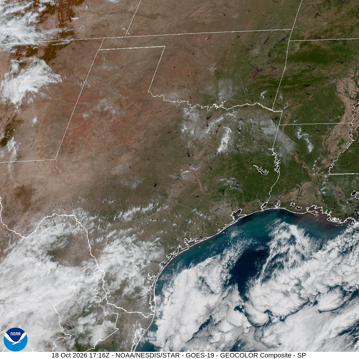 Houston pollen forecast highlights ragweed, sagebrush and elm
Houston’s brief taste of fall will give way to sunny skies and a gradual warming trend this week, with dry weather potentially keeping allergy symptoms in the picture. High pressure settling to the northeast will steer…
- Cold end to the weekend in the Carolinas, Warmer this week. First Alert forecast here:
CHARLOTTE, N.C. (WBTV) - Here is your first alert for a big change in the Carolinas. After a summer-like end to the week, including the latest 90-degree day on record for Charlotte, a strong cold front has brought the…
- UPDATE: High surf advisory active for Eastern Currituck until Wednesday morning
Charlotte Observer The creation of this content included the use of AI based on templates created, reviewed and edited by journalists in the newsroom. Read more on our AI policy here. The NWS Wakefield VA issued an…
- UPDATE: High surf advisory in place for Ocracoke Island for Sunday and Monday
Charlotte Observer The creation of this content included the use of AI based on templates created, reviewed and edited by journalists in the newsroom. Read more on our AI policy here. The NWS Newport/Morehead City NC…
-
 Freeze, frost warnings issued for multiple counties for Western North Carolina: What to know
CHARLOTTE, N.C. (WBTV) - Freeze and frost warnings were issued for multiple counties in western North Carolina for early Sunday morning. A freeze warning was issued for Ashe and Avery counties from 1 a.m. to 9 a.m. for…
- UPDATE: High surf advisory issued for East Carteret for Sunday and Monday
Charlotte Observer The creation of this content included the use of AI based on templates created, reviewed and edited by journalists in the newsroom. Read more on our AI policy here. The NWS Newport/Morehead City NC…
-
 FORECAST: Cold front ends summer-like heat with chilly, windy weekend
WSOC TV FORECAST: Cold front ends summer-like heat with chilly, windy weekend CHARLOTTE â ABOVE: The latest forecast update from Severe Weather Center 9. To stay on top of changing weather conditions, be sure to…
-
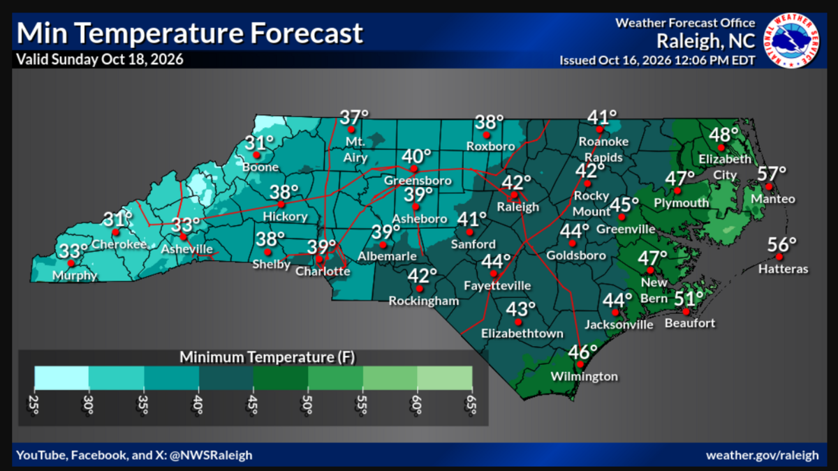 Cold front to bring low in 30s to Charlotte area. Mountains may get snow, NWS says
A dramatic change in temperatures this weekend could see Charlotte drop into the 30s after dark, and there might actually be snow in the mountains, according to the National Weather Service. Models show temperatures on…
-
 Peak season is upon us across the North Carolina mountains
Dr. Howard Neufeld, also as known as "Fall Color Guy", says peak colors will likely begin this weekend across the North Carolina mountains. Peak season is upon us across the North Carolina mountains Peak fall foliage…
Air quality
Forecast
- TueGood (40)
- WedGood (40)
- ThuGood (40)
Cabarrus County, NC reporting area. Data from AirNow (EPA and its state, local and tribal partners); preliminary and subject to change.
Sun & moon
Almanac
MonthlyConcord, records since 1891. Normals 1991–2020. Data from NOAA's Regional Climate Centers (ACIS).
Nearby
- Charlotte 31 km
- Gastonia 57 km
- Huntersville 24 km
- Kannapolis 9 km
- Indian Trail 38 km
- Mooresville 28 km
- Monroe 47 km
- Salisbury 31 km
- Matthews 35 km
- Cornelius 27 km
- Statesville 50 km
- Mint Hill 26 km
Forecasters' discussion
From the National Weather Service office in GSP, issued 3 hrs ago
What Has Changed
Updated for 00z aviation discussion and to remove Fire Danger information from this afternoon.
Key Messages
1. Dry through early next week. Above normal high temperatures linger through Thursday before near to below normal highs develop Friday into the weekend. Above normal highs return by early next week.
Discussion
Key message 1: Dry through early next week. Above normal high temperatures linger through Thursday before near to below normal highs develop Friday into the weekend. Above normal highs return by early next week.
Coastal low stalls off the Mid-Atlantic coast through Wednesday night before gradually lifting away from Mid-Atlantic Coast Thursday into Thursday night. Meanwhile, the southern periphery of a surface ridge remains extended over the Southeast keeping dry and above normal highs around through Thursday. The center of the high shifts more south and east over New England Friday into Sunday allowing dry classic cold air damming to develop. Although mostly sunny skies will prevail, cooler highs should develop Friday into the weekend, especially on Saturday when the wedge is at its strongest. Highs on Saturday should end up at least around 5 degrees below normal but could trend cooler in the coming days. Above normal highs may return by early next week as the center of the high sinks southward towards the Carolinas but confidence is low as the wedge could linger with no true erosion mechanism expected to arrive. Dry conditions will linger through early next week.
No major freeze concerns through the period with lows expected to remain above freezing for locations where the growing season is still active. If the pressure gradient is able to relax enough Saturday night, frost may develop across the North Carolina and Georgia mountains thanks to great radiational cooling conditions.
Aviation
At KCLT and elsewhere: VFR through the period at TAF sites. Expect another round of mountain valley fog/low stratus overnight into the predawn hours, but should not impact the terminals. Winds generally out of the N to NNE, hovering around 5kt though possibly going lgt/vrb overnight.
Outlook: Dry and VFR through early next week outside of the potential for patchy fog and low stratus each morning in the mountain valleys and near lakes.
Forecasts, observations and alerts in the United States come from the National Weather Service (NOAA); radar from NOAA's Multi-Radar Multi-Sensor system; satellite imagery from NASA's Global Imagery Browse Services (GIBS) and NOAA's GOES satellites; the map from the U.S. Geological Survey's National Map; air quality from AirNow (EPA and its partners); hurricane information from the National Hurricane Center; climate normals and records from NOAA's Regional Climate Centers (ACIS). Forecasts outside the United States and the UV index: MET Norway (CC BY 4.0); observations outside the U.S.: airport reports via NOAA's Aviation Weather Center. Place names: GeoNames (CC BY 4.0). Data are copied on a schedule and may lag the sources; for warnings that affect your safety, follow your local National Weather Service office and emergency officials. Weather news is drawn from the 4Search index and reflects what the press published. Terms of use.