Install
Clever, MO Weather
Current conditions
Observed at Springfield-Branson National Airport · 1 hr ago
Forecast
10-day-
Today
A chance of rain showers between 10am and 11am. Partly sunny, with a high near 68. Southeast wind around 5 mph.
-
Tonight
Partly cloudy, with a low around 47. Wind chill values as low as 48. Southeast wind around 3 mph.
-
Wednesday
Mostly sunny, with a high near 72. South wind 0 to 3 mph.
National Weather Service forecast updated 4 hrs ago.
Hourly
Hourly forecast- Now54°
- 10 AM58°12%
- 11 AM61°
- 12 PM64°
- 1 PM66°
- 2 PM67°
- 3 PM68°
- 4 PM68°
- 5 PM68°
- 6 PM65°
- 7 PM62°
- 8 PM61°
- 9 PM57°
- 10 PM56°
- 11 PM55°
- Wed12 AM54°
- 1 AM53°
- 2 AM52°
- 3 AM51°
- 4 AM49°
- 5 AM48°
- 6 AM48°
- 7 AM47°
- 8 AM48°
10-day forecast
Details- TodayOct 20Chance Rain Showers then Partly Sunny12%47°68°
- WedOct 21Mostly Sunny48°72°
- ThuOct 22Sunny50°75°
- FriOct 23Sunny51°74°
- SatOct 24Mostly Sunny53°76°
- SunOct 25Partly Sunny52°74°
- MonOct 26Mostly Sunny50°73°
- TueOct 27Partly cloudy49°72°
- WedOct 28Cloudy52°68°
- ThuOct 29Cloudy47°62°
Days after the National Weather Service's seven are MET Norway's outlook, a computer model with no forecaster's review.
Radar
Full mapWeather news near Clever
More weather news-
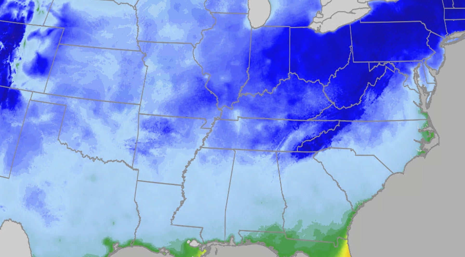 Coldest air of the season arriving this weekend for millions
The Weather Channel A shock to the system: Coldest air of the season coming this weekend Get ready for the first real taste of fall for millions across the eastern half of the country, as a powerful cold front sends…
-
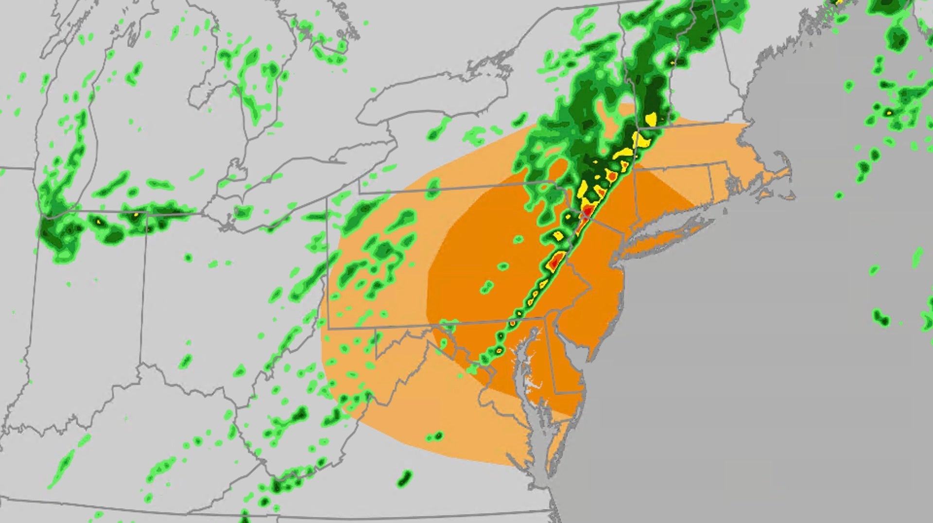 Severe storms target DC, Philadelphia, New York
The Weather Channel Severe storms bring damaging winds, tornado threat to Northeast Severe storms will take aim at parts of the mid-Atlantic and Northeast on Friday, including the risk for damaging winds and tornadoes…
-
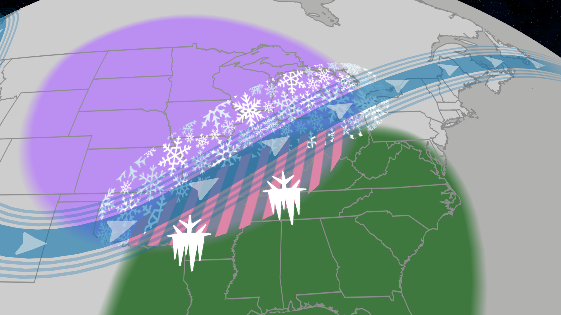 El Niño winter forecast: lake-effect snow and ice storm risk
The Weather Channel El Niño winter forecast: why warmer doesn't mean less snow or ice An El Niño winter means warmer than average temperatures for the Northern Tier, but that doesn't mean snow and ice are off the table…
-
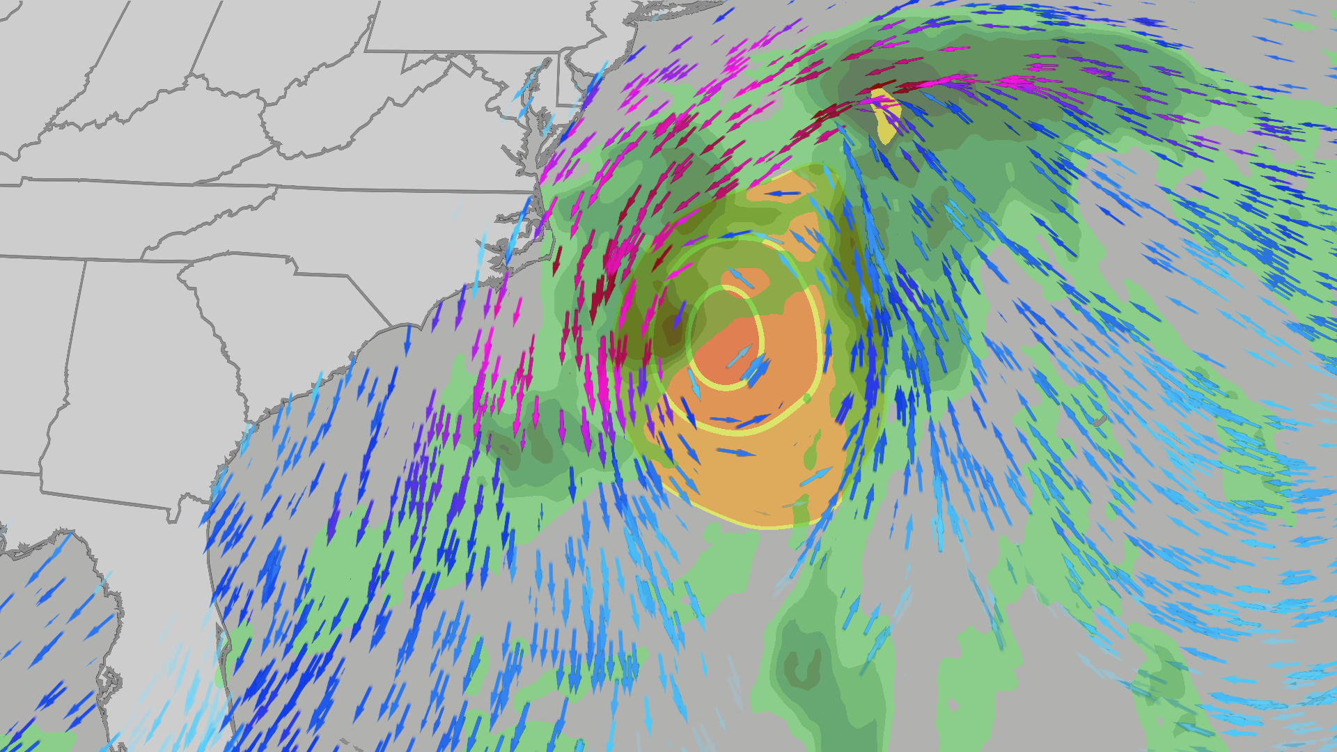 Coastal storm next week could bring wind, surf, rip currents
The Weather Channel A closer look at a possible coastal storm next week off the East Coast Low pressure is forecast to develop off the East Coast next week and could linger for days. Here's what could happen. Eerie red…
-
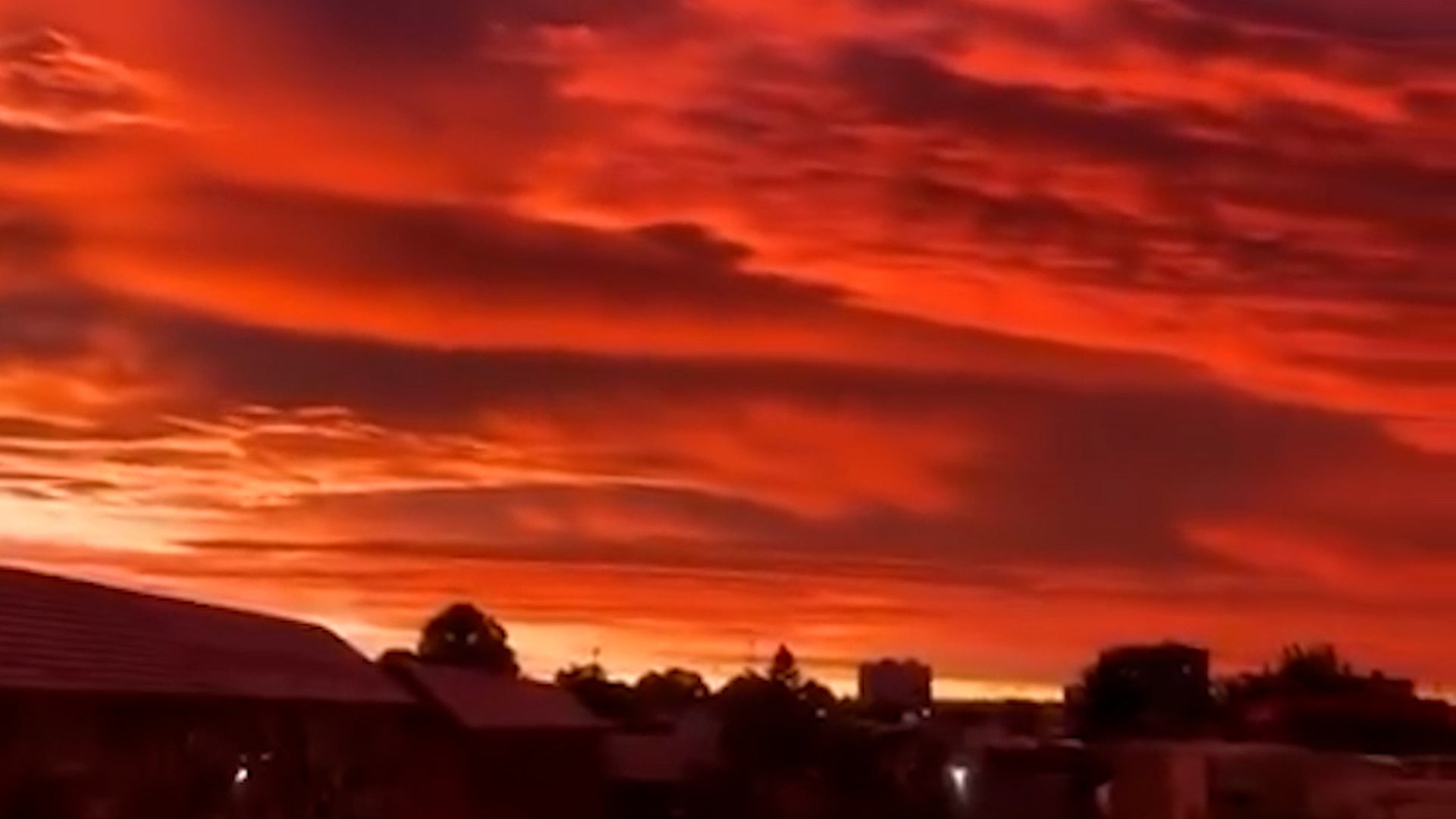 Red sky over Chile: Eerie sunset glows over Temuco
Eerie red sky over Temuco, Chile: Why the sunset glowed so red The Weather Channel Eerie red sky over Temuco, Chile: Why the sunset glowed so red The sky over Temuco in southern Chile glowed an eerie, deep red at…
-
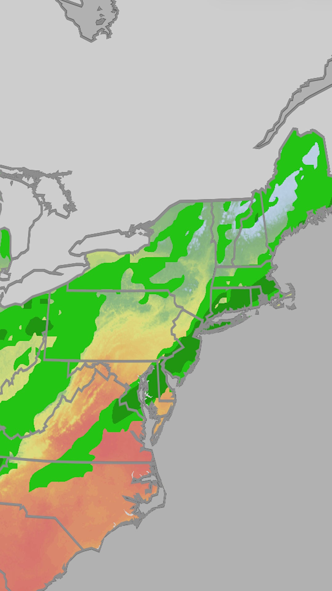 Fall on the way for Northeast
The Weather Channel Fall on the way for Northeast Deadly chaos as floods sweep away cars, trap dozens in Istanbul El Niño's power unleashed on Iguazu Falls Giant inflatable pumpkin rolls down North Carolina road Wow!…
-
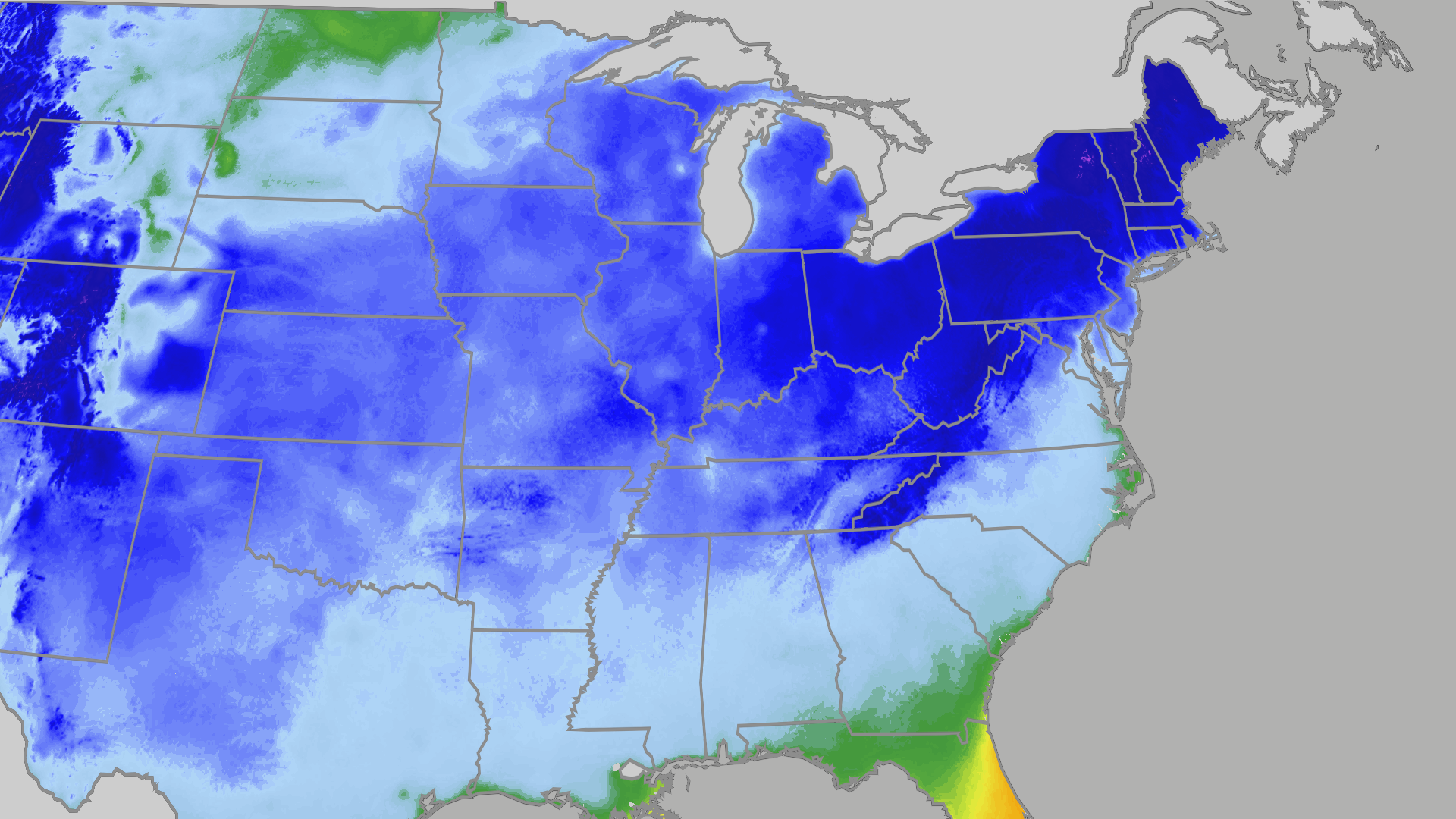 Temperatures to plunge across East this weekend
The Weather Channel Millions across central, eastern US to see first real chill The coldest air of the season is on its way, working its way across much of the country by the weekend. Highs across the South will drop to…
-
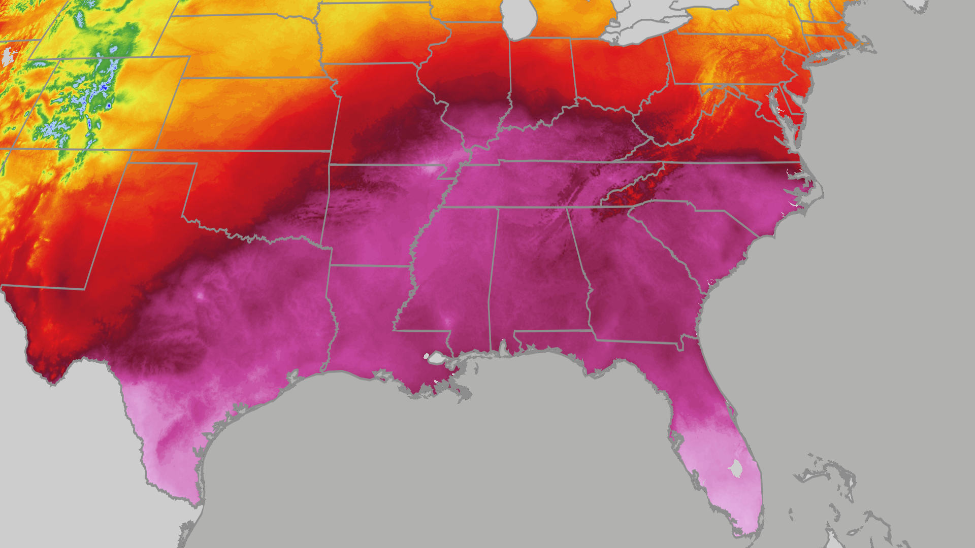 Summerlike record heat for Atlanta, Nashville, Charlotte
The Weather Channel Record heat persists across the Southeast today; highs in 80s, 90s The Southeast still feels like summer as record-warm temperatures persist on Thursday. Dozens of record highs could fall as…
-
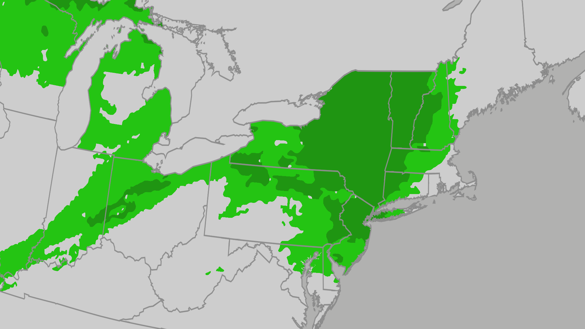 Severe storms target New York, Philadelphia on Friday
The Weather Channel Showers, storms target Northeast, including New York City, Boston Showers and thunderstorms move across the Northeast on Friday ahead of a cold front, bringing a chance of severe weather to cities…
-
 The perfect El Niño example: Iguazu Falls flooding
The Weather Channel El Niño's power unleashed on Iguazu Falls El Niño is putting on a show at Iguazu Falls, which is now flowing at six times the normal rate and closed to tourists after heavy rainfall. Argentina's…
Air quality
Acceptable. Unusually sensitive people should consider limiting prolonged outdoor exertion.
Springfield, MO reporting area · 1 hr ago. Data from AirNow (EPA and its state, local and tribal partners); preliminary and subject to change.
Sun & moon
Nearby
- Springfield 26 km
- Nixa 16 km
- Ozark 24 km
- Republic 10 km
- Branson 49 km
- Monett 42 km
- Aurora 23 km
- Battlefield 13 km
- Willard 31 km
- Mount Vernon 32 km
- Hollister 51 km
- Rogersville 38 km
Forecasters' discussion
From the National Weather Service office in SGF, issued 3 hrs ago
Key Messages
- Warming trend this week, with above normal temperatures returning. Highs in the middle to upper 70s are likely late week and into the weekend. Mostly dry weather expected to persist.
- The CPC gives a 70-80% chance for above normal temperatures to persist through the end of October.
Short Term
Issued at 215 AM CDT Tue Oct 20 2026
Current Conditions and Synoptic Overview: Water vapor and upper air analysis shows a weak area of lift/energy moving east out of Missouri with another area moving out of the Rockies. The 00z KSGF sounding and surrounding area obs continues to show a dry airmass in place. While some saturation exists around 15-20kft, a large dry layer exists below. Northeast surface winds across the Gulf of America are not allowing for much low level moisture to return north. Mid level clouds were moving through the area at times and were helping to keep temps warmer than this time yesterday. Many areas remained in the upper 40s to lower 50s with the exception of the typical cold spots in valleys and wind protected areas.
Few Sprinkles Today through Wednesday, Otherwise Warm: Weak lift/vorticity will overspread the area today and again early Wednesday. This will allow for periods of mid level clouds and a few sprinkles/virga at times, especially west of Highway 65. These clouds will also help keep high temps from otherwise reaching higher values. However highs should still reach the lower 70s in many areas.
Long Term
Issued at 215 AM CDT Tue Oct 20 2026
Above Average Temps and Dry Conditions Late Week/Weekend: Ensembles are in decent agreement that a mid level ridge will expand north into the central plains as upper energy moves into southern California. 850mb temps will gradually warm into the 13-16C range and this combined with less cloudcover will support gradually increasing temps. High temps will reach the middle to upper 70s Thursday through the weekend. These temps are roughly 5-10 degrees above average for mid/late October. This upper level pattern does not favor rain chances with chances staying below 10 percent through the weekend.
Aviation
Issued at 517 AM CDT Tue Oct 20 2026
Confidence is high that VFR conditions will prevail through the TAF period. Mid and high clouds around 15kft will move through during the period. While a few sprinkles are possible at times, mostly dry conditions are expected. Winds will remain light out of the southeast, generally less than 10kts.
Forecasts, observations and alerts in the United States come from the National Weather Service (NOAA); radar from NOAA's Multi-Radar Multi-Sensor system; satellite imagery from NASA's Global Imagery Browse Services (GIBS) and NOAA's GOES satellites; the map from the U.S. Geological Survey's National Map; air quality from AirNow (EPA and its partners); hurricane information from the National Hurricane Center; climate normals and records from NOAA's Regional Climate Centers (ACIS). Forecasts outside the United States and the UV index: MET Norway (CC BY 4.0); observations outside the U.S.: airport reports via NOAA's Aviation Weather Center. Place names: GeoNames (CC BY 4.0). Data are copied on a schedule and may lag the sources; for warnings that affect your safety, follow your local National Weather Service office and emergency officials. Weather news is drawn from the 4Search index and reflects what the press published. Terms of use.