Install
Marysville, MI Weather
Current conditions
Forecast for this hour (no station report in the last two hours)
Forecast
10-day-
Sunday Night
Patchy fog after 2am. Mostly cloudy, with a low around 47.
-
Monday
Patchy fog before 9am. Partly sunny, with a high near 62.
-
Monday Night
Mostly cloudy, with a low around 42.
National Weather Service forecast updated 2 days ago.
Hourly
Hourly forecast- Now55°
- 10 PM53°
- 11 PM52°
- Mon12 AM51°
- 1 AM51°
- 2 AM50°
- 3 AM49°
- 4 AM49°
- 5 AM48°
- 6 AM47°
- 7 AM47°
- 8 AM48°
- 9 AM51°
- 10 AM55°
- 11 AM58°
- 12 PM60°
- 1 PM61°
- 2 PM61°
- 3 PM61°
- 4 PM60°
- 5 PM59°
- 6 PM57°
- 7 PM54°
- 8 PM54°
Daily forecast
Details- FriOct 23Sunny37°63°
- SatOct 24Patchy Fog then Sunny43°64°
- TodayOct 25Patchy Fog then Mostly Sunny47°67°
- MonOct 26Patchy Fog then Partly Sunny42°62°
- TueOct 27Mostly Cloudy40°57°
- WedOct 28Partly Sunny48°64°
- ThuOct 29Mostly Sunny12%44°67°
- FriOct 30Cloudy42°58°
Days after the National Weather Service's seven are MET Norway's outlook, a computer model with no forecaster's review.
Radar
Full mapWeather news in Michigan
More weather news-
 Severe weather possible Tuesday in Southeast Michigan. Here's the timing and what to look for.
Updated on: April 14, 2026 / 11:50 PM EDT / CBS Detroit A severe weather threat exists for Tuesday, and Southeast Michigan is squarely in the path. A potent weather system is dragging unseasonably warm, humid air into…
-
 Old Farmer’s Almanac predicts Thanksgiving weather in Michigan for 2026
The Old Farmer's Almanac released their 2026 Thanksgiving Day weather outlook. The Old Farmer’s Almanac, known for its long-range weather forecasts, has released its Thanksgiving weather outlook for 2026, and it’s…
-
 Early Halloween forecast points to mild, mostly dry weather for Michigan
With Halloween set to take place next weekend, initial forecast projections are beginning to be made for the region. While forecasts are generally inaccurate this far out, initial outlooks are showing a solid day for…
-
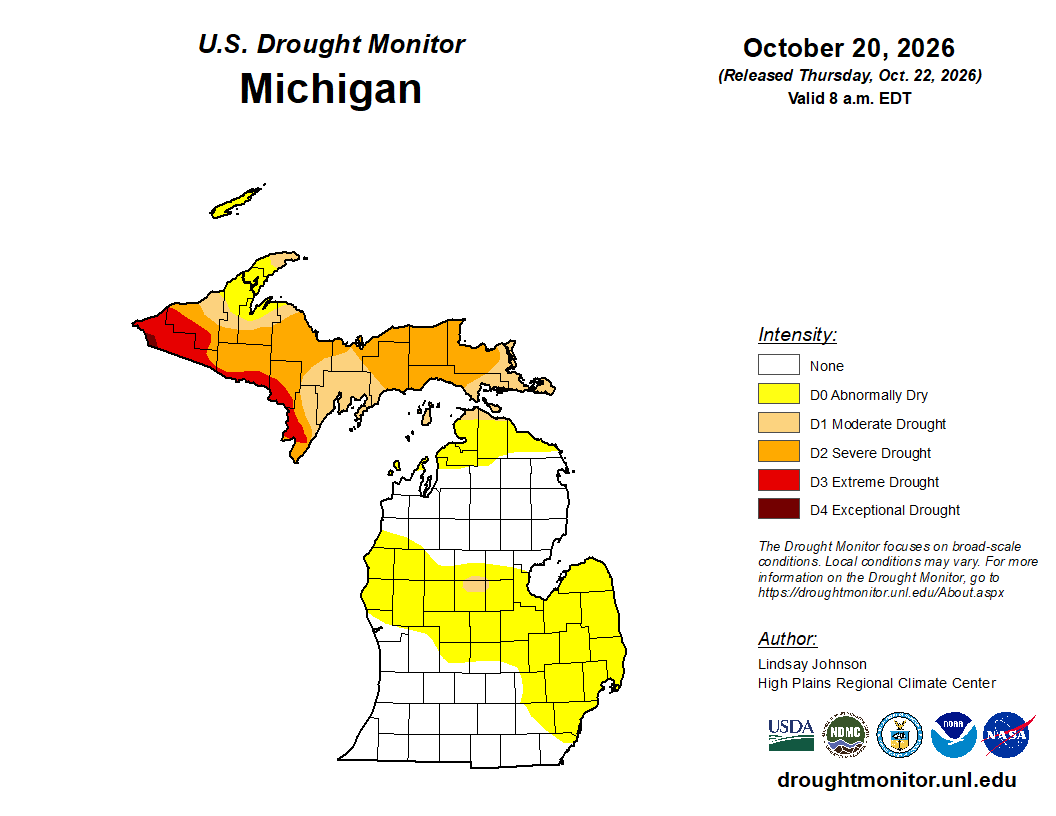 Mid-Michigan turns abnormally dry after a relatively dry October
Minor drought conditions are being observed in Mid-Michigan after a dry month. Minor drought conditions have been noted across the Mid-Michigan area as October has been notably dry. Currently, much of the Lower…
-
 Michigan's first snow: Average first snow dates by city for 2026
Most Michigan cities typically see their first snowfall between late October and mid-November. While cooler temperatures are expected to continue statewide, the question remains: When will the season’s first snowfall…
-
 Sunshine and Mild Temperatures Continue Across Southeast Michigan
ClickOnDetroit | WDIV Local 4 Trader Joe’s is expanding nationwide, including new Metro Detroit store Sunshine and Mild Temperatures Continue Across Southeast Michigan Oakland County Little League umpire shared child…
-
 How El Niño could impact the coming Michigan winter
The National Oceanic and Atmospheric Administration's seasonal weather outlook for winter 2026-27 is here, and it suggests the current El Niño could have a significant impact on Michigan. The NOAA predicts…
Sun & moon
Almanac
MonthlyPort Huron, records since 1931. Normals 1991–2020. Data from NOAA's Regional Climate Centers (ACIS).
Nearby
- Sterling Heights 58 km
- Clinton Township 51 km
- Shelby 52 km
- Sarnia 10 km
- Saint Clair Shores 57 km
- Roseville 59 km
- Port Huron 8 km
- Mount Clemens 47 km
- Fraser 56 km
- Rochester 59 km
- New Baltimore 33 km
- Lambton Shores 53 km
Forecasters' discussion
From the National Weather Service office in DTX, issued 5 hrs ago
Key Messages
- Dry weather continues through early next week with temperatures slightly above normal, despite a weak and dry cold front sagging southward across the region tonight into Monday.
- Potential for fog tonight mainly southern areas, with a better opportunity for patchy fog or low clouds developing across the Thumb and Tri-Cities region Monday night.
- The next appreciable chance for measurable rainfall holds off until Thursday, mainly for areas across the northern half of Southeast Michigan.
Discussion
A strong upper-level ridge over the western Gulf Coast states will be slow to break down over the next several days as it drifts east. The southern Great Lakes will reside on the northern fringe of this ridge. A weak and dry cold front looks to sink south tonight into Monday as expansive high pressure (1034 mb) builds over northern Ontario. Not much cooler air will reach the southern Michigan border, as 850 mb temps hold in the upper single digits to near 10 C early next week.
Cooler air and light easterly flow will infiltrate the northern half of the CWA, which could be conducive for fog or low cloud development over the Thumb and Tri-Cities regions Monday night. For tonight, potential fog development looks to be confined to the southern half of the CWA. However, with light southwest flow ahead of the cold front, prospects appear much lower compared to the past couple of days without the marine influence in play.
Today marks the 9th consecutive dry day in a row, and it continues to look like we will be hard pressed to generate measurable rainfall. The best chance over the next 5 days looks to be on Thursday, as Euro ensembles indicate chances increasing to at or above 50 percent for a hundredth of an inch across the northern half of the CWA. With the upper-level wave and jet energy just beginning to track into the Gulf of Alaska at the present time, sticking with the lower-chance PoPs of the NBM is reasonable.
Marine
A moisture-starved cold front is approaching Lake Huron this afternoon. Latest radar data shows a few scattered light showers along a trough axis over central Huron, well ahead of the boundary. Broader coverage of showers exists along the boundary, near The Straits. The front will take the course of the night to advance across the central waterways, featuring decreasing chances for additional rainfall. Post-frontal northerly flow ensues resulting in rising winds and waves. Depending on when flow turns more northeasterly, there could be a brief period of max waves heights above 5 feet for portions of Saginaw Bay and southern Lake Huron where fetch is maximized. Therefore, a short-fused Small Craft Advisory may be needed Monday evening. High pressure then translates southeastward across Ontario on Tuesday, before settling over New England by Wednesday. Winds will slowly veer easterly during this time. Several additional waves of low pressure are expected to track northeastward from The Plains through the Upper Midwest during the the mid-late week time-fram, with winds and waves largely holding below headline criteria.
Prev Discussion
Issued at 138 PM EDT Sun Oct 25 2026
AVIATION...
Surface high pressure will slowly edge out of the forecast area as a zonal upper level jet axis progressively builds southward over the northern Great Lakes. A weak frontal boundary within a corridor of broader deformation will push due southward tonight clearing through Southeast Michigan by 18z Monday. Forecast data has been very consistent in showing strong anticyclonic curvature to flow trajectories through the lower level front thus limiting synoptic scale ascent. Pooled moisture in advance of the front leads to a fog potential tonight despite more potential for higher clouds to dissuade near surface saturation. Will err with the NAM that cloud will be transparent enough and prefer a persistence forecast (LIFR) at the lower elevation Detroit terminals at daybreak.
D21/DTW Convection... Thunderstorms are not forecast through the TAF period.
DTW THRESHOLD PROBABILITIES...
* Moderate for cigs/vsby below 200 ft and/or 1/2SM this morning.
Forecasts, observations and alerts in the United States come from the National Weather Service (NOAA); radar from NOAA's Multi-Radar Multi-Sensor system; satellite imagery from NASA's Global Imagery Browse Services (GIBS) and NOAA's GOES satellites; the map from the U.S. Geological Survey's National Map; air quality from AirNow (EPA and its partners); hurricane information from the National Hurricane Center; climate normals and records from NOAA's Regional Climate Centers (ACIS). Forecasts outside the United States and the UV index: MET Norway (CC BY 4.0); observations outside the U.S.: airport reports via NOAA's Aviation Weather Center. Place names: GeoNames (CC BY 4.0). Data are copied on a schedule and may lag the sources; for warnings that affect your safety, follow your local National Weather Service office and emergency officials. Weather news is drawn from the 4Search index and reflects what the press published. Terms of use. How to use Weather