Install
Sulphur, LA Weather
Current conditions
Observed at Orange, Orange County Airport · 48 min ago
Forecast
10-day-
Saturday
Sunny, with a high near 82. East wind around 5 mph.
-
Saturday Night
Mostly clear, with a low around 54. East wind 0 to 5 mph.
-
Sunday
Sunny, with a high near 79. Northeast wind around 5 mph.
National Weather Service forecast updated 2 days ago.
Hourly
Hourly forecast- Now65°
- 10 AM72°
- 11 AM76°
- 12 PM79°
- 1 PM82°
- 2 PM83°
- 3 PM84°
- 4 PM84°
- 5 PM82°
- 6 PM79°
- 7 PM75°
- 8 PM72°
- 9 PM68°
- 10 PM65°
- 11 PM63°
- Sun12 AM63°
- 1 AM62°
- 2 AM61°
- 3 AM60°
- 4 AM59°
- 5 AM58°
- 6 AM57°
- 7 AM57°
- 8 AM60°
10-day forecast
Details- WedOct 21Sunny54°81°
- ThuOct 22Sunny54°83°
- FriOct 23Sunny57°84°
- TodayOct 24Sunny54°82°
- SunOct 25Sunny56°79°
- MonOct 26Mostly Sunny57°81°
- TueOct 27Sunny57°81°
- WedOct 28Mostly sunny62°81°
- ThuOct 29Partly cloudy63°84°
- FriOct 30Cloudy65°79°
Days after the National Weather Service's seven are MET Norway's outlook, a computer model with no forecaster's review.
Radar
Full mapWeather news near Sulphur
More weather news-
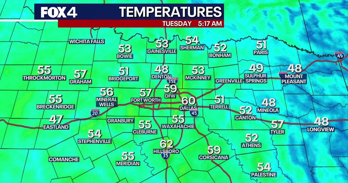 Dallas Weather: 80-degree highs return to North Texas
FOX 4's Ali Turiano has the morning forecast for Oct. 20. DALLAS - North Texans can expect pleasant weather to continue as afternoon highs return to the 80s starting today and last through the rest of the week. After…
-
 Rare 'normal' PM2.5 in 3 regions on Oct 18; PSI at season-high 230 in western Singapore, Singapore News
Singapore calculates its PSI based on six pollutant particulate matter — PM10 and PM2.5, sulphur dioxide, nitrogen dioxide, ozone and carbon monoxide. With one-hour PM2.5 concentration readings in the high and very high…
-
 Louisiana's weather forecast: Dry, breezy weekend
Warm afternoons and cool nights continue, while dry conditions keep fire danger elevated across southeast Louisiana and southern Mississippi. Autumn is settling into southeast Louisiana, bringing pleasant mornings…
-
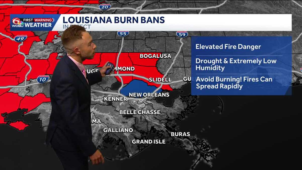 Gorgeous, dry weather continues! Worsening drought and increasing burn bans in Louisiana.
Highs in the upper 70s-low 80s with lots of sunshine on Friday Fall-Like Weather Settles In as Drought and Burn Bans Expand Louisiana will enjoy a stretch of sunshine, cooler nights and fall-like weather over the next…
-
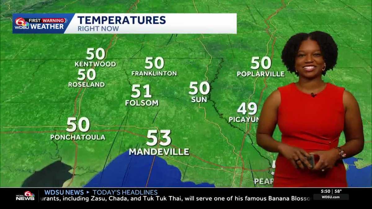 Southeast Louisiana weather: Sunny days, cool nights and growing fire concerns
The dry stretch continues into the weekend, with stronger breezes adding to fire concerns across southeast Louisiana and southern Mississippi. Sunny skies and warm afternoons stick around, but you may want a light…
-
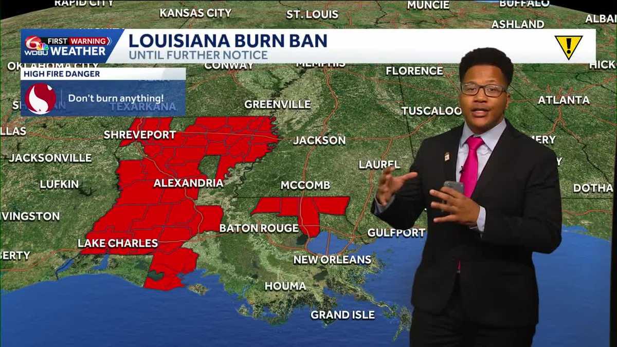 Louisiana's weather forecast: Slightly warmer and still dry
If you have outdoor plans over the next week, the weather should cooperate. A quiet and comfortable fall pattern is settling over southeast Louisiana, bringing plenty of sunshine, relatively low humidity and almost no…
-
 What an El Niño winter is likely to look like for Louisiana
fox8live.com What an El Niño winter is likely to look like for Louisiana Early evening weather update for Tuesday, Oct. 20 Early evening weather update for Monday, Oct. 19
-
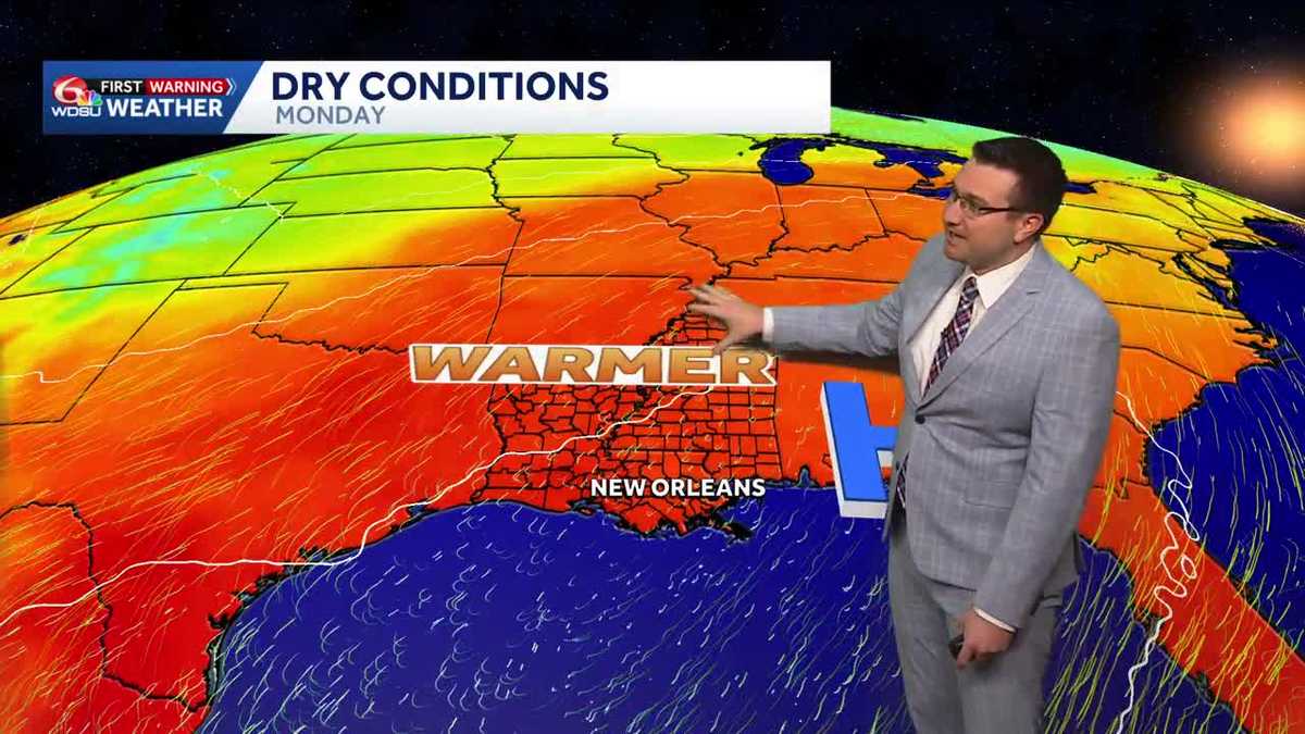 Sunny and mild days continue in southeast Louisiana
Sunny and mild days will continue in southeast Louisiana WDSU Sunny and mild days continue in southeast Louisiana Conditions will stay dry with near average temperatures over the next several days Skies will remain…
-
 Will Louisiana see snow this winter? NOAA weighs in
Reuters// October 20, 2026// The NOAA released its U.S. Winter Outlook, showing how a strong El Niño will influence the upcoming winter months. The El Niño is expected to shift the jet stream southward and eastward over…
-
 NOAA winter weather forecast calls for drought relief throughout Louisiana
NOAA’s winter outlook calls for wetter-than-normal conditions in Louisiana. LSU Health climatologist Barry Keim says that’s typical during El Niño winters. Keim says a strong El Niño strengthens the southerly jet…
Air quality
Acceptable. Unusually sensitive people should consider limiting prolonged outdoor exertion.
Forecast
- SatModerate (55)
- SunModerate (56)
Lake Charles, LA reporting area · 1 hr ago. Data from AirNow (EPA and its state, local and tribal partners); preliminary and subject to change.
Sun & moon
Almanac
MonthlyLake Charles Area, records since 1895. Normals 1991–2020. Data from NOAA's Regional Climate Centers (ACIS).
Nearby
- Lake Charles 17 km
- Orange 38 km
- Moss Bluff 19 km
- Bridge City 51 km
- Prien 12 km
- Carlyss 8 km
- Westlake 12 km
- West Orange 40 km
- Vinton 20 km
- Mauriceville 47 km
- Welsh 53 km
- Iowa 35 km
Forecasters' discussion
From the National Weather Service office in LCH, issued 9 hrs ago
Key Messages
- No precipitation is expected through late next week.
- Temperatures will fall into the 50s each night and warm into the low to mid 80s each afternoon.
- Wildfire risk will remain elevated through early next week in response to ongoing drought conditions and afternoon relative humidity dropping to 20-35% each day.
Discussion
(Today through Friday) Issued at 1200 AM CDT Sat Oct 24 2026
Another night of calm winds, clear skies, and cool temps is ongoing as we begin the weekend, with high pressure at both the surface and aloft continuing to dominate the weather pattern. Upper air/water vapor analysis shows an elongated ridge positioned across much of the central CONUS from the Great Lakes to the Gulf Coast providing a northerly flow about 500mb. At the surface, high pressure is centered near New England and expands south across the SE CONUS, proving a more easterly flow in the lower levels. While we are still very dry overall, moisture has started to tick up slightly with a the 00Z LCH sounding showing a PWAT of 0.94" this evening (up from 0.77" 24 hours ago), which is still below average but closer to the ~40th percentile. While this won't really be noticeable overall, it will allow for some slightly warmer low temps this morning across lower SE TX and SW LA, where temps are only expected to fall into the lower 60s. Elsewhere, more of the same low to mid 50s are expected.
Today, upper level ridging continues to gradually shift eastward eventually becoming situated along the MS River Valley where it will linger into early next week. At the same time, the surface/lower level synoptic pattern will remain largely unchanged as the center of the surface high meanders south across New England and continues to dominated the eastern CONUs. This will only serve to reinforce the ongoing dry pattern, and with upper ridging overhead any touch of moisture return tonight will be quickly squashed, with forecast soundings showing PWATs dropping back into the 0.5-0.8" range by Sunday which is near to below the 25th percentile. This will result in overnight lows in the upper 40s to mid 50s area-wide Sat-Mon night and afternoon highs in the in the lower 80s Sun-Tues.
The pattern begins to change somewhat by Tuesday into the midweek, but we will still have to wait a while longer for any precipitation. After a seasonal start to the day, moisture begins to return as upper level ridging weakens and begins to broaden out, allowing the flow aloft to become more W to SW. Dewpoints start to creep up by the afternoon and evening hours, especially closer to the coast, keeping overnight lows in the low to mid 60s along/south of I-10 for Wed morning. Through the later half of the week, slow moisture return continues but rain chances don't make their way back into the forecast until around the start of the weekend. Instead, a slight uptick in dewpoints and daytime highs/overnight lows can be expected each day Wed-Fri.
Aviation
(06Z TAFS) Issued at 1200 AM CDT Sat Oct 24 2026
Light winds and clear skies prevail through the forecast period. Areas of patchy ground fog will be possible at LCH through sunrise. Otherwise, no deviations from VFR are expected.
Marine
Issued at 1200 AM CDT Sat Oct 24 2026
Winds will shift to a more east to east-southeasterly fetch today and begin to increase as surface high pressure builds down into the southeastern US and the pressure gradient overhead tightens. Winds remain breezy around 15-20 kts with higher gusts into early next week as surface high pressure lingers. This elongated period of elevated winds will allow seas to climb to 2-4 feet across the nearshore waters and from 4-8 feet from 20 to 60 miles offshore. A Small Craft Advisory continues for the outer zones from Cameron eastward, through midday Sunday for now but will likely need to be expended further over the coming forecast cycles. Elsewhere, boaters should continue to exercise caution. Winds and seas will relax beginning Tuesday.
Forecasts, observations and alerts in the United States come from the National Weather Service (NOAA); radar from NOAA's Multi-Radar Multi-Sensor system; satellite imagery from NASA's Global Imagery Browse Services (GIBS) and NOAA's GOES satellites; the map from the U.S. Geological Survey's National Map; air quality from AirNow (EPA and its partners); hurricane information from the National Hurricane Center; climate normals and records from NOAA's Regional Climate Centers (ACIS). Forecasts outside the United States and the UV index: MET Norway (CC BY 4.0); observations outside the U.S.: airport reports via NOAA's Aviation Weather Center. Place names: GeoNames (CC BY 4.0). Data are copied on a schedule and may lag the sources; for warnings that affect your safety, follow your local National Weather Service office and emergency officials. Weather news is drawn from the 4Search index and reflects what the press published. Terms of use.