Install
Haynesville, LA Weather
Current conditions
Forecast for this hour (no station report in the last two hours)
Forecast
10-day-
Saturday Night
Mostly clear, with a low around 50. East wind 0 to 5 mph.
-
Sunday
Mostly sunny, with a high near 81.
-
Sunday Night
Mostly cloudy, with a low around 49.
National Weather Service forecast updated 2 days ago.
Hourly
Hourly forecast- Now74°
- 8 PM69°
- 9 PM64°
- 10 PM59°
- 11 PM58°
- Sun12 AM57°
- 1 AM56°
- 2 AM55°
- 3 AM53°
- 4 AM52°
- 5 AM51°
- 6 AM51°
- 7 AM50°
- 8 AM55°
- 9 AM61°
- 10 AM66°
- 11 AM70°
- 12 PM74°
- 1 PM78°
- 2 PM79°
- 3 PM79°
- 4 PM80°
- 5 PM77°
- 6 PM74°
10-day forecast
Details- TonightOct 22Clear47°
- FriOct 23Sunny49°85°
- TodayOct 24Sunny50°85°
- SunOct 25Mostly Sunny49°81°
- MonOct 26Partly Sunny47°80°
- TueOct 27Mostly Sunny47°80°
- WedOct 28Sunny47°82°
- ThuOct 29Sunny82°
- FriOct 30Cloudy60°82°
- SatOct 31Heavy rain2.52 in62°68°
Days after the National Weather Service's seven are MET Norway's outlook, a computer model with no forecaster's review.
Radar
Full mapWeather news in Louisiana
More weather news-
 Louisiana's weather forecast: Dry, breezy weekend
Warm afternoons and cool nights continue, while dry conditions keep fire danger elevated across southeast Louisiana and southern Mississippi. Autumn is settling into southeast Louisiana, bringing pleasant mornings…
-
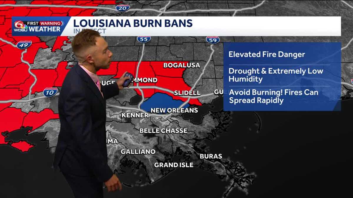 Gorgeous, dry weather continues! Worsening drought and increasing burn bans in Louisiana.
Highs in the upper 70s-low 80s with lots of sunshine on Friday Fall-Like Weather Settles In as Drought and Burn Bans Expand Louisiana will enjoy a stretch of sunshine, cooler nights and fall-like weather over the next…
-
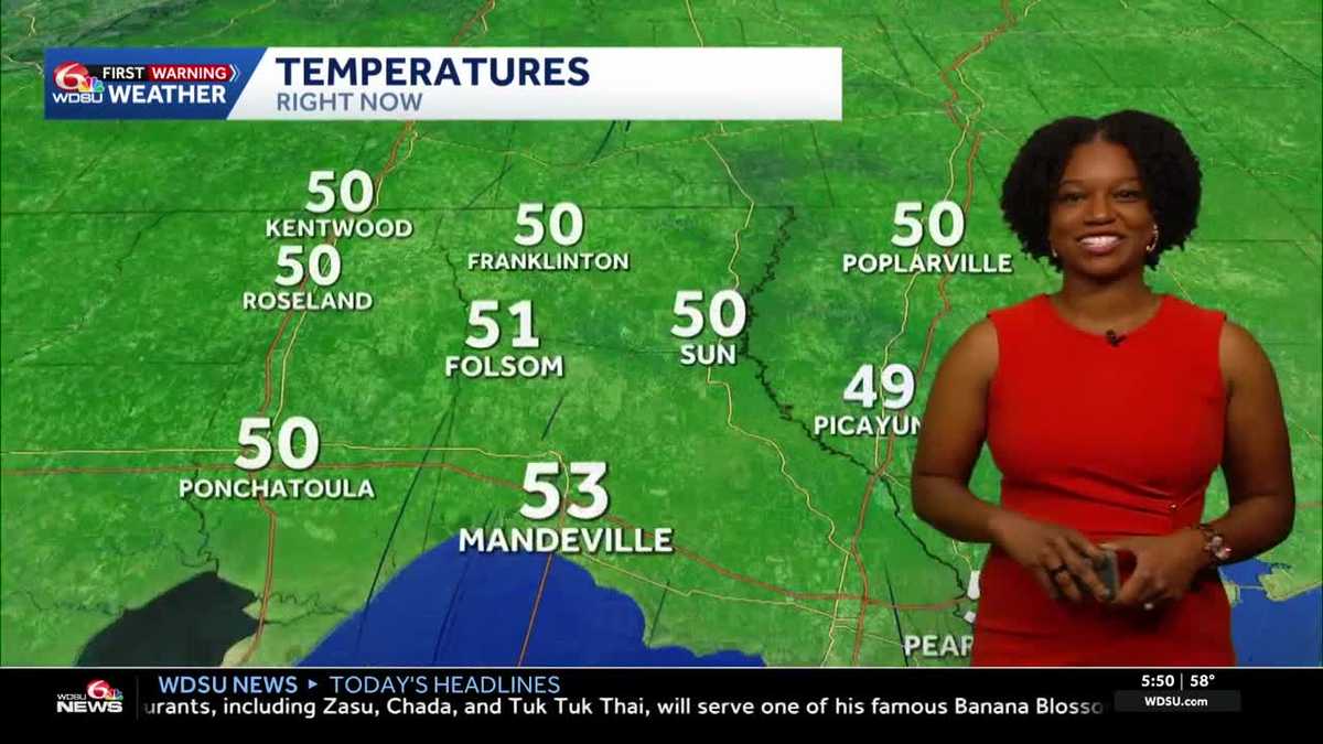 Southeast Louisiana weather: Sunny days, cool nights and growing fire concerns
The dry stretch continues into the weekend, with stronger breezes adding to fire concerns across southeast Louisiana and southern Mississippi. Sunny skies and warm afternoons stick around, but you may want a light…
-
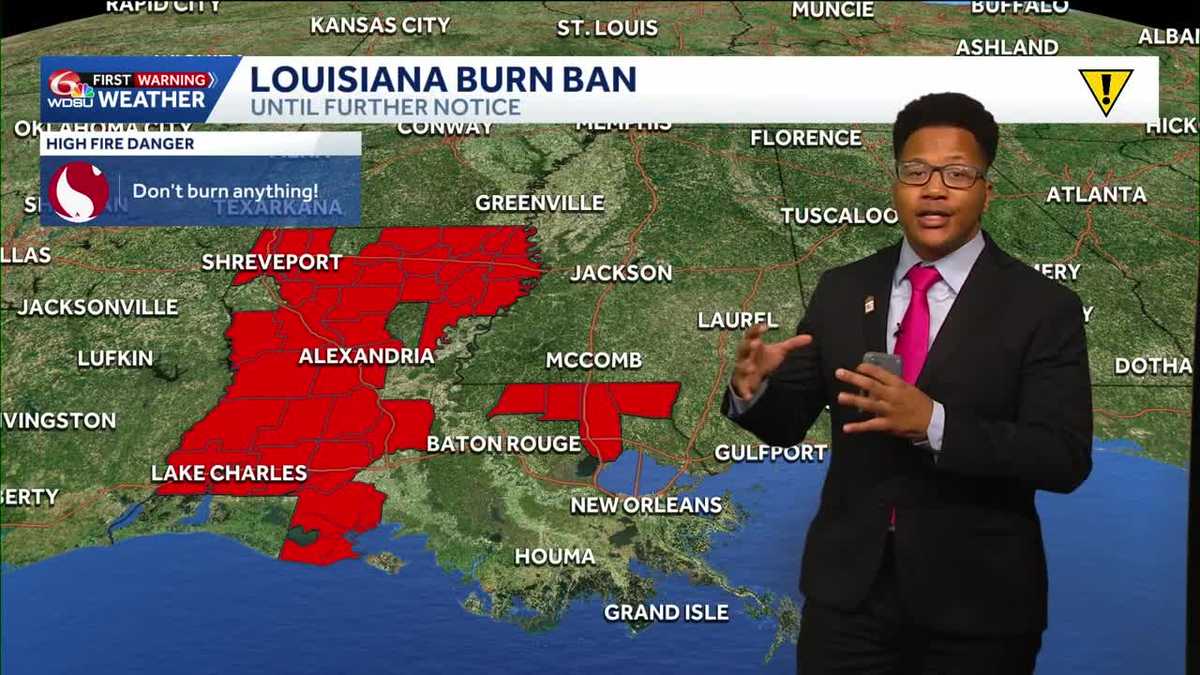 Louisiana's weather forecast: Slightly warmer and still dry
If you have outdoor plans over the next week, the weather should cooperate. A quiet and comfortable fall pattern is settling over southeast Louisiana, bringing plenty of sunshine, relatively low humidity and almost no…
-
 What an El Niño winter is likely to look like for Louisiana
fox8live.com What an El Niño winter is likely to look like for Louisiana Early evening weather update for Tuesday, Oct. 20 Early evening weather update for Monday, Oct. 19
-
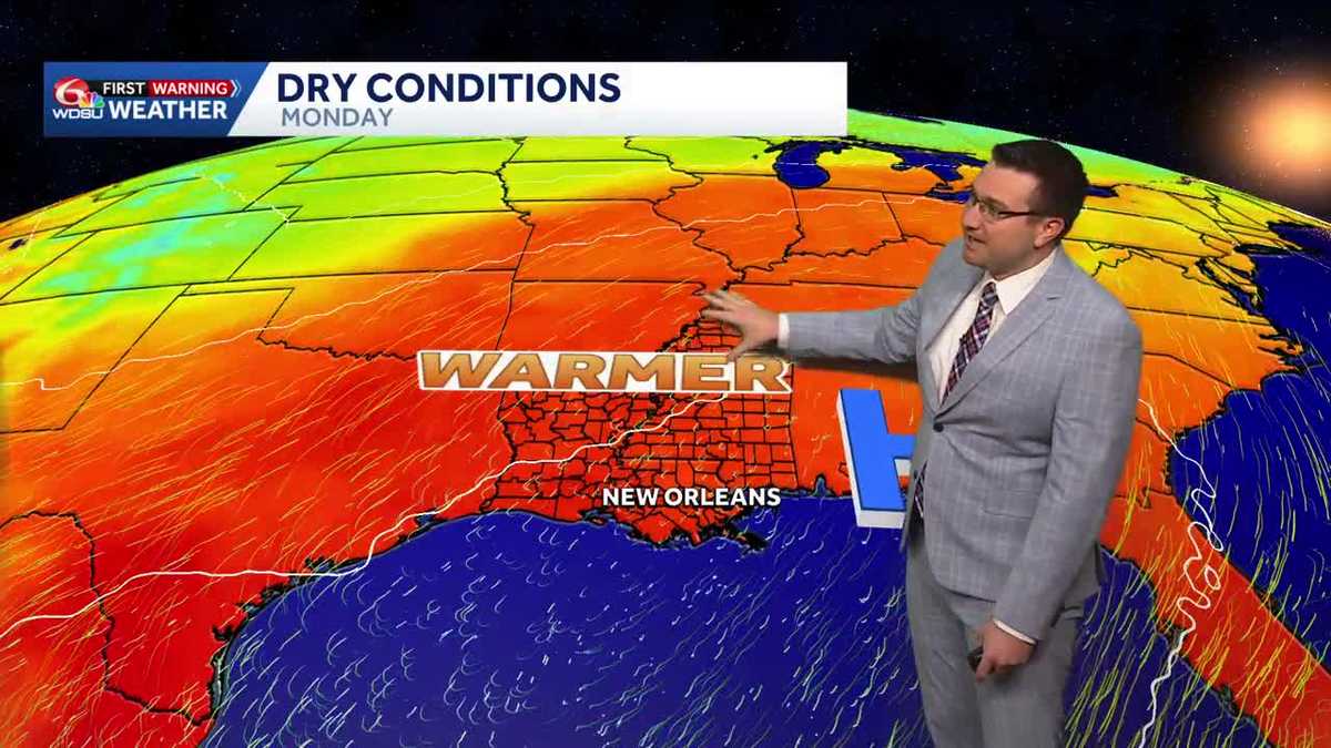 Sunny and mild days continue in southeast Louisiana
Sunny and mild days will continue in southeast Louisiana WDSU Sunny and mild days continue in southeast Louisiana Conditions will stay dry with near average temperatures over the next several days Skies will remain…
-
 Will Louisiana see snow this winter? NOAA weighs in
Reuters// October 20, 2026// The NOAA released its U.S. Winter Outlook, showing how a strong El Niño will influence the upcoming winter months. The El Niño is expected to shift the jet stream southward and eastward over…
-
 NOAA winter weather forecast calls for drought relief throughout Louisiana
NOAA’s winter outlook calls for wetter-than-normal conditions in Louisiana. LSU Health climatologist Barry Keim says that’s typical during El Niño winters. Keim says a strong El Niño strengthens the southerly jet…
-
 Southeast Louisiana weather: Sunny days, chilly nights and a gradual warmup
Northshore temperatures dip near 50 tonight as dry weather holds across southeast Louisiana. Sunshine and low humidity stick around southeast Louisiana and Mississippi today. Afternoon highs will reach 78 to 83 degrees…
-
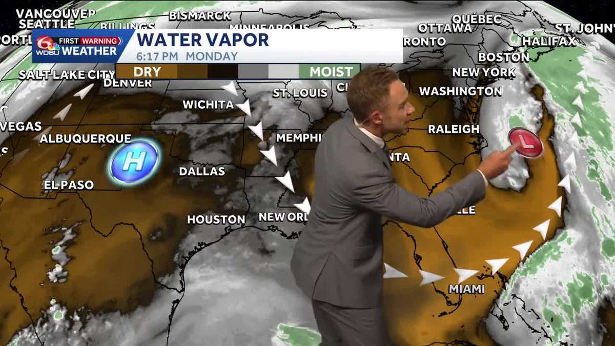 Warming up while staying sunny and dry in Louisiana
Pleasant weather conditions will continue over the next several days Clouds and sunshine will continue throughout the day with high temperatures in the mid to upper 70s during the afternoon. Mostly sunny skies will…
Air quality
Acceptable. Unusually sensitive people should consider limiting prolonged outdoor exertion.
Forecast
- SatModerate (74)
- SunModerate (58)
- MonModerate (53)
Shreveport, LA reporting area · 1 hr ago. Data from AirNow (EPA and its state, local and tribal partners); preliminary and subject to change.
Sun & moon
Almanac
MonthlyHomer 1n, records since 1893. Normals 1991–2020. Data from NOAA's Regional Climate Centers (ACIS).
Nearby
Forecasters' discussion
From the National Weather Service office in SHV, issued 6 hrs ago
Key Messages
Issued at 1245 PM CDT Sat Oct 24 2026
- Fire weather will remain the primary forecast concern through much of the next 7 days given persistent dry conditions and ongoing drought conditions.
- The lack of appreciable rainfall and growing rainfall deficit will result in further drought degradation through the end of this month.
- A pattern change still remains on the horizon with increasing rain chances by the end of next week and into the final weekend of October.
Discussion
Issued at 1245 PM CDT Sat Oct 24 2026
Water vapor imagery this afternoon depicts a high amplitude ridge of high pressure extending from the TX Coast northward through the Great Lakes region and Hudson Bay. Upstream of this feature, a notable split-flow pattern exists, with a strong belt of polar westerlies skirting the US/Canada border with several distinct and potent shortwave troughs noted to the north of the flow near the BC Coast and the other in Saskatchewan. Within the southern stream, a large closed low is depicted across the SW US in the AZ/CA vicinity, with broad SW flow downstream across the Southern Rockies and Central Great Plains where active weather resides. Closer to the surface, expansive high pressure continues to keep a firm hold over much of the US east of the Rocky Mountains, with the exception of a cold front across the Central and Northern Great Plains into the Upper MS Valley.
Another warm day can be expected across the Four State Region today as upper level high pressure continues its persistent influence across the area. High temperatures will reach the mid to upper 80s, with humidity being tempered by dewpoints in the 40s. As has been the case for the last 1-2 weeks, fire weather remains anchored as the primary weather concern today and through the weekend given the dry airmass and ongoing severe drought conditions. Continuing to follow all fire weather precautions will help prevent additional wildfires from developing. Sunday will be generally similar to Saturday, although several degrees cooler with increasing high level cloud cover.
The upper level ridge will remain the primary weather influencer into early next week, with little change in the weather pattern expected. The ridge will begin to dampen on Monday as the upstream pattern becomes more progressive and the closed low over the SW US finally ejects northeastward into the Central Rockies. As a result, cloud cover will be on the increase early next, although conditions will remain dry as surface high pressure remains over the region along with just enough ridge influence aloft.
The upper level ridge will eventually break down by mid week, becoming replaced by SW flow aloft. While this would normally signal at least a temporary change in the pattern, surface high pressure will still remain strong enough over the region to prevent rain chances from returning. That said, by the end of the week, ensemble solutions are in alignment with the development of broad longwave troughing across the entire Western US, placing the Four State Region in a better SW flow pattern in the mid and upper levels. This would indicate a pattern shift, allowing frontal systems a better chance to move into the area and interact with disturbances aloft. It currently appears probable that rain chances will return to the local area by the end of the week or next weekend. That said, there are some discrepancies with regard to the strength of the Western US trough, which may impact the degree of activity within the unsettled SW flow pattern downstream. In addition, it remains a bit unclear how well high pressure at the surface will erode or migrate east. Despite these uncertainties, it at least appears that rain chances will increase at the end of the forecast period and at least temper fire weather concerns.
Kovacik
Aviation
(18Z TAFS) Issued at 1245 PM CDT Sat Oct 24 2026
For the 24/18Z TAFs, VFR conditions will prevail throughout this forecast period, with some thin high clouds enter northwestern airspace and otherwise mostly clear skies. Some brief misty conditions are possible across southernmost airspace in the vicinity of KLFK near or shortly after 25/12Z, but direct terminal impacts are not currently expected. Light southeast winds of about 5 kts will taper off overnight before increasing to 5 to 10 kts with an easterly course into the day tomorrow.
/26/
Spotter Information Statement
Issued at 1245 PM CDT Sat Oct 24 2026
Spotter activation may be needed through this weekend in the event of wildfire development.
Forecasts, observations and alerts in the United States come from the National Weather Service (NOAA); radar from NOAA's Multi-Radar Multi-Sensor system; satellite imagery from NASA's Global Imagery Browse Services (GIBS) and NOAA's GOES satellites; the map from the U.S. Geological Survey's National Map; air quality from AirNow (EPA and its partners); hurricane information from the National Hurricane Center; climate normals and records from NOAA's Regional Climate Centers (ACIS). Forecasts outside the United States and the UV index: MET Norway (CC BY 4.0); observations outside the U.S.: airport reports via NOAA's Aviation Weather Center. Place names: GeoNames (CC BY 4.0). Data are copied on a schedule and may lag the sources; for warnings that affect your safety, follow your local National Weather Service office and emergency officials. Weather news is drawn from the 4Search index and reflects what the press published. Terms of use.