Install
Skokie, IL Weather
Current conditions
Observed at Chicago, Chicago-O'Hare International Airport · 24 min ago
Forecast
10-day-
Tonight
Partly cloudy, with a low around 53. South southeast wind 5 to 10 mph.
-
Sunday
Mostly sunny. High near 72, with temperatures falling to around 70 in the afternoon. South southwest wind 5 to 10 mph.
-
Sunday Night
Partly cloudy, with a low around 53. West southwest wind around 5 mph.
National Weather Service forecast updated 8 hrs ago.
Hourly
Hourly forecast- Now58°
- Sun12 AM57°
- 1 AM56°
- 2 AM56°
- 3 AM55°
- 4 AM54°
- 5 AM54°
- 6 AM53°
- 7 AM53°
- 8 AM54°
- 9 AM59°
- 10 AM63°
- 11 AM66°
- 12 PM69°
- 1 PM71°
- 2 PM72°
- 3 PM72°
- 4 PM72°
- 5 PM70°
- 6 PM67°
- 7 PM64°
- 8 PM62°
- 9 PM61°
- 10 PM60°
10-day forecast
Details- TodayOct 24Mostly Sunny53°67°
- SunOct 25Mostly Sunny53°72°
- MonOct 26Partly Sunny51°61°
- TueOct 27Partly Sunny54°66°
- WedOct 28Mostly Sunny56°72°
- ThuOct 29Slight Chance Rain Showers19%56°72°
- FriOct 30Partly Sunny14%56°71°
- SatOct 31Cloudy57°68°
- SunNov 1Heavy rain0.80 in60°64°
- MonNov 2Heavy rain0.60 in61°65°
Days after the National Weather Service's seven are MET Norway's outlook, a computer model with no forecaster's review.
Radar
Full mapWeather news near Skokie
More weather news-
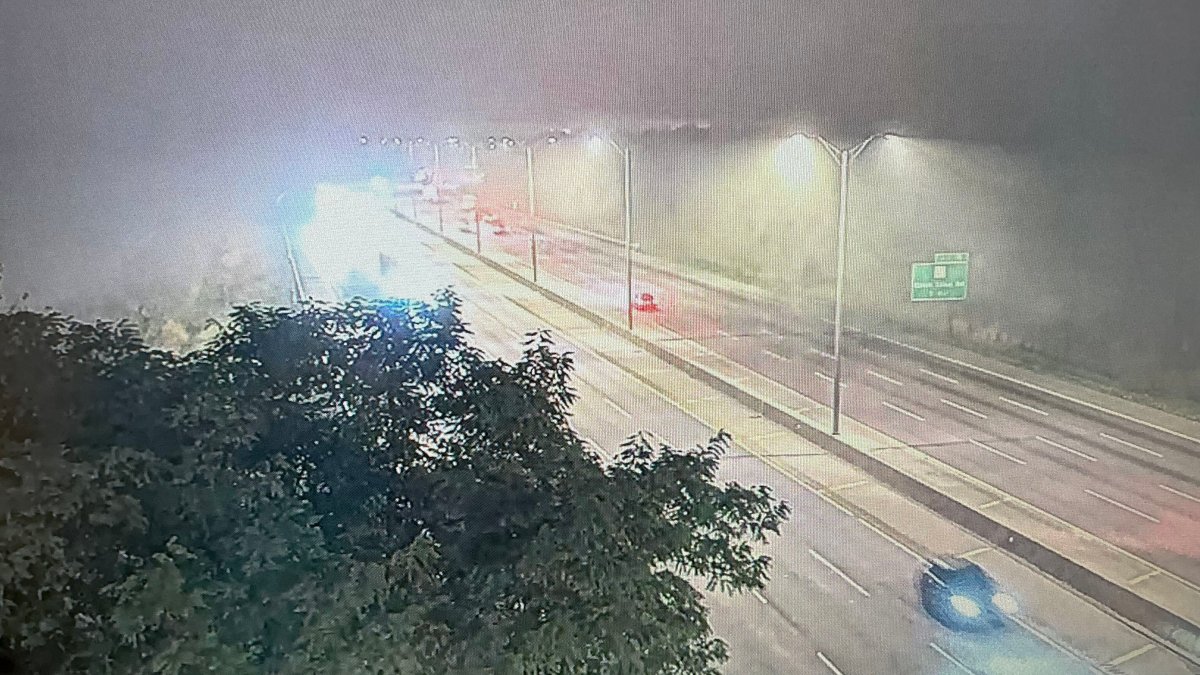 Dense fog advisory issued for parts of Chicago area with with near-zero visibility on roads
Parts of the Chicago area are under a dense fog advisory Tuesday morning, with visibility close to zero leading to dangerous driving conditions for the morning commute. The advisory, issued for Central Cook, Lake…
-
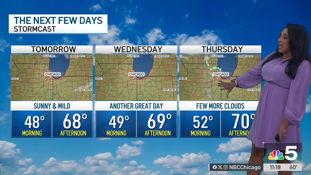 Monday afternoon forecast for Chicago area
NBC 5 Chicago Monday afternoon forecast for Chicago area
-
 Chicago weather: Unseasonably warm temperatures stick around all week
Emily Wahls has your weather update! CHICAGO - It was another day with above normal temperatures and plenty of sunshine. Monday's high temperatures soared into the upper 60s to near 70 degrees. Tonight will be mostly…
-
 Chicago weather: Above-normal temps expected through October
Mike Caplan has your Chicago weather update! CHICAGO - It’s smooth sailing weather-wise this week and likely for the rest of the month. There will be little if any cloud cover and temperatures will be well above normal…
-
 More sunny, mild late October weather in Minnesota | Oct. 20, 2026
CBS News Baltimore 8am CBS News Boston 8am CBS News Chicago 7am CBS News Colorado This Morning 6am CBS News Los Angeles Mornings 5am CBS News Miami 8am CBS News New York 8am CBS News Texas 7am
-
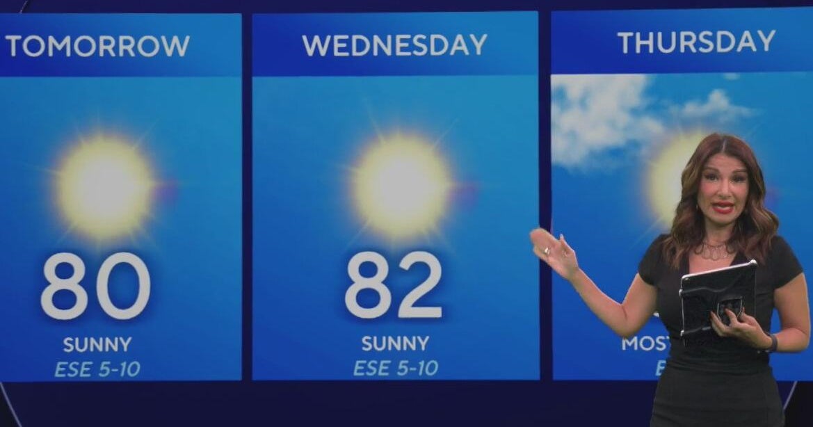 Beautiful stretch of weather continues across North Texas
The Takeout with Major Garrett CBS News Chicago 4pm CBS News Detroit 5pm CBS News Miami 5pm The 4 from WCCO News CBS News New York 5pm CBS News Philadelphia 5pm CBS News Texas at 4pm
-
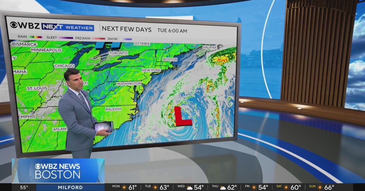 Next Weather: WBZ evening forecast for October 19, 2026
The Takeout with Major Garrett CBS News Chicago 4pm CBS News Detroit 5pm CBS News Miami 5pm The 4 from WCCO News CBS News New York 5pm CBS News Philadelphia 5pm CBS News Texas at 4pm
-
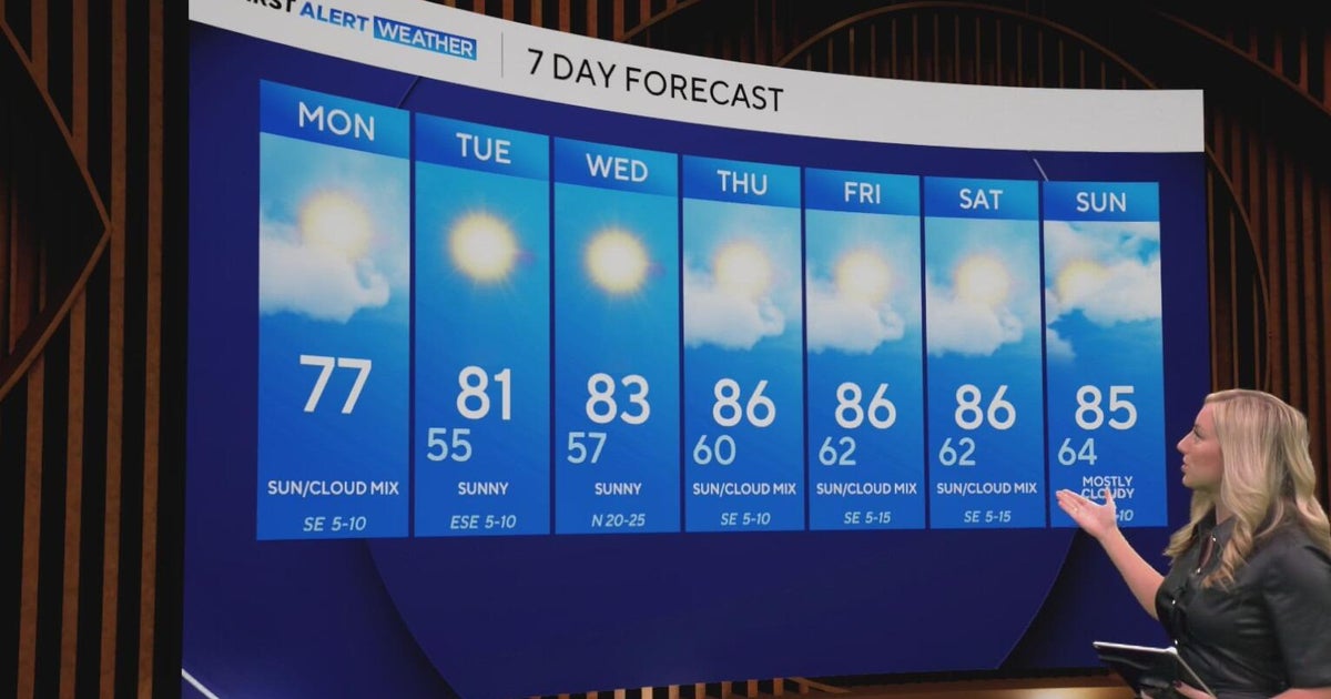 Cool and crisp morning in store for North Texas as temperatures top out in 70s, 80s this week
CBS News Baltimore 8am CBS News Boston 8am CBS News Chicago 7am CBS News Colorado This Morning 6am CBS News Los Angeles Mornings 5am CBS News Miami 8am CBS News New York 8am CBS News Texas 7am
-
 El Nino delays Magic: The Gathering trading cards
One of the unexpected consequences of the El Nino weather pattern causing drought at the Panama Canal has left Magic: The Gathering trading card enthusiasts hoping for better weather JOSHUA WILTSE: My name is Joshua…
-
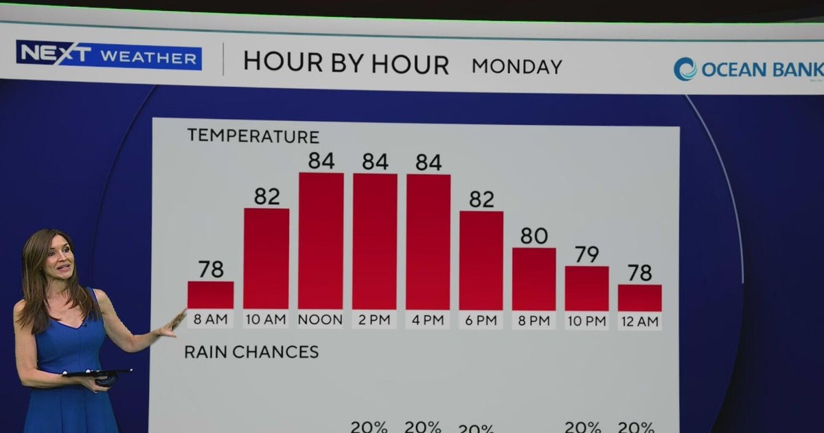 South Florida to see lower rain chances, cooler temperatures this week
CBS News Baltimore 8am CBS News Boston 8am CBS News Chicago 7am CBS News Colorado This Morning 6am CBS News Los Angeles Mornings 5am CBS News Miami 8am CBS News New York 8am CBS News Texas 7am
Air quality
Acceptable. Unusually sensitive people should consider limiting prolonged outdoor exertion.
Forecast
- SatModerate
- SunModerate
- MonModerate
Chicago, IL reporting area · 1 hr ago. Data from AirNow (EPA and its state, local and tribal partners); preliminary and subject to change.
Sun & moon
Almanac
MonthlyChicago Area, records since 1872. Normals 1991–2020. Data from NOAA's Regional Climate Centers (ACIS).
Nearby
- Chicago 22 km
- Aurora 57 km
- Naperville 44 km
- Elgin 45 km
- Waukegan 38 km
- Cicero 21 km
- Hammond 54 km
- Gary 58 km
- Arlington Heights 21 km
- Evanston 4 km
- Schaumburg 29 km
- Bolingbrook 46 km
Forecasters' discussion
From the National Weather Service office in LOT, issued 2 hrs ago
Key Messages
- Generally well above normal temperatures will continue, albeit with a modest cool-down on Monday near and north of I-80, and particularly near Lake Michigan.
- There are periodic low/uncertain rain chances in the mid to late workweek period, with the best chance of any meaningful rainfall not until next Saturday (Halloween) night.
Update
Issued at 925 PM CDT Sat Oct 24 2026
No significant changes to the forecast this evening. Only item of note is an area of weak radar returns along the IL/WI border northwest of Rockford at this time, associated with high-based (15-20 kft) sprinkles/showers on the tail end of a mid-level speed max tracking across WI. 00Z DVN RAOB depict moisture above ~650 mb, coincident with relatively steep mid-level lapse rates of ~6.5 C/km. Farther to the south, ILX sounding displays weaker saturation and less favorable wind profiles. Deep layer of drier air below the mid-level cloud deck suggests the mid- level sprinkles indicated by these radar returns are very unlikely to reach the ground across far northern IL (though some light rain may reach the surface in spots across southern WI over the next few hours).
Ratzer
Discussion
Issued at 225 PM CDT Sat Oct 24 2026
Tonight through Sunday:
Following a calm, cool, and partly cloudy night tonight (relative to this afternoon's warmth), Sunday has a decent chance to be one of the warmest days of this current stretch. Mid and higher level cloud cover may limit temps from really overperforming, though currently expecting enough sun for widespread mid 70s highs away from the immediate Illinois shore. Localized upper 70s readings are plausible, especially over southwestern sections of the CWA (ie. in/near Pontiac).
Sunday Night through Saturday:
A backdoor cold front will move across the area Sunday night, knocking temps down vs. the weekend for Monday's highs, but still above average for late October. The coolest readings (around 60F/low 60s) will be found near Lake Michigan due to strengthening north-northeast winds. Expansive surface high pressure over the region on Monday night will likely yield the coolest night of the week (still solidly above normal for late October).
Tuesday will warm back to farther above average, followed by another period of well above average temps (highs approaching 80F in spots?!) centered on midweek. Chances for rain mid to late next week, while not zero, are low/nebulous, and the best chance for anything of note looks to be confined to primarily west and north of the local area. If a weakening cold front is able to push south across at least the northern half of the area Thursday-Thursday night, that would result in lower temps than in the official forecast (especially near the lake).
Aviation
Issued at 613 PM CDT Sat Oct 24 2026
Quiet VFR aviation weather conditions will persist through the period. Winds are becoming light southeast with sunset, and will remain generally southeast through the night. Winds will likely become light south (~5 kt or less) pre-dawn, then shift south- southwest to southwest (190-210 deg) just under 10 kts after sunrise.
Patchy mid/high level VFR clouds will linger across the area through Sunday.
Ratzer
Forecasts, observations and alerts in the United States come from the National Weather Service (NOAA); radar from NOAA's Multi-Radar Multi-Sensor system; satellite imagery from NASA's Global Imagery Browse Services (GIBS) and NOAA's GOES satellites; the map from the U.S. Geological Survey's National Map; air quality from AirNow (EPA and its partners); hurricane information from the National Hurricane Center; climate normals and records from NOAA's Regional Climate Centers (ACIS). Forecasts outside the United States and the UV index: MET Norway (CC BY 4.0); observations outside the U.S.: airport reports via NOAA's Aviation Weather Center. Place names: GeoNames (CC BY 4.0). Data are copied on a schedule and may lag the sources; for warnings that affect your safety, follow your local National Weather Service office and emergency officials. Weather news is drawn from the 4Search index and reflects what the press published. Terms of use.