Install
Schaumburg, IL Weather
Current conditions
Forecast for this hour (no station report in the last two hours)
Forecast
10-day-
Tonight
Patchy fog after 4am. Partly cloudy, with a low around 45. North northeast wind around 0 mph.
-
Tuesday
Patchy fog before 7am. Sunny. High near 68, with temperatures falling to around 65 in the afternoon. East northeast wind 0 to 5 mph.
-
Tuesday Night
Partly cloudy. Low around 44, with temperatures rising to around 46 overnight. East wind 0 to 5 mph.
National Weather Service forecast updated 1 hr ago.
Hourly
Hourly forecast- Now54°
- 10 PM52°
- 11 PM50°
- Tue12 AM49°
- 1 AM48°
- 2 AM48°
- 3 AM47°
- 4 AM46°
- 5 AM45°
- 6 AM45°
- 7 AM45°
- 8 AM46°
- 9 AM51°
- 10 AM58°
- 11 AM61°
- 12 PM64°
- 1 PM66°
- 2 PM67°
- 3 PM67°
- 4 PM67°
- 5 PM65°
- 6 PM62°
- 7 PM57°
- 8 PM55°
10-day forecast
Details- TonightOct 19Partly Cloudy then Patchy Fog45°
- TueOct 20Patchy Fog then Sunny44°68°
- WedOct 21Sunny48°69°
- ThuOct 22Sunny49°70°
- FriOct 23Sunny49°69°
- SatOct 24Mostly Sunny53°68°
- SunOct 25Partly Sunny51°70°
- MonOct 26Mostly Sunny66°
- TueOct 27Light rain0.08 in43°52°
- WedOct 28Cloudy40°51°
Days after the National Weather Service's seven are MET Norway's outlook, a computer model with no forecaster's review.
Radar
Full mapWeather news
More weather news-
 Five ways El Niño is affecting the weather around the world
El Niño has been strengthening for several months now and is already having a significant impact on global weather patterns. Countries including Indonesia, India and the United States have been experiencing droughts…
-
 Warming trend in Minnesota continues, as rain holds off
CBS News Minnesota is a local news organization that is part of CBS News and Stations. Also referred to as WCCO-TV and channel 4, CBS News Minnesota offers local breaking news, weather coverage and investigative…
-
 Beautiful stretch of weather continues across North Texas
The Takeout with Major Garrett CBS News Chicago 4pm CBS News Detroit 5pm CBS News Miami 5pm The 4 from WCCO News CBS News New York 5pm CBS News Philadelphia 5pm CBS News Texas at 4pm
-
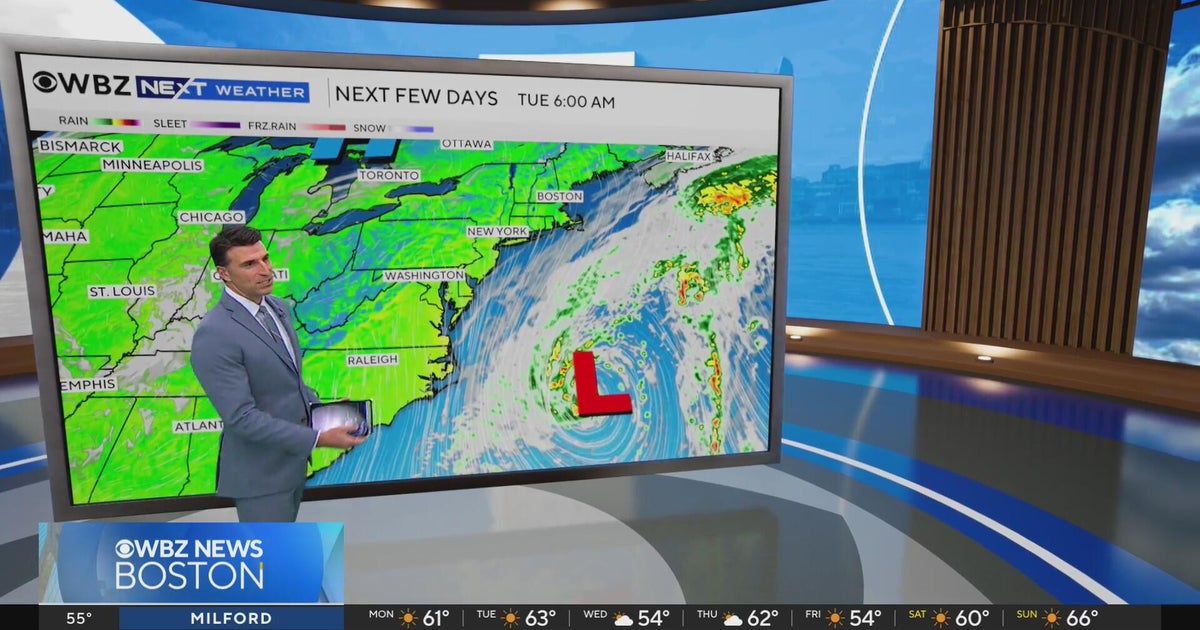 Next Weather: WBZ evening forecast for October 19, 2026
The Takeout with Major Garrett CBS News Chicago 4pm CBS News Detroit 5pm CBS News Miami 5pm The 4 from WCCO News CBS News New York 5pm CBS News Philadelphia 5pm CBS News Texas at 4pm
-
 Minnesota’s warm, dry streak continues, with temperatures nearing 80 by Thursday | Oct. 19, 2026
A ridge of high pressure keeps the jet stream and cold air to the north, WCCO’s meteorologist says. Highs reach nearly 70 in the Twin Cities Wednesday, the mid 70s Thursday and close to 80 in parts of south central…
-
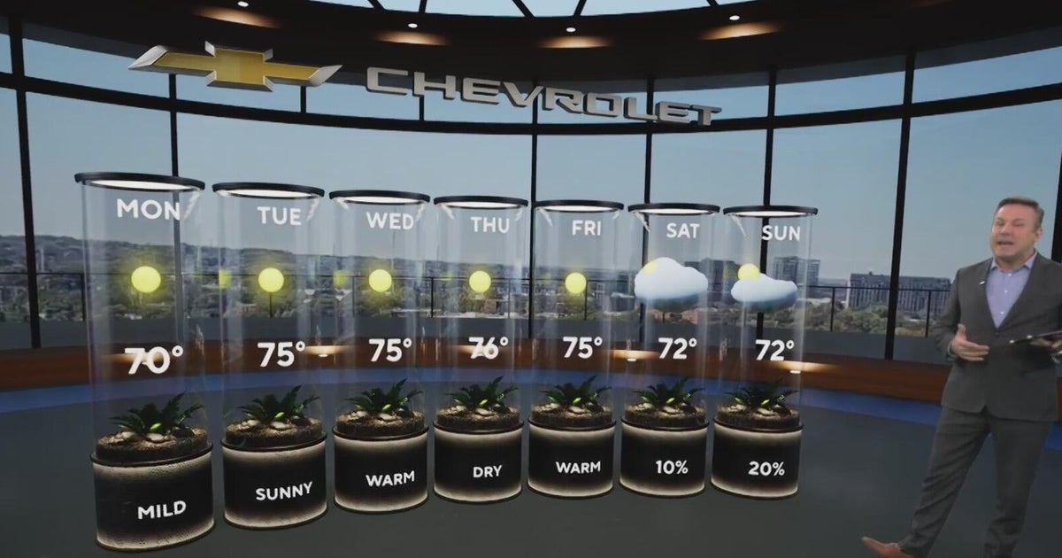 Sunshine and chilly mornings all week in Atlanta before weekend rain chances
CBS News Atlanta is a local news organization that is part of CBS News and Stations. Also referred to as WUPA and channel 69, CBS News Atlanta offers local breaking news, weather coverage and investigative reporting…
-
 A bomb cyclone and atmospheric river are developing in the Pacific. What does that mean for the West Coast?
Updated on: November 20, 2024 / 7:13 AM EST / CBS News The Northwest is bracing for a strong storm system that began moving onshore early Wednesday, bringing strong winds, heavy rain and mountain snow. Over 7 million…
-
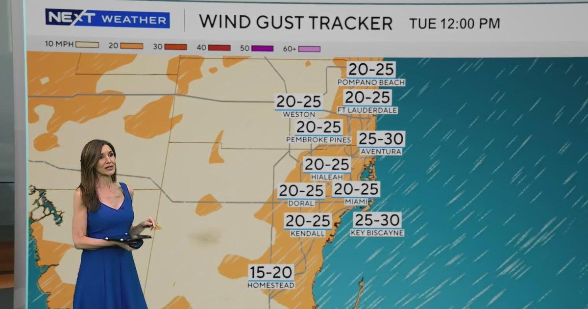 Windy, drier week ahead of taste of fall South Florida style
October 19, 2026 / 11:06 AM EDT / CBS Miami It's expected to be a windy but dry week across South Florida ahead of an enjoyable taste of fall with some pleasant mornings starting on Tuesday. As a frontal boundary stalls…
-
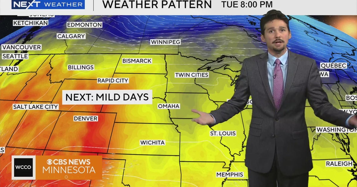 No cold air in sight for next week in Minnesota weather | Oct. 19, 2026
A west-to-east flow is keeping colder air to the north, WCCO meteorologist Joseph Dames says, and warmth building through the Rockies should push temperatures above average toward the end of the week. Cooler air may not…
-
 Super Typhoon Champi churns across Pacific as another tropical threat begins to take shape
☔ 🌊 TRACKING CHAMPI: Super Typhoon Champi continues to churn in the Pacific basin and has reached strength equivalent to a Category 5 Atlantic Hurricane, with wind gusts expected to exceed 160 mph this week. The Pacific…
Air quality
Air quality is satisfactory, and air pollution poses little or no risk.
Forecast
- MonGood
- TueModerate
- WedModerate
North and West Suburbs (Chicago), IL reporting area · 1 hr ago. Data from AirNow (EPA and its state, local and tribal partners); preliminary and subject to change.
Sun & moon
Nearby
- Chicago 41 km
- Aurora 36 km
- Joliet 57 km
- Naperville 28 km
- Elgin 16 km
- Waukegan 42 km
- Cicero 34 km
- Arlington Heights 10 km
- Evanston 32 km
- Bolingbrook 37 km
- Palatine 9 km
- Skokie 29 km
Forecasters' discussion
From the National Weather Service office in LOT, issued 3 hrs ago
Key Messages
- Shallow fog may develop in northeastern Illinois early Tuesday morning. Any fog would dissipate a few hours after sunrise.
- An extended period of dry and above to much above average temperatures is expected through the next 7 days.
Discussion
Issued at 1223 PM CDT Mon Oct 19 2026
The only item of note is a threat for shallow fog overnight into tomorrow morning near Lake Michigan where a modestly more moist environment will advect inland. Otherwise, no significant weather is expected the next 7 days with above to much above average temperatures each day. Generally light winds should allow weak lake breezes to form each of the next several afternoons, but probably only result in slightly cooler conditions right near the lake. Other than a bit of mid-high level cloudiness this afternoon, much of the week looks to be mostly sunny.
- Izzi/Borchardt
Aviation
Issued at 615 PM CDT Mon Oct 19 2026
Light and variable winds (at times prevailing out of the east) will prevail through the TAF period. Shallow ground fog may develop in the vicinity of ORD/MDW early tomorrow morning (08-13Z timeframe). We have maintained the targeted TEMPO group for 1 1/2SM BR introduced in the 18z tafs. Otherwise, there are no aviation concerns through the TAF period.
KJB/Borchardt
Lot Watches
IL...None. IN...None. LM...None.
Forecasts, observations and alerts in the United States come from the National Weather Service (NOAA); radar from NOAA's Multi-Radar Multi-Sensor system; satellite imagery from NASA's Global Imagery Browse Services (GIBS) and NOAA's GOES satellites; the map from the U.S. Geological Survey's National Map; air quality from AirNow (EPA and its partners); hurricane information from the National Hurricane Center; climate normals and records from NOAA's Regional Climate Centers (ACIS). Forecasts outside the United States and the UV index: MET Norway (CC BY 4.0); observations outside the U.S.: airport reports via NOAA's Aviation Weather Center. Place names: GeoNames (CC BY 4.0). Data are copied on a schedule and may lag the sources; for warnings that affect your safety, follow your local National Weather Service office and emergency officials. Weather news is drawn from the 4Search index and reflects what the press published. Terms of use.