Install
East Pensacola Heights, FL Weather
Current conditions
Forecast for this hour (no station report in the last two hours)
Forecast
10-day-
Tonight
Clear, with a low around 58. Northeast wind around 10 mph.
-
Tuesday
Sunny, with a high near 77. Northeast wind 10 to 15 mph.
-
Tuesday Night
Mostly clear, with a low around 58. Northeast wind 5 to 10 mph.
National Weather Service forecast updated 6 hrs ago.
Hourly
Hourly forecast- Now68°
- 10 PM67°
- 11 PM65°
- Tue12 AM63°
- 1 AM63°
- 2 AM62°
- 3 AM61°
- 4 AM60°
- 5 AM59°
- 6 AM59°
- 7 AM58°
- 8 AM59°
- 9 AM61°
- 10 AM64°
- 11 AM67°
- 12 PM69°
- 1 PM72°
- 2 PM74°
- 3 PM75°
- 4 PM75°
- 5 PM76°
- 6 PM73°
- 7 PM72°
- 8 PM71°
10-day forecast
Details- TonightOct 19Clear58°
- TueOct 20Sunny58°77°
- WedOct 21Sunny59°79°
- ThuOct 22Sunny59°79°
- FriOct 23Sunny59°78°
- SatOct 24Sunny58°77°
- SunOct 25Sunny58°76°
- MonOct 26Sunny77°
- TueOct 27Sunny56°76°
- WedOct 28Sunny56°76°
Days after the National Weather Service's seven are MET Norway's outlook, a computer model with no forecaster's review.
Radar
Full mapWeather news
More weather news-
 Five ways El Niño is affecting the weather around the world
El Niño has been strengthening for several months now and is already having a significant impact on global weather patterns. Countries including Indonesia, India and the United States have been experiencing droughts…
-
 Warming trend in Minnesota continues, as rain holds off
CBS News Minnesota is a local news organization that is part of CBS News and Stations. Also referred to as WCCO-TV and channel 4, CBS News Minnesota offers local breaking news, weather coverage and investigative…
-
 Beautiful stretch of weather continues across North Texas
The Takeout with Major Garrett CBS News Chicago 4pm CBS News Detroit 5pm CBS News Miami 5pm The 4 from WCCO News CBS News New York 5pm CBS News Philadelphia 5pm CBS News Texas at 4pm
-
 Next Weather: WBZ evening forecast for October 19, 2026
The Takeout with Major Garrett CBS News Chicago 4pm CBS News Detroit 5pm CBS News Miami 5pm The 4 from WCCO News CBS News New York 5pm CBS News Philadelphia 5pm CBS News Texas at 4pm
-
 Minnesota’s warm, dry streak continues, with temperatures nearing 80 by Thursday | Oct. 19, 2026
A ridge of high pressure keeps the jet stream and cold air to the north, WCCO’s meteorologist says. Highs reach nearly 70 in the Twin Cities Wednesday, the mid 70s Thursday and close to 80 in parts of south central…
-
 Sunshine and chilly mornings all week in Atlanta before weekend rain chances
CBS News Atlanta is a local news organization that is part of CBS News and Stations. Also referred to as WUPA and channel 69, CBS News Atlanta offers local breaking news, weather coverage and investigative reporting…
-
 A bomb cyclone and atmospheric river are developing in the Pacific. What does that mean for the West Coast?
Updated on: November 20, 2024 / 7:13 AM EST / CBS News The Northwest is bracing for a strong storm system that began moving onshore early Wednesday, bringing strong winds, heavy rain and mountain snow. Over 7 million…
-
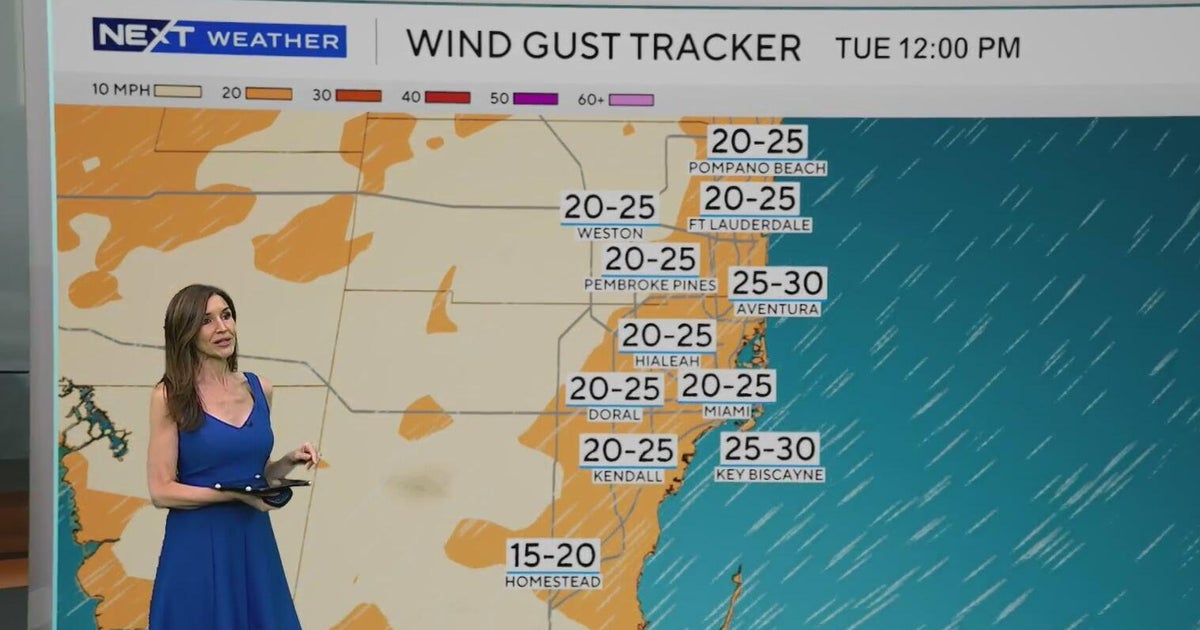 Windy, drier week ahead of taste of fall South Florida style
October 19, 2026 / 11:06 AM EDT / CBS Miami It's expected to be a windy but dry week across South Florida ahead of an enjoyable taste of fall with some pleasant mornings starting on Tuesday. As a frontal boundary stalls…
-
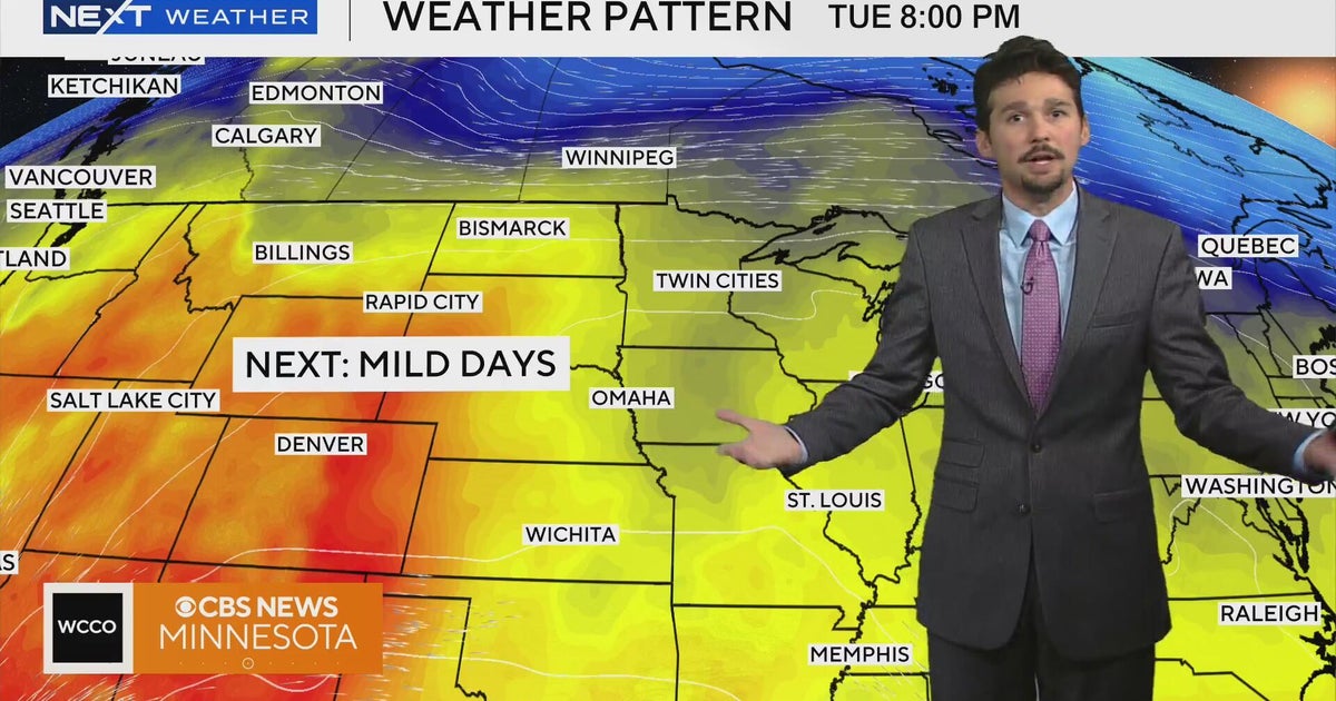 No cold air in sight for next week in Minnesota weather | Oct. 19, 2026
A west-to-east flow is keeping colder air to the north, WCCO meteorologist Joseph Dames says, and warmth building through the Rockies should push temperatures above average toward the end of the week. Cooler air may not…
-
 Super Typhoon Champi churns across Pacific as another tropical threat begins to take shape
☔ 🌊 TRACKING CHAMPI: Super Typhoon Champi continues to churn in the Pacific basin and has reached strength equivalent to a Category 5 Atlantic Hurricane, with wind gusts expected to exceed 160 mph this week. The Pacific…
Air quality
Forecast
- MonGood
- TueGood
- WedGood
Pensacola, FL reporting area. Data from AirNow (EPA and its state, local and tribal partners); preliminary and subject to change.
Sun & moon
Nearby
- Pensacola 4 km
- Navarre 30 km
- Ferry Pass 10 km
- Bellview 13 km
- Wright 52 km
- Fort Walton Beach 54 km
- Brent 7 km
- West Pensacola 10 km
- Ensley 13 km
- Pace 19 km
- Foley 48 km
- Midway 17 km
Forecasters' discussion
From the National Weather Service office in MOB, issued 10 hrs ago
Key Messages
Issued at 1113 AM CDT Mon Oct 19 2026
- Moderate to strong northeast winds will may create hazardous conditions for small craft well offshore through this evening, and again over most of the marine area Friday night into this weekend.
- A High Risk of dangerous rip currents at area beaches is in effect through tonight.
- Dry conditions continue through the forecast period.
Discussion
Issued at 1113 AM CDT Mon Oct 19 2026
A highly amplified pattern evolves over the CONUS through Wednesday and Thursday as a large upper trof develops over the easternmost states down into the eastern Gulf and a large upper ridge builds over the central states. The upper ridge advances into the eastern states this weekend as the upper trof moves into the far western Atlantic, just off the East Coast. A surface ridge generally persists over the eastern states through much of the period, with the pressure gradient tightening over the extreme southeast states this weekend as a surface low develops in the vicinity of the Bahamas. Deep layer moisture remains limited through the period and have continued with dry conditions through this weekend and early next week. Highs on Tuesday will be in the mid 70s to lower 80s then trend to mostly range from the upper 70s to lower 80s by Wednesday, with similar values following through Monday of next week. Lows tonight range from the mid 40s well inland to the mid 50s at the coast, and lows each night through Sunday night will be similar, although well inland lows may be closer to mid/upper 40s. A High Risk of rip currents continues through tonight, then a moderate risk follows for Tuesday and Tuesday night. A low risk of rip currents develops Wednesday into Wednesday night and continues into Thursday. A moderate risk of rip currents is expected for Friday. /29
Aviation
(12Z TAFS) Issued at 1113 AM CDT Mon Oct 19 2026
VFR conditions are expected through Tuesday morning. Northeasterly winds 5-10 knots, occasionally gusty near the coast, diminish this evening, then returns to 5-10 knots Tuesday morning. /29
Marine
Issued at 1113 AM CDT Mon Oct 19 2026
Moderate to occasionally strong northeasterly winds will slowly decrease through tonight. Small craft should exercise caution well offshore this afternoon into this evening. A light to moderate northeasterly flow will prevail beginning Tuesday, then a moderate to strong easterly to northeasterly flow develops Friday night. A Small Craft Advisory will likely become necessary from Friday night on into the weekend. /29
Forecasts, observations and alerts in the United States come from the National Weather Service (NOAA); radar from NOAA's Multi-Radar Multi-Sensor system; satellite imagery from NASA's Global Imagery Browse Services (GIBS) and NOAA's GOES satellites; the map from the U.S. Geological Survey's National Map; air quality from AirNow (EPA and its partners); hurricane information from the National Hurricane Center; climate normals and records from NOAA's Regional Climate Centers (ACIS). Forecasts outside the United States and the UV index: MET Norway (CC BY 4.0); observations outside the U.S.: airport reports via NOAA's Aviation Weather Center. Place names: GeoNames (CC BY 4.0). Data are copied on a schedule and may lag the sources; for warnings that affect your safety, follow your local National Weather Service office and emergency officials. Weather news is drawn from the 4Search index and reflects what the press published. Terms of use.