Install
Ocean View, DE Weather
Current conditions
Observed at Ocean City, Ocean City Municipal Airport · 1 hr ago
Forecast
10-day-
Overnight
Mostly clear, with a low around 51. North wind around 20 mph, with gusts as high as 35 mph.
-
Wednesday
Mostly sunny, with a high near 58. North wind around 20 mph, with gusts as high as 35 mph.
-
Wednesday Night
Mostly cloudy, with a low around 47. North wind 15 to 20 mph.
National Weather Service forecast updated 1 hr ago.
Hourly
Hourly forecast- Now52°
- 6 AM51°
- 7 AM51°
- 8 AM51°
- 9 AM53°
- 10 AM54°
- 11 AM54°
- 12 PM55°
- 1 PM56°
- 2 PM57°
- 3 PM58°
- 4 PM58°
- 5 PM58°
- 6 PM57°
- 7 PM56°
- 8 PM55°
- 9 PM55°
- 10 PM54°
- 11 PM53°
- Thu12 AM52°
- 1 AM51°
- 2 AM50°
- 3 AM49°
- 4 AM48°
10-day forecast
Details- TonightOct 20Mostly Clear51°
- TodayOct 21Mostly Sunny47°58°
- ThuOct 22Sunny49°62°
- FriOct 23Sunny48°56°
- SatOct 24Sunny49°56°
- SunOct 25Sunny49°59°
- MonOct 26Sunny51°64°
- TueOct 27Mostly Sunny63°
- WedOct 28Cloudy54°67°
- ThuOct 29Cloudy49°58°
Days after the National Weather Service's seven are MET Norway's outlook, a computer model with no forecaster's review.
Radar
Full mapWeather news in Delaware
More weather news-
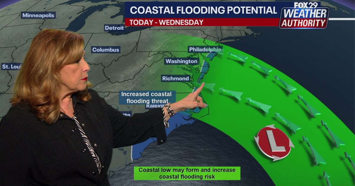 Coastal flooding threat looms for New Jersey, Delaware as nor'easter develops offshore
A developing nor'easter off the Carolina coast is expected to stay offshore but will still bring high winds, heavy surf, and possible coastal flooding along the Jersey Shore and Delaware beaches this week. PHILADELPHIA…
-
 Delaware's weekend forecast sees temperatures drop lower than usual
Delaware is in for a wacky weekend as temperatures fluctuate between warm and cold. A cold front is forecast to sweep eastward on Oct. 16, accompanied by strong to severe thunderstorms for the Mid-Atlantic and…
-
 Delaware's fall colors could disappoint after a stressful summer
It’s that time when fall foliage offers picturesque backdrops across Delaware, but this year’s views might not deliver as exepcted. AccuWeather reported that parts of the Mid-Atlantic could see fall colors arrive…
-
 Boat owners urged to prepare for Storm Austen
Boat owners in Guernsey have been advised to ensure their vessels are safe ahead of stormy weather Boat owners have been told to ensure their vessels are ready for the winter with stormy conditions forecast. Guernsey…
-
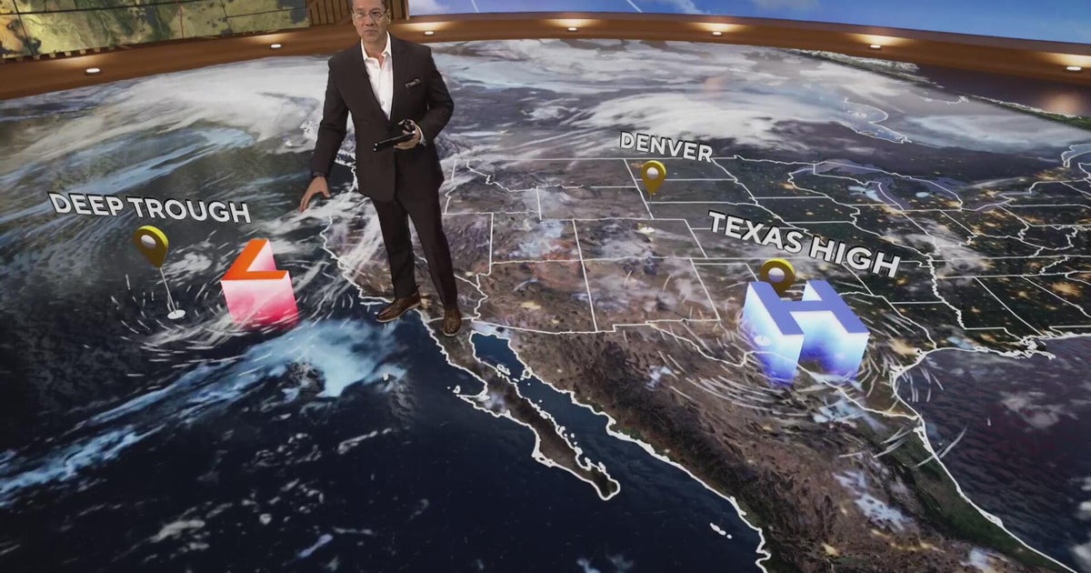 More clouds for Front Range with flooding rains heading to southwest Colorado
CBS News More clouds for Front Range with flooding rains heading to southwest Colorado MS misdiagnoses raise concerns, Colorado doctors warn of unnecessary treatment risks College bound Coloradans get ready for state…
-
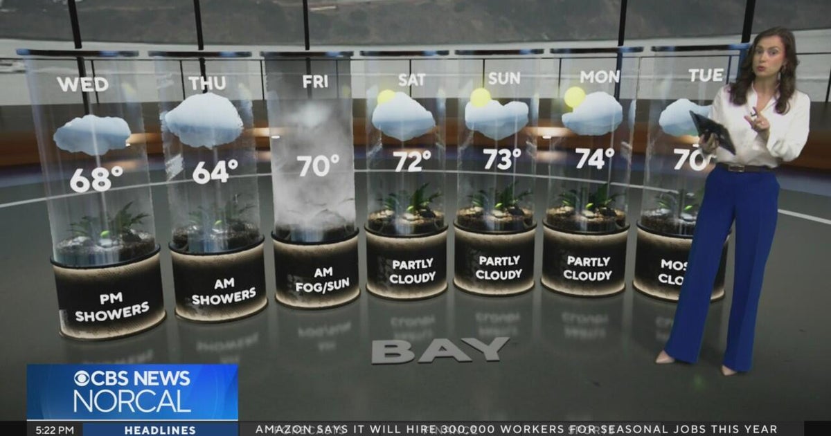 Tuesday evening First Alert weather forecast - 10/20/26
CBS News Tuesday evening First Alert weather forecast - 10/20/26 Becerra, Hilton campaign for California governor in Bay Area 2 weeks out from Election Day Oakland considers raising nuisance property fines to $10,000 a…
-
 Slow-moving system could bring days of heavy rain and flooding to the Bahamas and Florida
A slow-moving system is developing near the Southwest Atlantic, bringing days of rain to Florida. Some areas could see 3 to 5 inches. A Level 1 out of 4 flash flood risk has been issued for Friday, while a Level 2 out…
-
 Storms descend on Southern California, raising risk of dangerous surf, flooding, debris flows
Rain is anticipated for Southern California on Wednesday into Thursday as the National Weather Service cautioned about potential beach hazards and thunderstorms from Oxnard to the Mexico border. The weather service's…
-
 Where to spot brilliant colours after 'false autumn' spoils some leaf displays
There was a stunning display of autumnal colours in 2025 after a warm and sunny summer, but how will this year's heat affect the seasonal display? This year's display of autumn leaves could look rather different…
-
 Latest Forecast with Chief Meteorologist Mike LaPoint
A quiet weather pattern is expected to continue through the week across North and Central Texas. High temperatures will steadily climb into the mid 80s with only some passing high clouds. No significant rain chances are…
Air quality
Air quality is satisfactory, and air pollution poses little or no risk.
Sussex County, DE reporting area · 1 hr ago. Data from AirNow (EPA and its state, local and tribal partners); preliminary and subject to change.
Sun & moon
Almanac
MonthlyGeorgetown-delaware Coastal Airport, records since 1945. Normals 1991–2020. Data from NOAA's Regional Climate Centers (ACIS).
Nearby
- Salisbury 49 km
- Ocean Pines 18 km
- Milford 50 km
- Villas 55 km
- Seaford 47 km
- Ocean City 23 km
- Georgetown 30 km
- Fruitland 52 km
- Wildwood 55 km
- Berlin 27 km
- West Ocean City 24 km
- Millsboro 18 km
Forecasters' discussion
From the National Weather Service office in PHI, issued 1 hr ago
What Has Changed
Updated Key Messages and Marine Section.
Key Messages
1. A nor'easter well off the coast will bring coastal impacts and hazardous marine conditions through Thursday.
2. A prolonged period of onshore flow will lead to multiple elevated high tide cycles this week resulting in rounds of coastal flooding, with the peak being this evening.
3. Frost impacts possible Friday night and Saturday night where the growing season continues.
Discussion
KEY MESSAGE 1...A nor'easter well off the coast will bring coastal impacts and hazardous marine conditions through Thursday.
A closed low off the Mid-Atlantic coast will gradually shift north and eastward through later this week. This will continue to support surface low pressure, which is forecast to strengthen as it slowly moves north and northeastward (even meanders some for a time). Meanwhile, strong surface high pressure will be centered across northern New England today. These systems will result in a tightening pressure gradient into our area through this evening.
While this nor'easter remains hundreds of miles off of our coast (an ocean storm), some impacts are still being felt for our coastal and marine areas. The continued north to north- northeast wind has built the offshore seas and these will be breaking into the beaches resulting in beach erosion in some areas especially during times of high tide. The pressure gradient should tend to tighten some more today as the storm is forecast to shift westward some or even make a small offshore loop today. This should result in the winds peaking today. For areas along the coast, peak wind gusts in the 30-40 mph range are forecast and then up to 30 mph inland. No impacts are expected inland given how far offshore this storm is. Some showers may try and approach the immediate coast though during the day, but overall the drier air on the west side of this system along with the offshore distance should keep these areas mainly dry. Some cloudiness should spread westward for a time later today into tonight, however this may be mainly the mid to high level variety.
For Thursday and Friday, the storm will gradually head farther out to sea as an incoming system from the northwest kicks it out. This will quickly lessen the marine and coastal impacts, while keeping our weather dry and providing a fresh shot of chilly air.
KEY MESSAGE 2...A prolonged period of onshore flow will lead to multiple elevated high tide cycles this week resulting in rounds of coastal flooding, with the peak being this evening.
As the nor'easter meanders offshore through the middle of the week, there is a persistent and strong north-northeast wind in place. This prolonged period of onshore flow will result in multiple elevated high tide cycles. Recent forecast trends have been lowering on the crests of the high tide cycles for this event.
Aviation
The following discussion is for KPHL, KPNE, KTTN, KABE, KRDG, KILG, KMIV, KACY and surrounding areas.
Thru 12Z...VFR. North-northeast winds 5-10 kt, but may increase late toward day break. Some gusts up to 15-20 kt possible at KACY. Moderate-high confidence.
Today...VFR with some high clouds, especially near KMIV and KACY. North-northeast winds around 10 kt with gusts up to 20 kt; highest near KACY and KMIV. Gusts could be limited at KABE and KRDG. Moderate-high confidence overall.
Tonight...VFR. Winds north-northeast dropping back to 5-10 kts most sites, a bit stronger ACY. Moderate-high confidence.
Outlook...
Thursday...VFR. North-northwest wind gusts to 20 knots possible.
Forecasts, observations and alerts in the United States come from the National Weather Service (NOAA); radar from NOAA's Multi-Radar Multi-Sensor system; satellite imagery from NASA's Global Imagery Browse Services (GIBS) and NOAA's GOES satellites; the map from the U.S. Geological Survey's National Map; air quality from AirNow (EPA and its partners); hurricane information from the National Hurricane Center; climate normals and records from NOAA's Regional Climate Centers (ACIS). Forecasts outside the United States and the UV index: MET Norway (CC BY 4.0); observations outside the U.S.: airport reports via NOAA's Aviation Weather Center. Place names: GeoNames (CC BY 4.0). Data are copied on a schedule and may lag the sources; for warnings that affect your safety, follow your local National Weather Service office and emergency officials. Weather news is drawn from the 4Search index and reflects what the press published. Terms of use.