Install
Pueblo West, CO Weather
Current conditions
Forecast for this hour (no station report in the last two hours)
Forecast
10-day-
Today
A slight chance of rain showers between 2pm and 3pm, then a chance of showers and thunderstorms. Partly sunny, with a high near 57. Southeast wind around 5 mph. Chance of precipitation is 40%. New rainfall amounts less than a tenth of an inch possible.
-
Tonight
Showers and thunderstorms likely before 3am. Mostly cloudy, with a low around 41. West wind 0 to 5 mph. Chance of precipitation is 60%. New rainfall amounts less than a tenth of an inch possible.
-
Monday
Sunny, with a high near 65. Southwest wind 5 to 10 mph.
National Weather Service forecast updated 7 hrs ago.
Hourly
Hourly forecast- Now56°31%
- 4 PM57°37%
- 5 PM55°44%
- 6 PM55°50%
- 7 PM53°54%
- 8 PM51°58%
- 9 PM50°62%
- 10 PM50°50%
- 11 PM49°38%
- Mon12 AM50°27%
- 1 AM48°22%
- 2 AM48°17%
- 3 AM47°11%
- 4 AM45°
- 5 AM44°
- 6 AM43°
- 7 AM41°
- 8 AM43°
- 9 AM46°
- 10 AM52°
- 11 AM56°
- 12 PM60°
- 1 PM63°
- 2 PM63°
Daily forecast
Details- TodayOct 25Partly Sunny then Chance Showers And Thunderstorms62%41°57°
- MonOct 26Sunny37°65°
- TueOct 27Sunny39°70°
- WedOct 28Sunny39°69°
- ThuOct 29Mostly Sunny42°70°
- FriOct 30Partly Sunny43°71°
- SatOct 31Mostly Sunny17%41°68°
- SunNov 1Rain0.06 in46°58°
- MonNov 2Heavy rain0.39 in39°62°
Days after the National Weather Service's seven are MET Norway's outlook, a computer model with no forecaster's review.
Radar
Full mapWeather news in Colorado
More weather news-
 Colorado Forecasters Sound The Alarm On Early-Season Slabs
The first blanket of white across the Rocky Mountains always brings out pure excitement. Skiers and splitboarders are dusting off gear, waxing bases, and hunting down high-elevation lines. However, early October storms…
-
 Thursday evening showers with more rain coming up in southern Colorado
KOAA News 5 Tonight's Forecast:A few more showers are expected for the Pikes Peak Region, Pueblo county and the plains are expected for Thursday evening Overnight lows will drop into the 40s and 50s for most across…
-
 Rain showers linger tonight into Friday morning in southern Colorado
More showers across the state for Thursday evening and into the coming days. By the weekend a major cool down in temperatures is expected too. THURSDAY NIGHT: Southern Colorado will continue to see showers linger…
-
 #Drought news October 22, 2026: Improvements occurred across portions of #Kansas, #Nebraska, #Colorado, #Wyoming, #Utah, #Arizona and #NewMexico
Drought news October 22, 2026: Improvements occurred across portions of #Kansas, #Nebraska, #Colorado, #Wyoming, #Utah, #Arizona and #NewMexico coyotegulch.blog Click on a thumbnail graphic to view a gallery of drought…
-
 It's Only October, But Colorado Forecasters Are Already Warning About Avalanches
Powder and Yahoo may earn commission from links in this article. Halloween hasn't arrived yet, but avalanche forecasters in Colorado are already asking people who might go backcountry skiing to stay safe. The cautionary…
-
 Rain eases Western Colorado drought, but roads turn slick
GRAND JUNCTION, Colo. (KJCT) - Western Colorado is getting some much needed rain, but the wet weather also creates the conditions for hazardous road conditions. Recent rain is helping Western Colorado make up for a…
-
 Showers chances in southern Colorado on Thursday with mild temperatures
KKTV - Lingering showers for some Thursday PM into Friday WEDNESDAY NIGHT: More southwestern Colorado mountain showers are possible with risks of flooding and mudslides. Southern Colorado stays dry for the evening with…
-
 Warm temps to mean inches of rain instead of 26″ of snow in Colorado
Denver Gazette Significant rainfall is expected in Colorado over upcoming hours, likely to result in debris flows and flash flooding in the southwest region of the state. Per a report from the National Weather Service…
-
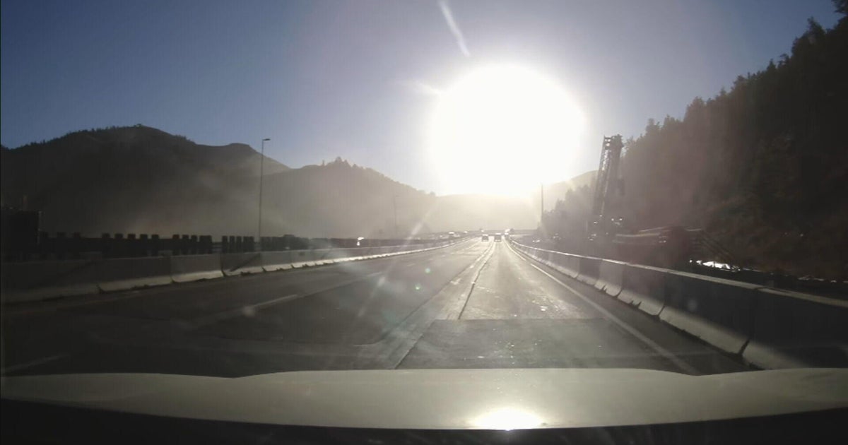 Bright sun glare prompts I-70 closures in Colorado's mountains, from sunrise to mid-morning
October 21, 2026 / 9:43 AM MDT / CBS Colorado As the days get shorter with winter approaching, drivers in Colorado traveling on I-70 will start running into a new issue: sun glare while they are driving. The Colorado…
-
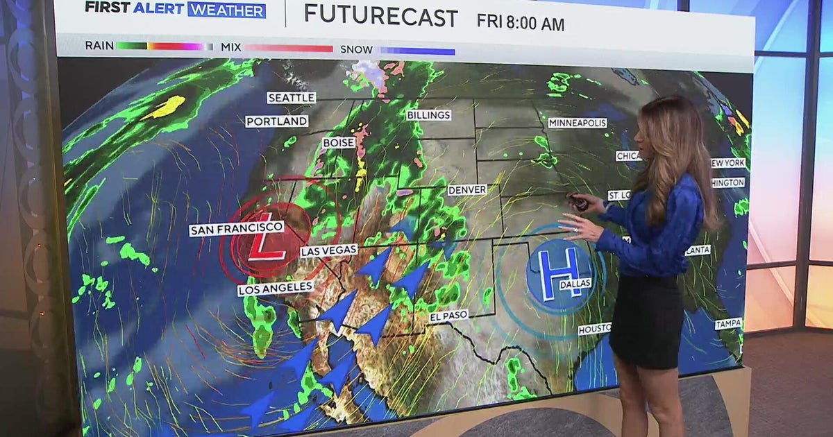 Southwest Colorado braces for heavy rain while dry and warm weather continue for Denver
CBS News Southwest Colorado braces for heavy rain while dry and warm weather continue for Denver I-25 expansion project in Northern Colorado nears completion Ugandan priest released from ICE custody after more than a…
Air quality
Air quality is satisfactory, and air pollution poses little or no risk.
Forecast
- SunGood
- MonGood
Pueblo, CO reporting area · 2 hrs ago. Data from AirNow (EPA and its state, local and tribal partners); preliminary and subject to change.
Sun & moon
Almanac
MonthlyPueblo Area, records since 1888. Normals 1991–2020. Data from NOAA's Regional Climate Centers (ACIS).
Nearby
- Colorado Springs 54 km
- Pueblo 15 km
- Security-Widefield 44 km
- Fountain 37 km
- Cañon City 46 km
- Fort Carson 43 km
- Stratmoor 47 km
- Manitou Springs 59 km
- Florence 35 km
- Penrose 27 km
- Lincoln Park 44 km
- Colorado City 46 km
Forecasters' discussion
From the National Weather Service office in PUB, issued 9 hrs ago
Key Messages
- Widespread moderate to heavy rain will continue through early Monday. Flooding impacts are expected over and near our western mountains.
- Warm and dry this week, with a pattern change coming next weekend.
Short Term
Issued at 1258 AM MDT Sun Oct 25 2026
Widespread moderate to heavy rainfall will continue over portions of the area this morning, mainly lingering over our western mountains and far eastern plains. Latest observations still show high flows and flooding concerns around the Rio Grande and Conejos Rivers, with ongoing impacts on the western side of the San Luis Valley. The high waters will likely continue through the next day or two at least, with downstream impacts delayed as water travels east.
After a brief lull in activity later this morning, more showers and thunderstorms will move up from New Mexico, following the broad upper low moving in from our southwest. Precipitation will spread across the higher terrain and the mountain valleys through this afternoon, moving northeast with time before activity spreads to the plains as well. This will likely result in a secondary surge of moisture across the Rio Grande and Conejos Rivers, with higher waters also moving into the Alamosa area during the afternoon. Conditions will need to be monitored, as several points along the river may meet or exceed flood stages between now and Monday. Forecast updates in regards to flooding potential and impacts will be frequent, so please ensure you have multiple ways of receiving warnings. Do not drive on flooded roads.
More heavy rainfall will also be possible this afternoon over the far southeast plains, with the highest QPF forecast for Kiowa, Prowers, and Baca Counties. Already-saturated areas may see risks for areal flooding, with over an inch of additional moisture possible by Monday morning.
Otherwise, mild and cloudy across the region, with high temperatures in the 50s-60s for most areas. Overnight lows will remain chilly, with 30s-40s for the plains and 20s to low-30s in the valleys.
Several inches of snow are expected for the peaks of the mountains, mainly above 10-11 kft, with some areas seeing a total of 4-8 inches near the peaks. Mountains further east, including Pikes Peak, will see less snow overall, but should still get a few inches at the peaks as well.
Long Term
Issued at 1258 AM MDT Sun Oct 25 2026
The passing system will push east of us by Monday afternoon, leading to warmer and drier conditions across the region for the rest of the week. High temperatures will climb into the 60s to low-70s, with mild overnight lows in the 30s-40s for the plains and 20s for the valleys.
Our next pattern change will come late this week, most likely Friday and into next weekend. Guidance shows a broad upper trough deepening over the Pacific Northwest, with southwest flow moving into our area. This should help return moisture to the mountains, potential spreading more widespread rain into the region over the weekend. As of now, this system also appears to bring some colder air with it, meaning that the mountains at least may see more snow.
Aviation
Issued at 550 AM MDT Sun Oct 25 2026
KCOS: LIFR to IFR conditions are expected at the start of this TAF period, with conditions improving to MVFR by late morning. Currently, thick fog is around the TAF site, significantly lowering visibility and ceiling heights. This fog is expected to dissipate by late morning, though with low level clouds remaining in place, and at MVFR ceiling heights. These low level clouds are anticipated for the rest of the TAF period thereafter. In addition, showers will again increase in coverage this afternoon, which could bring brief periods of reduced visibility. Otherwise, winds will remain relatively light, around and less than 10 knots, through this TAF period.
KPUB: IFR conditions are expected at the start of this TAF period, with conditions improving to MVFR by late morning. Currently, thick low level clouds are present at the TAF site, significantly lowering ceiling heights. These clouds are expected to slightly lift by late morning, with low level clouds then remaining in place, and at MVFR ceiling heights, through the rest of this TAF period. In addition, showers will again increase in coverage this afternoon, which could bring brief periods of reduced visibility. Otherwise, winds will remain relatively light, around and less than 10 knots, through this TAF period.
KALS: MVFR, to at times IFR, conditions are expected over the next 24 hours. Low level clouds will be in place through Monday morning, keeping ceiling heights at MVFR conditions. In addition, showers and weak thunderstorms will again increase in coverage this afternoon, which could bring brief periods of reduced visibility and gusty winds. Otherwise, winds will remain relatively light outside of storms, around and less than 10 knots, through this TAF period.
Forecasts, observations and alerts in the United States come from the National Weather Service (NOAA); radar from NOAA's Multi-Radar Multi-Sensor system; satellite imagery from NASA's Global Imagery Browse Services (GIBS) and NOAA's GOES satellites; the map from the U.S. Geological Survey's National Map; air quality from AirNow (EPA and its partners); hurricane information from the National Hurricane Center; climate normals and records from NOAA's Regional Climate Centers (ACIS). Forecasts outside the United States and the UV index: MET Norway (CC BY 4.0); observations outside the U.S.: airport reports via NOAA's Aviation Weather Center. Place names: GeoNames (CC BY 4.0). Data are copied on a schedule and may lag the sources; for warnings that affect your safety, follow your local National Weather Service office and emergency officials. Weather news is drawn from the 4Search index and reflects what the press published. Terms of use. How to use Weather