Install
Colorado City, CO Weather
Current conditions
Forecast for this hour (no station report in the last two hours)
Forecast
10-day-
Tuesday
Sunny, with a high near 68. East wind 5 to 10 mph.
-
Tuesday Night
Mostly clear, with a low around 40. Southwest wind 5 to 10 mph.
-
Wednesday
Mostly sunny, with a high near 68. Southwest wind 5 to 10 mph.
National Weather Service forecast updated 11 hrs ago.
Hourly
Hourly forecast- Now64°
- 1 PM65°
- 2 PM65°
- 3 PM67°
- 4 PM65°
- 5 PM63°
- 6 PM60°
- 7 PM54°
- 8 PM51°
- 9 PM49°
- 10 PM47°
- 11 PM46°
- Wed12 AM46°
- 1 AM45°
- 2 AM44°
- 3 AM44°
- 4 AM42°
- 5 AM42°
- 6 AM42°
- 7 AM40°
- 8 AM44°
- 9 AM50°
- 10 AM57°
- 11 AM61°
10-day forecast
Details- TonightOct 26Partly Cloudy37°
- TodayOct 27Sunny40°68°
- WedOct 28Mostly Sunny41°68°
- ThuOct 29Mostly Sunny43°67°
- FriOct 30Mostly Sunny12%41°65°
- SatOct 31Sunny10%42°65°
- SunNov 1Chance Rain Showers52%41°61°
- MonNov 2Chance Rain Showers48%56°
- TueNov 3Cloudy42°53°
- WedNov 4Sunny37°59°
Days after the National Weather Service's seven are MET Norway's outlook, a computer model with no forecaster's review.
Radar
Full mapWeather news near Colorado City
More weather news- Vance intensifies rapidly and could become a major Category 3 hurricane off Mexico’s Pacific Coast
Friday, Oct 23, 2026 9:08 PM MT This GOES-19 GeoColor satellite image provided by the National Oceanic and Atmospheric Administration (NOAA) and taken on Friday, Oct. 23, 2026, shows Hurricane Vance in the Pacific…
- Special Weather Statement issued October 22 at 4:48PM MDT by NWS Pueblo CO
Special Weather Statement: Colorado Springs Vicinity/Southern El Paso County/Rampart Range Below 7400 Ft, Pueblo Vicinity/Pueblo County Below 6300 Feet, Walsenburg Vicinity/Upper Huerfano River Basin Below 7500 Ft and 2…
-
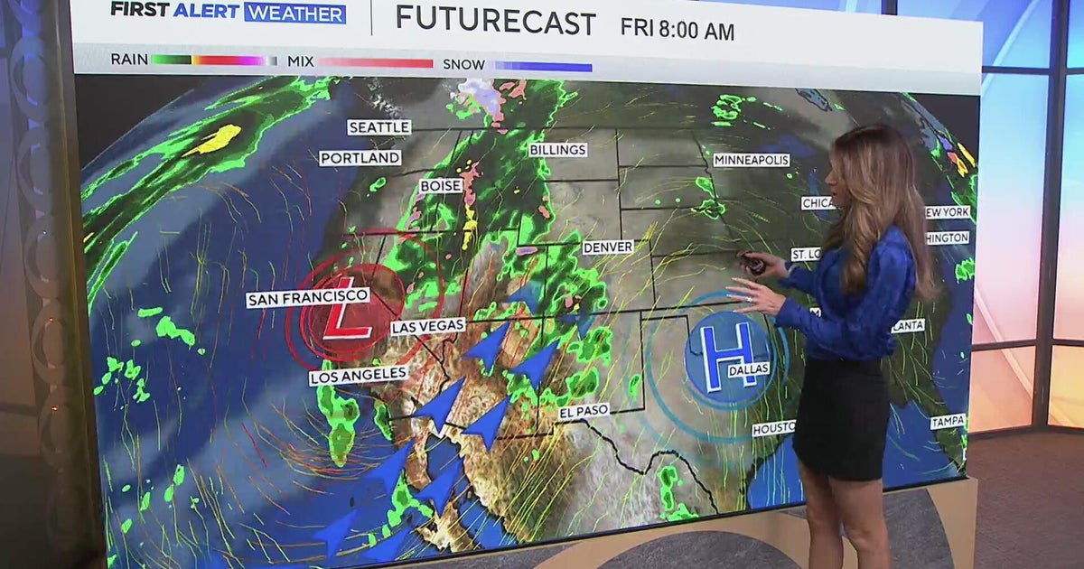 Southwest Colorado braces for heavy rain while dry and warm weather continue for Denver
CBS News Southwest Colorado braces for heavy rain while dry and warm weather continue for Denver I-25 expansion project in Northern Colorado nears completion Ugandan priest released from ICE custody after more than a…
-
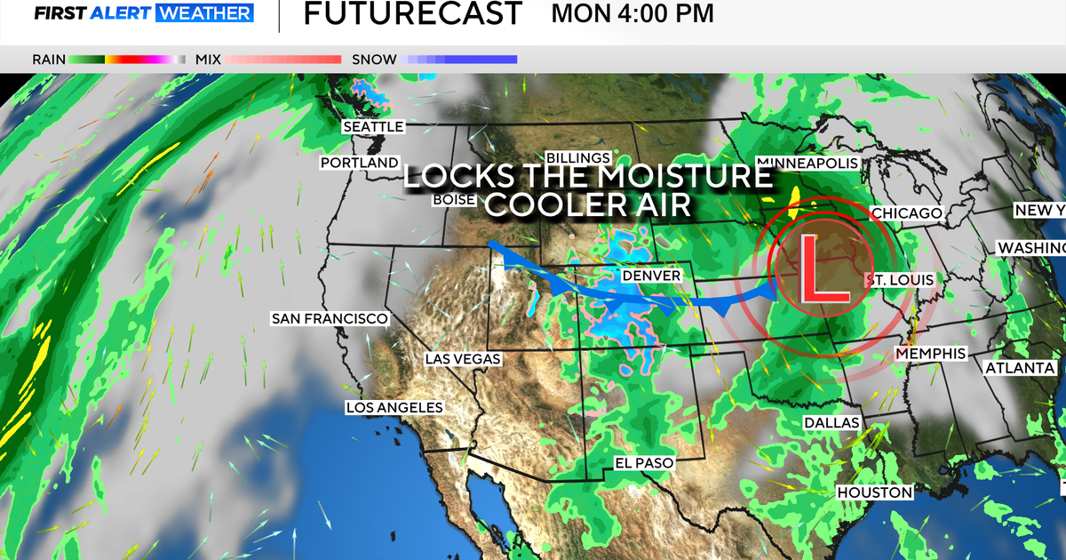 Colorado's dry week could end with a big storm bringing heavy rain and mountain snow
October 26, 2026 / 12:52 PM MDT / CBS Colorado Another storm is looming in Colorado's extended forecast, and we've seen this play out before. The script remains familiar: A surge of Pacific moisture moves into the…
-
 Colorado Springs weather: Mild and sunny for most of the week
After a cool, overcast Sunday and overnight rainfall, Colorado Springs residents can expect warmer, milder conditions this week, according to Gazette news partner KOAA. “We had some rain move in overnight, but that…
-
 Tracking a warmer & drier day ahead
TODAY: We warm up a few more degrees, with highs in the upper 60s in Colorado Springs and the low 70s in Pueblo and other areas of the Arkansas River TODAY: We warm up a few more degrees, with highs in the upper 60s in…
- Dense Fog Advisory issued October 27 at 8:08AM MDT until October 27 at 9:00AM MDT by NWS Pueblo CO
Dense Fog Advisory: Northern El Paso County/Monument Ridge/Rampart Range Below 7500 Ft; Colorado Springs Vicinity/Southern El Paso County/Rampart Range Below 7400 Ft until Oct 27 at 2:49 PM The post Dense Fog Advisory…
- Dense Fog Advisory issued October 27 at 12:38AM MDT until October 27 at 9:00AM MDT by NWS Pueblo CO
Dense Fog Advisory: Northern El Paso County/Monument Ridge/Rampart Range Below 7500 Ft; Colorado Springs Vicinity/Southern El Paso County/Rampart Range Below 7400 Ft until Oct 27 at 6:49 AM The post Dense Fog Advisory…
-
 Sunday night showers with a nicer week ahead for southern Colorado
A few more showers are possible tonight with cooler temperatures. Tomorrow brings in changes with a quieter pattern. SUNDAY NIGHT: Showers and a few storms are likely around the Pikes Peak Region and further south until…
-
 Tracking warming & drying conditions
TODAY: Any lingering showers should dissipate by late morning. Temperatures will warm from the 30s and 40s this morning to the 60s in Colorado Springs, TODAY: Any lingering showers should dissipate by late morning…
Air quality
Air quality is satisfactory, and air pollution poses little or no risk.
Forecast
- TueGood
- WedGood
Pueblo, CO reporting area · 2 hrs ago. Data from AirNow (EPA and its state, local and tribal partners); preliminary and subject to change.
Sun & moon
Almanac
MonthlyWillis Creek Colorado, records since 1989. Normals 1991–2020. Data from NOAA's Regional Climate Centers (ACIS).
Nearby
- Pueblo 40 km
- Pueblo West 46 km
- Florence 55 km
- Penrose 56 km
- Walsenburg 36 km
Forecasters' discussion
From the National Weather Service office in PUB, issued 6 hrs ago
Key Messages
- Drier and warmer through most of the week, with a pattern shift starting on Friday.
- Cooler and more active weather expected this weekend and into next week. Details remain uncertain.
Short Term
Issued at 1239 AM MDT Tue Oct 27 2026
With consistent fog across El Paso County, have issued a Dense Fog Advisory, valid through 9am today. Will monitor conditions to see if an expansion is needed.
Patchy fog is expected across the area into the morning hours. Take caution when traveling, as visibility could be reduced quickly. Main areas of concern will be areas along and east of I-25, along with the San Luis Valley. Conditions will improve by midday.
Generally a warm, dry day across the region today. High temperatures will be in the 60s to low-70s, with gradually clearing skies and light south winds.
Ongoing flooding will still be a concern around the Rio Grande and Conejos Rivers, with high flows and flood waters expected to linger for several more days. In addition, high flow continues to push through the Purgatoire River from recent rainfall, with minor flooding expected near Las Animas that will last through the day.
Long Term
Issued at 1239 AM MDT Tue Oct 27 2026
Warm and dry through most of the week. Temperatures will be 5-10 degrees above average around midweek, cooling a bit on Thursday after a passing wave shoves a dry cold front through the plains.
Long-range forecast remains consistent with recent model runs, though some of the fine details are still unclear. A broad upper trough will amplify over the Pacific Northwest, moving down the coast and tracking east through the weekend. Southwest flow will settle over our area out ahead of the system, with a renewed moisture tap leading to accumulating mountain snow starting on Friday. Beyond that, latest guidance has a low pressure system moving into our area later in the weekend, hinting at cooler and more unsettled weather into early next week. However, model solutions greatly diverge on the path and evolution of this system, so it will likely be several days before those details become certain.
Aviation
Issued at 550 AM MDT Tue Oct 27 2026
IFR/LIFR conditions are COS and PUB through the early morning hours, with stratus and fog diminishing between 14Z-16Z with VFR conditions, clear skies and light diurnal wind regimes expected through the rest of the taf period.
Patchy fog remains possible at ALS through 14Z, with VFR conditions and light diurnal winds expected through the rest of this taf period.
Forecasts, observations and alerts in the United States come from the National Weather Service (NOAA); radar from NOAA's Multi-Radar Multi-Sensor system; satellite imagery from NASA's Global Imagery Browse Services (GIBS) and NOAA's GOES satellites; the map from the U.S. Geological Survey's National Map; air quality from AirNow (EPA and its partners); hurricane information from the National Hurricane Center; climate normals and records from NOAA's Regional Climate Centers (ACIS). Forecasts outside the United States and the UV index: MET Norway (CC BY 4.0); observations outside the U.S.: airport reports via NOAA's Aviation Weather Center. Place names: GeoNames (CC BY 4.0). Data are copied on a schedule and may lag the sources; for warnings that affect your safety, follow your local National Weather Service office and emergency officials. Weather news is drawn from the 4Search index and reflects what the press published. Terms of use. How to use Weather