Install
Lake of the Woods, AZ Weather
Current conditions
Observed at Show Low, Show Low Regional Airport · 1 hr ago
Forecast
10-day-
Monday Night
Mostly clear, with a low around 38. East wind 5 to 8 mph.
-
Tuesday
Sunny, with a high near 61. South wind 5 to 9 mph, with gusts as high as 16 mph.
-
Tuesday Night
Partly cloudy, with a low around 40. South wind around 7 mph.
National Weather Service forecast updated 4 days ago.
Hourly
Hourly forecast- Now41°
- 1 AM40°
- 2 AM40°
- 3 AM40°
- 4 AM39°
- 5 AM40°
- 6 AM41°
- 7 AM42°
- 8 AM45°
- 9 AM49°
- 10 AM54°
- 11 AM58°
- 12 PM60°
- 1 PM61°
- 2 PM61°
- 3 PM61°
- 4 PM59°
- 5 PM57°
- 6 PM54°
- 7 PM50°
- 8 PM47°
- 9 PM45°
- 10 PM44°
- 11 PM43°
10-day forecast
Details- ThuOct 22Showers And Thunderstorms99%46°62°
- FriOct 23Slight Chance Showers And Thunderstorms36%40°61°
- SatOct 24Chance Showers And Thunderstorms36%35°56°
- SunOct 25Sunny36°57°
- MonOct 26Sunny38°59°
- TodayOct 27Sunny40°61°
- WedOct 28Mostly Sunny12%41°62°
- ThuOct 29Partly cloudy42°65°
- FriOct 30Cloudy42°62°
- SatOct 31Cloudy0.03 in41°62°
Days after the National Weather Service's seven are MET Norway's outlook, a computer model with no forecaster's review.
Radar
Full mapWeather news in Arizona
More weather news-
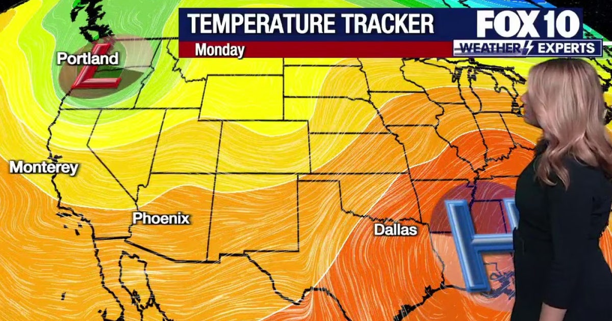 Arizona weather forecast: Warm week ahead before rain, storms return on Friday
Phoenix stays warm in the 80s through Thursday before widespread rain and storms arrive on Friday. PHOENIX - A few warm and dry days are expected around Arizona before the next round of changes arrives in the forecast…
- Two Rounds of Rain and Thunderstorms Expected in Arizona Next Weekend
According to the Arizona Weatherman, Friday through Monday, 30 Oct–2 Nov 2026, expect a one-two punch of rain and thunderstorms to impact the state. Moisture associated with Tropical Storm Vance will work its way into…
-
 Tracking drier weather on tap for Arizona this week
Over the work week, dry conditions will continue as a ridge of high pressure builds into our state. Paul Horton has your First Alert forecast. Tracking drier weather on tap for Arizona this week Taking a sweet trip down…
-
 Tornadoes confirmed in Arizona
KOLD Tornadoes confirmed in Arizona Unusually high severe weather risk continues across Arizona through Thursday Severe storms and flash flooding likely across Arizona Wednesday and Thursday
-
 Chicago weather: A few showers could impact trick-or-treaters on Saturday
Emily Wahls has your weather update! CHICAGO - Chicagoland has been in and out of the clouds today with mid-afternoon temperatures ranging from upper 50s near the lakefront to near 70 degrees inland. Tonight will be…
-
 Tracking a Few Showers on Tuesday
Mike Bracciano has been the Storm Tracker Chief Meteorologist at KQ2 News for over 38 years. Tuesday is shaping up to be another changeable fall weather day across Northwest Missouri and Northeast Kansas. We will be…
-
 Dry start to week expected to give way to rain, mountain snow, cooler weather in Southern Nevada
Monday, Oct. 26, 2026 | 11:25 a.m. Dry weather is expected to hold across Southern Nevada through midweek before a storm system late in the week could bring rain, mountain snow and cooler temperatures into the weekend…
-
 Fresh warnings issued as strong winds and heavy rain forecast after two storms
Fresh weather warnings have been issued as strong winds and heavy rain are on the way after two storms battered Britain. Yellow wind warnings will be in place for western areas of the UK on Monday and Tuesday as gales…
- London set for 10 days of dry weather after storms wreak havoc
London is set for a period of dry weather, after two named storms caused havoc over the weekend. Storm Austen was swiftly followed by Storm Boelo, with thousands across the south of England left without power as 80mph…
-
 Warming trend builds before rain chances move back into Arizona
PHOENIX (AZFamily) — After an active and extreme weather week, look for a beautiful weekend in the Phoenix area with highs below average. Grab a light jacket this morning. You can expect lows in the 50s and 60s across…
Sun & moon
Nearby
- Show Low 11 km
- Snowflake 40 km
- Pinetop-Lakeside 4 km
- Taylor 35 km
- Whiteriver 36 km
- Linden 20 km
- White Mountain Lake 21 km
Forecasters' discussion
From the National Weather Service office in FGZ, issued 2 hrs ago
Synopsis
Mild and dry weather is forecast through Thursday. Cooler, more unsettled weather looks to return for Friday and the weekend.
Discussion
A dry westerly zonal flow will remain over Arizona through Thursday before a Pacific trough delivers unsettle weather over the weekend.
For today through Thursday...With zonal flow aloft fair weather is forecast, with mild temperatures and dry conditions. As the end of the week trough approaches Arizona, look for increasing mid- to high-level clouds from Wednesday into Thursday. As far as the winds, a very weak shortwave trough brushing Arizona on Tuesday will deliver southwest winds a 10-20 mph during the day. Lighter winds on Wednesday behind the weak shortwave will be followed by stronger southwest winds on Thursday as the more substantial weekend trough approaches.
From Friday into early Monday...A strong Pacific trough will move across the western states tapping into subtropical moisture. Friday will see the first chance for precipitation as a shortwave trough interacts with increasing moisture to produce scattered showers and isolated thunderstorms. We are expecting the Friday rain event to remain on the light side with liquid equivalent amounts ranging from 0.05 to 0.40 inches. Severe thunderstorms are no expected. Moisture will continue to increase on Saturday but with no large-scale upward forcing the main source of lift will be in the form orographic assent where .05 to 0.15 inches of precipitation are expected over the mountain areas of northern Arizona. There could be a few drips Halloween night so plan accordingly. The Friday/Saturday system will be relatively warm with any accumulating snow likely confined to above 9000 feet. The main body of the Pacific trough will move through from Sunday into Monday. Strong large scale lift, moderate upslope flow and subtropical moisture will combine for widespread showers and isolated thunderstorms. At the current time we are looking at rainfall totals ranging from 0.50-1.50 inches with the second, stronger trough, but this is apt to change as forecast amounts could go higher with subtropical moisture in play. The air mass will remain mild with accumulating snow levels remaining largely above 9000 feet.
Later next Monday and for most of next week...Fair and dry weather returns under high pressure.
Aviation
Tuesday 27/06Z through Wednesday 28/06Z...VFR conditions. Localized MVFR due to HZ/FU at sites near prescribed burns. Light and variable or terrain driven winds overnight, then becoming S-SW 5-15 kts after 18Z.
OUTLOOK...Wednesday 28/06Z through Friday 30/06Z...VFR conditions. Daytime winds S-SW 5-15 kts, becoming light and variable or terrain driven overnight.
Fire Weather
This afternoon through Wednesday...Dry conditions and gradual warming through Wednesday. Light and variable winds this afternoon, becoming south/southwest 5-15 mph during the daytime Tuesday and Wednesday.
Thursday through Saturday...Max daytime temperatures will hold steady Thursday and then decreasing slightly Friday and Saturday. The chances for showers and thunderstorms start to increase late Thursday and continue to increase Friday and Saturday. South/southwest 10-20 mph on Thursday through Saturday.
Forecasts, observations and alerts in the United States come from the National Weather Service (NOAA); radar from NOAA's Multi-Radar Multi-Sensor system; satellite imagery from NASA's Global Imagery Browse Services (GIBS) and NOAA's GOES satellites; the map from the U.S. Geological Survey's National Map; air quality from AirNow (EPA and its partners); hurricane information from the National Hurricane Center; climate normals and records from NOAA's Regional Climate Centers (ACIS). Forecasts outside the United States and the UV index: MET Norway (CC BY 4.0); observations outside the U.S.: airport reports via NOAA's Aviation Weather Center. Place names: GeoNames (CC BY 4.0). Data are copied on a schedule and may lag the sources; for warnings that affect your safety, follow your local National Weather Service office and emergency officials. Weather news is drawn from the 4Search index and reflects what the press published. Terms of use. How to use Weather