Install
Farmington, NM 87401 Weather
Current conditions
Observed at Farmington, Four Corners Regional Airport · 27 min ago
Forecast
10-day-
Tonight
Mostly cloudy, with a low around 51. East wind around 10 mph.
-
Wednesday
Rain showers likely before noon, then showers and thunderstorms between noon and 3pm, then a chance of showers and thunderstorms. Mostly cloudy. High near 70, with temperatures falling to around 66 in the afternoon. East wind around 10 mph. Chance of precipitation is 80%. New rainfall amounts between a tenth and quarter of an inch possible.
-
Wednesday Night
Showers and thunderstorms. Cloudy, with a low around 54. East wind around 10 mph. Chance of precipitation is 80%. New rainfall amounts between a tenth and quarter of an inch possible.
National Weather Service forecast updated 4 hrs ago.
Hourly
Hourly forecast- Now57°
- 11 PM55°
- Wed12 AM54°
- 1 AM54°
- 2 AM53°
- 3 AM52°
- 4 AM52°
- 5 AM52°
- 6 AM52°29%
- 7 AM52°29%
- 8 AM52°29%
- 9 AM54°67%
- 10 AM58°67%
- 11 AM61°67%
- 12 PM64°80%
- 1 PM66°80%
- 2 PM67°80%
- 3 PM69°46%
- 4 PM67°46%
- 5 PM66°46%
- 6 PM65°61%
- 7 PM62°61%
- 8 PM60°61%
- 9 PM59°81%
10-day forecast
Details- TonightOct 20Mostly Cloudy51°
- WedOct 21Showers And Thunderstorms83%54°70°
- ThuOct 22Showers And Thunderstorms99%52°67°
- FriOct 23Chance Showers And Thunderstorms then Mostly Sunny49%46°64°
- SatOct 24Chance Rain Showers37%43°62°
- SunOct 25Slight Chance Rain Showers23%42°60°
- MonOct 26Mostly Sunny44°61°
- TueOct 27Mostly Sunny then Slight Chance Rain Showers15%63°
- WedOct 28Sunny36°59°
- ThuOct 29Cloudy37°60°
Days after the National Weather Service's seven are MET Norway's outlook, a computer model with no forecaster's review.
Radar
Full mapWeather news near Farmington
More weather news-
 Monday evening forecast: Heavy rain coming later this week
ALBUQUERQUE, N.M. – Thursday currently looks like New Mexico’s main heavy rain day, with flash flood concerns increasing across the western half to western two-thirds of the state. Scattered showers and thunderstorms…
-
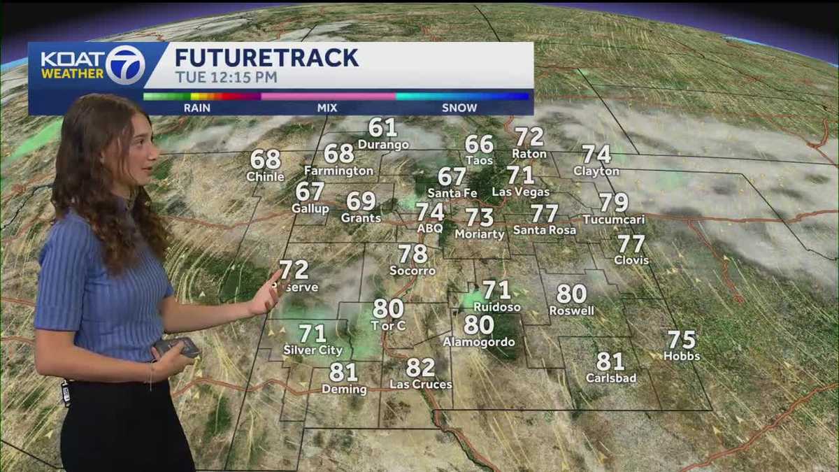 Warmer today, with rain chances out west.
KOAT Warmer today, with rain chances out west. Lows will trend increasingly warmer, as spotty showers move through western New Mexico. Morning lows are trending closer to 40s and 50s throughout the state, as opposed to…
-
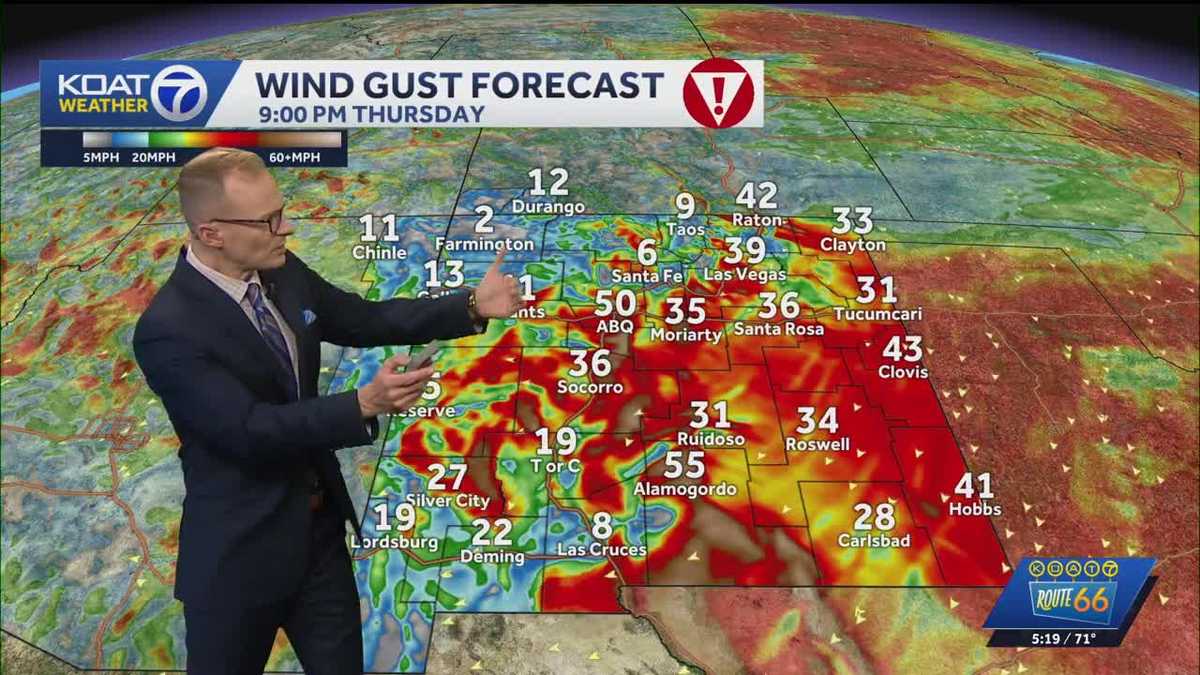 Dangerous wind and freezing temperatures
koat Dangerous east canyon winds target the east side of the Albuquerque metro tonight into early Friday Wind gusts could reach from 50 to 60 mph Thursday night in the Albuquerque metro, which could cause areas of…
-
 Showers moving into north-central New Mexico with cold front Wednesday
ALBUQUERQUE, N.M. – Light showers will continue over Tuesday night in parts of northwestern New Mexico before a more active round of rain moves west to east Wednesday morning. Expect light showers overnight in…
-
 Heavy rain could bring flash flooding to New Mexico, southwest Colorado through Friday
KRQE A strong storm system will bring widespread rain to New Mexico and southwest Colorado starting Wednesday, with several inches of rain possible in some areas through Friday Heavy rainfall could lead to flash…
-
 Rain and cooler temperatures around New Mexico
Isolated rain with very spotty lightning activity is once again present mostly in parts of western and southern New Mexico as clouds are present across the region. Skies are generally partly to mostly cloudy with some…
-
 Active weather pattern in New Mexico takes a slight lull Tuesday
ALBUQUERQUE, N.M. — An active stretch of weather in New Mexico continued Tuesday morning but the afternoon and evening will see it take a slight lull. The Albuquerque metro saw some rain overnight. However, drier air is…
-
 Rain, river rises expected in New Mexico this week
Star Ligon makes adjustments to bunches of ceramic red chile ristras while enjoying warm weather in the Rainbow Man’s historic courtyard Friday. The Rainbow Man keeps the courtyard open through good weather and…
-
 Heavy rain and flash flooding possible in New Mexico, southwest Colorado this week
KRQE A strong storm system will bring widespread rain to New Mexico and southwest Colorado Wednesday through Friday Heavy rainfall could lead to flash flooding, especially Thursday and Friday Several inches of rain are…
-
 Warm days, chilly nights: New Mexico’s weekend weather outlook
ALBUQUERQUE, N.M. – After a cold morning, most of New Mexico will see sunshine and afternoon highs in the 60s. Saturday night will not be as cold, but some parts of the northern mountains and northeast New Mexico may…
Air quality
Air quality is satisfactory, and air pollution poses little or no risk.
Forecast
- TueGood (45)
- WedGood (42)
San Juan County, NM reporting area · 1 hr ago. Data from AirNow (EPA and its state, local and tribal partners); preliminary and subject to change.
Sun & moon
Almanac
MonthlyFarmington Four Corners Regional Ap, records since 1941. Normals 1991–2020. Data from NOAA's Regional Climate Centers (ACIS).
Nearby
- Shiprock 45 km
- Kirtland 16 km
- Bloomfield 18 km
- Aztec 19 km
- Lee Acres 14 km
- West Hammond 13 km
- Flora Vista 11 km
Forecasters' discussion
From the National Weather Service office in ABQ, issued 5 hrs ago
Key Messages
Issued at 509 PM MDT Tue Oct 20 2026
- Flash flood risk increases in northwest New Mexico Wednesday, spreading eastward into central New Mexico late Thursday into Friday.
- A few strong to severe storms in western New Mexico Wednesday could produce damaging outflow wind gusts and large hail. The severe threat extends into central New Mexico Thursday.
- Isolated to scattered showers and storms will focus over western and central New Mexico today. Brief gusty outflow winds and lightning are the main hazards.
Short Term
(This evening through Wednesday night) Issued at 120 PM MDT Tue Oct 20 2026
Shortwave ridging is building into place over the region in the wake of a departing shortwave trough over CO/UT. Strengthening southwesterly shear will help afternoon showers and storms get going over the southwest mountains where abundant low level moisture remains, highlighted by surface Td's in the 50s. SW-NE steering flow will take these scattered showers with a few embedded thunderstorms into the Rio Grande Valley from Socorro to ABQ to Santa Fe late this afternoon and evening. Southerly flow at the surface will continue to maintain an increased level of boundary layer moisture into southern and central portions of NM tonight into Wednesday morning. Combined with light and variable winds, the abundant near surface moisture will allow for some patchy fog development over portions of central and eastern NM Wednesday morning.
Wednesday continues to see the upper level pattern become sharply amplified with AZ/NM stuck between a 555-558dm H5 closed low off the CA coastline and a ridge of high pressure aligned N-S over the TX Big Bend area and eastern NM. Current satellite shows the beginnings of the suptropical jet bringing a steady flow of moisture into the Baja Coast now, expected to override the Desert Southwest Wednesday afternoon. PWAT climbs to the 0.85" to 0.95" range with scattered to numerous showers and thunderstorms along the Mogollon Rim northward over much of Navajo Nation stretching into the Four Corners region and northwestern NM Wednesday afternoon. A veering wind profile looks to yield 35-45kts of bulk shear alongside SBCAPE of ranging from 500-1000 J/kg supports a current marginal risk of strong to severe storms over western NM Wednesday afternoon and evening. As the H5 closed low begins to come ashore SoCal Wednesday night, a steady flow of fast moving thunderstorms will continue to cross SW- NE thru northeastern AZ and into western NM. Flow between the low and the ridge of high pressure will become more meridional N-S in nature, thus limiting the eastward progression of storms further into NM thru Wednesday night. This will be the first phase of a multi-day heavy rain event across the state lasting into the weekend. With training storms capable of producing locally heavy rainfall supporting a marginal to slight risk of excessive rainfall, a Flood Watch was laid out for western NM mainly along and west of the Continental Divide. This Flood Watch is likely to be expanded eastward into central and eastern NM for the Thursday thru Friday timeframe.
Long Term
(Thursday through Monday) Issued at 120 PM MDT Tue Oct 20 2026
Thursday begins the second phase of this multi-day heavy rain event with a vortmax rotating around the southeastern periphery of the H5 low and over the Desert Southwest. This feature will act to push the main area of fast moving SW-NE moving thunderstorm activity eastward toward the Rio Grande Valley and central mountain chain of NM. Remaining in the warm sector of this storm system as well the subtropical source region for the anomalous moisture plume, snow levels will remain very high over NM. Much if not nearly all of this event's precipitation will be in the form of rain, even over the northern high terrain. This is also resulting in a rain on snow threat over the CO San Juans, in turn increasing the risk of higher river flows along the San Juan basin of northwestern NM. Areas along river banks will be susceptible to flooding in this area.
Otherwise, Thursday and Thursday night into Friday morning sees the bulk of the heavy rainfall risk over western, central, and northern NM. Whether from fast moving storms repeatedly passing over the same lower to mid-level elevations or orographically enhanced precipitation over the western and northern mountains, excessive rainfall threatening flash flooding will be a persistent concern thru this timeframe. Generally speaking, lower to mid-elevation areas of central and western NM look to receive 0.50" to 0.75" with locally higher amounts upwards of 1.00+". The higher terrain of the southwestern mountains, near the Continental Divide in west-central NM, and the Jemez and Tusas Mountains look to catch 1 to 2 inches with locally higher amounts upwards of 2 to 4 inches. A marginal to slight risk of excessive rainfall was maintained by the WPC as a result. Low lying and poorly drained areas, low water crossings, urban areas, and recent burn scars are most at risk. Timing favors areas along the Rio Grande Valley from Socorro to ABQ to Santa Fe to Taos Thursday night through Friday morning for the heaviest round(s) of thunderstorm rain.
The final phase of this event has seen numerical model guidance come into better agreement with a secondary H5 low closing off over western AZ. This feature looks to continue tapping into subtropical moisture, bringing it up into central and eastern NM late Friday and into the weekend. Areas along and east of the central mountain chain will then be favored for repeated rounds of showers and thunderstorms, increasing their own risk for flooding impacts. Areas along and west of the Rio Grande Valley look to dry out during this time, with one more round of showers/storms favored thru northwestern NM Saturday afternoon as the H5 low looks to track northeastward into UT. Precipitation chances and intensities look to slowly dwindle for central and eastern NM Sunday and into next week.
Aviation
(00Z TAFS) Issued at 509 PM MDT Tue Oct 20 2026
Isold SHRA/TS late this afternoon will dissipate this evening while mid and upper level cigs increase from southwest to northeast overnight. There is <30% chance of patchy IFR fog within western valleys, the Estancia Valley, and southeast NM around sunrise. There is a 10-20% chance of IFR cigs developing over southeast NM from near Roswell to Carlsbad around sunrise. Cigs will lower over western NM Wednesday afternoon while increasing coverage of SHRA/TS spreads northeast across the area.
Forecasts, observations and alerts in the United States come from the National Weather Service (NOAA); radar from NOAA's Multi-Radar Multi-Sensor system; satellite imagery from NASA's Global Imagery Browse Services (GIBS) and NOAA's GOES satellites; the map from the U.S. Geological Survey's National Map; air quality from AirNow (EPA and its partners); hurricane information from the National Hurricane Center; climate normals and records from NOAA's Regional Climate Centers (ACIS). Forecasts outside the United States and the UV index: MET Norway (CC BY 4.0); observations outside the U.S.: airport reports via NOAA's Aviation Weather Center. Place names: GeoNames (CC BY 4.0). Data are copied on a schedule and may lag the sources; for warnings that affect your safety, follow your local National Weather Service office and emergency officials. Weather news is drawn from the 4Search index and reflects what the press published. Terms of use.