Install
Stamford, TX 79553 Weather
Current conditions
Observed at Abilene, Abilene Regional Airport · 36 min ago
Forecast
10-day-
Today
Sunny, with a high near 82. South wind around 5 mph.
-
Tonight
Partly cloudy. Low around 58, with temperatures rising to around 61 overnight. South southeast wind around 5 mph.
-
Thursday
Mostly sunny, with a high near 84. South southeast wind 0 to 10 mph.
National Weather Service forecast updated 10 hrs ago.
Hourly
Hourly forecast- Now76°
- 2 PM79°
- 3 PM80°
- 4 PM81°
- 5 PM81°
- 6 PM80°
- 7 PM77°
- 8 PM74°
- 9 PM69°
- 10 PM68°
- 11 PM66°
- Thu12 AM65°
- 1 AM65°
- 2 AM64°
- 3 AM63°
- 4 AM62°
- 5 AM61°
- 6 AM60°
- 7 AM59°
- 8 AM59°
- 9 AM62°
- 10 AM67°
- 11 AM71°
- 12 PM75°
10-day forecast
Details- TodayOct 21Sunny58°82°
- ThuOct 22Mostly Sunny61°84°
- FriOct 23Mostly Sunny61°83°
- SatOct 24Mostly Sunny63°80°
- SunOct 25Partly Sunny then Slight Chance Rain Showers22%59°76°
- MonOct 26Chance Rain Showers43%55°75°
- TueOct 27Chance Rain Showers43%53°68°
- WedOct 28Cloudy62°78°
- ThuOct 29Partly cloudy61°77°
- FriOct 30Cloudy57°66°
Days after the National Weather Service's seven are MET Norway's outlook, a computer model with no forecaster's review.
Radar
Full mapWeather news in Texas
More weather news-
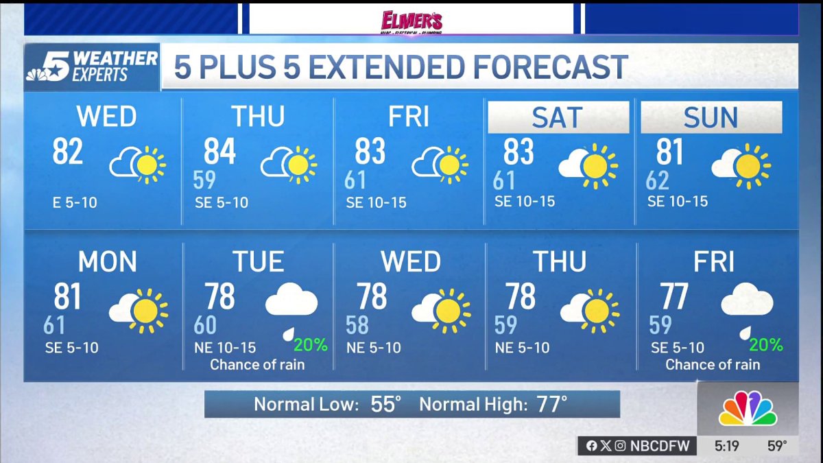 NBC 5 Forecast: A quiet weather pattern continues for North Texas
NBC 5 Dallas-Fort Worth NBC 5 Forecast: A quiet weather pattern continues for North Texas
-
 Storms, flooding possible in parts of Texas. Here's where
The National Weather Service Amarillo says a slight risk for excessive rainfall and flooding is possible on Friday and Saturday, October 23-24, 2026. If you feel like you need a break from all the ups and downs of Texas…
-
 Sunny and dry in Texas, but wild weather across U.S. hits both coasts
Temperatures in Austin will climb to just a few degrees above our mid-October average of 82 degrees. Early-rising Texans might notice temperatures beginning to warm up over the next few mornings. Predawn temps will…
-
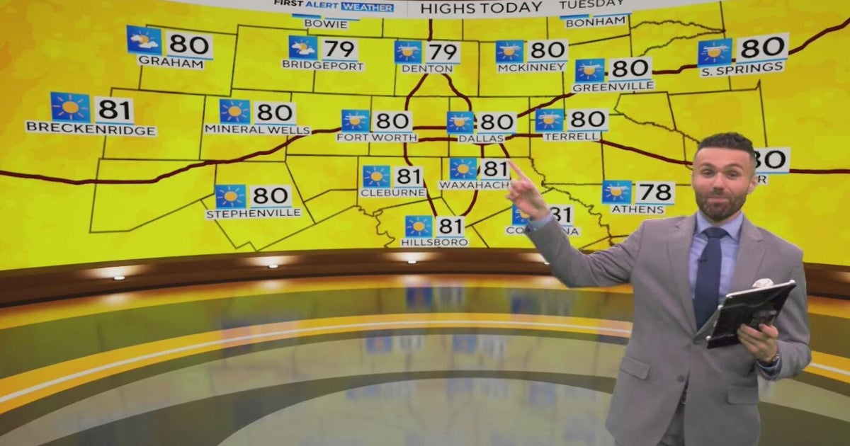 Great weather in North Texas this week
CBS News Baltimore 8am CBS News Boston 8am CBS News Chicago 7am CBS News Colorado This Morning 6am CBS News Los Angeles Mornings 5am CBS News Miami 8am CBS News New York 8am CBS News Texas 7am
-
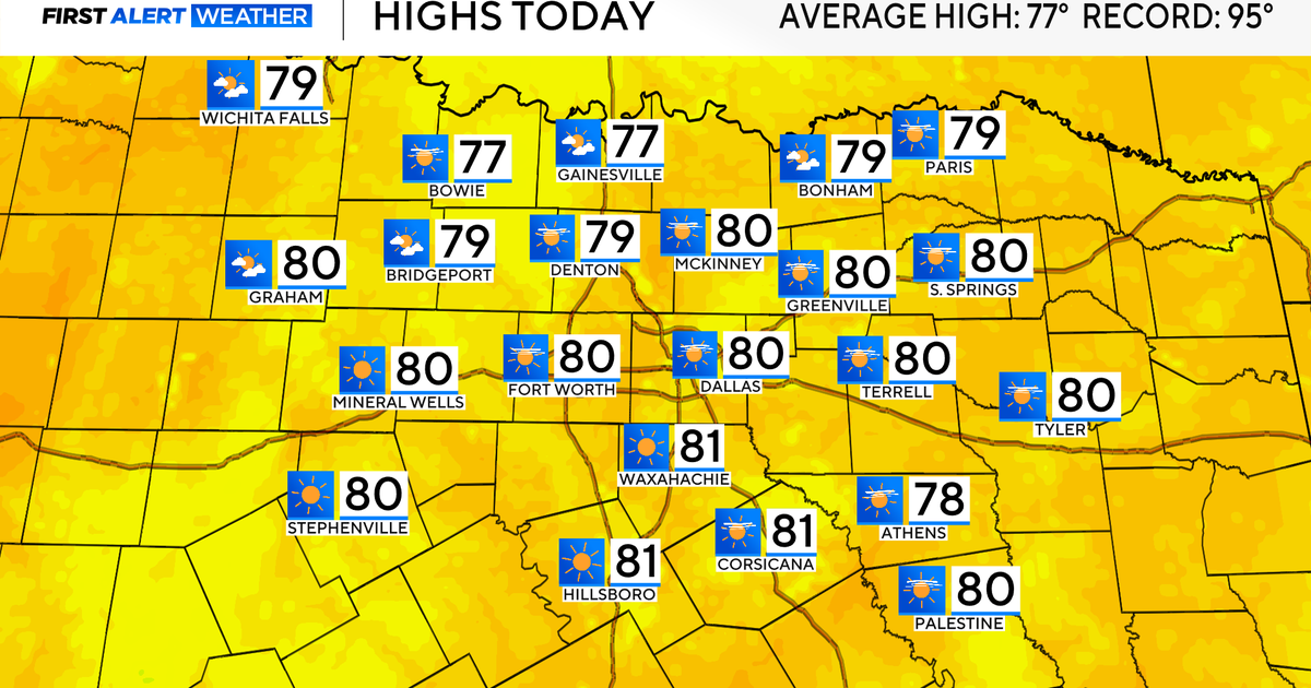 Temperatures climb into 80s as rain chances remain slim across North Texas
Updated on: October 20, 2026 / 7:28 AM CDT / CBS Texas It's another crisp fall morning, Tuesday, with temperatures in the 40s and 50s across North Texas. Have the light jacket handy and grab your sunglasses for the…
-
 When will fall foliage peak across Texas? Here’s a timeline.
Maple trees are turning colors at Lost Maples State Nature Area near Vanderpool. The park is a popular destination in the fall, and reservations are recommended. Fall weather finally arrived across all of Texas last…
-
 Partly Cloudy, no rain expected Tuesday in Southeast Texas
NewsBreak: Local News & Alerts Partly Cloudy, no rain expected Tuesday in Southeast Texas You may also like
-
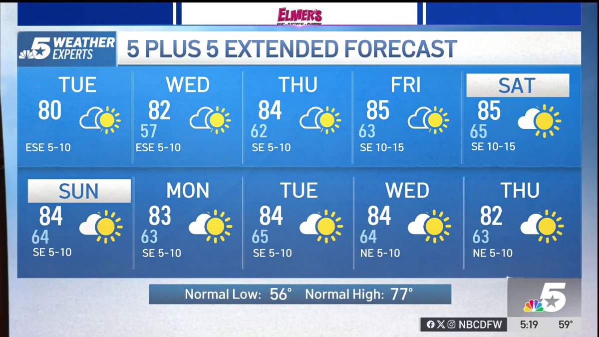 NBC 5 Forecast: A quiet weather pattern for North Texas
NBC 5 Dallas-Fort Worth NBC 5 Forecast: A quiet weather pattern for North Texas
-
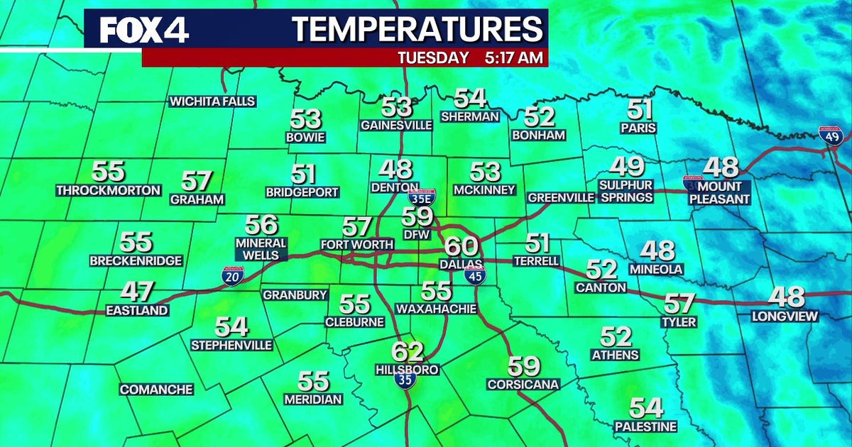 Dallas Weather: 80-degree highs return to North Texas
FOX 4's Ali Turiano has the morning forecast for Oct. 20. DALLAS - North Texans can expect pleasant weather to continue as afternoon highs return to the 80s starting today and last through the rest of the week. After…
-
 Beautiful stretch of weather continues across North Texas
The Takeout with Major Garrett CBS News Chicago 4pm CBS News Detroit 5pm CBS News Miami 5pm The 4 from WCCO News CBS News New York 5pm CBS News Philadelphia 5pm CBS News Texas at 4pm
Sun & moon
Almanac
MonthlyAnson, records since 1898. Normals 1991–2020. Data from NOAA's Regional Climate Centers (ACIS).
Nearby
Forecasters' discussion
From the National Weather Service office in SJT, issued 1 hr ago
Key Messages
- A gradual warming trend will continue through the upcoming week.
- Increasing chances for precipitation Sunday into early next week, along with cooler temperatures.
Short Term
(Today and tonight) Issued at 1256 AM CDT Wed Oct 21 2026
Model blends continue to be a little warm for afternoon highs and will stick closer to some of the 2m temperatures from the hi resolution models. This puts highs in the lower 80s across much of the area. Overnight lows have been a little too warm as well, and shaved a degree or two off the model blends for tonight as well, putting most areas in the low to mid 50s.
Long Term
(Thursday through Tuesday) Issued at 1250 AM CDT Wed Oct 21 2026
The upper ridge will remain centered over the Plain through Friday but will begin shifting eastward by Saturday, as an upper level trough approaches from the west. Warm temperatures will continue, with highs Thursday and Friday in the low to mid 80s, with overnight lows in the 50s and lower 60s.
The upper trough will gradually move east across the Plains by early next week. Ahead of the trough, moisture will increase over the weekend, with an increase in cloud cover and slightly cooler temperatures. Rain chances will begin to increase across the area as early as Sunday afternoon and evening across far western counties, but the better chance for showers and a few storms will be Monday and Monday night, as a cold front moves in from the north. Model blends maintain low to medium chance rain chances (20%-40%) by this time, with rain chances tapering off on Tuesday. There is still some uncertainty regarding the evolution and timing of this system, and additional forecast changes are likely as we head towards the weekend. In addition to the rain chances, cooler temperatures will return to the area, with highs in the 70s from Sunday through Tuesday.
Aviation
(18Z TAFS) Issued at 1154 AM CDT Wed Oct 21 2026
VFR conditions will remain in place through much of the TAF period. Some model data tries to bring in a brief window of MVFR ceilings across the I-10 corridor tonight. Confidence is too low for inclusion at this time.
Forecasts, observations and alerts in the United States come from the National Weather Service (NOAA); radar from NOAA's Multi-Radar Multi-Sensor system; satellite imagery from NASA's Global Imagery Browse Services (GIBS) and NOAA's GOES satellites; the map from the U.S. Geological Survey's National Map; air quality from AirNow (EPA and its partners); hurricane information from the National Hurricane Center; climate normals and records from NOAA's Regional Climate Centers (ACIS). Forecasts outside the United States and the UV index: MET Norway (CC BY 4.0); observations outside the U.S.: airport reports via NOAA's Aviation Weather Center. Place names: GeoNames (CC BY 4.0). Data are copied on a schedule and may lag the sources; for warnings that affect your safety, follow your local National Weather Service office and emergency officials. Weather news is drawn from the 4Search index and reflects what the press published. Terms of use.