Install
Dayton, TX 77535 Weather
Current conditions
Observed at Houston Intercontinental Airport · 35 min ago
Forecast
10-day-
Tonight
Clear, with a low around 56. Northeast wind around 0 mph.
-
Thursday
Sunny, with a high near 84. Northeast wind 0 to 5 mph.
-
Thursday Night
Clear, with a low around 54. West wind around 0 mph.
National Weather Service forecast updated 3 hrs ago.
Hourly
Hourly forecast- Now64°
- 11 PM62°
- Thu12 AM61°
- 1 AM60°
- 2 AM59°
- 3 AM59°
- 4 AM58°
- 5 AM57°
- 6 AM56°
- 7 AM56°
- 8 AM56°
- 9 AM62°
- 10 AM70°
- 11 AM75°
- 12 PM79°
- 1 PM81°
- 2 PM82°
- 3 PM83°
- 4 PM84°
- 5 PM82°
- 6 PM80°
- 7 PM75°
- 8 PM68°
- 9 PM65°
10-day forecast
Details- TonightOct 21Clear56°
- ThuOct 22Sunny54°84°
- FriOct 23Sunny57°85°
- SatOct 24Sunny58°84°
- SunOct 25Mostly Sunny56°80°
- MonOct 26Mostly Sunny57°81°
- TueOct 27Mostly Sunny57°81°
- WedOct 28Sunny82°
- ThuOct 29Partly cloudy60°84°
- FriOct 30Cloudy61°83°
Days after the National Weather Service's seven are MET Norway's outlook, a computer model with no forecaster's review.
Radar
Full mapWeather news in Texas
More weather news-
 Warming trend will continue for East Texas this week
KLTV.com 2 accused of trafficking and prostitution at Smith County spa Child dies following wreck on W. Loop 281 in Longview Tyler man indicted on numerous tax fraud charges East Texas Democratic official says she was…
-
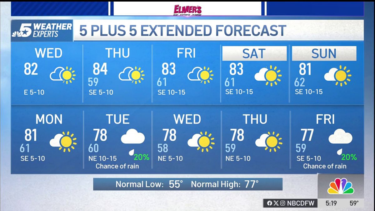 NBC 5 Forecast: A quiet weather pattern continues for North Texas
NBC 5 Dallas-Fort Worth NBC 5 Forecast: A quiet weather pattern continues for North Texas
-
 Storms, flooding possible in parts of Texas. Here's where
The National Weather Service Amarillo says a slight risk for excessive rainfall and flooding is possible on Friday and Saturday, October 23-24, 2026. If you feel like you need a break from all the ups and downs of Texas…
-
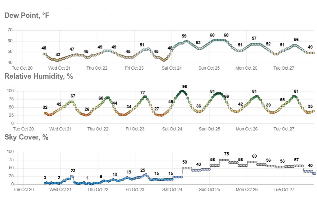 Sunny and dry in Texas, but wild weather across U.S. hits both coasts
Temperatures in Austin will climb to just a few degrees above our mid-October average of 82 degrees. Early-rising Texans might notice temperatures beginning to warm up over the next few mornings. Predawn temps will…
-
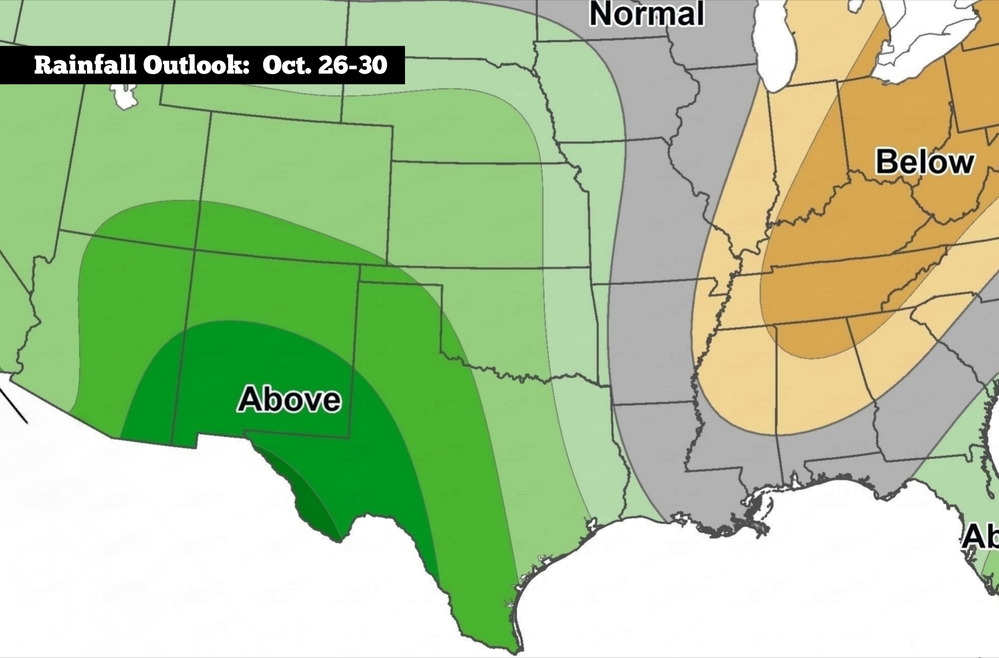 Nice weather for South Texas, but here’s when to expect changes
The Climate Prediction Center’s long-range precipitation outlook shows that Texas is favored to see above-average rainfall during the week of Oct. 26-30. After last week’s cold front, the weather across South Texas has…
-
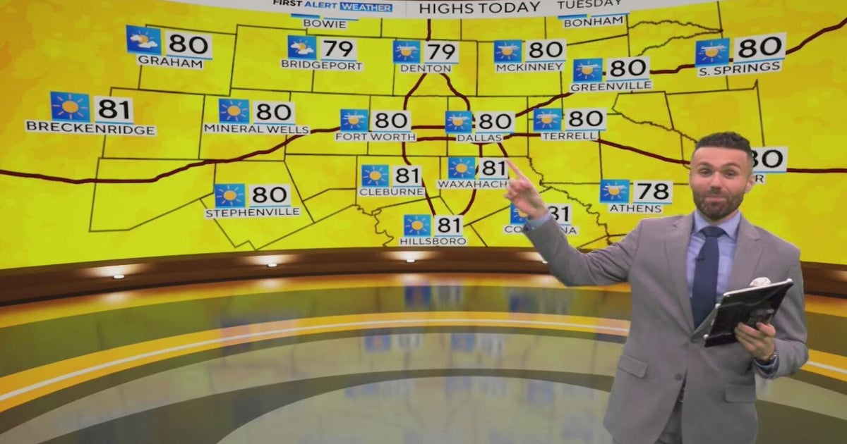 Great weather in North Texas this week
CBS News Baltimore 8am CBS News Boston 8am CBS News Chicago 7am CBS News Colorado This Morning 6am CBS News Los Angeles Mornings 5am CBS News Miami 8am CBS News New York 8am CBS News Texas 7am
-
 When will fall foliage peak across Texas? Here’s a timeline.
Maple trees are turning colors at Lost Maples State Nature Area near Vanderpool. The park is a popular destination in the fall, and reservations are recommended. Fall weather finally arrived across all of Texas last…
-
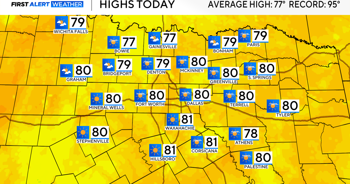 Temperatures climb into 80s as rain chances remain slim across North Texas
Updated on: October 20, 2026 / 7:28 AM CDT / CBS Texas It's another crisp fall morning, Tuesday, with temperatures in the 40s and 50s across North Texas. Have the light jacket handy and grab your sunglasses for the…
-
 Partly Cloudy, no rain expected Tuesday in Southeast Texas
NewsBreak: Local News & Alerts Partly Cloudy, no rain expected Tuesday in Southeast Texas You may also like
-
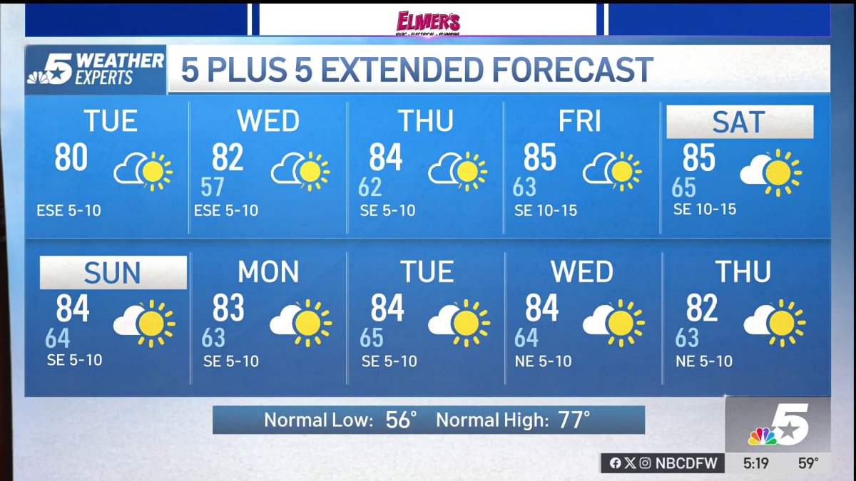 NBC 5 Forecast: A quiet weather pattern for North Texas
NBC 5 Dallas-Fort Worth NBC 5 Forecast: A quiet weather pattern for North Texas
Air quality
Acceptable. Unusually sensitive people should consider limiting prolonged outdoor exertion.
Forecast
- WedModerate
- ThuUnhealthy for Sensitive Groups Action day
- FriUnhealthy for Sensitive Groups
Houston-Galveston-Brazoria, TX reporting area · 1 hr ago. Data from AirNow (EPA and its state, local and tribal partners); preliminary and subject to change.
Sun & moon
Almanac
MonthlyDayton Texas, records since 2003. Normals 1991–2020. Data from NOAA's Regional Climate Centers (ACIS).
Nearby
- Houston 54 km
- Pasadena 48 km
- League City 60 km
- Baytown 32 km
- Spring 52 km
- Channelview 35 km
- La Porte 41 km
- Deer Park 41 km
- New Caney 36 km
- South Houston 52 km
- Humble 37 km
- Seabrook 52 km
Forecasters' discussion
From the National Weather Service office in HGX, issued 5 hrs ago
Key Messages
- Warm and dry conditions expected through early next week.
- Elevated fire weather conditions are possible during the second half of the week.
- Potential change to a wetter pattern by the end of the month.
Discussion
Issued at 1215 PM CDT Wed Oct 21 2026
A coastal trough to our south continues to enhance winds and seas over the Gulf, though not as much as yesterday. LL moisture associated with the system has increased cloud cover in our coastal and southern zones, which may keep temperatures a little cooler this afternoon than we original bargained for in those areas. But generally speaking, we expect most locations to reach the lower to mid 80s. We suspect persistent ridging aloft will keep the weather dry and somewhat warmer than normal through early next week. Highs are expected to average in the low/mid 80s with overnight temperatures dropping into the 50s and 60s. One little wild card will be the strong sfc high that should drift southward from E Canada into E CONUS. We could get a little backdoor front that pushes temperatures downward a few degrees on Sunday and Monday. Also worth mentioning is the low RH values expected Thursday and Friday. Inland values are expected to bottom out in the 25-30% range. These values and light winds should technically keep us out of Red Flag Warning territory. But these very dry conditions warrant a situational awareness of the somewhat elevated fire risk, especially north of I-10.
There continues to be long range ensemble and teleconnection signals of a pattern change around Halloween. These signals are pretty mixed regarding temperature trends. But the signals are moderately strong for a switch to a wetter pattern. One of the signals is the ongoing strong El Nino, which tends to support an active subtropical jet as we head into the colder months. In fact, a quick look at WV imagery shows that we already have a pretty strong subtropical jet that's pushing deep moisture into SW CONUS. Long range guidance (ensembles, deterministic, AI, and non-AI) all suggest a strengthening and potentially amplified subtropical jet pushing in central CONUS by the end of the month or beginning of November. The same data is also suggesting above average rainfall late October - early November. In addition, the MJO is likely to amplify in phases 2 and 3 in 10-20 days, which composites show supporting a wet pattern across SW CONUS and TX (though SE TX is kinda at the eastern edge of the wet anomalies). The MJO signals a potential cool down during this period. But the current long range guidance actually skews a little warmer than normal. ECMWF ensembles (both AI and non- AI) are particularly impressive regarding moisture, with a strong plurality of members showing PWATs over 2 inches around the beginning the November.
So how should we interpret this long range data? First, forecast confidence is always lower in the long range. A lot could change over the next few days, and nothing is set in stone. But second, there is an increasing signal for a stormier pattern starting in about 7-9 days. So I'm comfortable in saying that the odds favor a switch to a wetter pattern. Third, I'm less confident in temperatures. The official Climate Prediction Center forecast during this time frame features a higher chance of above normal rainfall and above normal temperatures.
Self
Aviation
(00Z TAF Issuance) Issued at 545 PM CDT Wed Oct 21 2026
VFR conditions across the area will continue to prevail for another TAF cycle. Winds will relax to LGT and VRB for the overnight hrs. Tomorrow, late-morning winds return to around 5-10kts out of the NE before, the terminals south of 1-10, shift to ESE in the afternoon.
CMW
Marine
Issued at 1215 PM CDT Wed Oct 21 2026
We continue to experience some enhanced E to ENE winds and elevated seas today. However, conditions have significantly improved since yesterday. We expect light to moderate winds averaging from the east through Friday. By the weekend, a stronger easterly fetch is expected to develop across the Gulf. Conditions could reach Small Craft Advisory level by late Saturday or Sunday in the offshore Gulf. The long fetch could make seas the primary hazard. Our forecast is showing offshore seas reaching 6 feet late Sunday into Monday. But considering the potential size of the fetch, the current forecast may be a bit conservative. We cannot rule out offshore seas reaching 8 feet. The fetch is expected to taper by Tuesday, which should bring down seas.
Forecasts, observations and alerts in the United States come from the National Weather Service (NOAA); radar from NOAA's Multi-Radar Multi-Sensor system; satellite imagery from NASA's Global Imagery Browse Services (GIBS) and NOAA's GOES satellites; the map from the U.S. Geological Survey's National Map; air quality from AirNow (EPA and its partners); hurricane information from the National Hurricane Center; climate normals and records from NOAA's Regional Climate Centers (ACIS). Forecasts outside the United States and the UV index: MET Norway (CC BY 4.0); observations outside the U.S.: airport reports via NOAA's Aviation Weather Center. Place names: GeoNames (CC BY 4.0). Data are copied on a schedule and may lag the sources; for warnings that affect your safety, follow your local National Weather Service office and emergency officials. Weather news is drawn from the 4Search index and reflects what the press published. Terms of use.