Install
Omaha, NE 68176 Weather
Current conditions
Observed at Omaha - Eppley Airfield · 41 min ago
Forecast
10-day-
This Afternoon
Sunny, with a high near 72. South southeast wind around 8 mph.
-
Tonight
Partly cloudy, with a low around 52. South southeast wind around 6 mph.
-
Wednesday
Sunny, with a high near 77. South wind around 3 mph.
National Weather Service forecast updated 1 hr ago.
Hourly
Hourly forecast- Now71°
- 4 PM72°
- 5 PM71°
- 6 PM69°
- 7 PM64°
- 8 PM61°
- 9 PM59°
- 10 PM58°
- 11 PM57°
- Wed12 AM56°
- 1 AM56°
- 2 AM55°
- 3 AM54°
- 4 AM54°10%
- 5 AM53°
- 6 AM53°
- 7 AM52°
- 8 AM52°
- 9 AM54°
- 10 AM59°
- 11 AM65°
- 12 PM68°
- 1 PM71°
- 2 PM75°
10-day forecast
Details- TodayOct 20Sunny10%52°72°
- WedOct 21Sunny51°77°
- ThuOct 22Sunny55°79°
- FriOct 23Mostly Sunny61°78°
- SatOct 24Partly Sunny then Slight Chance Rain Showers25%53°76°
- SunOct 25Chance Rain Showers42%48°64°
- MonOct 26Chance Rain Showers42%45°59°
- TueOct 27Light rain0.03 in46°49°
- WedOct 28Cloudy44°56°
- ThuOct 29Sunny38°53°
Days after the National Weather Service's seven are MET Norway's outlook, a computer model with no forecaster's review.
Radar
Full mapWeather news near Omaha
More weather news-
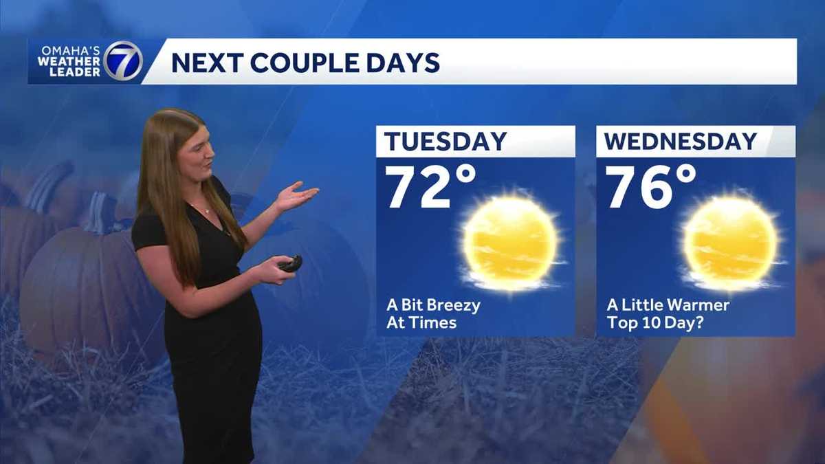 Omaha enjoys another stretch of comfortable fall weather
Plenty of sunshine Tuesday with highs in the 70s before temperatures climb a little Wednesday. The quiet stretch continues for now, but rain chances return toward the end of the week and into the weekend. With a…
-
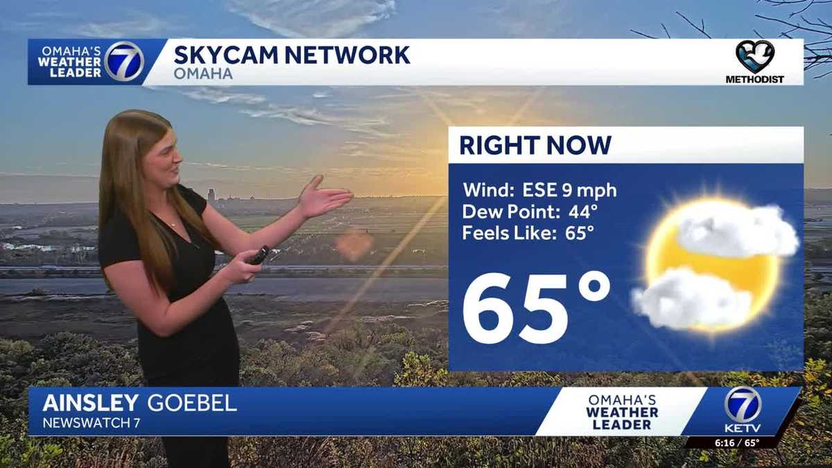 Drier weather continues with a gradual warmup across Omaha
Quiet weather continues across Omaha to start the week, with highs in the low 70s. Rain chances remain low for now, making for a quiet stretch of fall weather across the metro. With a combined 50 years covering weather…
-
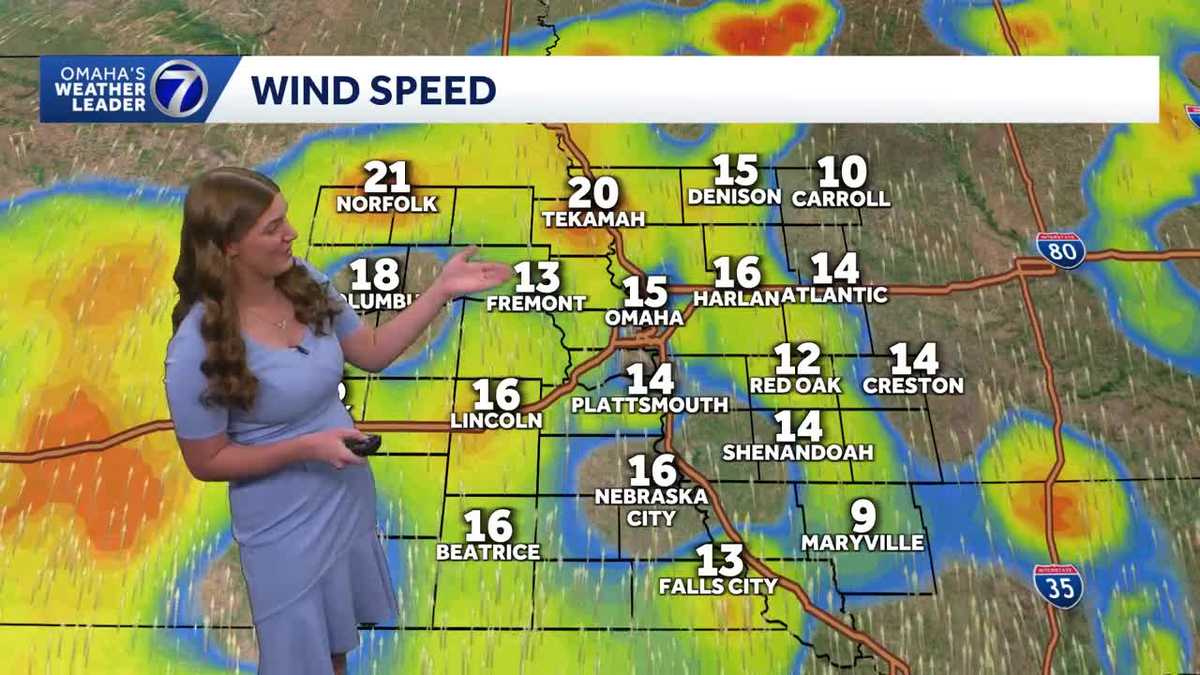 Cool mornings and mild afternoons continue across Omaha
Mild temperatures continue into the start of the week, with highs in the upper 60s and low 70s. Temperatures gradually warm through the second half of the week, with highs reaching the upper 70s. Dry weather is expected…
-
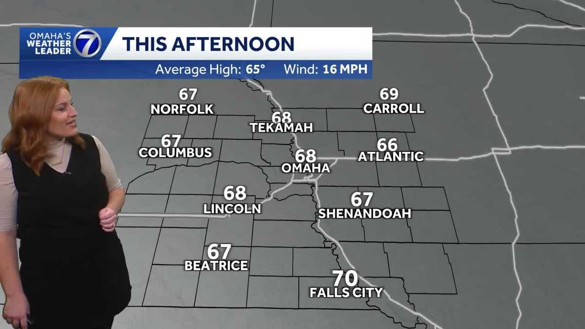 Bright, breezy and mild Sunday afternoon for Omaha area
Bright sunshine and breezy winds to round out the weekend with temperatures set to warm by the end of the upcoming week. With a combined 50 years covering weather in Nebraska and Iowa, KETV NewsWatch 7 is Omaha’s…
-
 Above average temperatures for much of the work week before rain chances return next weekend
KSNB Friday Through The Weekend: Temperatures stay in the upper 70’s to low 80’s Friday afternoon. Strong winds around 20 to 30 mph are expected with gusts up to 40 mph are possible. A cold front is expected to move…
-
 Carmelo’s First Alert 6 Forecast: Gradual warming trend this week
OMAHA, Neb. (WOWT) - After Saturday mornings freezing temperatures, warmer conditions are taking over for the week ahead. Highs will gradually climb from the upper 60s Monday to right around 80 degrees by Friday — a…
-
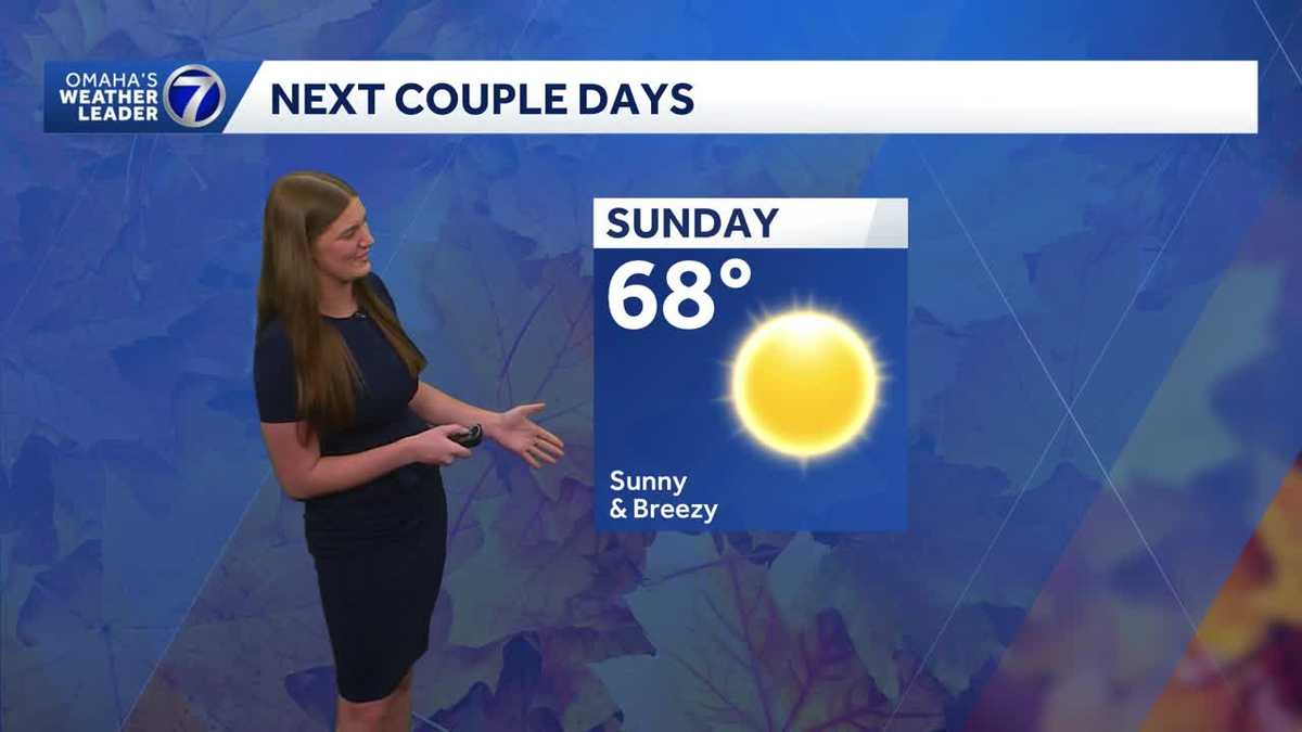 Omaha enjoys a stretch of mild fall weather
Mild and comfortable fall weather is sticking around Omaha, with temperatures staying seasonable for this time of year. Expect a mix of sunshine and clouds, with a light breeze at times. Temperatures remain fairly…
-
 Another chilly night, but a warm up is on the way for Omaha
3 Things to Know After our first frost/freeze of the season, the afternoon high recovered across the Omaha area, reaching the low 60s. Overnight, we get chilly again, but stay above the frost threshhold, dropping to…
-
 Jaret’s First Alert 6 Forecast - Warm and mostly dry weather taking over
OMAHA, Neb. (WOWT) - Sunshine will be overhead once again as our Sunday goes on. This will combine with gusty south winds to drive temperatures upward. After peaking in the low 60s for a high Saturday, we’ll peak near…
- Omaha Shivers Under Freeze Warning Before 70-Degree Heat Wave Hits
The National Weather Service Omaha/Valley says colder parts of the warning area could drop as low as 29 degrees. In Omaha, the forecast low sits near 34, with areas of frost expected before 9 a.m. Residents should cover…
Air quality
Air quality is satisfactory, and air pollution poses little or no risk.
Forecast
- TueGood (44)
- WedGood (44)
Omaha, NE reporting area · 1 hr ago. Data from AirNow (EPA and its state, local and tribal partners); preliminary and subject to change.
Sun & moon
Almanac
MonthlyOmaha Eppley Airfield, records since 1935. Normals 1991–2020. Data from NOAA's Regional Climate Centers (ACIS).
Nearby
- Council Bluffs 6 km
- Bellevue 14 km
- Fremont 51 km
- Papillion 15 km
- La Vista 11 km
- Chalco 20 km
- Elkhorn 28 km
- Blair 35 km
- Hillsborough 17 km
- Plattsmouth 28 km
- Ralston 11 km
- Glenwood 29 km
Forecasters' discussion
From the National Weather Service office in OAX, issued 9 hrs ago
Key Messages
- Warmer temperatures mainly in the 70s return this week.
- Outside of a few light showers Tuesday night, dry conditions will continue, with our next chance of rain not expected until Saturday and Sunday.
- Strong south winds gusting to 30-40 mph arrive Friday, increasing fire danger for areas with standing crops.
Discussion
Issued at 1029 PM CDT Mon Oct 19 2026
Outside of passing high clouds associated with a shortwave north of the area this evening, the weather remains quiet and dry. Skies clear out tonight helping temperatures to cool down into the 40s by Tuesday morning. Mostly sunny skies start the day as upper-level ridging begins to build across the Great Plains. Afternoon temperatures should approach the upper 60s and low 70s ahead of our next disturbance. Another shortwave trough will lift north from the southern Rockies late Tuesday afternoon. Increasing clouds are anticipated Tuesday evening in response. A few showers may develop over portions of northern Kansas and southeastern Nebraska with the passage of this trough. These showers will struggle to produce much if any rainfall as a dry sub-cloud layer should prevent much of the precipitation from reaching the ground. Increased cloud cover helps to keep overnight temperatures a touch warmer with Wednesday morning lows in the upper 40s and low 50s.
Wednesday afternoon through Friday morning turns back to warm, dry, and quiet weather as large-scale ridging sets up across the central CONUS. Other than scattered high clouds at times, mostly sunny skies and light winds are anticipated. Afternoon temperatures climb well into the 70s with overnight low temperatures mostly in the 50s. The quiet weather comes to an end by Friday afternoon as our next weather system enters the picture.
Friday afternoon remains warm, but a deep trough over the Southwest begins to eject northeast across the Great Plains during this time. In response, lee troughing commences to the west of the region and the surface pressure gradient tightens. Strong south winds overspread the area as a result with peak gusts of 30 to 40 mph possible. This will pose increased fire danger concerns with dry standing crops waiting to be harvested. That being said, increasing relative humidity as moisture returns to the area may help to limit these concerns. With the strong southerly winds, temperatures remain well into the 70s.
As the aforementioned trough lifts northeast, a cold front swings across the region on Saturday. Our next chance of rain accompanies this front as well. Currently, Saturday afternoon sees the cold front bisect the region by afternoon. Cooler temperatures in the 60s are expected behind the front over northeast Nebraska with warmer temperatures in the 70s across southeast Nebraska and southwest Iowa. Our highest rain chances will be during this time. Most locations have a 40-70% chance of showers and with perhaps an isolated rumble of thunder.
Temperatures turn cooler on Sunday as the front mostly clears the region with 60s back in the forecast. A least a low chance (20-40%) of showers remains in the forecast as the trough moves overhead. The cooler weather continues into next week with additional rain chances possible with a more unsettled pattern appearing likely. The exact details differ between forecast models, but these details should become clearer as the week progresses.
Aviation
Issued at 545 AM CDT Tue Oct 20 2026
VFR conditions favored through the period with a few clouds around 5000-7000 ft this afternoon and evening. Said clouds could also bring some light showers, but given expected spotty nature and latest guidance having highest chances south of LNK, not including mention (20% chance of seeing anything). Otherwise, winds will remain southeasterly to southerly, with a few gusts around 18-20 kts this afternoon.
Oax Watches
NE...None. IA...None.
Forecasts, observations and alerts in the United States come from the National Weather Service (NOAA); radar from NOAA's Multi-Radar Multi-Sensor system; satellite imagery from NASA's Global Imagery Browse Services (GIBS) and NOAA's GOES satellites; the map from the U.S. Geological Survey's National Map; air quality from AirNow (EPA and its partners); hurricane information from the National Hurricane Center; climate normals and records from NOAA's Regional Climate Centers (ACIS). Forecasts outside the United States and the UV index: MET Norway (CC BY 4.0); observations outside the U.S.: airport reports via NOAA's Aviation Weather Center. Place names: GeoNames (CC BY 4.0). Data are copied on a schedule and may lag the sources; for warnings that affect your safety, follow your local National Weather Service office and emergency officials. Weather news is drawn from the 4Search index and reflects what the press published. Terms of use.