Install
Blair, NE Weather
Current conditions
Forecast for this hour (no station report in the last two hours)
Forecast
10-day-
Friday Night
Mostly cloudy, with a low around 62. South wind around 16 mph, with gusts as high as 29 mph.
-
Saturday
A chance of rain showers after 7am. Partly sunny, with a high near 73. South southwest wind 7 to 15 mph, with gusts as high as 24 mph.
-
Saturday Night
A chance of rain showers. Mostly cloudy, with a low around 52. Northwest wind around 7 mph.
National Weather Service forecast updated 2 days ago.
Hourly
Hourly forecast- Now66°
- 10 PM65°
- 11 PM65°
- Sat12 AM64°
- 1 AM64°
- 2 AM64°
- 3 AM63°
- 4 AM63°
- 5 AM63°
- 6 AM62°
- 7 AM62°17%
- 8 AM62°17%
- 9 AM63°17%
- 10 AM64°17%
- 11 AM66°17%
- 12 PM69°17%
- 1 PM71°26%
- 2 PM72°26%
- 3 PM73°26%
- 4 PM72°26%
- 5 PM70°26%
- 6 PM68°26%
- 7 PM65°39%
- 8 PM62°39%
10-day forecast
Details- TonightOct 20Partly Cloudy51°
- WedOct 21Sunny50°76°
- ThuOct 22Sunny56°77°
- TodayOct 23Mostly Sunny62°76°
- SatOct 24Chance Rain Showers39%52°73°
- SunOct 25Chance Rain Showers42%47°62°
- MonOct 26Chance Rain Showers42%43°57°
- TueOct 27Slight Chance Rain Showers16%57°
- WedOct 28Sunny32°51°
- ThuOct 29Mostly sunny36°58°
Days after the National Weather Service's seven are MET Norway's outlook, a computer model with no forecaster's review.
Radar
Full mapWeather news near Blair
More weather news-
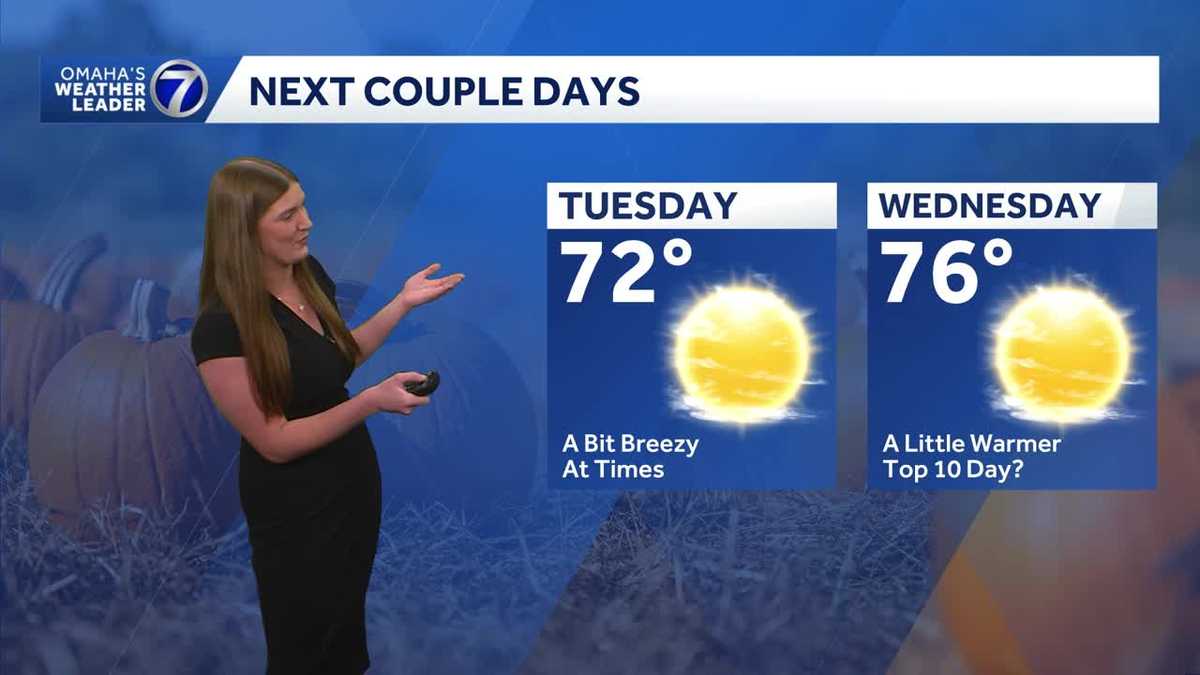 Omaha enjoys another stretch of comfortable fall weather
Plenty of sunshine Tuesday with highs in the 70s before temperatures climb a little Wednesday. The quiet stretch continues for now, but rain chances return toward the end of the week and into the weekend. With a…
-
 Drier weather continues with a gradual warmup across Omaha
Quiet weather continues across Omaha to start the week, with highs in the low 70s. Rain chances remain low for now, making for a quiet stretch of fall weather across the metro. With a combined 50 years covering weather…
-
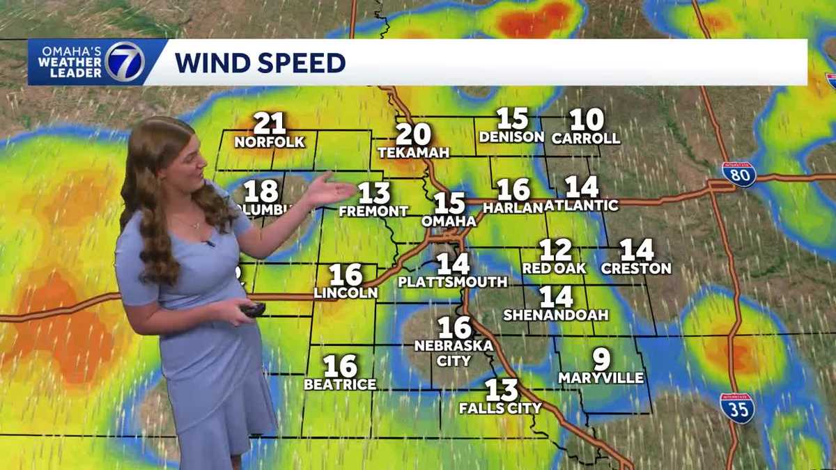 Cool mornings and mild afternoons continue across Omaha
Mild temperatures continue into the start of the week, with highs in the upper 60s and low 70s. Temperatures gradually warm through the second half of the week, with highs reaching the upper 70s. Dry weather is expected…
-
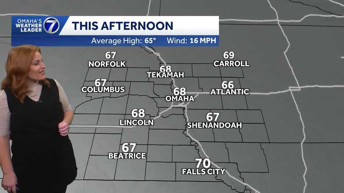 Bright, breezy and mild Sunday afternoon for Omaha area
Bright sunshine and breezy winds to round out the weekend with temperatures set to warm by the end of the upcoming week. With a combined 50 years covering weather in Nebraska and Iowa, KETV NewsWatch 7 is Omaha’s…
-
 Above average temperatures for much of the work week before rain chances return next weekend
KSNB Friday Through The Weekend: Temperatures stay in the upper 70’s to low 80’s Friday afternoon. Strong winds around 20 to 30 mph are expected with gusts up to 40 mph are possible. A cold front is expected to move…
-
 Omaha enjoys a stretch of mild fall weather
Mild and comfortable fall weather is sticking around Omaha, with temperatures staying seasonable for this time of year. Expect a mix of sunshine and clouds, with a light breeze at times. Temperatures remain fairly…
-
 Carmelo’s First Alert 6 Forecast: Gradual warming trend this week
OMAHA, Neb. (WOWT) - After Saturday mornings freezing temperatures, warmer conditions are taking over for the week ahead. Highs will gradually climb from the upper 60s Monday to right around 80 degrees by Friday — a…
-
 Another chilly night, but a warm up is on the way for Omaha
3 Things to Know After our first frost/freeze of the season, the afternoon high recovered across the Omaha area, reaching the low 60s. Overnight, we get chilly again, but stay above the frost threshhold, dropping to…
-
 Jaret’s First Alert 6 Forecast - Warm and mostly dry weather taking over
OMAHA, Neb. (WOWT) - Sunshine will be overhead once again as our Sunday goes on. This will combine with gusty south winds to drive temperatures upward. After peaking in the low 60s for a high Saturday, we’ll peak near…
- Omaha Shivers Under Freeze Warning Before 70-Degree Heat Wave Hits
The National Weather Service Omaha/Valley says colder parts of the warning area could drop as low as 29 degrees. In Omaha, the forecast low sits near 34, with areas of frost expected before 9 a.m. Residents should cover…
Air quality
Acceptable. Unusually sensitive people should consider limiting prolonged outdoor exertion.
Forecast
- FriGood (50)
- SatGood (50)
- SunGood (39)
Omaha, NE reporting area · 1 hr ago. Data from AirNow (EPA and its state, local and tribal partners); preliminary and subject to change.
Sun & moon
Almanac
MonthlyLogan 1 Wnw, records since 1893. Normals 1991–2020. Data from NOAA's Regional Climate Centers (ACIS).
Nearby
- Omaha 36 km
- Council Bluffs 38 km
- Bellevue 49 km
- Fremont 33 km
- Papillion 44 km
- La Vista 41 km
- Chalco 40 km
- Elkhorn 25 km
- Hillsborough 27 km
- Ralston 38 km
- Gretna 46 km
- Offutt Air Force Base 50 km
Forecasters' discussion
From the National Weather Service office in OAX, issued 7 hrs ago
Key Messages
- Winds gusting to around 40-45 mph this afternoon may result in isolated areas of high fire danger in northeast Nebraska, particularly across cropland areas.
- Expect another warm day today with highs in the upper 70s and low 80s.
- Shower and storm chances increase this weekend into next week (60-80%). Temperatures cool Sunday onward with highs reaching the 50s and 60s by Tuesday.
Short Term
18z RAP objective analysis depicts the H5 longwave trof over the western CONUS. Ahead of the wave, a shortwave and vort max is seen tracking toward the Panhandle/Dakotas area. Weak forcing from the feature should help increase cloud coverage this afternoon and evening. The longwave has already induced sfc cyclogenesis with the 998mb low centered over eastern Montana. As sfc high pressure remains firmly in place over the eastern CONUS, this sill places most of the Northern Plains and mid-Missouri River Valley area under a tight pressure gradient. Expect gusty southerly winds of 40 to 45 mph, particularly across northeast Nebraska while slightly lower speeds of 30 to 35 mph are expected for the remainder of the area. An H8 40 to 50 kt LLJ will overspread most of central and northeast Nebraska too, but approaching cloud cover could hamper how deep we're able to mix. Highs warm to the upper 70s to low 80s.
There is also some continued risk for fire danger over northeast Nebraska, primarily across remaining cropland areas which have had time to cure. How much we are able to dry/mix out will be dependent on the amount of cloud cover we see. Our current forecast shows minimum RH reaching the 35 to 45% range in northeast Nebraska where the strongest winds are, while the lowest RH remains over southeast Nebraska at 30 to 35%. Those working with farm equipment in cropland areas should remain aware of potential fire development and spread.
Late tonight into Saturday morning, a portion of the H5 longwave will break off and eject toward the North Dakota/Manitoba area. While the best forcing for ascent/height falls will be well north of the area, should still see some convergence along the approaching sfc front work with a stream of Gulf moisture to generate some scattered showers and perhaps a few storms, although instability will be somewhat limited at 100-200 J/kg. Have kept PoPs of 30 to 50% for northeast Nebraska from 06z to 14z Saturday.
Should see a brief reprieve from shower activity until around the noon hour as another H5 impulse approaches the forecast area from the southwest. Combined with the approaching front, should see more showers and storms develop, again across northeast Nebraska (50-70%) and lasting through the overnight hours. Highs will be a function of the frontal location, and will range from the 60s in northeast Nebraska to near 80 in our far southeast.
.LONG TERM /SUNDAY THROUGH THURSDAY/...
Sunday into Monday will see the remnants of the H5 longwave trof eject from the Four Corners area northeast toward the Central Plains. Increased mid-level forcing for ascent combined with southerly to southwesterly flow bringing in a stream of moisture should lead to more showers and storms. Northeast Nebraska looks to hit the jackpot, with 60 to 80% PoPs progged for most of Sunday and Monday. 13z NBM probabilities suggest areas along and west of a line from Columbus to Norfolk with a 50 to 70% chance at seeing an inch or more of rain by Monday evening. Probabilities for even a quarter of an inch taper off sharply with eastward extent, as Omaha and Lincoln see anywhere from a 20 to 30% chance for a quarter inch of rain.
Aviation
Issued at 1244 PM CDT Fri Oct 23 2026
VFR conditions prevail at all TAF sites for the duration of the cycle. Mid to high based cloud cover will gradually increase over the next few hours. Gusty 30 kt southerly winds remain in place this afternoon, but should decrease in speed at most sites late tonight into tomorrow morning, lingering a little longer at KOFK. Winds then turn northwesterly behind an approaching front toward the end of the TAF period. Low level wind shear overspreads terminals this evening, lasting through 13-14z. Models suggest a band of showers moving toward KOFK closer to 12z, but chances that the terminal will be impacted are less than 30%.
Oax Watches
NE...None. IA...None.
Forecasts, observations and alerts in the United States come from the National Weather Service (NOAA); radar from NOAA's Multi-Radar Multi-Sensor system; satellite imagery from NASA's Global Imagery Browse Services (GIBS) and NOAA's GOES satellites; the map from the U.S. Geological Survey's National Map; air quality from AirNow (EPA and its partners); hurricane information from the National Hurricane Center; climate normals and records from NOAA's Regional Climate Centers (ACIS). Forecasts outside the United States and the UV index: MET Norway (CC BY 4.0); observations outside the U.S.: airport reports via NOAA's Aviation Weather Center. Place names: GeoNames (CC BY 4.0). Data are copied on a schedule and may lag the sources; for warnings that affect your safety, follow your local National Weather Service office and emergency officials. Weather news is drawn from the 4Search index and reflects what the press published. Terms of use.