Install
Marysville, KS 66508 Weather
Current conditions
Forecast for this hour (no station report in the last two hours)
Forecast
10-day-
Sunday
Partly sunny, with a high near 78. East wind 0 to 5 mph.
-
Sunday Night
Mostly cloudy, with a low around 56. Southeast wind 0 to 5 mph.
-
Monday
Partly sunny, with a high near 76. South wind 0 to 10 mph.
National Weather Service forecast updated 6 hrs ago.
Hourly
Hourly forecast- Now56°
- 9 AM58°
- 10 AM64°
- 11 AM69°
- 12 PM72°
- 1 PM75°
- 2 PM77°
- 3 PM77°
- 4 PM77°
- 5 PM78°
- 6 PM75°
- 7 PM72°
- 8 PM68°
- 9 PM64°
- 10 PM63°
- 11 PM62°
- Mon12 AM61°
- 1 AM61°
- 2 AM60°
- 3 AM59°
- 4 AM58°
- 5 AM57°
- 6 AM57°
- 7 AM57°
Daily forecast
Details- TonightOct 24Mostly Cloudy56°
- TodayOct 25Partly Sunny56°78°
- MonOct 26Partly Sunny11%55°76°
- TueOct 27Chance Rain Showers37%55°72°
- WedOct 28Mostly Sunny32%57°77°
- ThuOct 29Chance Showers And Thunderstorms then Mostly Sunny32%60°78°
- FriOct 30Chance Showers And Thunderstorms34%57°77°
- SatOct 31Rain Showers Likely57%72°
Radar
Full mapWeather news in Kansas
More weather news-
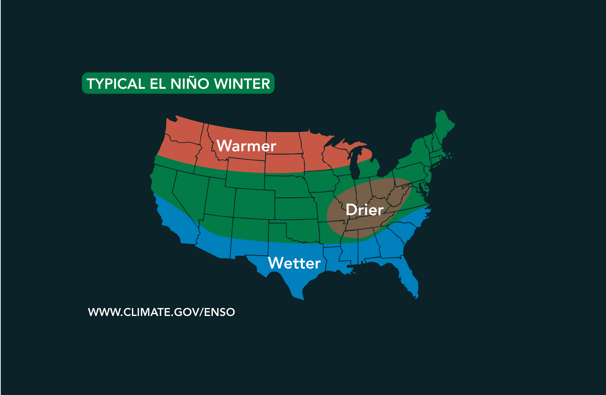 Potential El Niño to affect Kansas agriculture
Student critically injured after falling 70 feet in effort to avoid incoming vehicle • 2338 views College of Arts and Sciences to face future budget cuts • 2090 views K-State President Richard Linton to leave Wildcats…
-
 #Drought news October 22, 2026: Improvements occurred across portions of #Kansas, #Nebraska, #Colorado, #Wyoming, #Utah, #Arizona and #NewMexico
Drought news October 22, 2026: Improvements occurred across portions of #Kansas, #Nebraska, #Colorado, #Wyoming, #Utah, #Arizona and #NewMexico coyotegulch.blog Click on a thumbnail graphic to view a gallery of drought…
-
 30 years since ‘October Surprise’ snowstorm hit Kansas City
KANSAS CITY, Mo. -- The thought of snow this October seems far away with the first part of the month still feeling like summer with temperatures reaching 90 degrees and severe weather last week. Thursday marks 30 years…
-
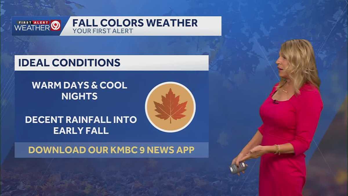 More sunny and warm weather in Kansas City
Wed: rain is falling from clouds this morning but only a few sprinkles will make it through the dry air. Clouds will clear this afternoon. High 75. Thu-Sun: Lows 50’s, Highs upper 70’s. Light South breeze under 10 mph…
-
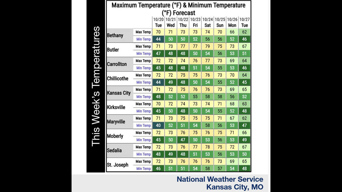 Kansas City’s warm, mostly dry stretch lasts through Sunday. What comes next?
Fall temperatures are climbing in Kansas City again Tuesday, with warmer-than-normal weather expected through the weekend, the National Weather Service says. Skies will become increasingly cloudy as metro temperatures…
-
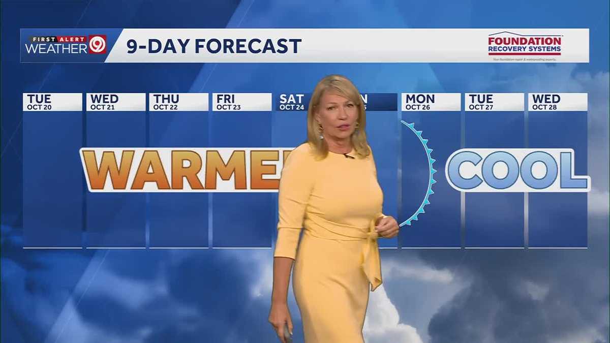 Warming trend continues for Kansas City
You may encounter a stray sprinkle but otherwise, we continue a warming trend KMBC Tuesday: mix sun and clouds. High 70, wind: S 5-10 mph Wed: Partly cloudy 51/73 Wind: S 5 mph Thu: Mostly sunny: 52/75 wind: SSE 5-10 mph
-
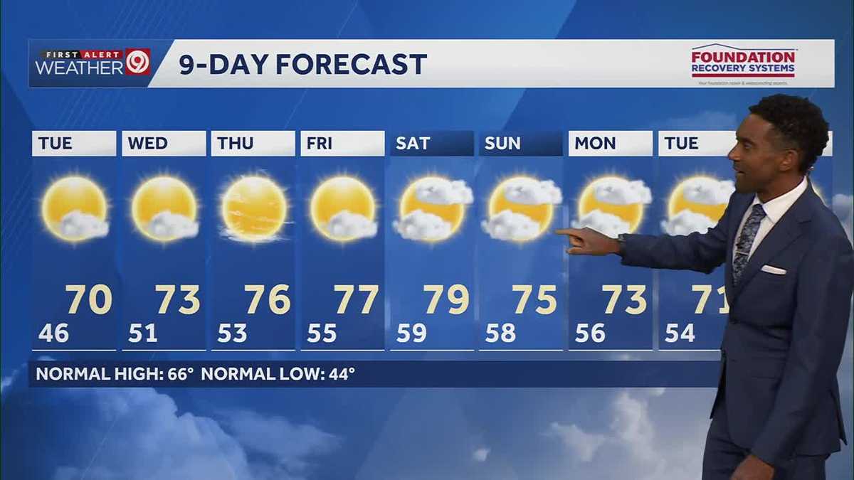 After a cool few days, warmer temperatures return starting Tuesday in Kansas City
After some cool and comfortable fall temperatures, things start to warm up once again for the rest of the week! Expect sunshine and dry conditions for the next few days. Tuesday will be partly cloudy with highs in the…
-
 KSHB 41 Weather | Sunshine and highs in the 60s Sunday in Kansas City
KSHB 41 Weather | Sunshine and highs in the 60s Sunday KSHB 41 Kansas City KSHB 41 Weather | Sunshine and highs in the 60s Sunday in Kansas City KANSAS CITY, Mo. — Hosting an event or gathering? Send your weather…
Air quality
Air quality is satisfactory, and air pollution poses little or no risk.
Beatrice, NE reporting area · 2 hrs ago. Data from AirNow (EPA and its state, local and tribal partners); preliminary and subject to change.
Sun & moon
Almanac
MonthlyMarysville, records since 1950. Normals 1991–2020. Data from NOAA's Regional Climate Centers (ACIS).
Nearby
Forecasts, observations and alerts in the United States come from the National Weather Service (NOAA); radar from NOAA's Multi-Radar Multi-Sensor system; satellite imagery from NASA's Global Imagery Browse Services (GIBS) and NOAA's GOES satellites; the map from the U.S. Geological Survey's National Map; air quality from AirNow (EPA and its partners); hurricane information from the National Hurricane Center; climate normals and records from NOAA's Regional Climate Centers (ACIS). Forecasts outside the United States and the UV index: MET Norway (CC BY 4.0); observations outside the U.S.: airport reports via NOAA's Aviation Weather Center. Place names: GeoNames (CC BY 4.0). Data are copied on a schedule and may lag the sources; for warnings that affect your safety, follow your local National Weather Service office and emergency officials. Weather news is drawn from the 4Search index and reflects what the press published. Terms of use. How to use Weather