Install
Northbrook, IL 60065 Weather
Current conditions
Observed at Chicago / Wheeling, Pal-Waukee Airport · 19 min ago
Forecast
10-day-
Today
Areas of fog before 9am. Sunny. High near 66, with temperatures falling to around 63 in the afternoon. East wind 0 to 10 mph.
-
Tonight
Areas of fog after 4am. Partly cloudy, with a low around 45. Southeast wind 0 to 5 mph.
-
Wednesday
Areas of fog before 8am. Mostly sunny. High near 71, with temperatures falling to around 67 in the afternoon. South southwest wind 0 to 5 mph.
National Weather Service forecast updated 9 hrs ago.
Hourly
Hourly forecast- Now66°
- 4 PM65°
- 5 PM63°
- 6 PM60°
- 7 PM56°
- 8 PM55°
- 9 PM54°
- 10 PM53°
- 11 PM52°
- Wed12 AM51°
- 1 AM50°
- 2 AM49°
- 3 AM48°
- 4 AM47°
- 5 AM46°
- 6 AM45°
- 7 AM45°
- 8 AM47°
- 9 AM53°
- 10 AM58°
- 11 AM62°
- 12 PM66°
- 1 PM68°
- 2 PM69°
10-day forecast
Details- TodayOct 20Areas Of Fog then Sunny45°66°
- WedOct 21Areas Of Fog then Mostly Sunny49°71°
- ThuOct 22Sunny51°68°
- FriOct 23Sunny49°65°
- SatOct 24Mostly Sunny52°66°
- SunOct 25Partly Sunny50°69°
- MonOct 26Partly Sunny16%47°64°
- TueOct 27Cloudy45°54°
- WedOct 28Cloudy44°52°
- ThuOct 29Sunny42°54°
Days after the National Weather Service's seven are MET Norway's outlook, a computer model with no forecaster's review.
Radar
Full mapWeather news near Northbrook
More weather news-
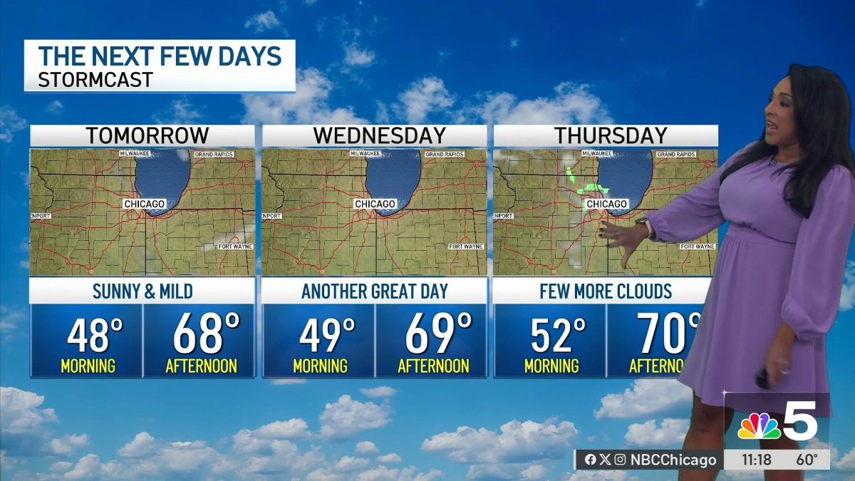 Monday afternoon forecast for Chicago area
NBC 5 Chicago Monday afternoon forecast for Chicago area
-
 Chicago weather: Unseasonably warm temperatures stick around all week
Emily Wahls has your weather update! CHICAGO - It was another day with above normal temperatures and plenty of sunshine. Monday's high temperatures soared into the upper 60s to near 70 degrees. Tonight will be mostly…
-
 Chicago weather: Above-normal temps expected through October
Mike Caplan has your Chicago weather update! CHICAGO - It’s smooth sailing weather-wise this week and likely for the rest of the month. There will be little if any cloud cover and temperatures will be well above normal…
-
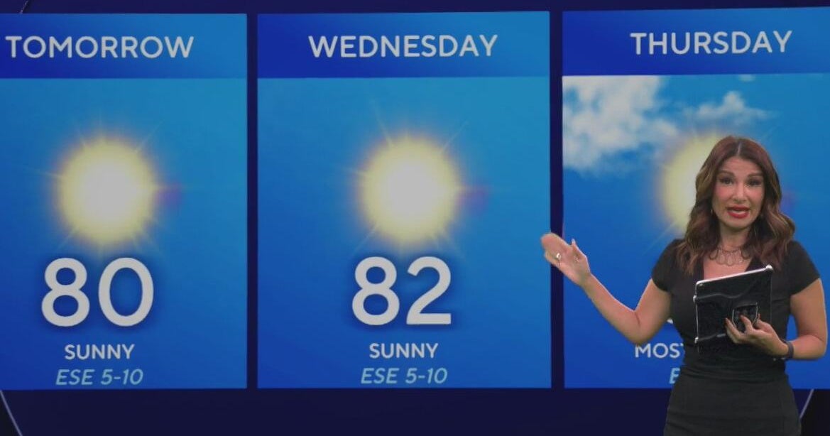 Beautiful stretch of weather continues across North Texas
The Takeout with Major Garrett CBS News Chicago 4pm CBS News Detroit 5pm CBS News Miami 5pm The 4 from WCCO News CBS News New York 5pm CBS News Philadelphia 5pm CBS News Texas at 4pm
-
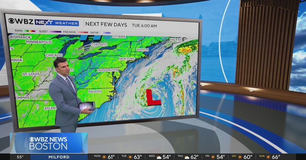 Next Weather: WBZ evening forecast for October 19, 2026
The Takeout with Major Garrett CBS News Chicago 4pm CBS News Detroit 5pm CBS News Miami 5pm The 4 from WCCO News CBS News New York 5pm CBS News Philadelphia 5pm CBS News Texas at 4pm
-
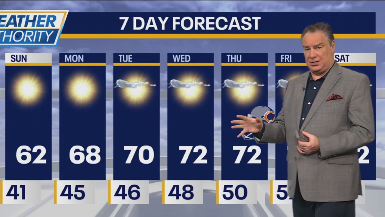 Chicago weather: Chilly start to gameday, then sun and mid-60s
FOX 32 Chicago Fox Chicago Meteorologist Mike Caplan has the forecast for Oct. 18, 2026.
-
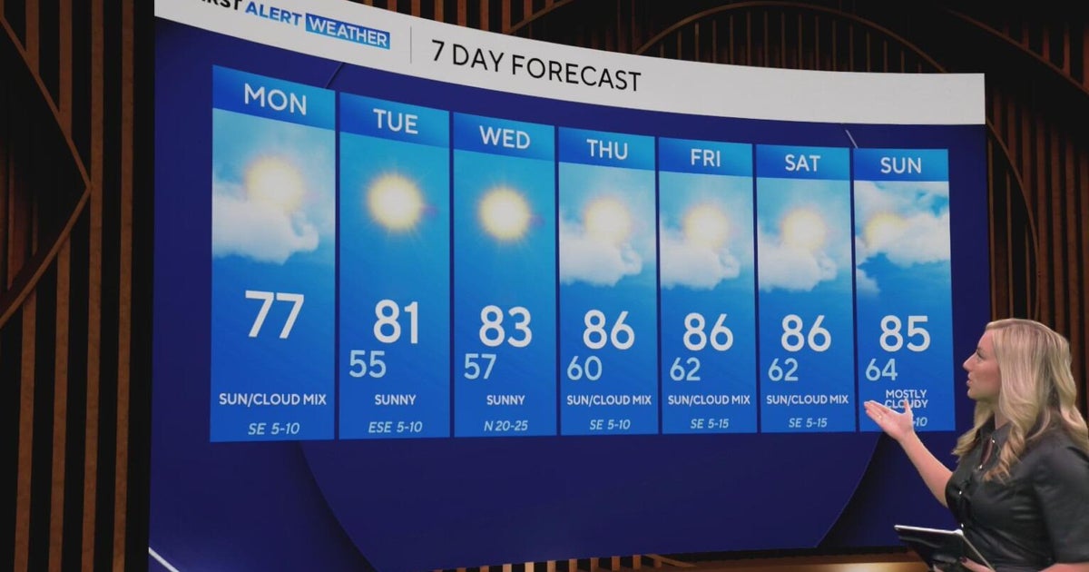 Cool and crisp morning in store for North Texas as temperatures top out in 70s, 80s this week
CBS News Baltimore 8am CBS News Boston 8am CBS News Chicago 7am CBS News Colorado This Morning 6am CBS News Los Angeles Mornings 5am CBS News Miami 8am CBS News New York 8am CBS News Texas 7am
-
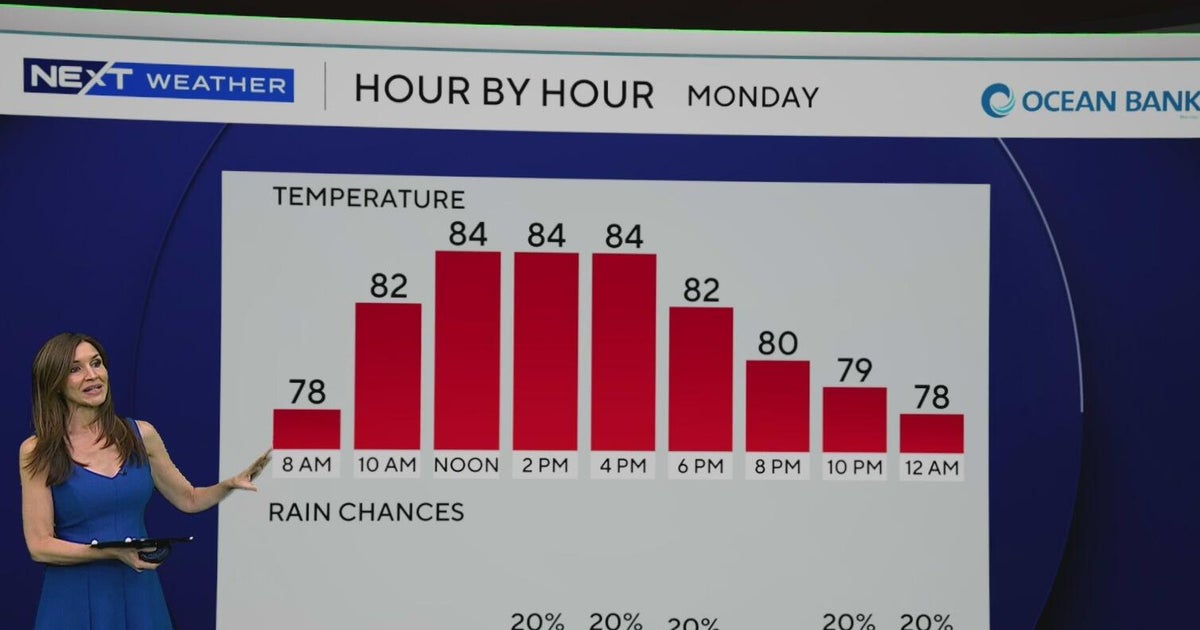 South Florida to see lower rain chances, cooler temperatures this week
CBS News Baltimore 8am CBS News Boston 8am CBS News Chicago 7am CBS News Colorado This Morning 6am CBS News Los Angeles Mornings 5am CBS News Miami 8am CBS News New York 8am CBS News Texas 7am
-
 NEXT Weather: 6 a.m. report for Minnesota on Oct. 19, 2026
CBS News Baltimore 7am CBS News Bay Area Evening Edition 11pm CBS News Boston 7am CBS News Chicago 6am CBS News Colorado This Morning 5am CBS News Los Angeles Weekend 11pm CBS News Miami 7am CBS News New York 7am KDKA…
-
 KZN storms and damaging winds: What residents need to know
Home » News » Weather » KZN storms and damaging winds: What residents need to know Severe storms and damaging winds threaten KZN. Find out what residents, parents and motorists should prepare for. KwaZulu-Natal…
Air quality
Air quality is satisfactory, and air pollution poses little or no risk.
Forecast
- TueModerate
- WedModerate
- ThuModerate
Lake County, IL reporting area · 1 hr ago. Data from AirNow (EPA and its state, local and tribal partners); preliminary and subject to change.
Sun & moon
Nearby
- Chicago 34 km
- Aurora 58 km
- Naperville 46 km
- Elgin 39 km
- Kenosha 51 km
- Waukegan 26 km
- Cicero 32 km
- Arlington Heights 13 km
- Evanston 15 km
- Schaumburg 23 km
- Bolingbrook 52 km
- Palatine 17 km
Forecasters' discussion
From the National Weather Service office in LOT, issued 8 hrs ago
Key Messages
- Some ground fog may develop within 10-15 miles of Lake Michigan during early morning hours the next few days. Any fog would then quickly dissipate after sunrise.
- An extended period of dry and above to much above average temperatures is expected through the upcoming weekend.
Discussion
Issued at 154 AM CDT Tue Oct 20 2026
No significant weather is expected through the upcoming weekend with above to much above average temperatures each day. Generally light winds should allow weak lake breezes to form each of the next several afternoons, but only result in slightly cooler conditions right near the lake. A modest increase in moisture in the wake of the afternoon lake breezes could allow for some ground fog to form during the early morning hours the next few days. Otherwise, look for mostly sunny conditions for the remainder of the work week.
- Borchardt/Izzi
Aviation
Issued at 620 AM CDT Tue Oct 20 2026
Key Aviation Messages for the current TAF period:
- Patchy fog, locally dense, expected through sunrise today for Chicago terminals north of a KARR to KMDW line
- Another chance for fog tomorrow morning for terminals closer to the lake
A locally dense fog bank is slowly moving west-southwest through northeastern Illinois this morning. The densest portion of this fog dropped visibilities at KORD down to 1/8SM. This fog is expected to impact terminals north of a KARR to KMDW line. Some MVFR vis may develop south of this border, but there is lower confidence in dense fog currently. Once the sun rises, visibilities are expected to improve back to VFR conditions.
Winds are expected to be light and mostly out of the east- southeast today. Clear skies are expected tonight with light, if not calm, winds across the area leading to another chance for fog developing closer to the lake, similar to what is happening this morning. A TEMPO was added for tomorrow morning introducing reduced vis which can be adjusted in later TAF packages with updated confidence in fog development.
Lot Watches
IL...Dense Fog Advisory until 9 AM CDT this morning for ILZ005- ILZ006-ILZ013-ILZ103-ILZ104.
IN...None. LM...None.
Forecasts, observations and alerts in the United States come from the National Weather Service (NOAA); radar from NOAA's Multi-Radar Multi-Sensor system; satellite imagery from NASA's Global Imagery Browse Services (GIBS) and NOAA's GOES satellites; the map from the U.S. Geological Survey's National Map; air quality from AirNow (EPA and its partners); hurricane information from the National Hurricane Center; climate normals and records from NOAA's Regional Climate Centers (ACIS). Forecasts outside the United States and the UV index: MET Norway (CC BY 4.0); observations outside the U.S.: airport reports via NOAA's Aviation Weather Center. Place names: GeoNames (CC BY 4.0). Data are copied on a schedule and may lag the sources; for warnings that affect your safety, follow your local National Weather Service office and emergency officials. Weather news is drawn from the 4Search index and reflects what the press published. Terms of use.