Install
Foley, MN 56329 Weather
Current conditions
Forecast for this hour (no station report in the last two hours)
Forecast
10-day-
Friday
A chance of rain showers after 2pm. Partly sunny. High near 72, with temperatures falling to around 69 in the afternoon. South southeast wind 5 to 15 mph, with gusts as high as 30 mph. Chance of precipitation is 50%.
-
Friday Night
A chance of rain showers before 7pm. Mostly cloudy, with a low around 60. South southeast wind around 15 mph, with gusts as high as 30 mph. Chance of precipitation is 30%.
-
Saturday
Rain showers likely between 7am and 4pm. Mostly cloudy. High near 70, with temperatures falling to around 60 in the afternoon. Southwest wind 10 to 15 mph. Chance of precipitation is 70%.
National Weather Service forecast updated 4 hrs ago.
Hourly
Hourly forecast- Now55°
- 10 AM59°
- 11 AM64°
- 12 PM67°
- 1 PM70°
- 2 PM70°21%
- 3 PM71°35%
- 4 PM69°50%
- 5 PM69°37%
- 6 PM68°27%
- 7 PM64°10%
- 8 PM63°
- 9 PM63°
- 10 PM63°
- 11 PM64°
- Sat12 AM64°
- 1 AM64°
- 2 AM63°
- 3 AM63°
- 4 AM62°
- 5 AM62°
- 6 AM61°
- 7 AM61°15%
- 8 AM61°28%
10-day forecast
Details- TonightOct 22Partly Cloudy50°
- TodayOct 23Partly Sunny then Chance Rain Showers50%60°72°
- SatOct 24Rain Showers Likely74%39°70°
- SunOct 25Partly Sunny16%37°54°
- MonOct 26Chance Rain Showers52%36°46°
- TueOct 27Chance Rain Showers52%41°51°
- WedOct 28Chance Rain Showers38%40°58°
- ThuOct 29Mostly Sunny13%53°
- FriOct 30Partly cloudy29°42°
- SatOct 31Mostly sunny33°54°
Days after the National Weather Service's seven are MET Norway's outlook, a computer model with no forecaster's review.
Radar
Full mapWeather news near Foley
More weather news-
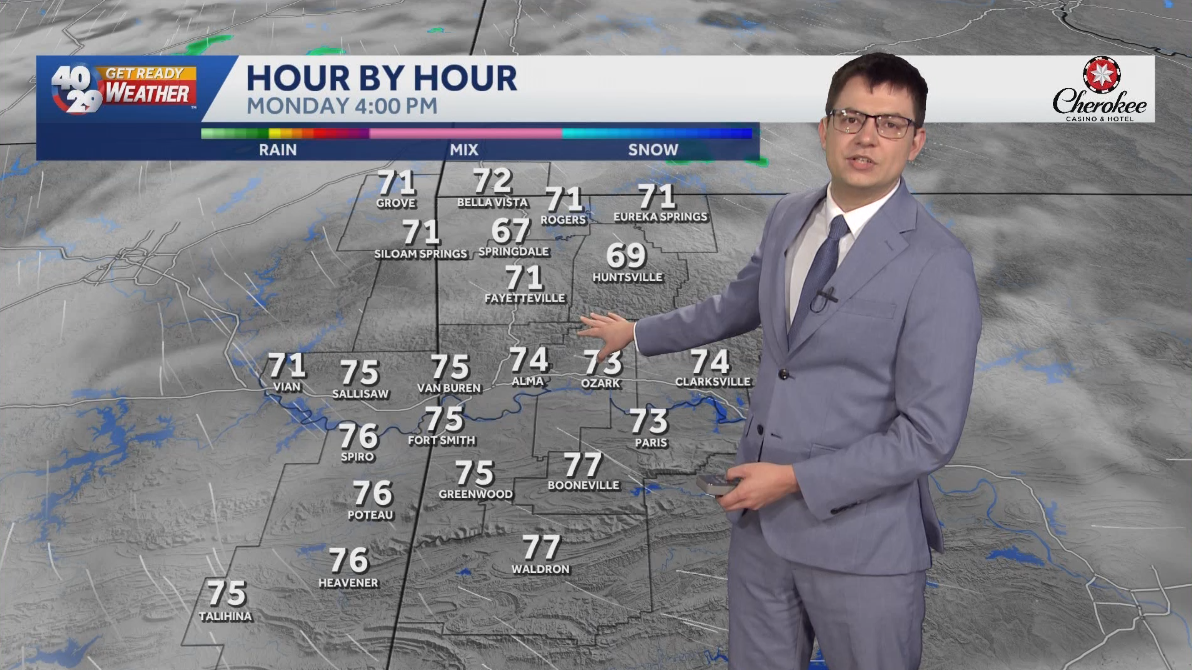 Seasonally warm to start the work week in Arkansas
Morning lows will remain in the 40s over the next few days. Afternoon highs will start to warm back into the 70s early in the work week. High temperatures will warm back into the 80s later in the week. Watch the…
-
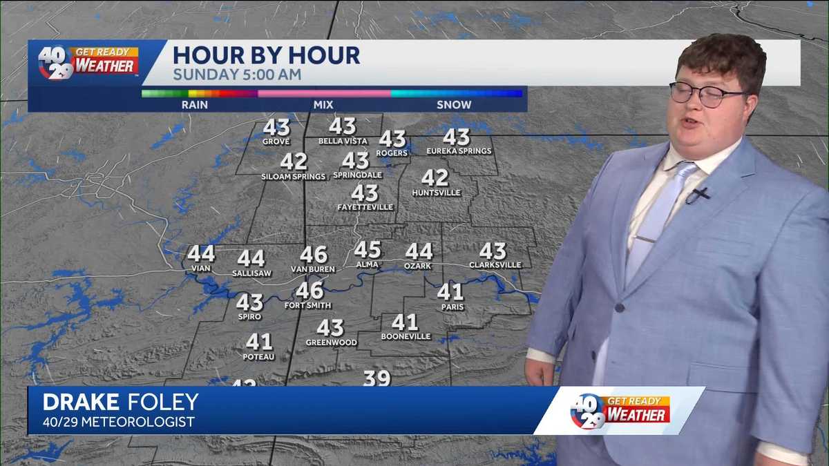 Taste of fall continues through Sunday
Arkansans are waking up to the coolest morning since May. It is chilly for some and there could be the small chance for some frost, although many won't see frost. Enjoy the cooler weather, as the warmer temps return as…
-
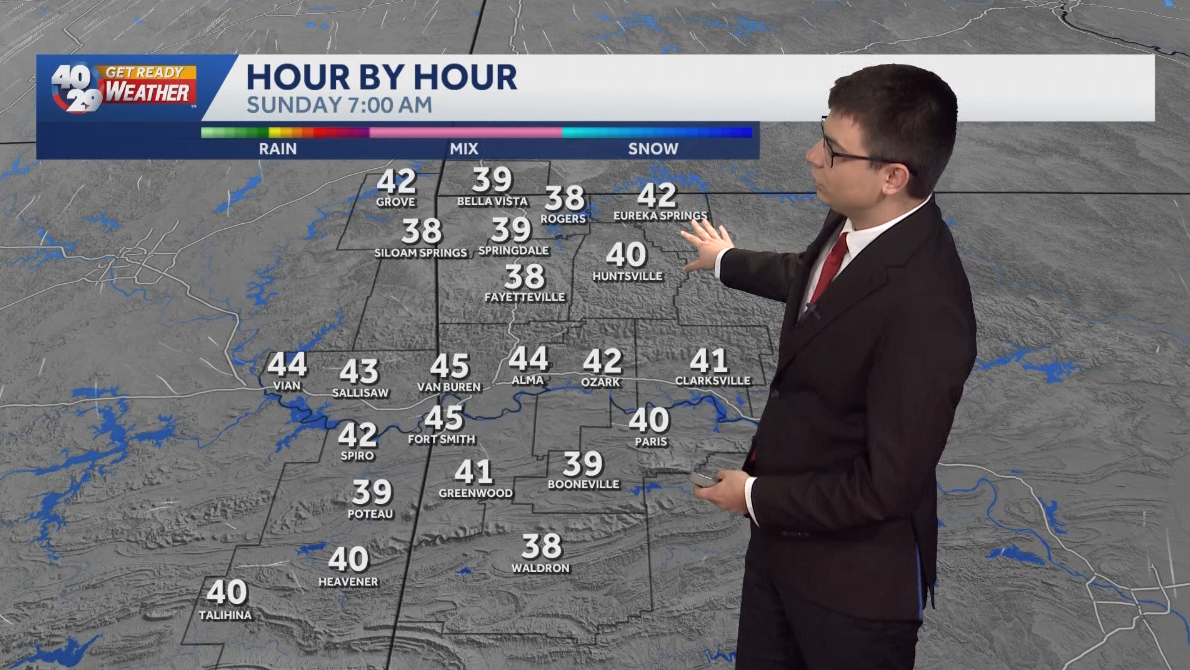 Staying cool on Sunday morning with warmer weather on the way
Some of us may see frost on Sunday morning, mainly in Northwest Arkansas. High temperatures on Sunday afternoon will be a touch warmer than today, reaching the upper 60s to low 70s. Temperatures will gradually warm…
-
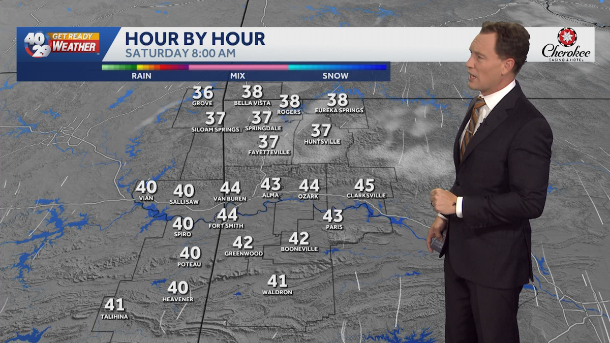 First frost could come this weekend
40/29 Chief Meteorologist Darby Bybee says the chilliest weather of the season is continuing to push in. Watch the videocast above to learn more. Some of us could even see our first frost this weekend. You can see the…
-
 Breezy this morning, cool this weekend
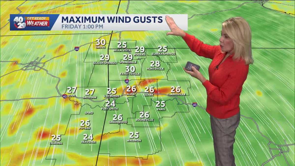
Grab a jacket! You'll be glad that you did. Our temperatures this afternoon are going to be at least 25 degrees cooler that they were yesterday! Afternoon highs will be in the mid-50s in Northwest Arkansas. With a…
-
 Rain chances linger overnight
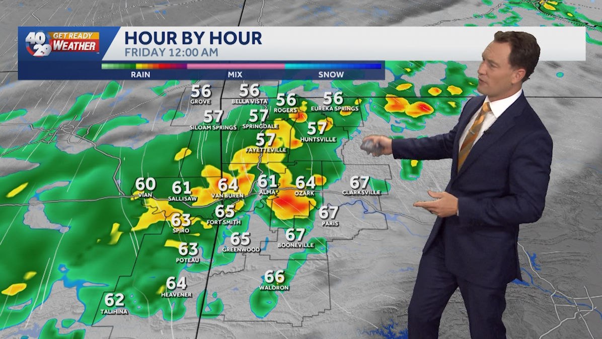
40/29 Chief Meteorologist Darby Bybee says rain chances will linger into the overnight hours. Watch the videocast above to learn more. This comes as much cooler air starts arriving late tonight into Friday morning. Get…
-
 Keep your umbrella with you... We have another chance of showers later today and tonight
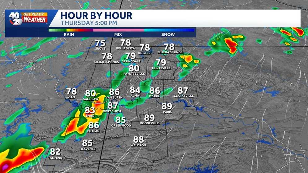
Much needed rain is making its way through Northwest Arkansas and the River Valley today. Early morning rain showers will give way to a few breaks in the clouds and warm temperatures through the afternoon. Highs today…
-
 A Few Showers Before Much Cooler Temps
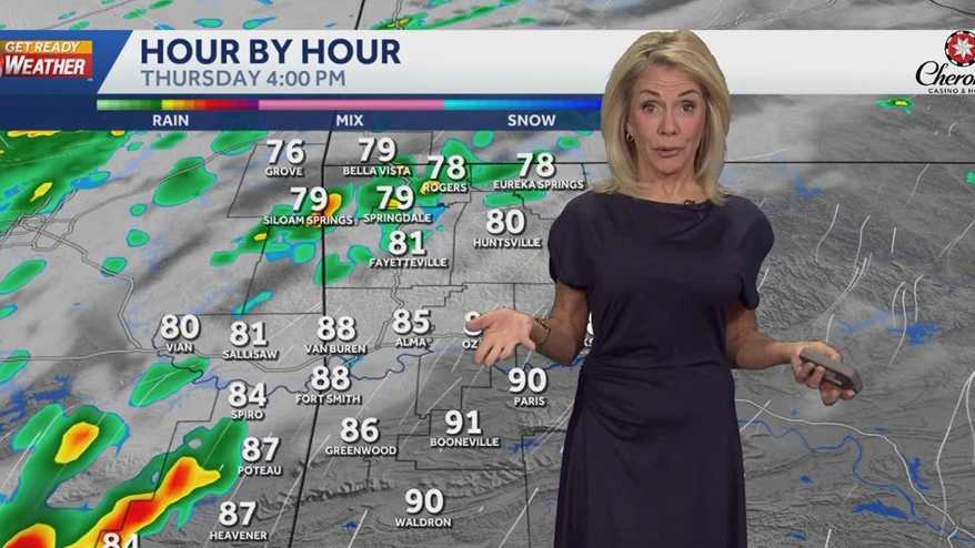
Watch the videocast above to learn more. Keep your umbrella close - we'll have showers early - a break midday - then a few more showers moving into the evening. You can see the 7-day forecast for Northwest Arkansas and…
-
 A cloudy Thursday ahead: Your Morning Atlantic weather
CTV News A cloudy Thursday ahead: Your Morning Atlantic weather Cloudy conditions with a chance of showers in the region. Brianne Foley shares your Atlantic Canadian weather forecast.
-
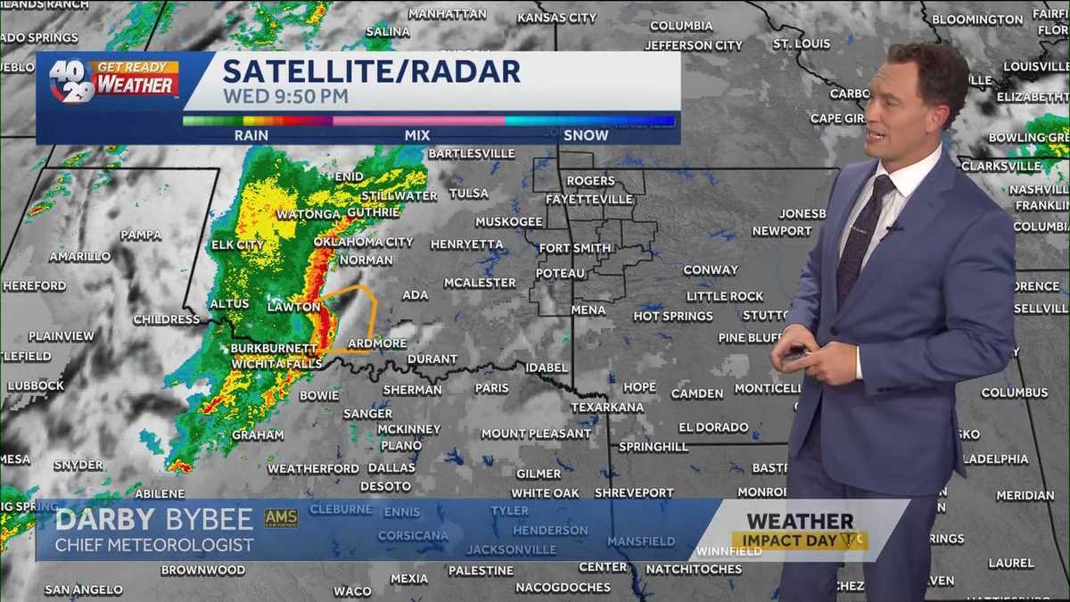 Strong storms possible early Thursday morning
Chief Meteorologist Darby Bybee says some of us could be dealing with some stronger storms early Thursday morning. You can see the 7-day forecast for Northwest Arkansas and the River Valley anytime. We also have an…
Air quality
Acceptable. Unusually sensitive people should consider limiting prolonged outdoor exertion.
Forecast
- FriGood (44)
- SatGood
- SunGood
St. Cloud Area, MN reporting area · 1 hr ago. Data from AirNow (EPA and its state, local and tribal partners); preliminary and subject to change.
Sun & moon
Almanac
MonthlySaint Cloud Area, records since 1894. Normals 1991–2020. Data from NOAA's Regional Climate Centers (ACIS).
Nearby
- Saint Cloud 24 km
- Elk River 51 km
- Sartell 24 km
- Saint Michael 57 km
- Buffalo 58 km
- Otsego 53 km
- Sauk Rapids 22 km
- Monticello 44 km
- Big Lake 42 km
- Little Falls 47 km
- Cambridge 55 km
- Waite Park 28 km
Forecasters' discussion
From the National Weather Service office in MPX, issued 10 hrs ago
Key Messages
- Quiet weather continues this afternoon with a top 10 weather day ongoing.
- Breezy southerly winds expected tomorrow with rain showers possible in western MN.
- More shower chances Saturday along a cold front, with the front stalling south of the area on Sunday. Dry except for western MN on Sunday, with further rain showers expected by Monday morning. The highest rain rates and best accumulations are expected in southwest/southern MN Monday morning.
Discussion
Issued at 303 PM CDT Thu Oct 22 2026
A top 10 weather day is unfolding before us as you would probably struggle to describe a nicer late October day than what we have. Temperatures range from low 70s in western WI and central MN to as high as the upper 70s in southern MN as of 2:30pm, with a light breezy out of the south to southeast and mostly clear skies. The only cloud cover on satellite is over portions of western WI with some fair weather cumulus as the rest of the area is under total sunshine. Our days are getting shorter so get outside and enjoy the beautiful weather while it lasts!
Our last couple 70 degree days will be tomorrow and Saturday as we see breezy southerly winds pick up tomorrow ahead of an incoming cold front which will bring shower chances and much cooler temperatures after it passes. Winds increase to 15-20mph with gusts as high as 30-35mph in western MN by Friday afternoon out of the south with a few showers also moving across the area due to the increased omega from the WAA in the lower levels, as we do maintain enough moisture to produce showers. The breezy winds will partially elevate fire weather conditions, however the showers moving in and the relatively high moisture will keep RH high enough to prevent any sort of statement or Red Flag conditions. The rest of the area remains dry and enjoys the warmer weather until the front arrives, with winds starting to shift in western Minnesota by midday Saturday alongside the arrival of more showers along the front. The synoptic setup for the front is not ideal for widespread sustained rainfall, rather we look to have a line of scattered showers producing rain showers with some gaps expected. This is due to a pair of surface lows with one moving northwards into central Canada and the other down in the southern Plains, with the cold front stretching southwards from the northern low. As a result our forcing is rather weak even with some omega from WAA ahead of the front as we are too far removed from the actual low pressure centers. This line of showers looks to stretch from roughly Duluth to Sioux Falls by Noon Saturday, with showers weakening into the evening and largely dissipating overnight into Sunday. Winds will shift from southerly ahead of the front to northwesterly by Saturday afternoon as they also weaken below 10mph, with a continued northerly shift by Sunday. Weak high pressure tries to slide into the gap left by the front as it sags southwards on Sunday, however the southern plains low looks to move northeast and push the high off to the northwest as a final round of rainfall arrives on Monday morning. This final round looks to be the most robust of the group as the surface low weakens but moves closer to the area, with southwestern and southern MN favored for the highest rainfall amounts which look to range from 1/2 to 3/4 inch.
Behind the front we return to much more normal temperatures in the 50s for highs and upper 30s to 40s for lows, which is much closer to our normal near 50 degree high temperatures by Halloween. However, ensemble guidance is favoring a brief period of above normal temperatures again starting Wednesday as another synoptic scale system moves across central North America, with a warm frontal boundary bringing low level WAA once again. As of right now, this looks to be more mid to upper 50s highs with maybe a few 60s, instead of the 70s we have been seeing. So while it is a cooldown compared to now, it still ends up above normal overall. This warm stretch is also relatively short lived, with the cold front from the same system moving through by the end of next week and returning us to near normal to end the month. We still do not have any indication of near freezing temperatures, which means even if we do see precipitation chances, we expect to see only rain with little chance for any snow.
Aviation
Issued at 1113 PM CDT Thu Oct 22 2026
The main change for this TAF period is south-southeasterly winds have been increased across western and central MN during Friday. Winds will be strongest during Friday afternoon across west-central MN (AXN) where sustained values will near 20 knots while gusts reach 30-35 knots. Winds will decrease heading east into WI. However, wind speeds and gusts as a whole will only slow slightly during Friday evening. Still expecting a band of -SHRA to move through western to central MN late morning into the afternoon. Have maintained PROB30s for STC and RWF. A small chance of -TSRA exists at AXN but confidence is not currently high enough to include in the TAF. Southerly LLWS of 40-50 knots is likely Friday evening over MN as a strong LLJ moves overhead.
KMSP...Slight chance of -SHRA at MSP late Friday afternoon but confidence is still too low to include in the TAF. South- southeasterly wind gusts of 20-25 knots expected Friday afternoon. Also, included southerly LLWS of 40 knots Friday night.
/OUTLOOK FOR KMSP/ SAT...VFR, chc -SHRA/MVFR. Wind S 10-15G25kts becoming W. SUN...VFR. Wind N 5-10kts. MON...VFR, chc -SHRA/MVFR. Wind NE 5-10kts.
Mpx Watches
MN...None. WI...None.
Forecasts, observations and alerts in the United States come from the National Weather Service (NOAA); radar from NOAA's Multi-Radar Multi-Sensor system; satellite imagery from NASA's Global Imagery Browse Services (GIBS) and NOAA's GOES satellites; the map from the U.S. Geological Survey's National Map; air quality from AirNow (EPA and its partners); hurricane information from the National Hurricane Center; climate normals and records from NOAA's Regional Climate Centers (ACIS). Forecasts outside the United States and the UV index: MET Norway (CC BY 4.0); observations outside the U.S.: airport reports via NOAA's Aviation Weather Center. Place names: GeoNames (CC BY 4.0). Data are copied on a schedule and may lag the sources; for warnings that affect your safety, follow your local National Weather Service office and emergency officials. Weather news is drawn from the 4Search index and reflects what the press published. Terms of use.