Install
Saint Cloud, MN Weather
Current conditions
Observed at St. Cloud Regional Airport · 1 hr ago
Forecast
10-day-
This Afternoon
Sunny, with a high near 68. South wind around 10 mph.
-
Tonight
Mostly clear, with a low around 46. South wind 0 to 5 mph.
-
Wednesday
Patchy fog between 8am and 9am. Sunny, with a high near 70. East southeast wind around 0 mph.
National Weather Service forecast updated 2 hrs ago.
Hourly
Hourly forecast- Now66°
- 3 PM68°
- 4 PM68°
- 5 PM68°
- 6 PM66°
- 7 PM62°
- 8 PM59°
- 9 PM57°
- 10 PM55°
- 11 PM53°
- Wed12 AM53°
- 1 AM52°
- 2 AM50°
- 3 AM49°
- 4 AM48°
- 5 AM47°
- 6 AM46°
- 7 AM46°
- 8 AM46°
- 9 AM49°
- 10 AM54°
- 11 AM58°
- 12 PM62°
- 1 PM66°
10-day forecast
Details- TodayOct 20Sunny46°68°
- WedOct 21Patchy Fog then Sunny46°70°
- ThuOct 22Mostly Sunny53°72°
- FriOct 23Chance Rain Showers28%57°69°
- SatOct 24Chance Rain Showers48%48°69°
- SunOct 25Chance Rain Showers26%40°58°
- MonOct 26Slight Chance Rain Showers15%34°53°
- TueOct 27Mostly sunny28°46°
- WedOct 28Sunny35°51°
- ThuOct 29Mostly sunny34°44°
Days after the National Weather Service's seven are MET Norway's outlook, a computer model with no forecaster's review.
Radar
Full mapWeather news in Minnesota
More weather news-
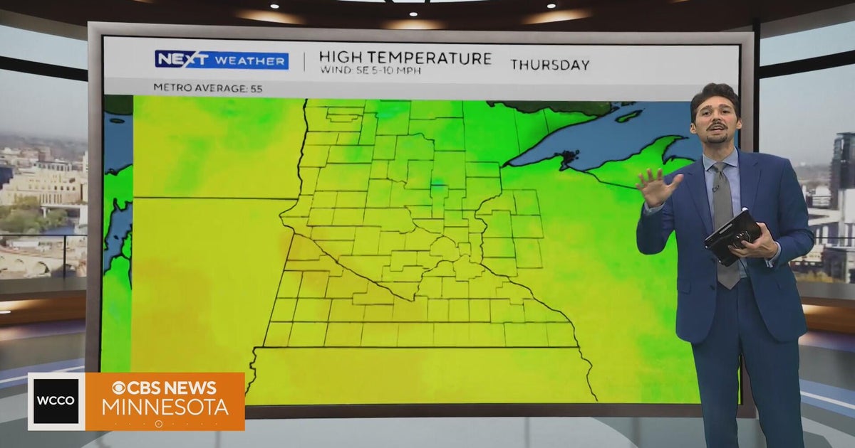 Minnesota weather stays unusually warm, with highs 15 to 20 degrees above normal | Oct. 20, 2026
CBS News Minnesota weather stays unusually warm, with highs 15 to 20 degrees above normal | Oct. 20, 2026 Preview: Golf 101 at Park 365 in Roseville Twin Cities man, 18, accused in MOA terror plot, and more headlines…
-
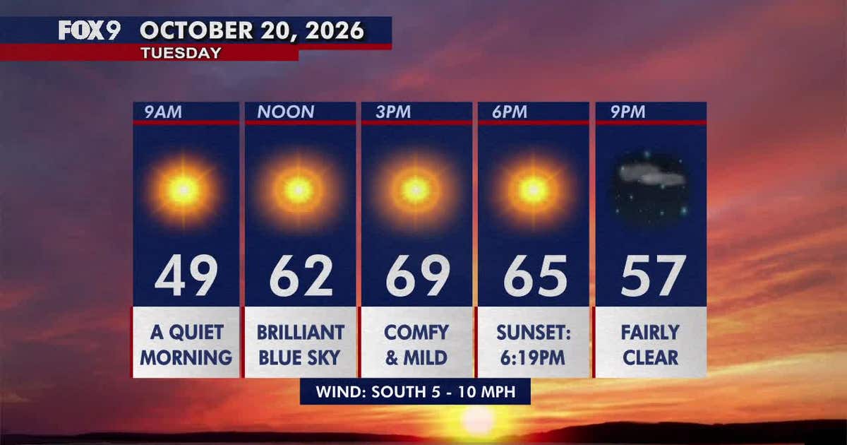 Minnesota weather: Pleasant, sunny and mild Tuesday
Tuesday brings plenty of sunshine and mild temperatures in the upper 60s and low 70s. Highs climb into the 70s areawide by Wednesday before cooler, more seasonable weather returns early next week. FOX 9 meteorologist…
-
 Warming trend in Minnesota continues, as rain holds off
CBS News Minnesota is a local news organization that is part of CBS News and Stations. Also referred to as WCCO-TV and channel 4, CBS News Minnesota offers local breaking news, weather coverage and investigative…
-
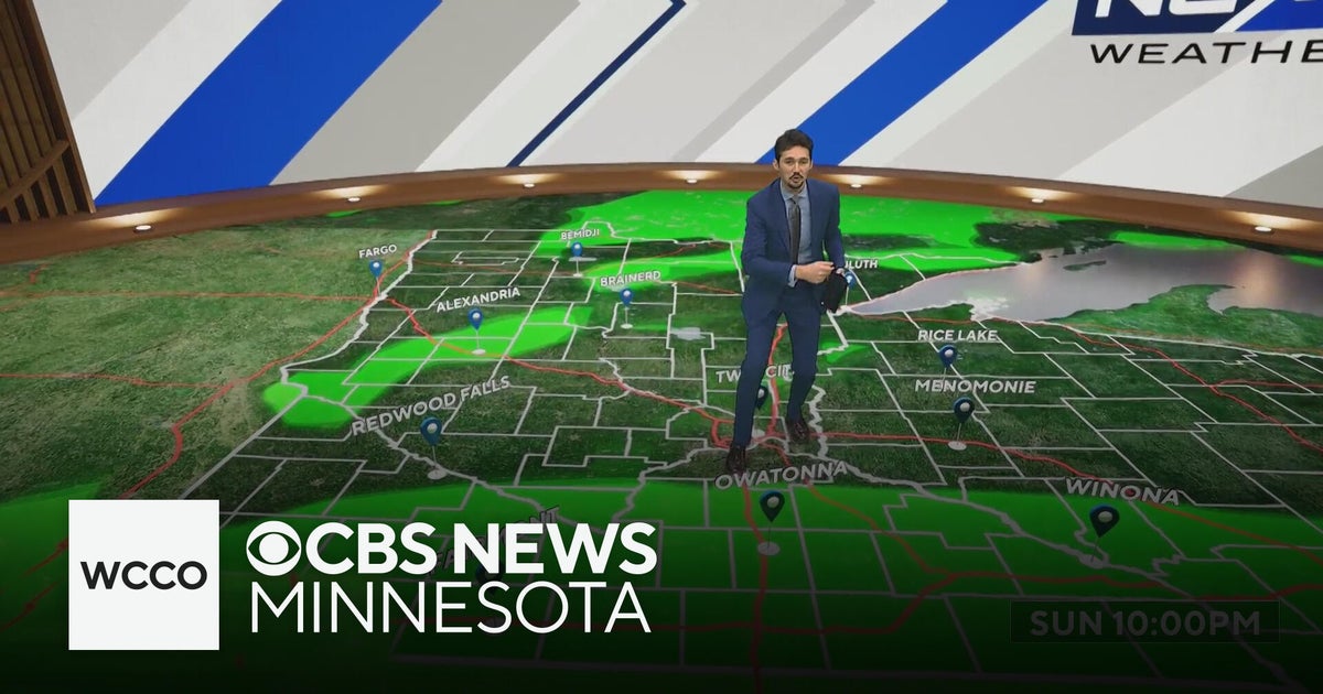 More sunny, mild late October weather in Minnesota | Oct. 20, 2026
CBS News Baltimore 8am CBS News Boston 8am CBS News Chicago 7am CBS News Colorado This Morning 6am CBS News Los Angeles Mornings 5am CBS News Miami 8am CBS News New York 8am CBS News Texas 7am
-
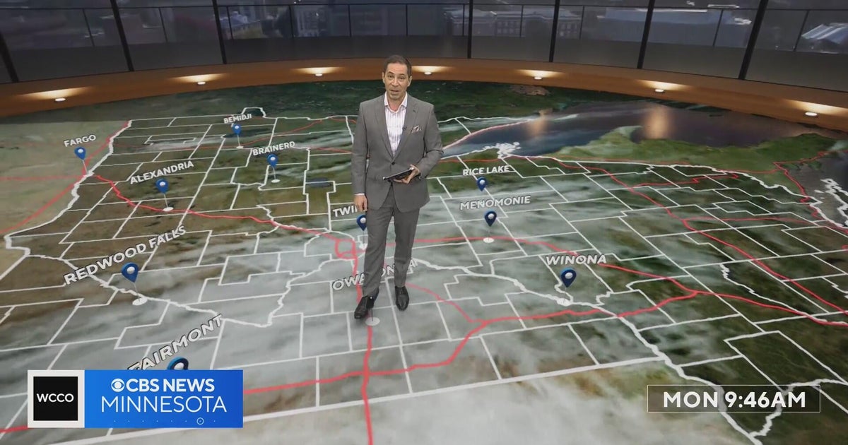 Minnesota’s warm, dry streak continues, with temperatures nearing 80 by Thursday | Oct. 19, 2026
A ridge of high pressure keeps the jet stream and cold air to the north, WCCO’s meteorologist says. Highs reach nearly 70 in the Twin Cities Wednesday, the mid 70s Thursday and close to 80 in parts of south central…
-
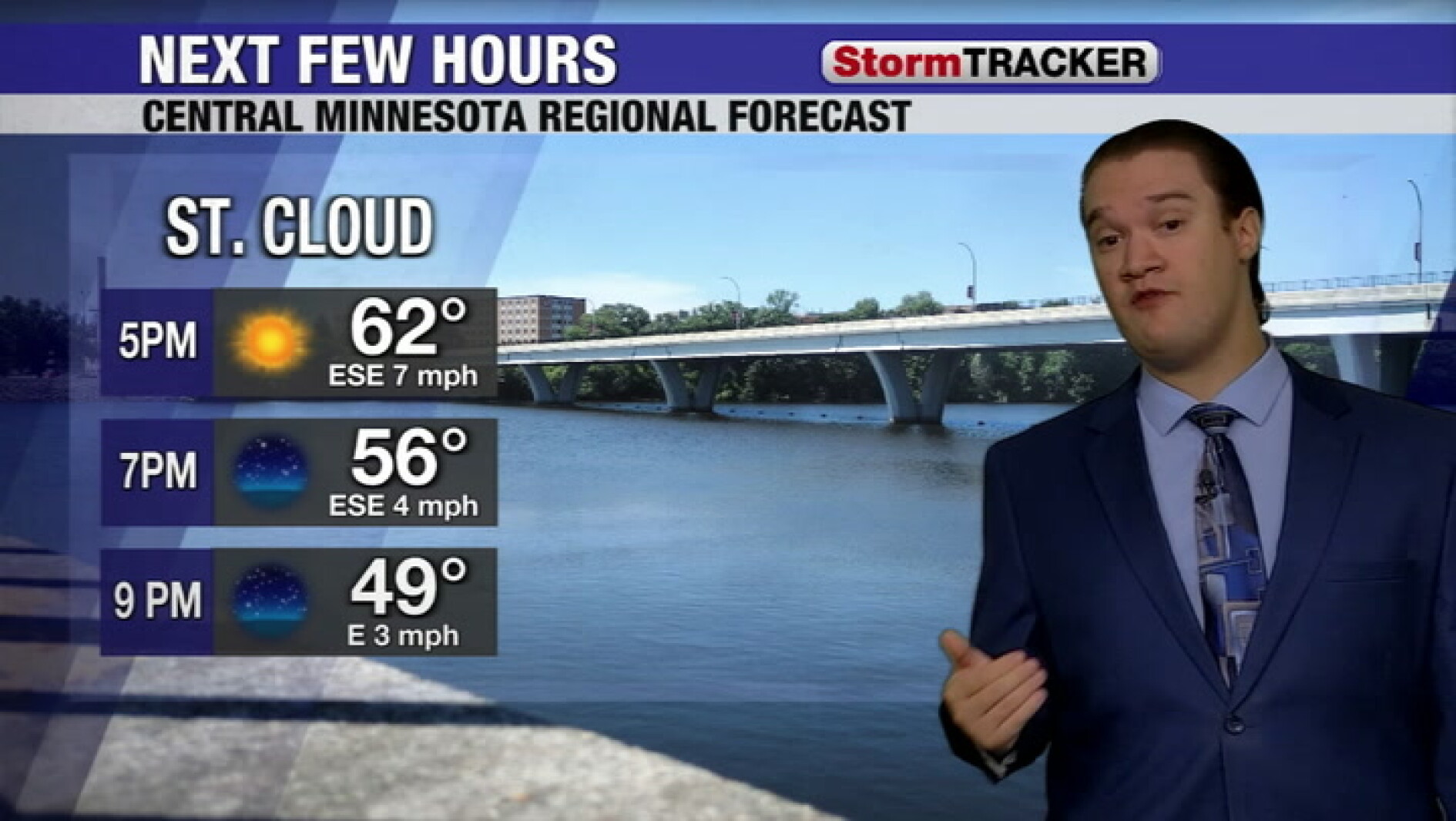 Clear skies tonight and a calm week across central Minnesota
West Central Tribune
-
-
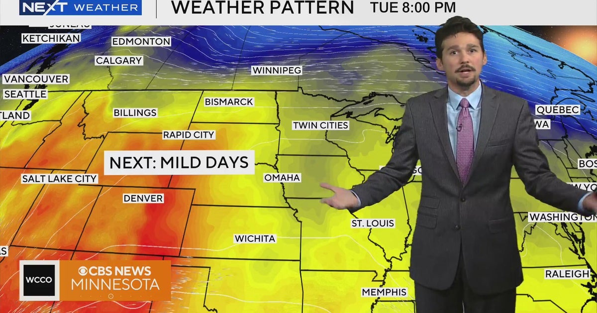 No cold air in sight for next week in Minnesota weather | Oct. 19, 2026
A west-to-east flow is keeping colder air to the north, WCCO meteorologist Joseph Dames says, and warmth building through the Rockies should push temperatures above average toward the end of the week. Cooler air may not…
-
 Can Minnesota, Wisconsin Still Get Big Snowstorms During an El Niño Winter?
If you've been paying attention to the winter forecasts lately, you've probably heard the same message over and over: warm, mild, and maybe not much snow. For a lot of people across Minnesota and Wisconsin, that sounds…
-
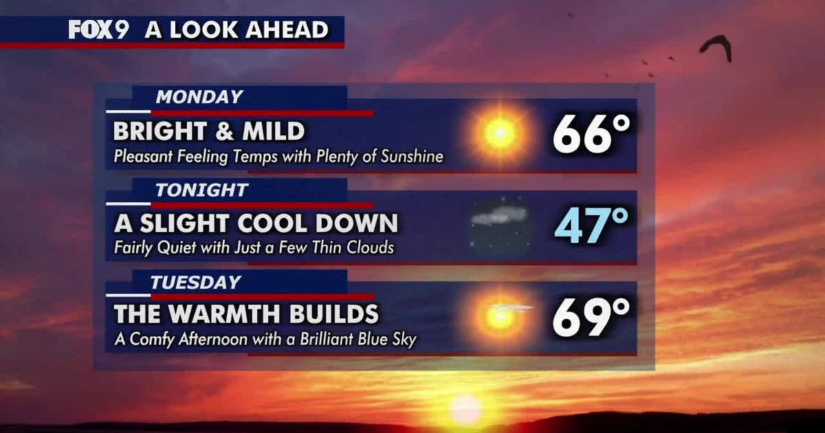 Minnesota weather: Sunny and mild Monday before warmer 70s return
Monday brings plenty of sunshine and mild temperatures in the 60s. Warmer weather arrives Tuesday, followed by widespread highs in the 70s on Wednesday and continuing through much of the week. FOX 9 meteorologist Keith…
Air quality
Air quality is satisfactory, and air pollution poses little or no risk.
Forecast
- TueModerate (53)
- WedGood
- ThuGood
St. Cloud Area, MN reporting area · 1 hr ago. Data from AirNow (EPA and its state, local and tribal partners); preliminary and subject to change.
Sun & moon
Almanac
MonthlySaint Cloud Area, records since 1894. Normals 1991–2020. Data from NOAA's Regional Climate Centers (ACIS).
Nearby
- Elk River 55 km
- Sartell 8 km
- Saint Michael 55 km
- Buffalo 49 km
- Otsego 55 km
- Sauk Rapids 3 km
- Monticello 40 km
- Big Lake 41 km
- Little Falls 49 km
- Waite Park 5 km
- Albertville 54 km
- Litchfield 56 km
Forecasters' discussion
From the National Weather Service office in MPX, issued 8 hrs ago
Key Messages
- Above normal temperatures and dry weather expected through the week.
- Chances for rain are not in the forecast until this weekend.
Discussion
Issued at 115 AM CDT Tue Oct 20 2026
TODAY THROUGH TUESDAY... Beautiful sunny and mild weather will continue through Saturday. There are no major changes to the forecast, as we continued to lean on the high side of the forecast guidance for temperatures. Afternoon highs will continue to be 15 to 20 degrees above normal, reaching the 70s across most locations south of I-94, with upper 60s north of I-94.
The driving force behind this prolonged stretch of warm weather is a large Upper Level ridge across the Mississippi River Valley, with low level southerly flow beneath it. On Saturday, a mid latitude cyclone will develop across central Canada and track toward Hudson Bay. This system will sweep a cold front through the region, and bring scattered rain showers. Rainfall amounts should be light given the lack of forcing, with most locations seeing less than a quarter inch.
Temperatures next week will be much cooler following the passage of this aforementioned cold front, but since we're starting out so warm, the end result will be temperatures closer to the seasonal average for late October. What that does mean is that Saturday could be the last 70 degree day of the year. In the Twin Cities, there have only been 25 years in the climate record dating back to 1873 where the last 70 degree day occurred in November.
Aviation
Issued at 618 AM CDT Tue Oct 20 2026
Another mostly quiet TAF period is ahead of us with SKC and relatively light winds. There may be some BR this morning mainly for EAU/RNH, dissipating quickly after daylight arrives. Winds shift slightly towards 140-160 with speeds around 10kts and a few gusts to 17-18kts. There is a chance for BR late in the period, however confidence was too low to include for now.
KMSP...No additional concerns.
/OUTLOOK FOR KMSP/ WED...VFR. Wind SW 5-10 kts. THU...VFR. Wind S 5-10 kts. FRI...VFR. Wind SSE 10-15G25 kts.
Mpx Watches
MN...None. WI...None.
Forecasts, observations and alerts in the United States come from the National Weather Service (NOAA); radar from NOAA's Multi-Radar Multi-Sensor system; satellite imagery from NASA's Global Imagery Browse Services (GIBS) and NOAA's GOES satellites; the map from the U.S. Geological Survey's National Map; air quality from AirNow (EPA and its partners); hurricane information from the National Hurricane Center; climate normals and records from NOAA's Regional Climate Centers (ACIS). Forecasts outside the United States and the UV index: MET Norway (CC BY 4.0); observations outside the U.S.: airport reports via NOAA's Aviation Weather Center. Place names: GeoNames (CC BY 4.0). Data are copied on a schedule and may lag the sources; for warnings that affect your safety, follow your local National Weather Service office and emergency officials. Weather news is drawn from the 4Search index and reflects what the press published. Terms of use.