Install
Mountain Lake, MN 56159 Weather
Current conditions
Forecast for this hour (no station report in the last two hours)
Forecast
10-day-
Today
Sunny, with a high near 77. South wind 5 to 10 mph.
-
Tonight
Mostly clear, with a low around 56. South wind 5 to 10 mph.
-
Friday
Partly sunny, with a high near 73. South southeast wind 10 to 20 mph, with gusts as high as 30 mph.
National Weather Service forecast updated 4 hrs ago.
Hourly
Hourly forecast- Now77°
- 4 PM77°
- 5 PM76°
- 6 PM72°
- 7 PM68°
- 8 PM64°
- 9 PM62°
- 10 PM61°
- 11 PM60°
- Fri12 AM59°
- 1 AM59°
- 2 AM58°
- 3 AM58°
- 4 AM57°
- 5 AM57°
- 6 AM57°
- 7 AM57°
- 8 AM56°
- 9 AM58°
- 10 AM62°12%
- 11 AM64°13%
- 12 PM67°12%
- 1 PM69°
- 2 PM71°
10-day forecast
Details- TodayOct 22Sunny56°77°
- FriOct 23Partly Sunny13%60°73°
- SatOct 24Rain Showers Likely56%45°73°
- SunOct 25Chance Rain Showers60%41°52°
- MonOct 26Rain Showers Likely61%38°49°
- TueOct 27Chance Rain Showers30%39°51°
- WedOct 28Slight Chance Rain Showers21%41°56°
- ThuOct 29Cloudy32°44°
- FriOct 30Sunny30°53°
- SatOct 31Sunny42°60°
Days after the National Weather Service's seven are MET Norway's outlook, a computer model with no forecaster's review.
Radar
Full mapWeather news near Mountain Lake
More weather news-
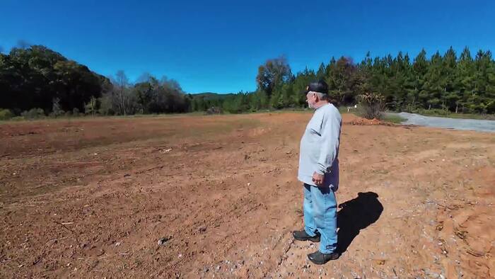 Recent rain improves drought conditions in Southwest and Central Virginia, but recovery continues
HENRY COUNTY, Va. – Tim Belcher says one of the most alarming signs of Virginia’s drought was seeing a creek on his property dry up. “The biggest scare factor that I’ve had is seeing creeks physically go dry—even on my…
-
 Much-needed rainfall lifts lake levels, spirits at Smith Mountain Lake
Michael Harless with Goodhue Boat Company at Blackwater explains how last weekend's rainfall has raised water levels enough to allow some watercraft to navigate the Deer Creek area of Smith Mountain Lake. "All these…
-
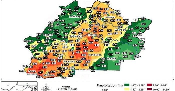 Lots of rain hit the Roanoke Valley, but didn’t reverse drought
Despite a deluge of rain falling in the Roanoke Valley last weekend, the region is still facing drought conditions. Sam Mostow (540) 981-3251 Carvins Cove Reservoir seen amid drought conditions July 20, 2026 The…
-
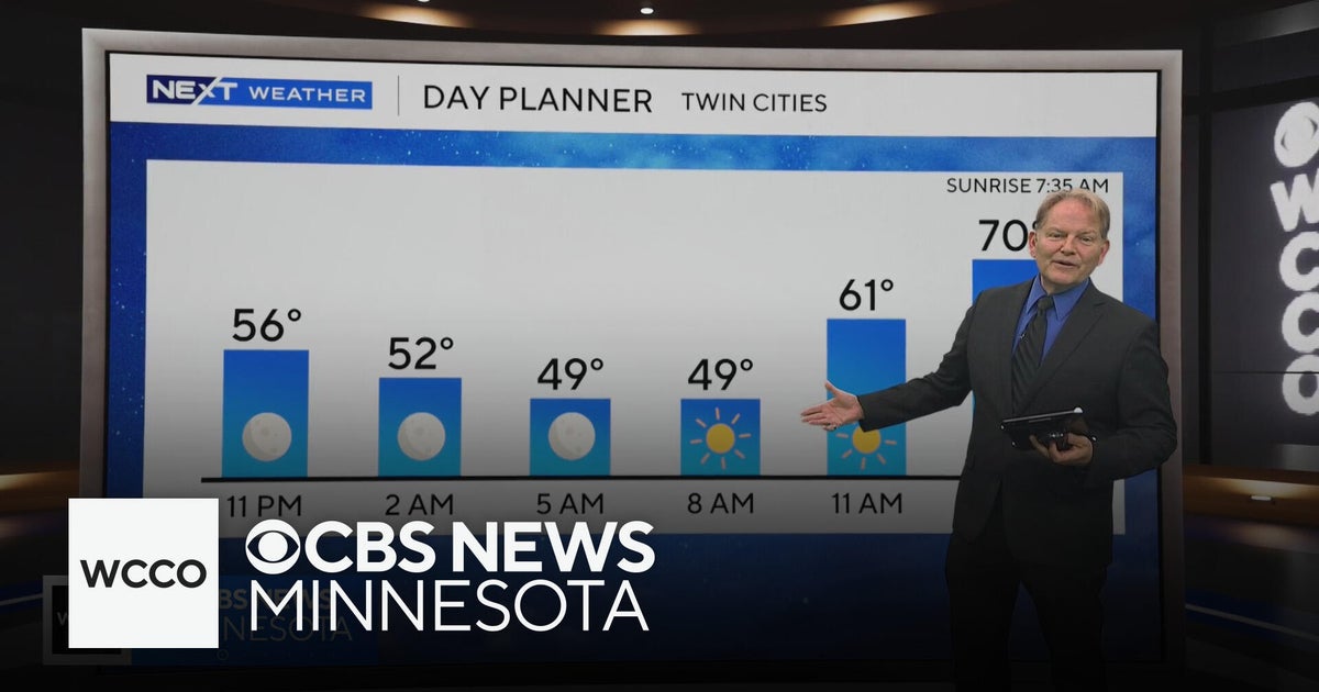 No rain in sight for Minnesota, but several days in the 70s on the way
WBZ This Morning 6am CBS News Chicago 5am CBS News Detroit 6am CBS News Miami 6am CBS News New York This Morning CBS News Philadelphia 6am KDKA-TV Morning News 6am CBS News Texas 5am
-
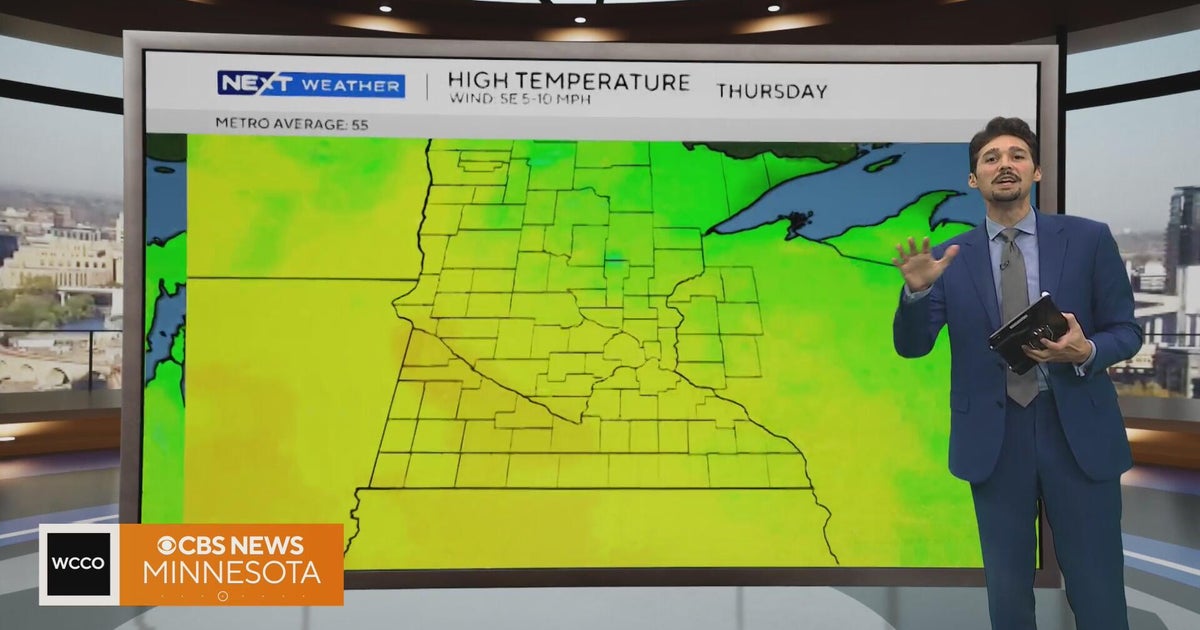 Minnesota weather stays unusually warm, with highs 15 to 20 degrees above normal | Oct. 20, 2026
CBS News Minnesota weather stays unusually warm, with highs 15 to 20 degrees above normal | Oct. 20, 2026 Preview: Golf 101 at Park 365 in Roseville Twin Cities man, 18, accused in MOA terror plot, and more headlines…
-
 More sunny, mild late October weather in Minnesota Tuesday
Updated on: October 20, 2026 / 6:34 AM CDT / CBS Minnesota Tuesday is another sunny and mild October day in the Twin Cities, with highs in the 70s south of Interstate 94 and upper 60s up north. Wednesday will be more of…
-
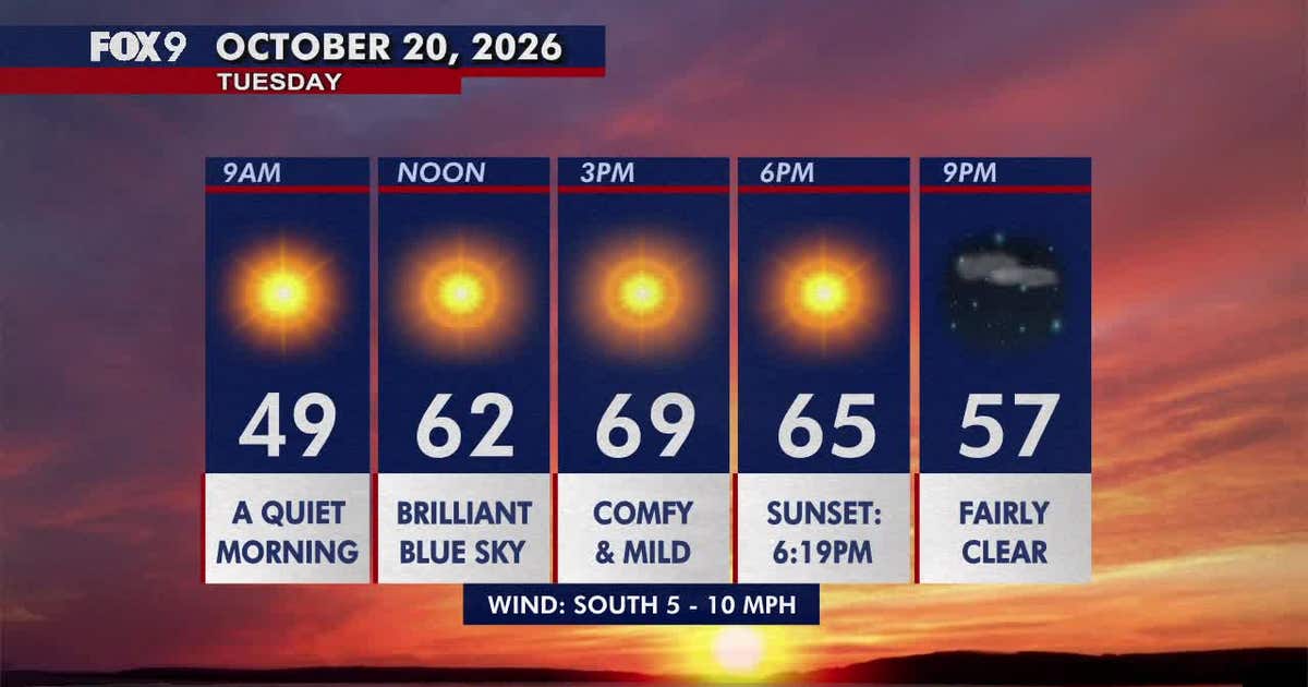 Minnesota weather: Pleasant, sunny and mild Tuesday
Tuesday brings plenty of sunshine and mild temperatures in the upper 60s and low 70s. Highs climb into the 70s areawide by Wednesday before cooler, more seasonable weather returns early next week. FOX 9 meteorologist…
-
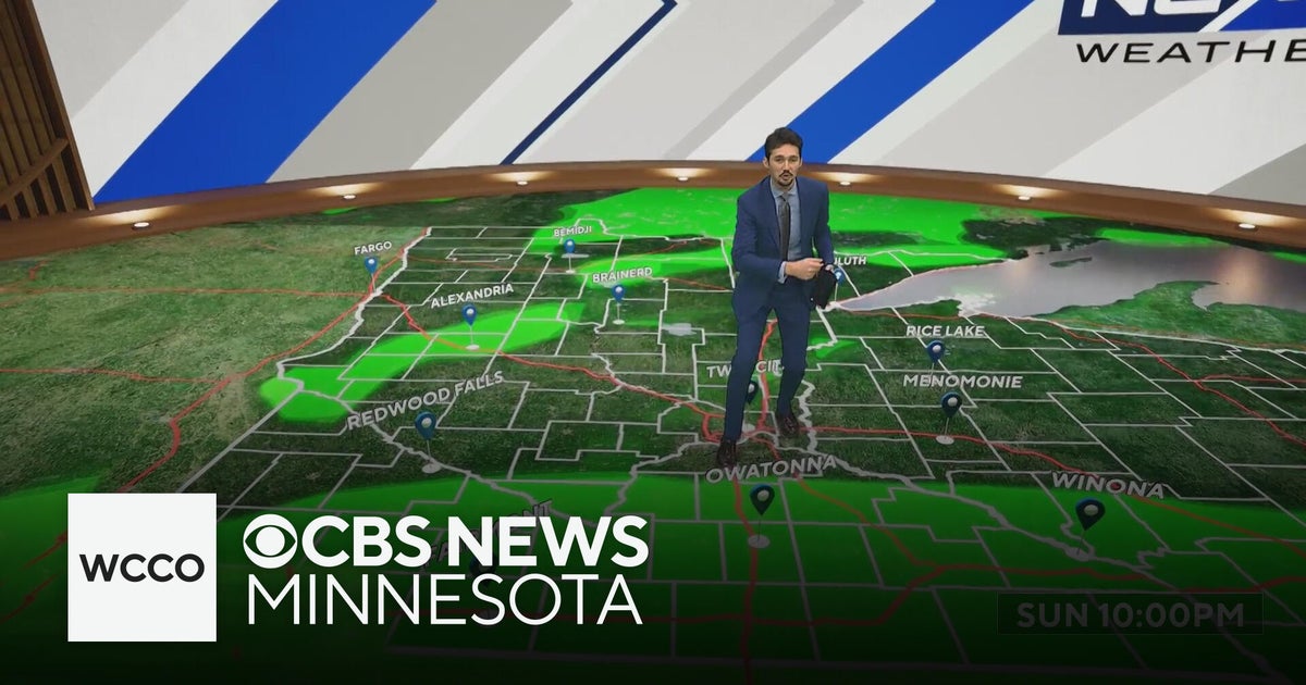 More sunny, mild late October weather in Minnesota | Oct. 20, 2026
CBS News Baltimore 8am CBS News Boston 8am CBS News Chicago 7am CBS News Colorado This Morning 6am CBS News Los Angeles Mornings 5am CBS News Miami 8am CBS News New York 8am CBS News Texas 7am
-
 Warming trend in Minnesota continues, as rain holds off
CBS News Minnesota is a local news organization that is part of CBS News and Stations. Also referred to as WCCO-TV and channel 4, CBS News Minnesota offers local breaking news, weather coverage and investigative…
-
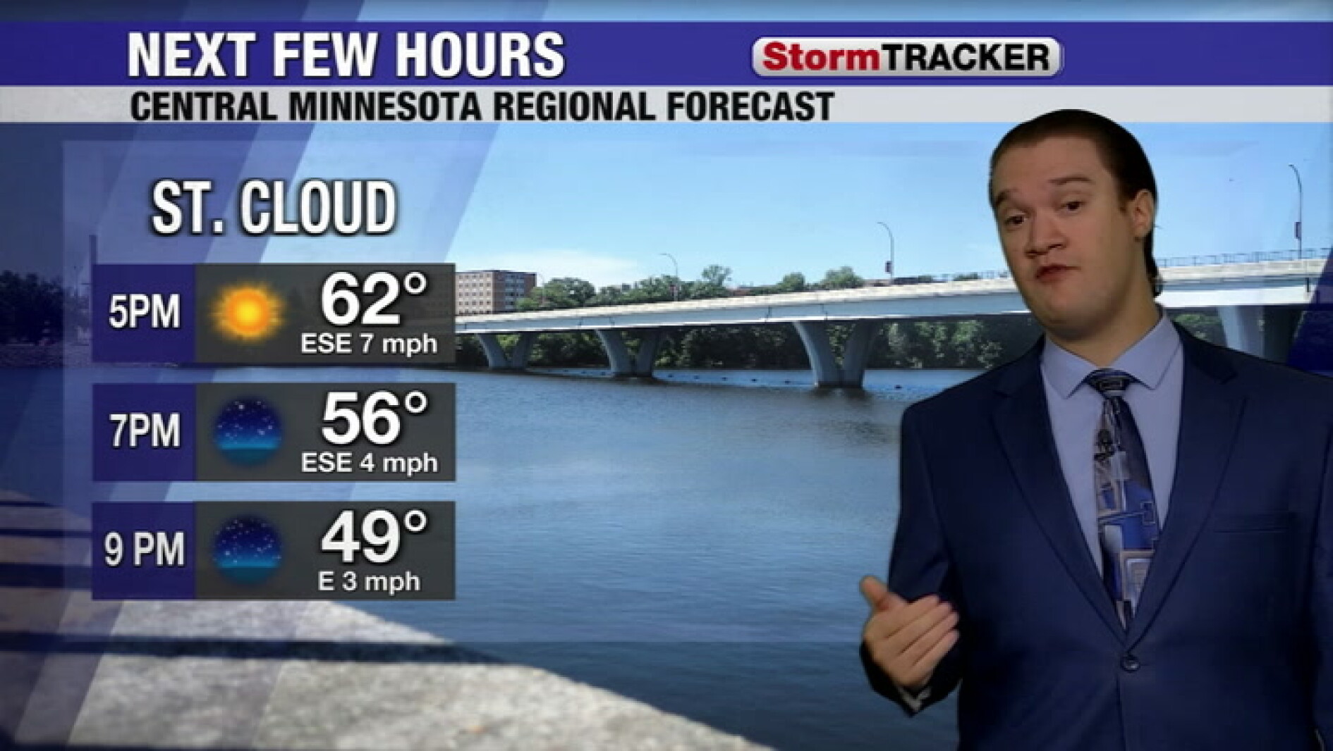 Clear skies tonight and a calm week across central Minnesota
West Central Tribune
Air quality
Acceptable. Unusually sensitive people should consider limiting prolonged outdoor exertion.
Forecast
- ThuModerate (69)
- FriGood (50)
- SatGood
South Central Minnesota, MN reporting area · 1 hr ago. Data from AirNow (EPA and its state, local and tribal partners); preliminary and subject to change.
Sun & moon
Almanac
MonthlySt. James Wwtp, records since 1958. Normals 1991–2020. Data from NOAA's Regional Climate Centers (ACIS).
Nearby
- New Ulm 56 km
- Fairmont 49 km
- Spirit Lake 59 km
- Saint James 25 km
- Windom 17 km
- Sleepy Eye 43 km
- Jackson 36 km
- Lake Crystal 60 km
- Madelia 43 km
- Springfield 34 km
Forecasts, observations and alerts in the United States come from the National Weather Service (NOAA); radar from NOAA's Multi-Radar Multi-Sensor system; satellite imagery from NASA's Global Imagery Browse Services (GIBS) and NOAA's GOES satellites; the map from the U.S. Geological Survey's National Map; air quality from AirNow (EPA and its partners); hurricane information from the National Hurricane Center; climate normals and records from NOAA's Regional Climate Centers (ACIS). Forecasts outside the United States and the UV index: MET Norway (CC BY 4.0); observations outside the U.S.: airport reports via NOAA's Aviation Weather Center. Place names: GeoNames (CC BY 4.0). Data are copied on a schedule and may lag the sources; for warnings that affect your safety, follow your local National Weather Service office and emergency officials. Weather news is drawn from the 4Search index and reflects what the press published. Terms of use.