Install
Spirit Lake, IA Weather
Current conditions
Observed at Jackson, Jackson Municipal Airport · 44 min ago
Forecast
10-day-
Monday
Rain showers. Cloudy, with a high near 51. Chance of precipitation is 80%.
-
Monday Night
Rain showers before 1am, then showers and thunderstorms likely. Mostly cloudy, with a low around 42. Chance of precipitation is 80%.
-
Tuesday
Showers and thunderstorms likely before 1pm. Mostly cloudy, with a high near 57. Chance of precipitation is 60%.
National Weather Service forecast updated 2 days ago.
Hourly
Hourly forecast- Now48°76%
- 1 PM49°75%
- 2 PM50°75%
- 3 PM51°75%
- 4 PM51°75%
- 5 PM51°75%
- 6 PM50°75%
- 7 PM51°69%
- 8 PM49°69%
- 9 PM48°69%
- 10 PM47°69%
- 11 PM46°69%
- Tue12 AM46°69%
- 1 AM46°55%
- 2 AM45°55%
- 3 AM45°55%
- 4 AM44°55%
- 5 AM44°55%
- 6 AM43°55%
- 7 AM44°29%
- 8 AM45°29%
- 9 AM47°29%
- 10 AM48°29%
- 11 AM50°29%
10-day forecast
Details- FriOct 23Chance Rain Showers12%58°74°
- SatOct 24Partly Sunny then Chance Rain Showers42%46°73°
- SunOct 25Chance Rain Showers77%40°54°
- TodayOct 26Rain Showers77%42°51°
- TueOct 27Showers And Thunderstorms Likely55%45°57°
- WedOct 28Slight Chance Rain Showers24%41°62°
- ThuOct 29Mostly Sunny16%39°57°
- FriOct 30Partly cloudy36°52°
- SatOct 31Cloudy37°58°
- SunNov 1Sunny40°60°
Days after the National Weather Service's seven are MET Norway's outlook, a computer model with no forecaster's review.
Radar
Full mapWeather news in Iowa
More weather news-
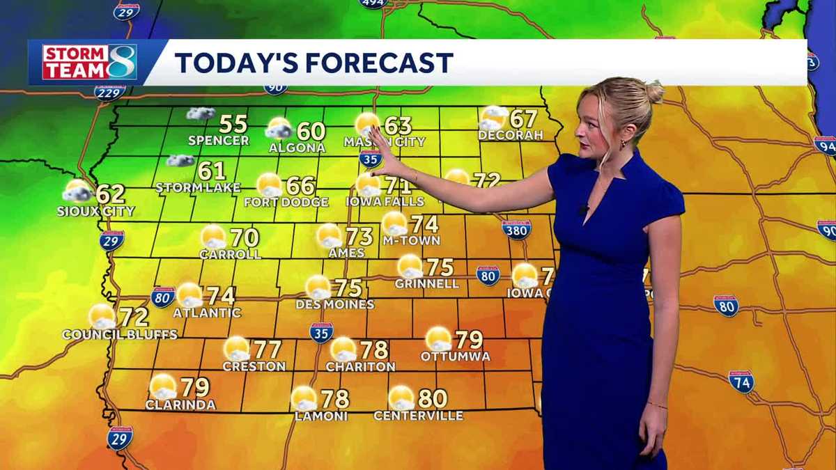 Iowa weather: A beautiful Sunday before rain chances ramp up
It'll be another perfect fall day today with high temperatures slightly cooler than yesterday in the mid 70s and less of a breeze. A cold front slowly moving across the state today will keep temperatures in northern…
-
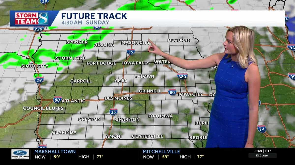 Iowa weather: A warm weekend before spotty showers next week
We'll have a great day for outdoor plans this Saturday with highs warmer than average in the upper 70s with a mix of sun and clouds. It'll be less gusty compared to yesterday but still breezy with gusts up to 20mph…
-
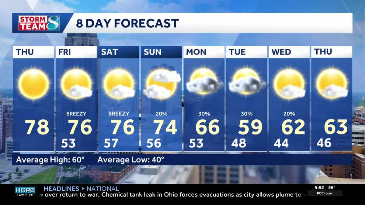 Iowa weather: Warm days continue into the weekend
We will continue to enjoy sunny weather for the rest of the week. Today is no exception, with highs in the mid- to upper-70s and south winds around 5 to 10 mph. A light layer may still be warranted for some of us, with…
-
 Corn and Soybean Harvest Behind Schedule in Iowa, First Frost of Season Seen
Corn and soybean harvest is behind schedule in Iowa. Ninety-eight percent of corn has reached maturity, which is even with the five-year average. Twenty-six percent of corn has been harvested, which is 24 percentage…
-
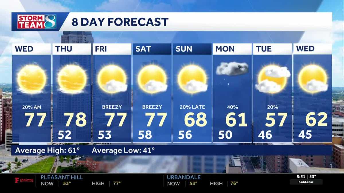 Iowa weather: Warm, dry conditions will come to an end next week
Clouds will linger a bit this morning, but most of the state will stay dry. Interactive Radar | Weather Alerts | Skycams There have been a few showers early this morning to the south and west, but the moisture is…
-
 Warm and dry weather pattern holds across Iowa
KWWL Unseasonably warm and dry conditions will continue tonight across Waterloo and much of Iowa. Patchy morning fog is possible, with a chance of rain returning this weekend.
-
 Thanksgiving weather predictions are out. What almanacs say for Iowa.
Iowa has finally been blessed with sunshine after September became the wettest month in 112 years. But will that sunshine last until Thanksgiving? Thanksgiving in 2026 falls on Thursday, Nov. 26. The holiday is always…
-
 Sunny skies, warm temperatures across central Iowa today
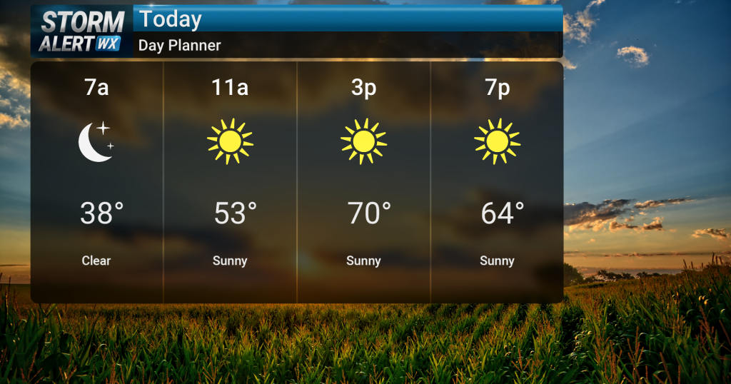
Sunny skies are expected today across central and northern Iowa as warm conditions persist. High temperatures will reach the low 70s, with breezy conditions possible in northwest Iowa during the afternoon with gusts up…
-
 Iowa weather: 70s and sunshine continues
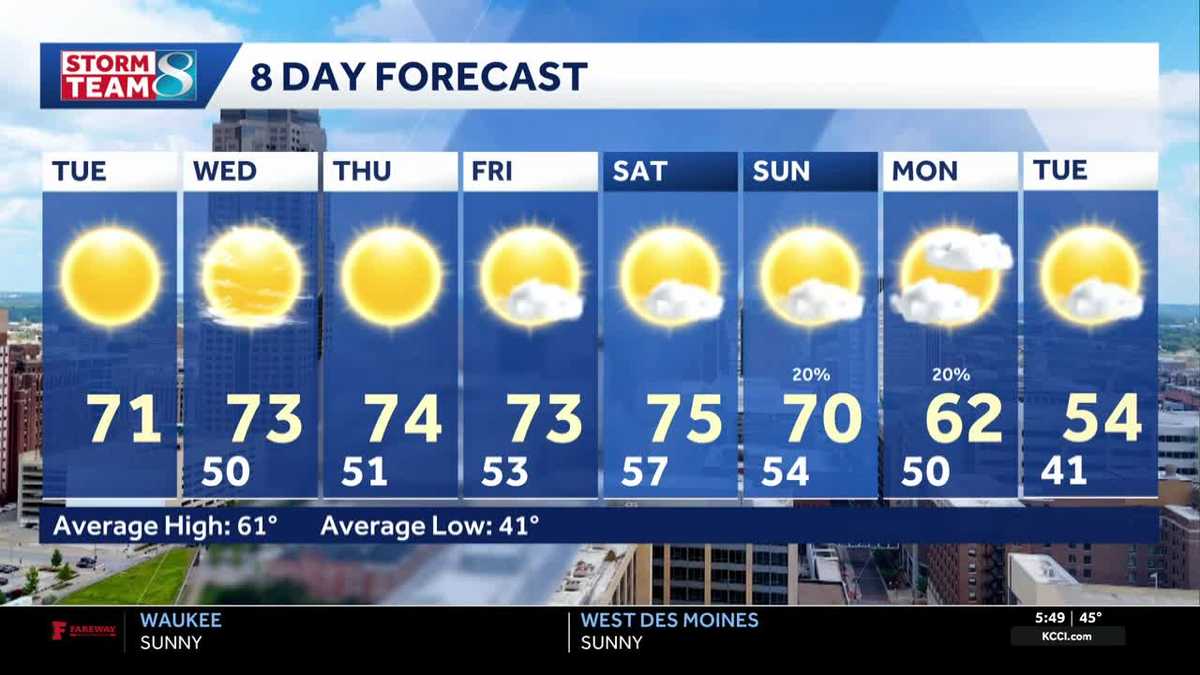
Another great day for outdoor plans is ahead for our Tuesday. High pressure is in place to our east, which will keep us dry all day. Our temperatures are still warmer than average, and we'll top out in the low 70s…
Air quality
Air quality is satisfactory, and air pollution poses little or no risk.
Forecast
- MonGood (42)
- TueModerate (65)
- WedModerate (56)
Northwest Iowa, IA reporting area · 1 hr ago. Data from AirNow (EPA and its state, local and tribal partners); preliminary and subject to change.
Sun & moon
Almanac
MonthlySpirit Lake, records since 1893. Normals 1991–2020. Data from NOAA's Regional Climate Centers (ACIS).
Nearby
- Worthington 46 km
- Spencer 31 km
- Fairmont 58 km
- Estherville 22 km
- Windom 49 km
- Emmetsburg 48 km
- Jackson 24 km
- Milford 12 km
- Sibley 53 km
- Mountain Lake 59 km
Forecasters' discussion
From the National Weather Service office in FSD, issued 5 hrs ago
Key Messages
- Rain is likely throughout the day for most of the area to start the new work week. Amounts through tonight will range from 0.5 to 1.5". Locally higher amounts remain possible in a corridor between the James River and MN/IA Highway 60.
- An active pattern aloft will lead to additional rain chances on Wednesday and potentially over the weekend. Monitor your local forecast if you have any outdoor plans
- Near to slightly above normal temperatures will return from Wednesday onwards with daily highs in the low to upper 60s with a few low 70s at times.
Update
Issued at 348 AM CDT Mon Oct 26 2026
A chilly rain continues to spread into northwest Iowa, eastern South Dakota, and southwestern Minnesota early this morning. An area of rain extends southwestward into central and western Nebraska, and all this activity will gradually lift north/northeast heading into the daytime hours Monday as an upper wave ejects into the central/northern Plains. Temperature-wise, most locations are ranging from the upper 30s to middle 40s, and these temperatures will stay steady through daybreak. Make sure to grab the rain jacket and umbrella before heading to work or school this morning!
Rain is likely across most of the area throughout the entire day today, the exception will be over portions of northwest Iowa mainly near and southeast of a Spencer to Sioux City line where some breaks in the rain are expected during the afternoon. This is where we will see the warmest high temperatures, with temperatures in the middle 50s to potentially the lower 60s by the mid afternoon. However, if rain ends up moving farther east than expected this afternoon, it could end up a couple of degrees cooler than this. For the rest of the area, it is highly certain with the rain that highs will be cooler than average, ranging from around 40 west to lower 50s east. Some destabilization may occur parts of northwest Iowa and adjacent areas of southeastern South Dakota and southern Minnesota, leading to a couple hundred J/kg of MUCAPE to develop by the evening. This could result in a few thunderstorms as the surface low lifts northeast nearby to this area during the evening; however, severe weather is not expected. This surface low will lift northeast of the area by daybreak Tuesday, drying the area out entirely.
As the rain exits, can't entirely rule out a few snowflakes mixing in with the rain late Monday evening/early overnight in our far western areas (<15% chance), but impacts are not expected as temperatures will be safely above freezing if and when this were to occur. Clouds will linger though the night even as the rain ends, and this combined with no real big push of cold air advection behind this system will mean the NBM may be a bit too cold for the morning lows for Tuesday. In collaboration with neighbors, did raise the lows a couple of degrees. With that, look for lows to range from the middle 30s west to upper 40s southeast. A few pockets of lower 30s will be possible in south- central South Dakota by sunrise Tuesday, but precipitation will be long gone by then.
Discussion
Issued at 155 PM CDT Sun Oct 25 2026
CURRENTS-MONDAY: Another dreary and wet day continues! Taking a look across the area, we're continuing to enjoy a brief break this afternoon as the rain shield lifts into northeastern SD and central SD. While these conditions will likely persist through late afternoon, should see a shift eastwards during the evening hours locking us into intermittent showers for most of the night. From here, should see rain coverage continue to expand into Monday morning as a developing mid-level low lifts out of the Nebraska panhandle into central and eastern SoDAK. Given the better lift and strengthening warm air advection (WAA) with the wave, pockets of moderate (and at times heavy) rain likely develop throughout the day mainly west of I-29. Otherwise, this will be a longer duration rainfall event (24-30 hours) so flooding concerns are not expecting. However, localized ponding in urban and low-lying areas will be possible at times especially where the heaviest accumulations develops.
Looking at overall amounts, most deterministic and ensemble guidance continues to show high agreement in areas along west of a Yankton to Sioux Falls to Windom, MN line being the focus for 1+ inches amounts during the period with some low to moderate potential (30%-50%) for locally higher (up to 2 inches) west of the James River Valley. As this activity continues to gradually lift northeastwards, could also see some convectively enhanced showers develop by Monday evening mainly along and east of I-29 as the dry slot lifts through portions of the area and some weak instability develops. Conditions should gradually clear from southwest to northeast starting as early as Monday evening. Lastly, a large temperature gradient will set up across the region on Monday due to the increased precipitation chances. As a result, daily highs will vary between the mid 40s to mid 50s in the wettest areas (west of the line) and mid 50s to low 60s in the driest areas (lower Missouri River Valley and northwestern IA).
TUESDAY & WEDNESDAY: Looking into Tuesday, any lingering showers should continue to taper off northeastwards during the morning hours bringing the return of quieter conditions. Cloud cover should gradually decrease west of I-29 as southerly surface winds return. This combined with a bit of lingering WAA will help temperatures slightly recover with highs expected to be in the low 60s to low 70s. A tightening SPG could also lead to some marginal breeziness in the afternoon with gusts between 20-30 mph expected. By Wednesday, could see the return of some scattered showers during the afternoon hours as a quick shortwave drags a cold front through the Northern Plains. However, any resulting accumulations would be light with most ensemble guidance showing low to moderate confidence (30%-50%) in measurable precipitation mainly east of I-29. Lastly, we'll see similar temperatures to Tuesday with highs peaking in the low 60s to low 70s.
THURSDAY ONWARDS: Heading into the extended period, quasi-zonal flow will return through about Friday before Upper-level ridging returns to the plains. Some medium to long-range deterministic guidance continues to latch on to some additional precipitation chances between Friday and Saturday. However, there are some timing discrepancies among guidance. We'll just continue to watch this period for now especially since its a big holiday for the kiddos. Otherwise, we'll continue to lean slightly above normal temperature- wise through Sunday with highs mainly in the 60s with some low 70s across northwestern IA at times.
Aviation
Issued at 640 AM CDT Mon Oct 26 2026
MVFR to IFR cigs will continue to impact the area through the period as rain continues to spread into the region. The exception will be over northwest Iowa where we will see some rising of cloud bases especially as we head into the afternoon hours. This will be relatively short-lived though as lower cigs will move right back into these areas during the evening. Cigs will generally be the lowest overnight tonight even as the rain ends, with the possibility of a few spots dropping to LIFR after midnight.
Isolated thunderstorms may develop this evening mainly over northwest Iowa and adjacent areas of southeastern South Dakota and southern Minnesota, but chances were not high enough to include in the TAFs at this time (15-25% chance). Winds will be mainly out of the northeast today with gusts up to 20-25 kts at times. Winds turn lighter this evening, but as a low pressure system moves northeastward tonight, this will result in variable directions across the area depending on which side of the low a location ends up on. The exact path of this low and thus how winds will change will be likely be refined in future updates.
Forecasts, observations and alerts in the United States come from the National Weather Service (NOAA); radar from NOAA's Multi-Radar Multi-Sensor system; satellite imagery from NASA's Global Imagery Browse Services (GIBS) and NOAA's GOES satellites; the map from the U.S. Geological Survey's National Map; air quality from AirNow (EPA and its partners); hurricane information from the National Hurricane Center; climate normals and records from NOAA's Regional Climate Centers (ACIS). Forecasts outside the United States and the UV index: MET Norway (CC BY 4.0); observations outside the U.S.: airport reports via NOAA's Aviation Weather Center. Place names: GeoNames (CC BY 4.0). Data are copied on a schedule and may lag the sources; for warnings that affect your safety, follow your local National Weather Service office and emergency officials. Weather news is drawn from the 4Search index and reflects what the press published. Terms of use. How to use Weather