Install
Madison, WI 53708 Weather
Current conditions
Forecast for this hour (no station report in the last two hours)
Forecast
10-day-
Tonight
Partly cloudy, with a low around 42. East wind around 0 mph.
-
Tuesday
Patchy fog before 9am. Sunny, with a high near 67. Southeast wind 0 to 5 mph.
-
Tuesday Night
Mostly clear, with a low around 44. South wind around 5 mph.
National Weather Service forecast updated 4 hrs ago.
Hourly
Hourly forecast- Now48°
- 2 AM46°
- 3 AM46°
- 4 AM45°
- 5 AM44°
- 6 AM43°
- 7 AM42°
- 8 AM44°
- 9 AM47°
- 10 AM51°
- 11 AM56°
- 12 PM60°
- 1 PM64°
- 2 PM65°
- 3 PM65°
- 4 PM65°
- 5 PM63°
- 6 PM61°
- 7 PM57°
- 8 PM54°
- 9 PM51°
- 10 PM49°
- 11 PM48°
- Wed12 AM47°
10-day forecast
Details- TonightOct 19Partly Cloudy42°
- TodayOct 20Patchy Fog then Sunny44°67°
- WedOct 21Patchy Fog then Sunny50°69°
- ThuOct 22Sunny48°70°
- FriOct 23Sunny50°69°
- SatOct 24Mostly Sunny52°68°
- SunOct 25Partly Sunny11%47°69°
- MonOct 26Mostly Sunny12%62°
- TueOct 27Cloudy0.02 in40°50°
- WedOct 28Partly cloudy37°50°
Days after the National Weather Service's seven are MET Norway's outlook, a computer model with no forecaster's review.
Radar
Full mapWeather news in Wisconsin
More weather news-
 A calmer, mild week ahead for north central Wisconsin
It's another quiet day across the region with mainly sunny to partly cloudy skies. Plenty more of these days are to come. WAUSAU, Wis. (WSAW) - If you enjoyed all the sunshine over the weekend, get used to plenty more…
-
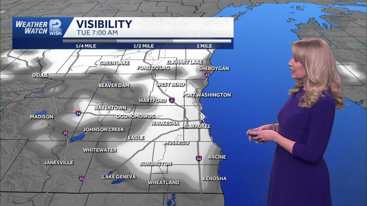 Mostly sunny and mild Monday in SE Wisconsin
WISN Mostly sunny and mild Monday in SE Wisconsin Overnight temperatures will be chilly with lows in the upper 30s to mid 40s. Monday will be mostly sunny with highs in the mid 60s. Lifestyle influencer shares new…
-
 Southeastern Wisconsin Weather - A Very Pleasant Week Ahead
TMJ4 News Today will be slightly warmer than yesterday, but also a little breezy with gusts up to 30 mph Highs will be in the lower 60s, leading to feels like temperatures very similar to yesterday afternoon.Considering…
-
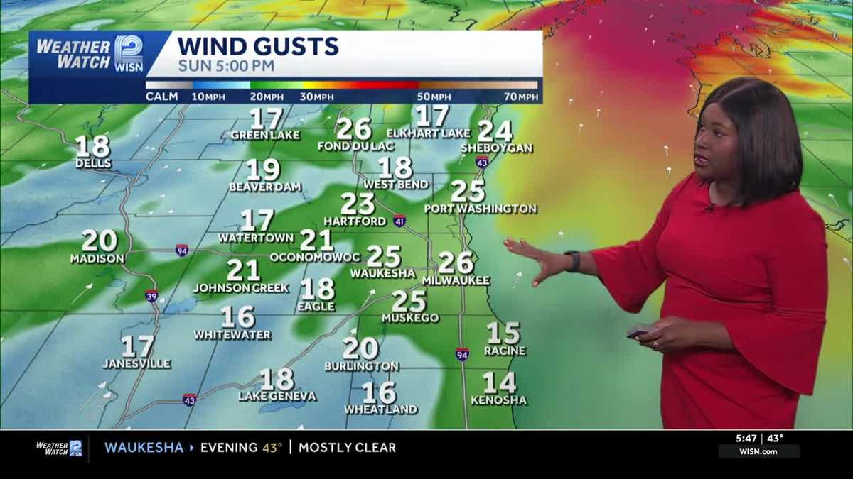 Windy & sunny Sunday for Southeast Wisconsin
Slightly warmer conditions will be felt in southeast Wisconsin as the weekend ends. Highs this afternoon are expected to reach around 62 under mainly sunny skies. However, today will be a breezy day with gusts up to 30…
- Grab your sunglasses: Wisconsin’s getting a beautiful stretch of sunshine
No frost early Sunday, but chilly. Sunshine dominates for the upcoming week and mild. WAUSAU, Wis. (WSAW) - Keep the shades handy and the light jacket heading out the door in the morning and during the evening hours…
-
 Southeastern Wisconsin Weather - A Cool and Sunny Weekend Ahead
TMJ4 News Lows this morning were in the 30s for our entire area This was our first widespread frost of the season with some areas even dropping below freezing The good news is that sunshine is expected for much of today…
-
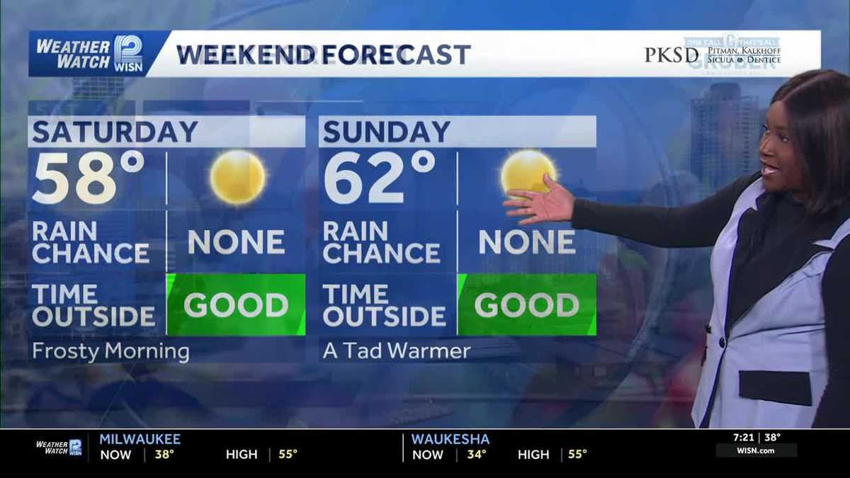 Frosty start to weekend, but warming back up in Southeast Wisconsin
After a frosty start to our morning, expect plenty of sunshine this afternoon with highs reaching around 58. A southerly wind will help warm temperatures a little later today. Tonight, under mostly clear skies, lows…
-
 Justin Liles: After a good freeze, warmer weather returns to Wisconsin, Minnesota, and Michigan this weekend
Scattered light showers across north-central Wisconsin will quickly fade this afternoon, with winds diminishing as high pressure moves overhead tonight. A hard freeze is expected across northwest Wisconsin, where lows…
-
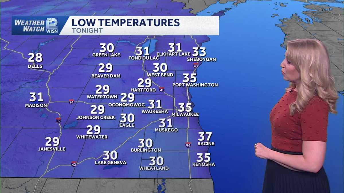 Coldest night of the season ahead for SE Wisconsin
WISN Coldest night of the season ahead for SE Wisconsin Freeze Warnings and Frost Advisories are in effect across SE Wisconsin as lows drop into the upper 20s to mid 30s overnight. 'I'm not a chicken': Senior citizens…
-
 Tracking a hard freeze for southern Wisconsin
EXTENDED FORECAST: Expect highs in the lower 60s with breezy conditions on Sunday. Going into next week, we start quiet with warming temperatures getting into the low 70s by midweek. Significant weather systems look…
Air quality
Acceptable. Unusually sensitive people should consider limiting prolonged outdoor exertion.
Forecast
- TueGood
- WedGood
- ThuGood
Madison Area, WI reporting area · 1 hr ago. Data from AirNow (EPA and its state, local and tribal partners); preliminary and subject to change.
Sun & moon
Nearby
- Janesville 54 km
- Sun Prairie 21 km
- Fitchburg 13 km
- Watertown 58 km
- Middleton 7 km
- Waunakee 14 km
- Stoughton 24 km
- Verona 12 km
- Fort Atkinson 50 km
- Baraboo 52 km
- Monroe 55 km
- Portage 52 km
Forecasters' discussion
From the National Weather Service office in MKX, issued 5 hrs ago
Key Messages
- Areas of fog look possible tonight, mainly over east central and southeast Wisconsin. This fog may become dense in time for the morning commute.
- Dry with a gradual warming trend through next weekend.
Update
Issued 709 PM CDT Mon Oct 19 2026
Short range guidance continues to hone in on the potential for fog overnight, mainly east of where a lake breeze pushed inland this past afternoon. Looking at radar observations, the lake breeze boundary pushed inland to roughly a line extending from the western border of Fond du Lac County, south through Beaver Dam, and southward through Elkhorn in Walworth County.
Provided high clouds clear in a timely manner tonight, the subsidence overhead, coupled with light winds and the lake modified air at the surface, should allow for areas of fog to form east of said lake breeze boundary. Guidance shows the potential for this fog to become dense in spots just in time for the morning commute. The fog may then linger until 9 or 10am given the lower sun angle and weaker mixing this time of the year. Visibility trends will be monitored for either an SPS or a Dense Fog Advisory during the early morning hours. Cautious travel is advised in any fog that develops.
CMiller
Short Term
Issued 142 PM CDT Mon Oct 19 2026
Tonight and Tuesday:
The dry and quiet weather continues across southern Wisconsin with pleasant, if slightly warmer than normal, temperatures through the week. High pressure from the Northern Plains will settle in across the Great Lakes Region today and remain for much of the work week. The ridging aloft and sfc high pressure across the Central and Eastern CONUS will keep winds light (direction variable at times) and skies mostly clear. During the overnight hours, the clear skies, light and variable winds and falling temperatures will proved a good environment for some fog development. Low lying areas, fields, marshes, river valleys etc will be the most susceptible for any fog development. Fog should be patchy with limited impacts expected. Any fog that does develop will diminish shortly after sunrise. Expect nearly identical conditions to today and tonight for Tuesday and Tuesday night.
Patterson
Long Term
Issued 142 PM CDT Mon Oct 19 2026
Tuesday night through Monday:
The ridging aloft will remain in place across the central and eastern CONUS through the rest of the work week keeping conditions dry. An overall benign and quiet forecast period. The next chances, while uncertain and weak, for rain is Saturday evening/Saturday night. The ridging aloft will start to tilt and break down a bit over the weekend as a low pressure system over the Pacific Northwest starts to move east. The split among guidance is still fairly significant which you can see in the deterministic runs of the global models well. This does continue through the ensembles and the cluster analysis which continues to show uncertainty in timing, location and strength of the low. The GFS has the stronger and more progressive low, which the EURO and CAN keep the low a bit weaker and have it as a ridge rider. The track of this low will determine what comes next for southern Wisconsin. Does the flow become a bit more meridional or does it stay zonal, either way there does seem to be a slight shift int he pattern after this Saturday. This could bring some more chances for rain back into the forecast as we look into next week.
TLDR for Saturday at the sfc is the location of the low and how strong the associated cold front is uncertain. Available moisture looks to be fairly low at this point which means this could be a dry frontal passage if there isn't any good WAA out ahead of the front. There is still too many uncertainties to draw any concrete conclusions so kept to the average among guidance (5-15% POPs with better chances as you go north into central and northern Wisconsin). The slightly warmer than normal temperatures are expected to continue throughout the extended with the prolonged southerly winds.
Patterson
Forecasts, observations and alerts in the United States come from the National Weather Service (NOAA); radar from NOAA's Multi-Radar Multi-Sensor system; satellite imagery from NASA's Global Imagery Browse Services (GIBS) and NOAA's GOES satellites; the map from the U.S. Geological Survey's National Map; air quality from AirNow (EPA and its partners); hurricane information from the National Hurricane Center; climate normals and records from NOAA's Regional Climate Centers (ACIS). Forecasts outside the United States and the UV index: MET Norway (CC BY 4.0); observations outside the U.S.: airport reports via NOAA's Aviation Weather Center. Place names: GeoNames (CC BY 4.0). Data are copied on a schedule and may lag the sources; for warnings that affect your safety, follow your local National Weather Service office and emergency officials. Weather news is drawn from the 4Search index and reflects what the press published. Terms of use.